The best walks and hikes around Vitry-Lès-Cluny
4.7
(348)
1,472
hikers
186
hikes
Hiking around Vitry-Lès-Cluny offers diverse landscapes, including expansive prairies, wooded areas, and cultivated lands with vineyards. The region is characterized by rolling hills, such as Mont Saint-Romain, providing varied terrain and panoramic views. Hikers will encounter characteristic hedgerows, ancient dry stone walls, and sunken paths throughout the rural surroundings. The area is part of the Natura 2000 zone, protecting its bocage, forests, and wetlands.
Best hiking trails in Vitry-Lès-Cluny
- The most popular hiking route is View over the Vallée de…
Last updated: June 27, 2026
4.8
(5)
13
hikers
5.85km
01:47
200m
200m
Easy hike. Great for any fitness level. Easily-accessible paths. Suitable for all skill levels.
5.0
(2)
10
hikers
10.5km
02:55
190m
190m
Moderate hike. Good fitness required. Easily-accessible paths. Suitable for all skill levels.

Sign up for free
9
hikers
13.4km
03:46
270m
270m
Moderate hike. Good fitness required. Easily-accessible paths. Suitable for all skill levels.
4.5
(2)
6
hikers
5.09km
01:25
100m
90m
Easy hike. Great for any fitness level. Easily-accessible paths. Suitable for all skill levels.
5.0
(2)
4
hikers
9.47km
02:42
220m
220m
Moderate hike. Good fitness required. Easily-accessible paths. Suitable for all skill levels.
Get access to more routes and recommendations from other explorers.
Sign up for free
Already have an account?
Our route recommendations are based on thousands of hikes, rides, and runs completed by other people on komoot.
Start today with a free account
Your next adventure awaits.
Login or Signup


Tips from the Community

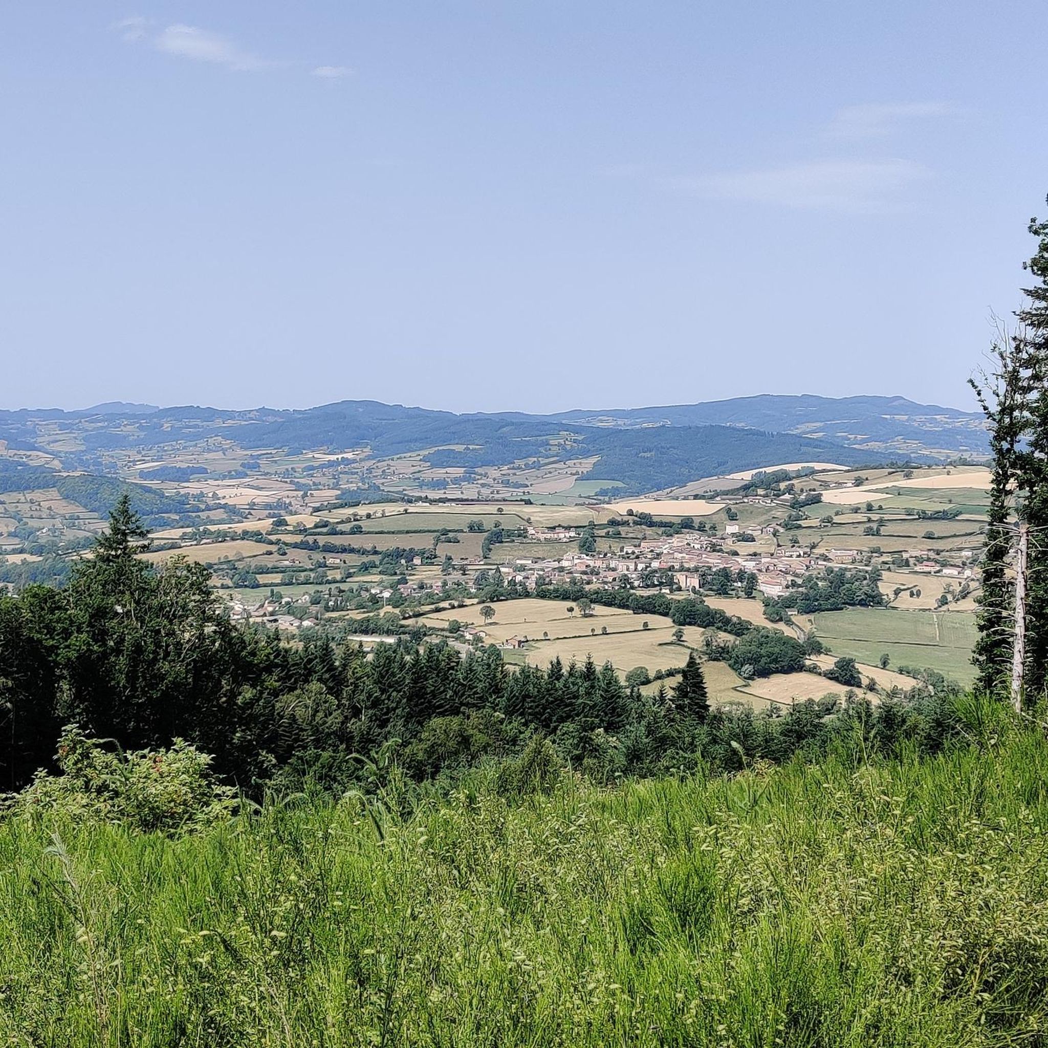
The information board describes the village of Salornay as a crossroads between the historical landscapes of Chalonnais, Charolais, and Clunisois at the confluence of the rivers Gande and Guye. The viewpoint is located above the valley on the edge of a wooded ridge, more specifically on the nature trail of the Bois de la Roche. From there, you have a wide view over the valley, characterized by a hedgerow landscape.
0
0
The current complex was built in the 15th century, after a predecessor had been destroyed on the orders of the French king. The irregular quadrilateral encloses a central courtyard. The striking north entrance, visible in the picture, is flanked by two mighty round towers equipped with gun loops (archères-canonniers) and was formerly protected by a drawbridge. The complex has been a listed Monument historique since 1967. Parts of the castle have been restored and are privately used as a charming guest house (Le Gros Chigy Château) for travellers in Burgundy.
1
0

Beautiful Romanesque church from the 12th century.
0
0

It was built in the 15th century after the destruction of a first castle on the orders of the King of France, who belonged to the Mâcon region, and who was fighting against the Duke of Burgundy. Located on the hillside, between two hamlets, it is a castle whose buildings are grouped together and form a quadrilateral around a central courtyard. The entrance is framed by two round towers pierced by archers, and was formerly equipped with a drawbridge. It will serve as a hotel, the guest rooms are almost finished.
1
0
Frequently Asked Questions
How many hiking trails are available around Vitry-Lès-Cluny?
There are over 170 hiking trails around Vitry-Lès-Cluny, offering a wide range of options for all skill levels. You'll find everything from easy strolls through the countryside to more challenging routes with significant elevation changes.
What kind of terrain can I expect on hikes near Vitry-Lès-Cluny?
The terrain around Vitry-Lès-Cluny is quite varied. You can expect to traverse expansive prairies, lush wooded areas, and cultivated lands, including vineyards. The region is characterized by rolling hills, ancient dry stone walls, hedgerows, and sunken paths, providing a diverse and picturesque hiking experience.
Are there any family-friendly hiking options in Vitry-Lès-Cluny?
Yes, Vitry-Lès-Cluny offers many easy routes suitable for families. For example, the Matray loop from La Vineuse is an easy 5 km (3.1 miles) trail that takes about 1 hour 23 minutes to complete, leading through local countryside. Many local loops are designed to be accessible for various fitness levels.
Can I bring my dog on the hiking trails around Vitry-Lès-Cluny?
Many trails in the Vitry-Lès-Cluny area are dog-friendly, allowing you to enjoy the natural beauty with your canine companion. It's always recommended to keep dogs on a leash, especially when passing through cultivated areas or near livestock, and to check specific trail regulations if available.
What are some notable landmarks or viewpoints I can discover while hiking?
Hiking around Vitry-Lès-Cluny offers several points of interest. You can find routes leading to Mont Saint-Romain, which provides stunning panoramic views. The area is also close to historical sites like the Château de Cormatin, known for its magnificent gardens, and the historic town of Cluny with its famous abbey. The Château de Gros Chigy loop from Saint-André-le-Désert is a moderate route that passes by a château, combining natural scenery with historical interest.
Are there many circular hiking routes available?
Yes, the region around Vitry-Lès-Cluny is rich in circular hiking routes, often referred to as 'loops'. These are popular as they allow you to start and end your hike in the same location without needing to arrange transport back. Many local trails, like the View over the Vallée de la Guy loop from Salornay-sur-Guye, are designed as loops.
What is the best time of year to go hiking in Vitry-Lès-Cluny?
The best time for hiking in Vitry-Lès-Cluny is generally from spring through autumn (April to October). During these months, the weather is typically mild and pleasant, and the landscapes are vibrant. Spring brings blooming wildflowers, while autumn offers beautiful foliage. Summer is also great, but be prepared for warmer temperatures.
What do other hikers say about the trails in Vitry-Lès-Cluny?
The hiking routes in Vitry-Lès-Cluny are highly regarded by the komoot community, with an average rating of 4.7 stars from over 300 reviews. Hikers often praise the well-maintained paths, the diverse and charming rural landscapes, and the rewarding views from the rolling hills.
Are there any long-distance trails that pass through or near Vitry-Lès-Cluny?
Yes, the significant 'Via Cluny' trail, a long-distance route tracing the historical paths of Cluniac monks, partially runs through Burgundy. This 119 km section offers a unique blend of natural beauty, architectural wonders, and cultural heritage. The renowned Abbaye de Cluny, about 9 km from Vitry-Lès-Cluny, serves as a starting point for this historical trek. You can find more information about the Via Cluny on the Burgundy Tourism website.
What are the options for parking when hiking in the area?
Many trailheads in and around Vitry-Lès-Cluny offer designated parking areas, especially in villages or near popular starting points for local loops. It's common to find parking available in the hamlets where routes begin, allowing convenient access to the trails.
Are there any challenging hikes for experienced hikers?
While Vitry-Lès-Cluny is known for its accessible trails, there are also options for more experienced hikers. The region offers 11 difficult routes and over 100 moderate routes that provide more significant elevation gains and longer distances, allowing for a more strenuous and rewarding experience.
Most popular routes around Vitry-Lès-Cluny
Most popular attractions around Vitry-Lès-Cluny

Get inspired with the komoot mobile app


Explore more
Browse the best Hikes in other regions.
