
The best running trails around Rubempré
4.1
(31)
551
runners
93
runs
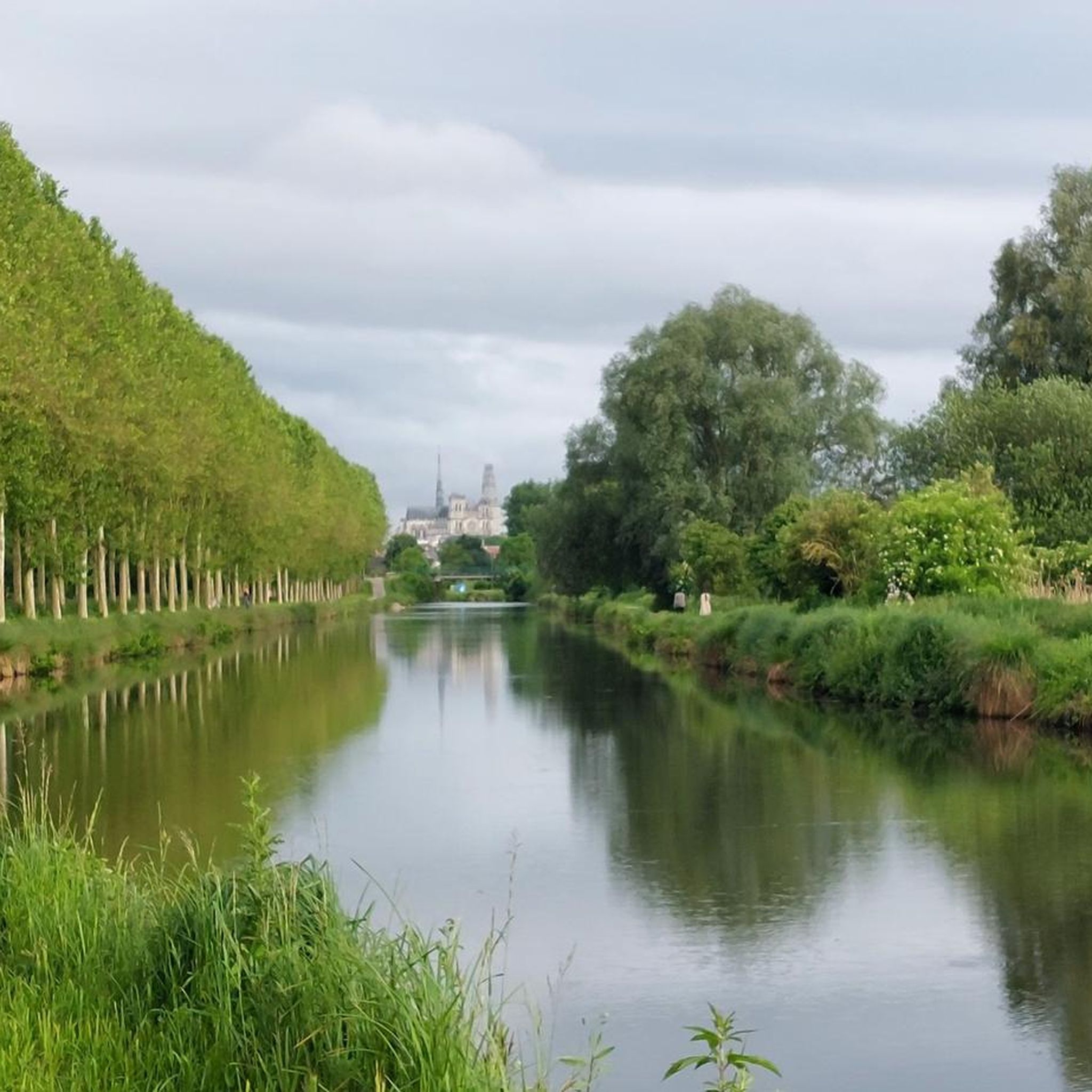
Jogging routes Rubempré traverse the gentle, rolling terrain characteristic of the Somme region in France. The landscape primarily consists of agricultural fields, small woodlands, and quiet village roads, offering a peaceful environment for running. Elevation changes are generally modest, making most paths suitable for various fitness levels.
Best jogging routes around Rubempré
- The most popular jogging route is Running loop from Talmas, a 6.5 miles (10.4 km) trail that takes 1 hour 5 minutes to complete. This moderate route…
Last updated: October 13, 2026
3.7
(3)
8
runners
10.4km
01:05
40m
40m
Moderate run. Good fitness required. Mostly paved surfaces. Suitable for all skill levels.
8
runners
11.0km
01:11
80m
80m
Moderate run. Good fitness required. Mostly paved surfaces. Suitable for all skill levels.

3.7
(3)
10
runners
10.9km
01:08
40m
40m
Moderate run. Good fitness required. Mostly paved surfaces. Suitable for all skill levels.
5.0
(5)
7
runners
8.22km
00:51
60m
60m
Moderate run. Good fitness required. Mostly paved surfaces. Suitable for all skill levels.
6
runners
5.18km
00:33
60m
60m
Moderate run. Good fitness required. Mostly paved surfaces. Suitable for all skill levels.
Get access to more routes and recommendations from other explorers.
Already have an account?
Our route recommendations are based on thousands of hikes, rides, and runs completed by other people on komoot.
Start today with a free account
Your next adventure awaits.



Frequently Asked Questions
What kind of terrain can I expect on running routes around Rubempré?
The running routes in the Rubempré area, located in the Somme region of France, typically feature gentle, rolling terrain. You'll mostly encounter agricultural fields, small woodlands, and quiet village roads, offering a peaceful environment for your run. Elevation changes are generally modest, making most paths suitable for various fitness levels.
How many running trails are available in the Rubempré area?
There are over 90 running routes available around Rubempré, offering a wide range of options for different preferences and fitness levels. The komoot community has explored these paths extensively, with over 450 runners using komoot to discover the area.
Are there any easy running routes suitable for beginners or a relaxed jog?
Yes, Rubempré offers several easy running paths. Out of the total routes, 9 are specifically categorized as easy, making them perfect for beginners or those looking for a more relaxed jog. These routes generally have minimal elevation gain and cover shorter distances.
What do other runners say about the trails in Rubempré?
The running routes around Rubempré are highly rated by the komoot community, holding an average score of 4.1 stars from over 29 reviews. Runners often praise the peaceful rural landscapes and the variety of paths through fields and quiet country lanes.
Are there any circular running routes in Rubempré?
Yes, many of the running routes around Rubempré are designed as loops, allowing you to start and finish in the same location. For example, the Running loop from Mirvaux is a moderate 8.2 km trail that offers a scenic circular experience.
Can I find any points of interest or landmarks along the running routes near Rubempré?
While Rubempré itself is a quiet village, the surrounding area offers some interesting landmarks. You might consider exploring nearby attractions such as the Faidherbe Column, the historic Naours Underground City, or the impressive Château de Bertangles. These are generally a short distance from the main running areas.
Are the running trails around Rubempré suitable for families?
The gentle nature of the terrain and the presence of easy routes make many of the paths around Rubempré suitable for families. The quiet village roads and small woodlands provide a safe and pleasant environment for a family jog or walk. Always check the specific route details for distance and difficulty to ensure it matches your family's capabilities.
Is there parking available near the running routes in Rubempré?
As Rubempré is a rural area, parking is generally available in or near the villages where many routes begin. For instance, routes like the Running loop from Molliens-au-Bois typically have village parking options. It's advisable to check local signage for specific parking regulations.
What is the best season for running in Rubempré?
The Somme region generally experiences mild weather, making spring and autumn ideal for running in Rubempré. These seasons offer pleasant temperatures and beautiful natural scenery. Summer can also be enjoyable, especially in the mornings or evenings, though some routes might have limited shade as they traverse open agricultural fields.
Are there any running routes that start directly from Rubempré village?
Yes, you can find running routes that start directly from Rubempré. A popular option is the Running loop from Rubempré, which is a moderate 10.9 km trail leading through the rural landscapes surrounding the village.
Can I access the running routes using public transport?
Public transport options directly to the starting points of all running routes in Rubempré may be limited due to its rural location. While some villages might have bus services, having a car often provides the most flexibility for accessing the various trailheads around Rubempré and the broader Somme region.
Are there any shaded running trails in the Rubempré area?
While many routes traverse open agricultural fields, you can find sections with shade, particularly in the smaller woodlands and along tree-lined village roads. For example, the region research mentions 'small woodlands' as part of the landscape, indicating some shaded areas are present within the broader network of paths.
Most popular attractions around Rubempré

Get inspired with the komoot mobile app


Explore more
Browse the best Running Trails & Routes in other regions.
