The best walks and hikes around Bourgvilain
4.7
(640)
3,531
hikers
298
hikes
Hiking around Bourgvilain offers diverse natural landscapes characterized by gently rolling meadows, woods, and vineyards. The region features prominent natural monuments like the Roche de Solutré, which provides panoramic views over the Mâconnais vineyards. Hikers can explore varied terrain, including the Val Lamartinien and Haut-Mâconnais, known for their mix of vineyards, woodlands, and bocage. Bourgvilain is also part of a Natura 2000 protected area, ensuring well-maintained natural habitats for outdoor activities.
Best hiking trails in Bourgvilain
- The most popular hiking…
Last updated: June 27, 2026
4.7
(10)
37
hikers
7.93km
02:21
230m
230m
Moderate hike. Good fitness required. Easily-accessible paths. Suitable for all skill levels.
3.0
(1)
32
hikers
Easy hike. Great for any fitness level. Easily-accessible paths. Suitable for all skill levels.

Sign up for free
4.6
(7)
14
hikers
13.3km
04:01
430m
430m
Moderate hike. Good fitness required. Easily-accessible paths. Suitable for all skill levels.
5.0
(2)
16
hikers
13.0km
03:45
300m
300m
Moderate hike. Good fitness required. Easily-accessible paths. Suitable for all skill levels.
5.0
(1)
9
hikers
18.1km
05:27
570m
570m
Hard hike. Very good fitness required. Easily-accessible paths. Suitable for all skill levels.
Get access to more routes and recommendations from other explorers.
Sign up for free
Already have an account?
Our route recommendations are based on thousands of hikes, rides, and runs completed by other people on komoot.
Start today with a free account
Your next adventure awaits.
Login or Signup

Tips from the Community

Small restaurant with a cozy atmosphere 😉
0
0
Beautiful small lake that invites you to swim, not too crowded and warm in summer.
0
0

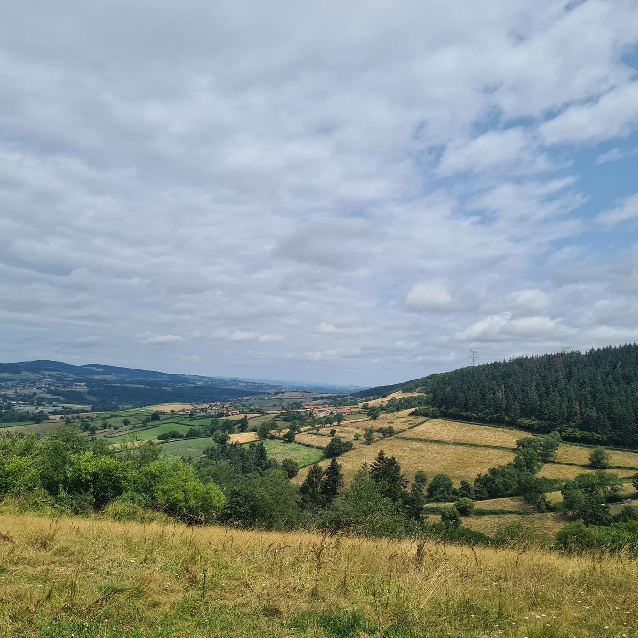
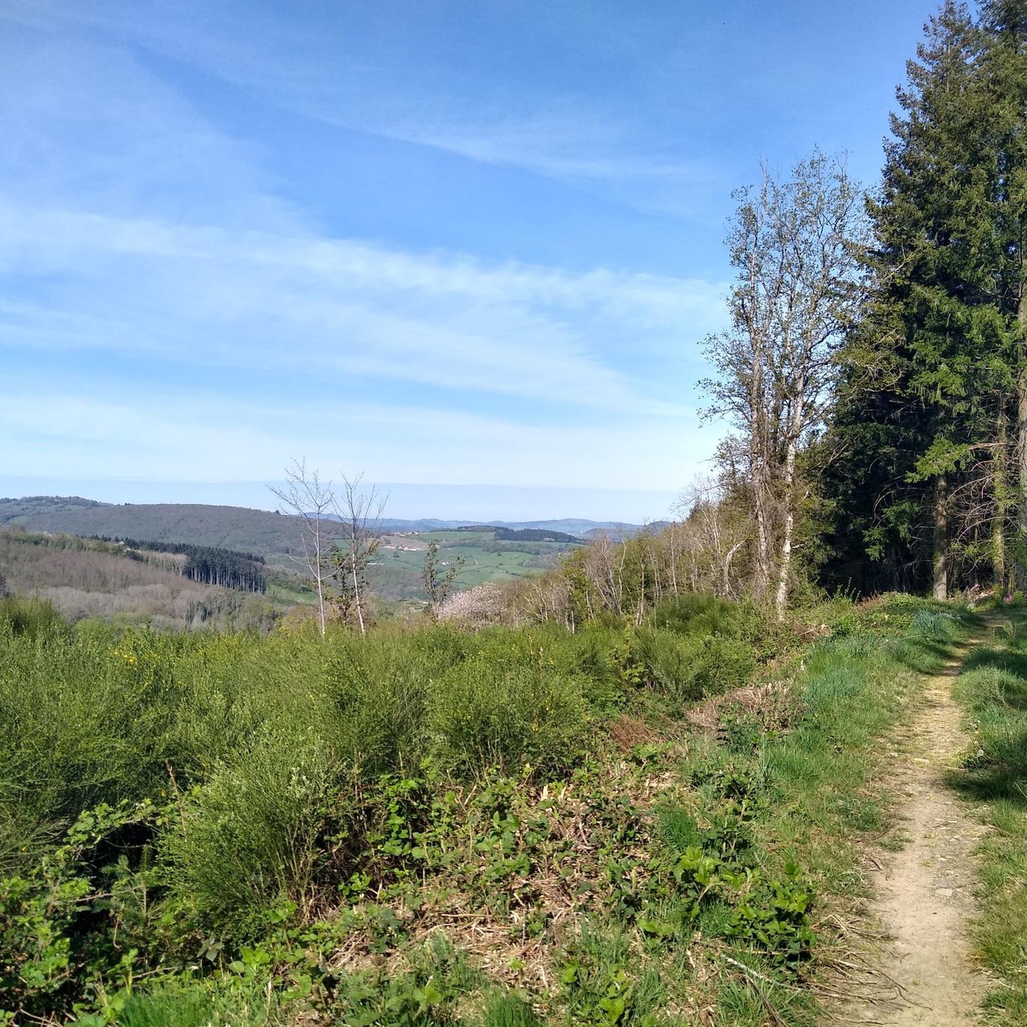
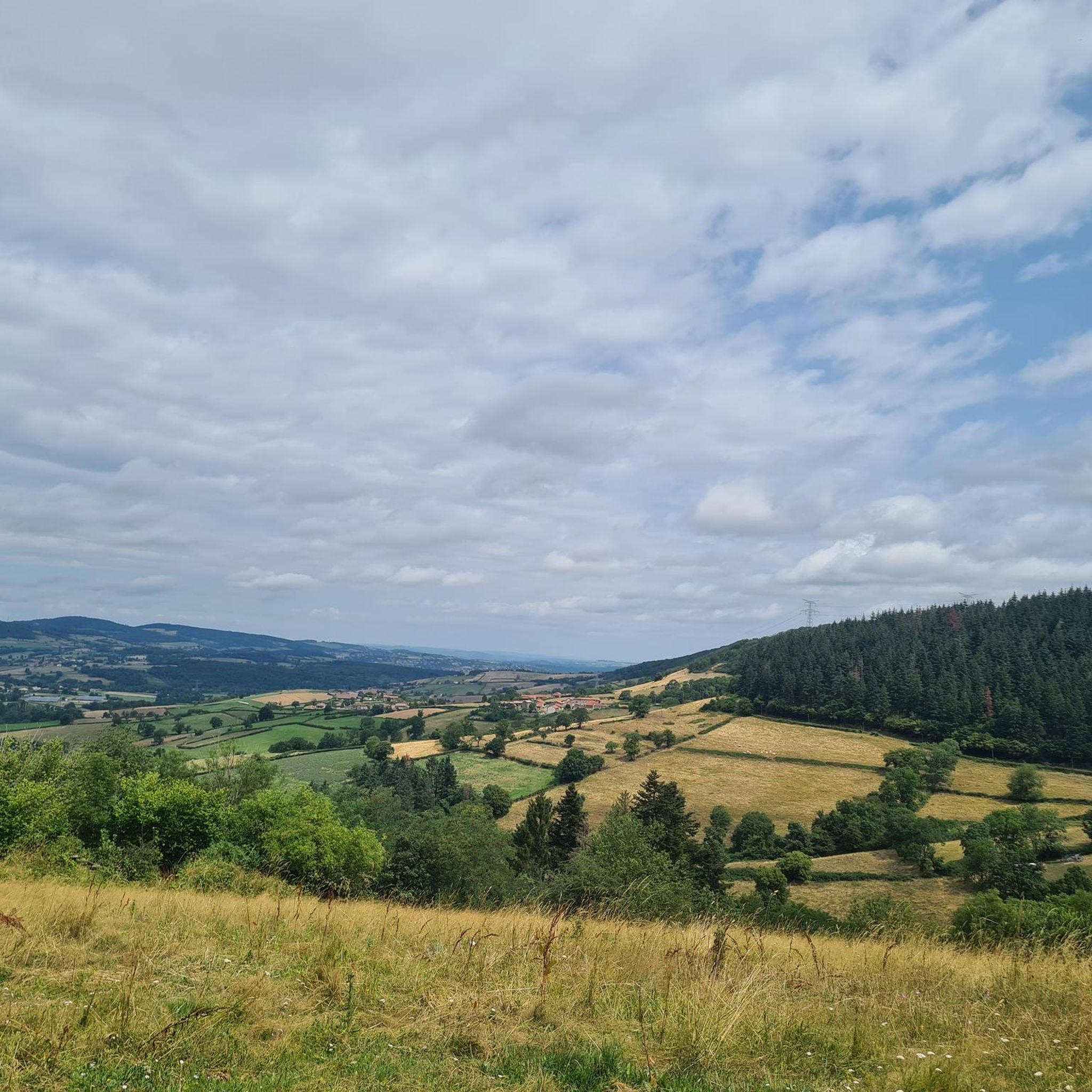
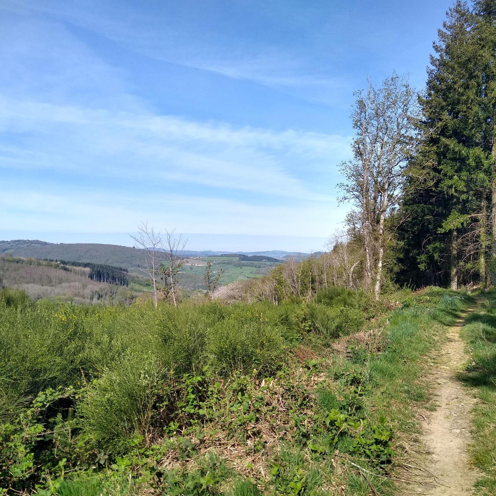
Great landscape panorama at Bois Berthaud, a popular nature and hiking area in Burgundy (France), located in the hills of the Mâconnais or Beaujolais region. The area is characterized by vast, green hill ranges, calf and cow pastures, as well as wooded sections. From the ridges around Bois Berthaud, there is a sweeping panoramic view of the surrounding countryside.
1
0
The lake is located in the French region of Bourgogne-Franche-Comté, in the département of Doubs, at an altitude of around 850 meters. After Lac du Bourget and Lac d'Annecy, it is the third largest natural lake in France. It is a very popular swimming lake in the summer and offers opportunities for kayaking, windsurfing, and stand-up paddling. There is also a popular hiking trail around the entire lake, approximately 20 kilometers long.
1
0
The lake is located in the Doubs department in the French region of Bourgogne-Franche-Comté at an altitude of around 850 meters. After Lac du Bourget and Lac d'Annecy, it is the third largest natural lake in France. It is a very popular lake for swimming in the summer and offers opportunities for kayaking, windsurfing, and stand-up paddling. There is also a popular hiking trail around the entire lake, approximately 20 kilometers long.
1
0

Beautiful church of Tramayes
0
0

very beautiful church
0
0

There's a circular trail and many nice, secluded spots. The campsite has a cafe, which is unfortunately closed at lunchtime, but still offers shady seating, toilets, and fresh water.
1
0
Frequently Asked Questions
What types of landscapes can I expect to see while hiking around Bourgvilain?
Bourgvilain offers a diverse range of landscapes, including gently rolling meadows, dense woodlands, and expansive vineyards. The region is characterized by a blend of these environments, from the Val Lamartinien to the Haut-Mâconnais, providing varied terrain for exploration.
Are there many hiking trails available in Bourgvilain?
Yes, Bourgvilain boasts a wide selection of hiking opportunities. There are over 270 routes available, catering to various preferences and fitness levels. These include easy lakeside strolls, moderate woodland paths, and more challenging ascents through the hills.
What are some notable landmarks or attractions I can find near the hiking trails?
Hikers in Bourgvilain can explore several significant landmarks. The prominent Roche de Solutré offers spectacular panoramic views over the Mâconnais vineyards. Other natural features include Vergisson Rock and Mount Pouilly. Additionally, you might encounter historical sites like the Medieval fortress of Berzé-le-Châtel or Pierreclos Castle.
Are there any easy, family-friendly hiking options in Bourgvilain?
Absolutely. For families or those seeking a relaxed walk, the Lake Saint-Point loop from Saint-Point is an excellent choice. This easy 1.2-mile (1.9 km) path offers pleasant views around Lac de Saint-Point Lamartine and is suitable for all ages.
What is the best time of year to go hiking in Bourgvilain?
The Burgundy-Franche-Comté region, including Bourgvilain, is enjoyable for hiking throughout much of the year. Spring and autumn offer pleasant temperatures and beautiful scenery, with vineyards changing colors. Summer is also popular, especially for routes near water like Lac de Saint-Point. While winter hikes are possible, some trails might be less accessible depending on conditions.
Are there any circular hiking routes around Bourgvilain?
Yes, many of the trails around Bourgvilain are circular, allowing you to start and end at the same point. An example is the moderate Lake Saint-Point – Berthaud Wood loop from Saint-Point, which explores woodlands and lakeside areas. Another option is the longer Lake Saint-Point – Trail Near Bourg de Tramayes loop from Saint-Point.
What do other hikers say about the trails in Bourgvilain?
The hiking routes in Bourgvilain are highly regarded by the komoot community, holding an average rating of 4.7 stars from over 700 reviews. Hikers frequently praise the diverse scenery, from tranquil lakesides to rolling vineyards and dense forests, as well as the well-maintained natural environment.
Can I bring my dog on the hiking trails in Bourgvilain?
Many trails in the Bourgvilain area are dog-friendly, allowing you to enjoy the outdoors with your canine companion. However, it's always recommended to keep dogs on a leash, especially in protected areas like the Natura 2000 sites, and to check specific trail regulations before you go.
Are there any longer or more challenging hikes for experienced hikers?
For those seeking a greater challenge, Bourgvilain offers more demanding routes. The Lake Saint-Point – Tramayes loop from Saint-Point is a difficult 11.2-mile (18.1 km) trail with significant elevation changes, providing a rewarding experience for experienced hikers.
Is public transport available to access hiking trailheads in Bourgvilain?
While specific public transport links directly to every trailhead might be limited, Bourgvilain is situated within a region with some transport options. For detailed information on local bus services or train connections to nearby towns, it's best to consult local tourism resources or transport providers in the Burgundy-Franche-Comté region.
Are there places to eat or find refreshments along the hiking routes?
The region around Bourgvilain, including the Val Lamartinien and Haut-Mâconnais, features charming villages and towns. While not every trail will have direct amenities, you can often find restaurants, cafés, or local shops in nearby settlements to refuel before or after your hike. It's advisable to carry sufficient water and snacks, especially on longer routes.
What makes the natural environment around Bourgvilain special for hiking?
Bourgvilain is part of a Natura 2000 protected area, 'Bocage, forêts et milieux humides du bassin de la Grosne et du Clunisois.' This designation ensures the preservation of natural habitats, particularly for aquatic species, contributing to a well-maintained and ecologically rich environment that enhances the hiking experience.
Most popular routes around Bourgvilain
Most popular attractions around Bourgvilain

Get inspired with the komoot mobile app


Explore more
Browse the best Hikes in other regions.
