The best road cycling routes around Rothau
4.6
(113)
2,527
riders
12
rides
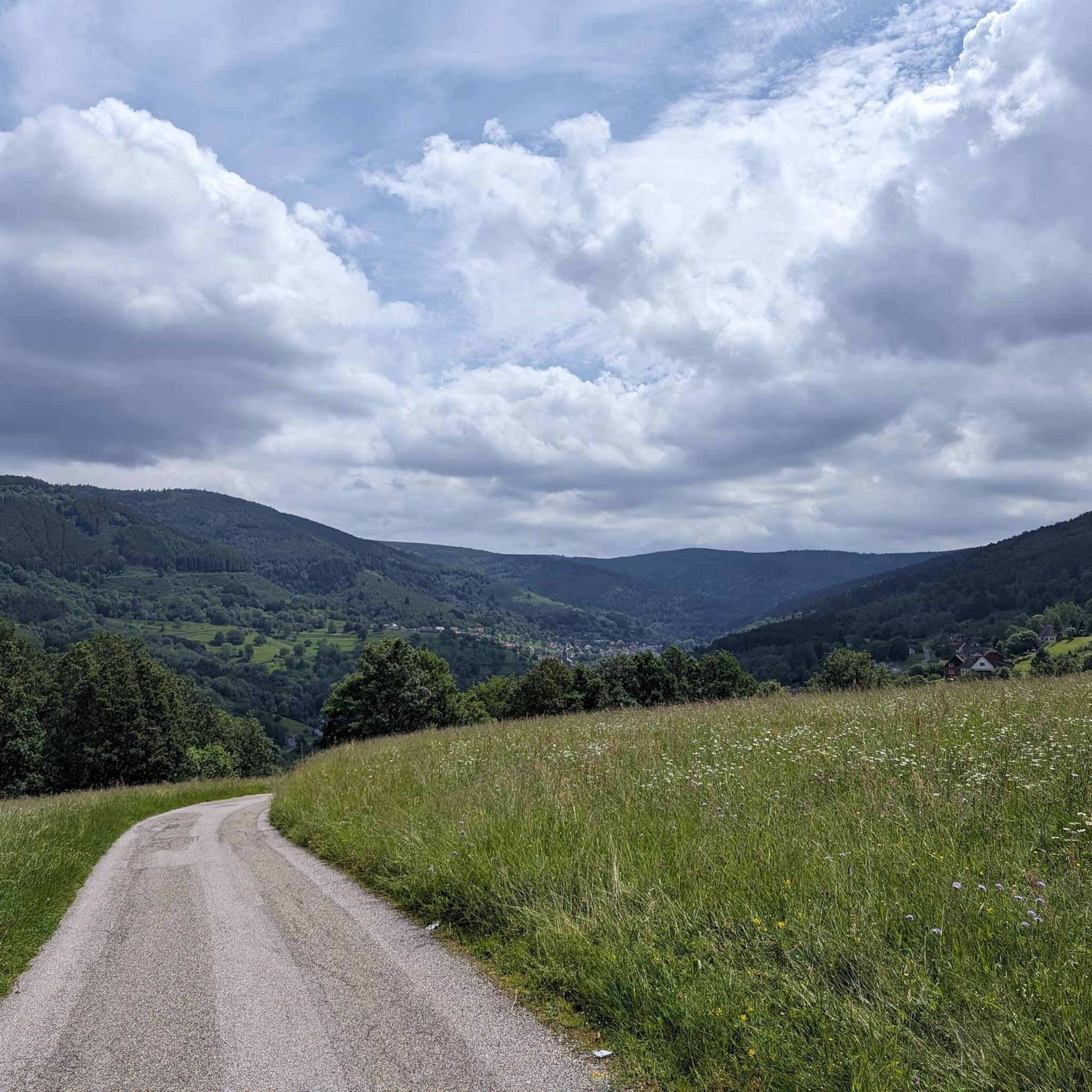
Road cycling around Rothau offers diverse landscapes within the Bas-Rhin department of France. The region features green, forested reliefs and varied terrain, including high-altitude sections, valley rides, and open fields. Situated in the picturesque Bruche Valley, routes often include varying elevations and lead through forests and past rivers like the Bruche and Rothaine. Pink granite quarries also add to the unique geological features encountered.
Best road cycling routes around Rothau
- The most popular road cycling route is Porte de Boersch…
Last updated: July 5, 2026
4.6
(5)
169
riders
64.5km
02:56
610m
610m
Moderate road ride. Good fitness required. Mostly well-paved surfaces and easy to ride.
4.8
(4)
121
riders
76.9km
04:03
1,250m
1,250m
Hard road ride. Very good fitness required. Mostly well-paved surfaces and easy to ride.

Sign up for free
5.0
(3)
87
riders
52.2km
02:55
1,010m
1,010m
Hard road ride. Very good fitness required. Mostly well-paved surfaces and easy to ride.
4.0
(2)
20
riders
62.9km
03:08
920m
920m
Hard road ride. Very good fitness required. Mostly well-paved surfaces and easy to ride.
11
riders
46.2km
02:52
1,080m
1,080m
Hard road ride. Very good fitness required. Some segments of this route may be unpaved and difficult to ride.
Get access to more routes and recommendations from other explorers.
Sign up for free
Already have an account?
Our route recommendations are based on thousands of hikes, rides, and runs completed by other people on komoot.
Start today with a free account
Your next adventure awaits.
Login or Signup
Tips from the Community

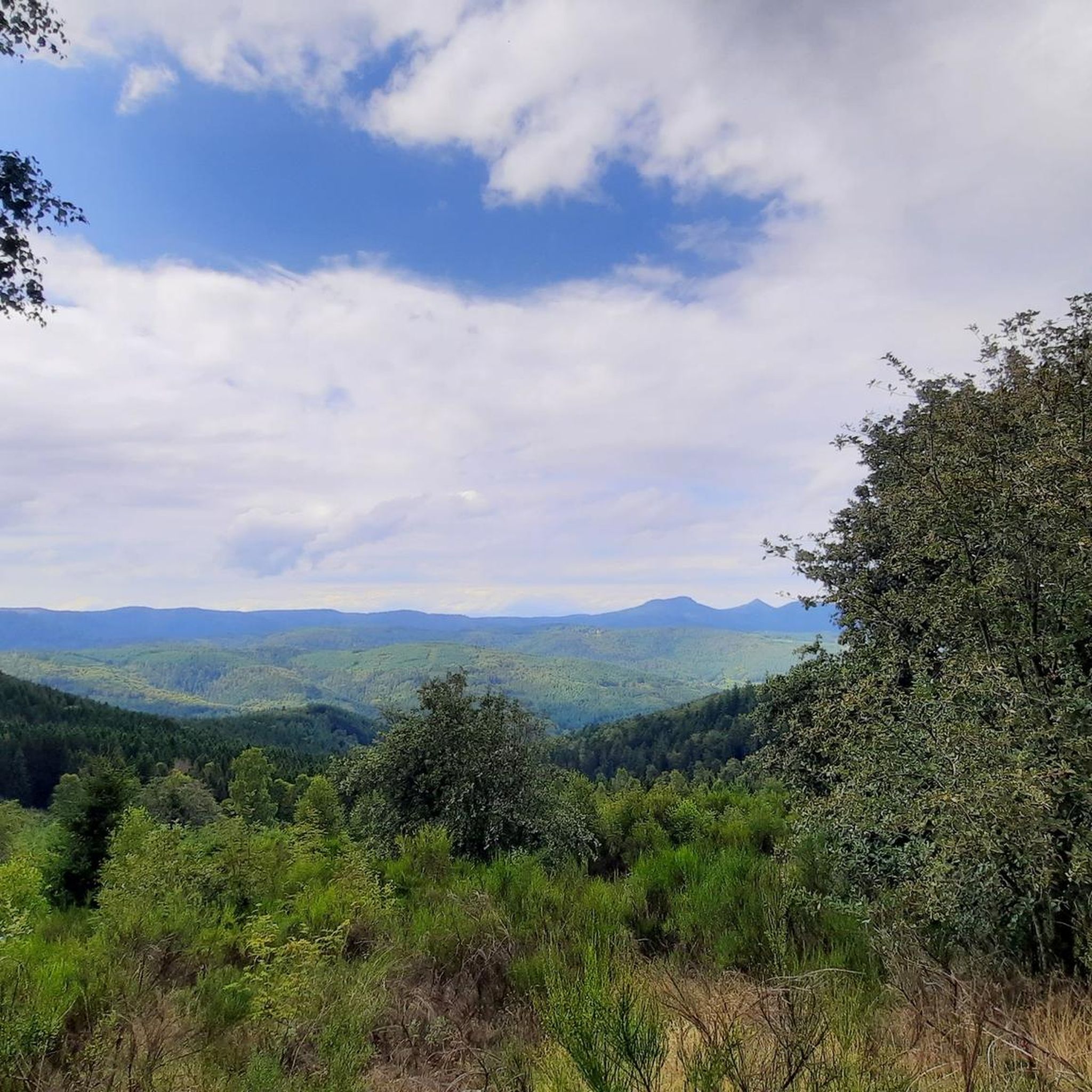
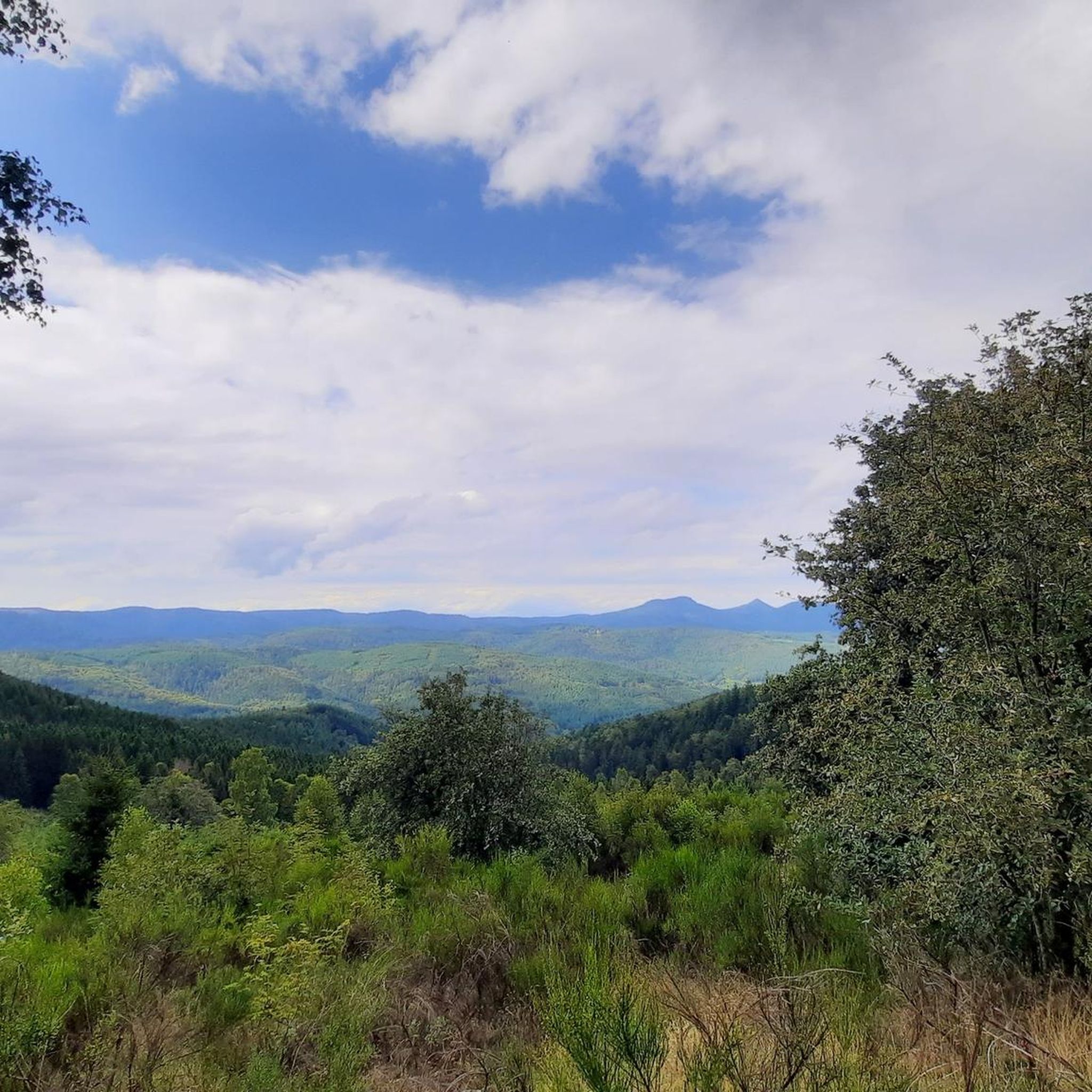
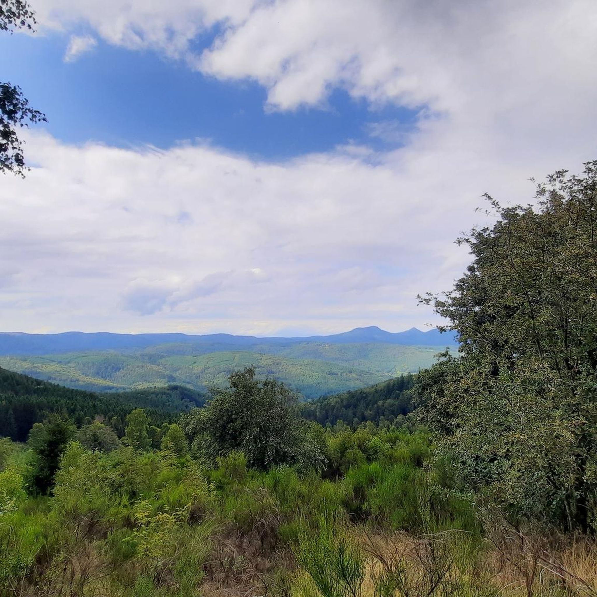
The Champ du Feu, at 1099 meters, is the highest mountain in the Bas-Rhin department in the Vosges in Alsace. It is located between the towns of Belmont and Le Hohwald and consists of a vast plateau with forests, meadows, and moorlands. The area is a popular nature and recreational area. In summer, it is mainly used for hiking, mountain biking, and nature observation. In winter, there is a small ski area with cross-country trails and simple slopes for winter sports. From the Champ du Feu, the La Serva stream originates, which later forms the Cascade de la Serva. In clear weather, the summit offers wide views over the Vosges, the Rhine plain, and even the Black Forest. The area is particularly known for its quiet nature, high moors, sunrises and starry skies, as well as well-marked hiking trails.
0
0

Beautiful route, pleasant but lots of bikers...
0
0


Beautiful hiking destination, there is also a cycling route
0
0

A long and beautiful forest road. However, it's bumpy in places on a road bike!
0
0

Beautiful climb and lovely view at the pass - Altitude 728m Restaurants (inns) at the pass
0
0

The climb begins at the exit of the village of Russ with a very easy slope to tackle. A first flat area appears before the road rises again at Schwarzbach. It is then off for 3.4 km on a beautiful shaded road. The reward is discovered at the summit when you arrive in the beautiful village of Grandelbruch. For the more courageous, it is possible to continue with the climb of Hobhul (to be taken at the town hall) for a total climb of 10.5 km / 480 D+ (starting from the exit of Russ).
0
0

A truly great forest road through a beautiful forest, a bit bumpy in places (April 2025), but good for rolling (towards Mossey) or leisurely climbing (towards Mt Donon). It was fun!
1
0
Frequently Asked Questions
How many road cycling routes are available around Rothau?
Rothau offers a selection of 13 road cycling routes, catering to various skill levels. You'll find options ranging from moderate to difficult, ensuring a suitable challenge for most cyclists.
What kind of terrain and elevation changes can I expect on road cycling routes near Rothau?
The region around Rothau is characterized by diverse landscapes, including green, forested reliefs and varied terrain. Routes often feature a mix of high-altitude sections, valley rides through the picturesque Bruche Valley, and open fields. Expect significant elevation changes, with some difficult routes climbing over 1200 meters, offering both challenging ascents and rewarding descents.
Are there any easy road cycling routes for beginners in Rothau?
Yes, there is one easy road cycling route available around Rothau. While many routes are moderate to difficult, this option provides a gentler introduction to the area's beautiful scenery for those new to road cycling or looking for a more relaxed ride.
What are some notable landmarks or viewpoints I can see while cycling around Rothau?
Road cycling routes around Rothau offer numerous panoramic viewpoints. You might encounter the scenic Champ du Feu, one of the highest points in the Bas-Rhin, or pass by the historic Donon Temple. Other highlights include the Charbonnière Pass and the Col de Steige, both offering stunning vistas of the surrounding valleys and forests.
Are there any circular road cycling routes starting from Rothau?
Yes, many of the road cycling routes around Rothau are designed as loops, bringing you back to your starting point. Examples include the Porte de Boersch – Col de Grendelbruch loop and the Urbeis Pass – Col de Steige loop, allowing for convenient exploration without needing to retrace your path.
What is the best time of year for road cycling in Rothau?
The best time for road cycling in Rothau is typically from spring through autumn. During these seasons, the weather is generally mild, and the forested landscapes are vibrant. While specific weather conditions can vary, avoiding the colder winter months will ensure more comfortable riding conditions.
Are there any family-friendly road cycling options in Rothau?
While many routes around Rothau are rated moderate to difficult due to elevation changes, the single easy route available could be suitable for families with older children who are comfortable with road cycling. Always check the route details for distance and elevation to ensure it matches your family's ability.
What do other road cyclists enjoy most about the routes in Rothau?
The road cycling routes in Rothau are highly rated by the komoot community, with an average score of 4.7 stars from over 80 reviews. Cyclists often praise the diverse terrain, the challenging climbs, and the rewarding panoramic views across the Bruche Valley and forested reliefs.
Can I find places to rest or eat along the road cycling routes?
Yes, some routes may pass near villages or points of interest where you can find amenities. For instance, the Charbonnière Pass is noted as a pub, and the Rothlach Inn is a restaurant. It's always a good idea to plan your stops in advance, especially on longer routes, to ensure you have access to refreshments.
Are there any waterfalls accessible near the road cycling routes?
While not directly on the road cycling routes themselves, the region around Rothau is home to charming waterfalls like the Serva Waterfalls and the Hohwald Waterfall. These are typically accessible via hiking trails, offering a refreshing stop or scenic diversion if you wish to combine cycling with a short walk.
What are some of the more challenging road cycling routes in the area?
For experienced cyclists seeking a challenge, routes like the Urbeis Pass – Col de Steige loop and the Lake La Plaine – Col du Donon loop are excellent choices. These routes are rated as difficult, featuring significant elevation gains and covering distances of over 70 kilometers, providing a demanding yet rewarding experience.
Are there any specific historical sites or cultural points of interest along the routes?
The region has a rich history. While cycling, you might encounter landmarks like the Donon Temple, which offers sublime views and is a significant historical site in the Bruche Valley. Additionally, some thematic trails in the wider area explore local history, including sites like the Natzweiler-Struthof camp, though these might require a detour from dedicated cycling paths.
Most popular attractions around Rothau

Get inspired with the komoot mobile app


Explore more
Browse the best Road cycling routes in other regions.
