Top 13 Mountain Passes around Vorbruck
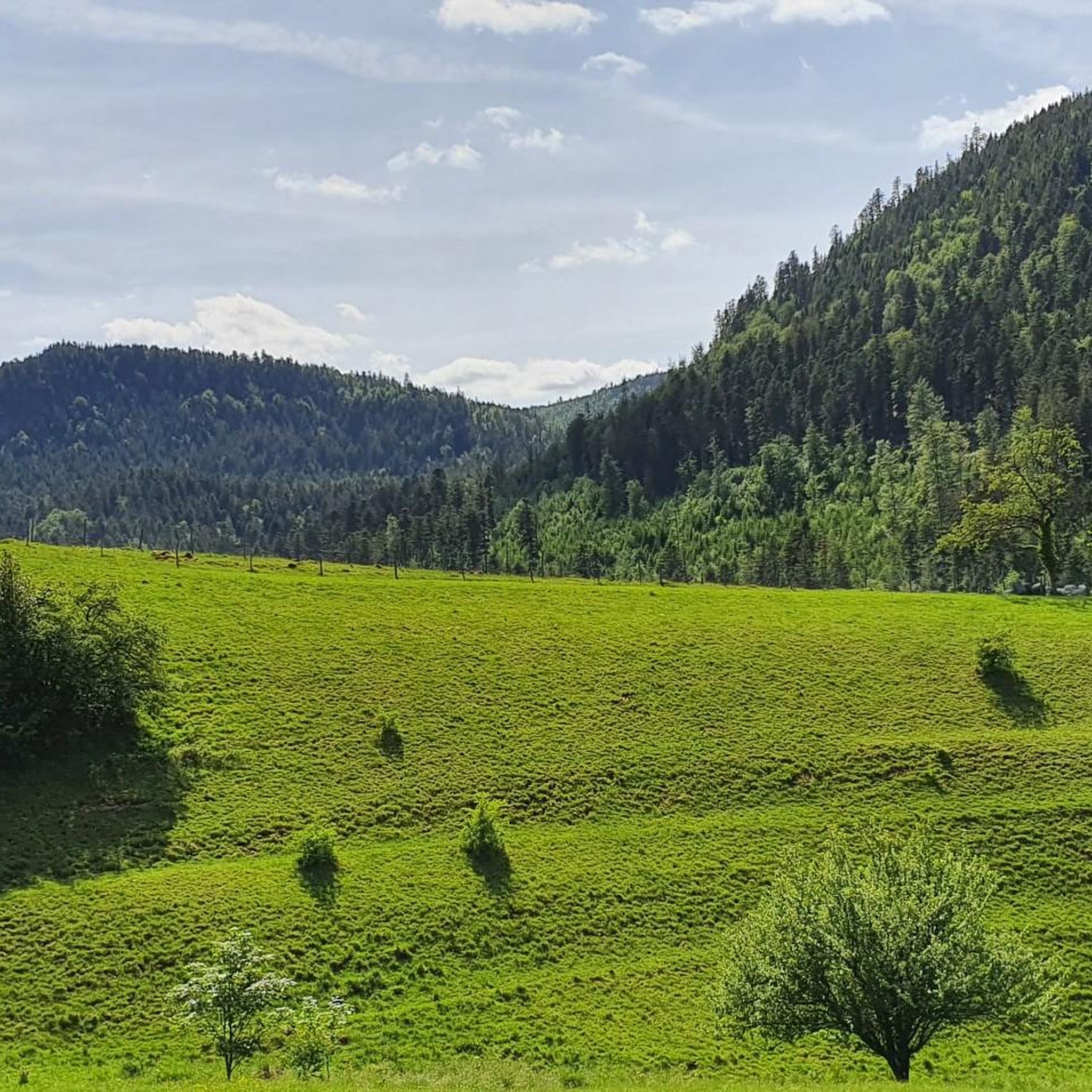
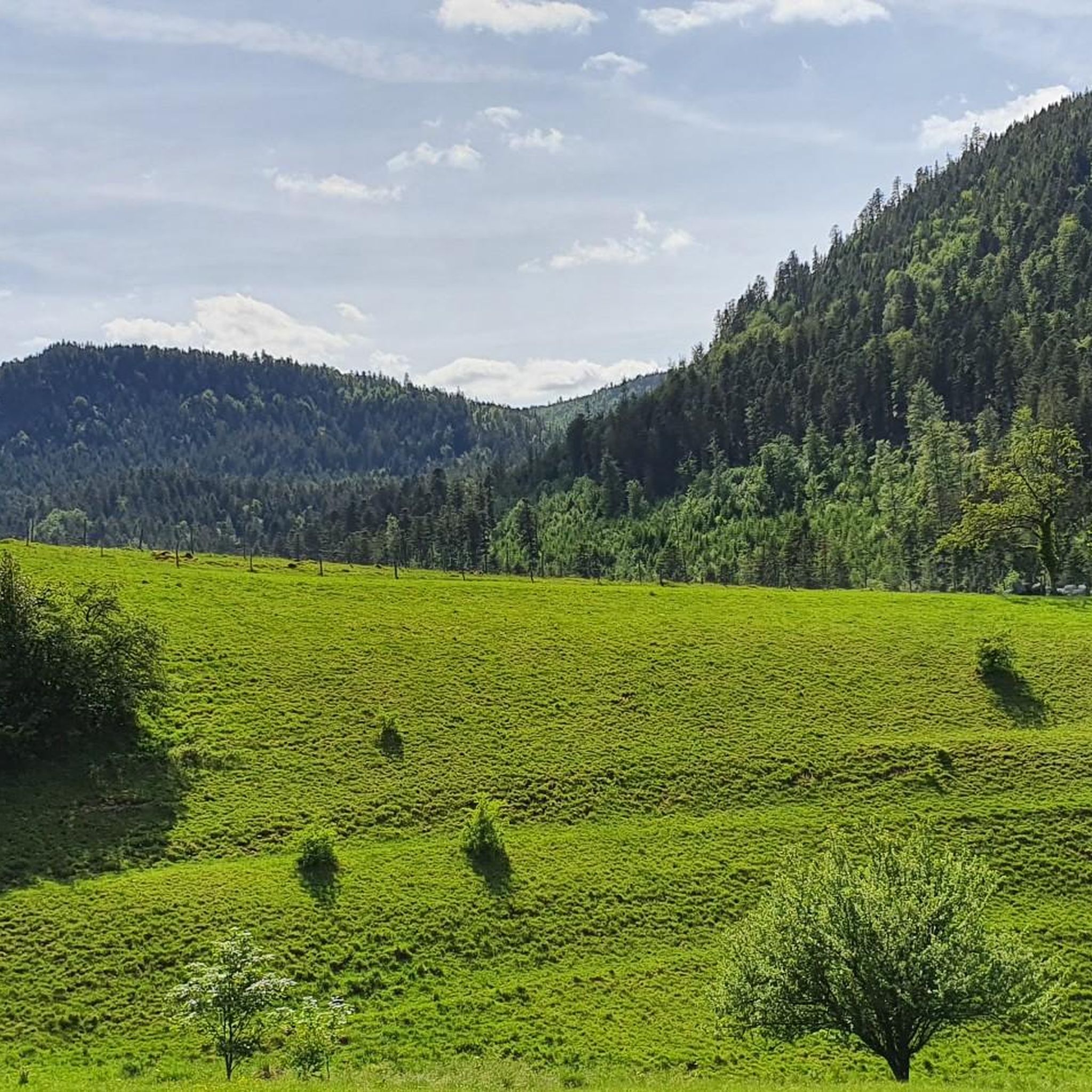
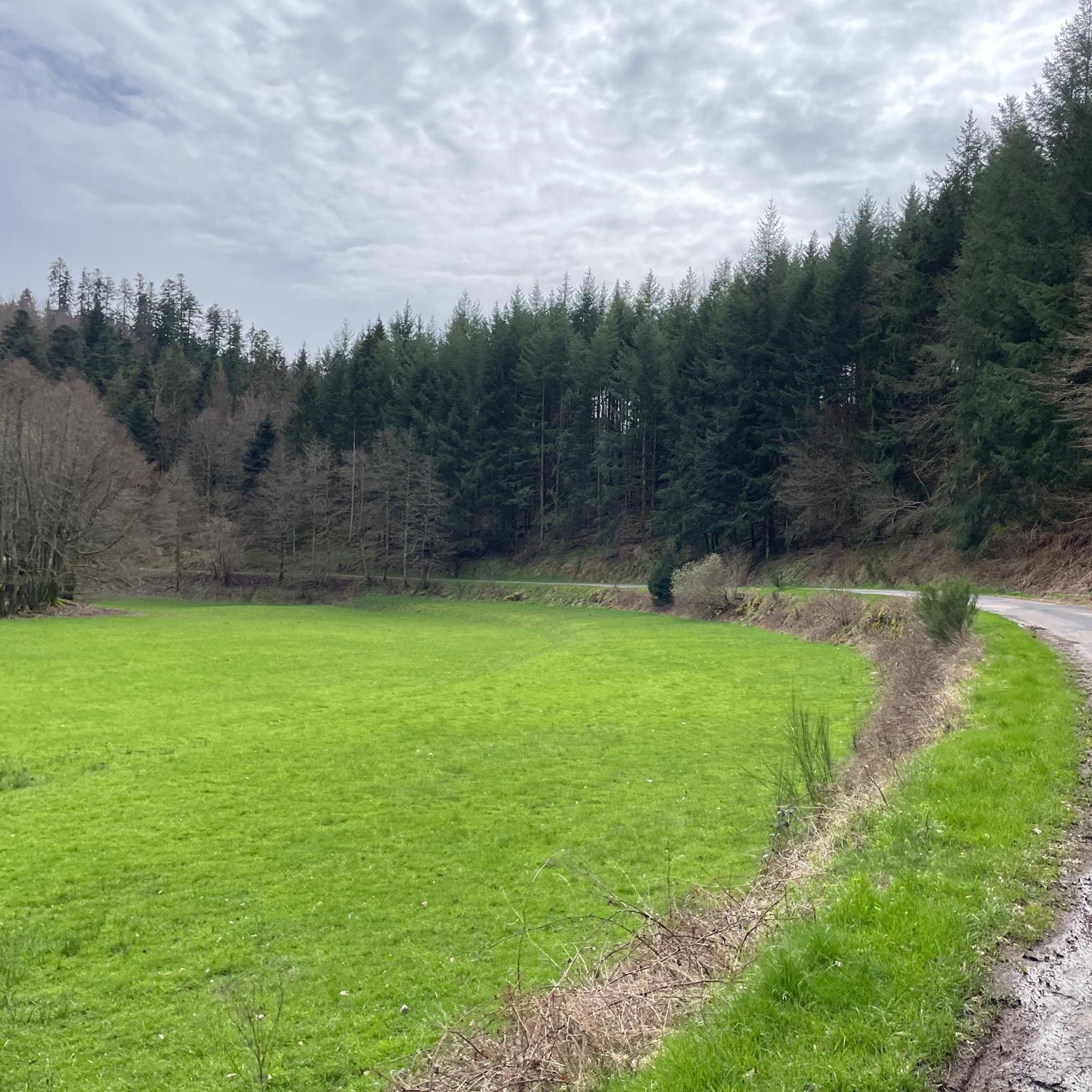
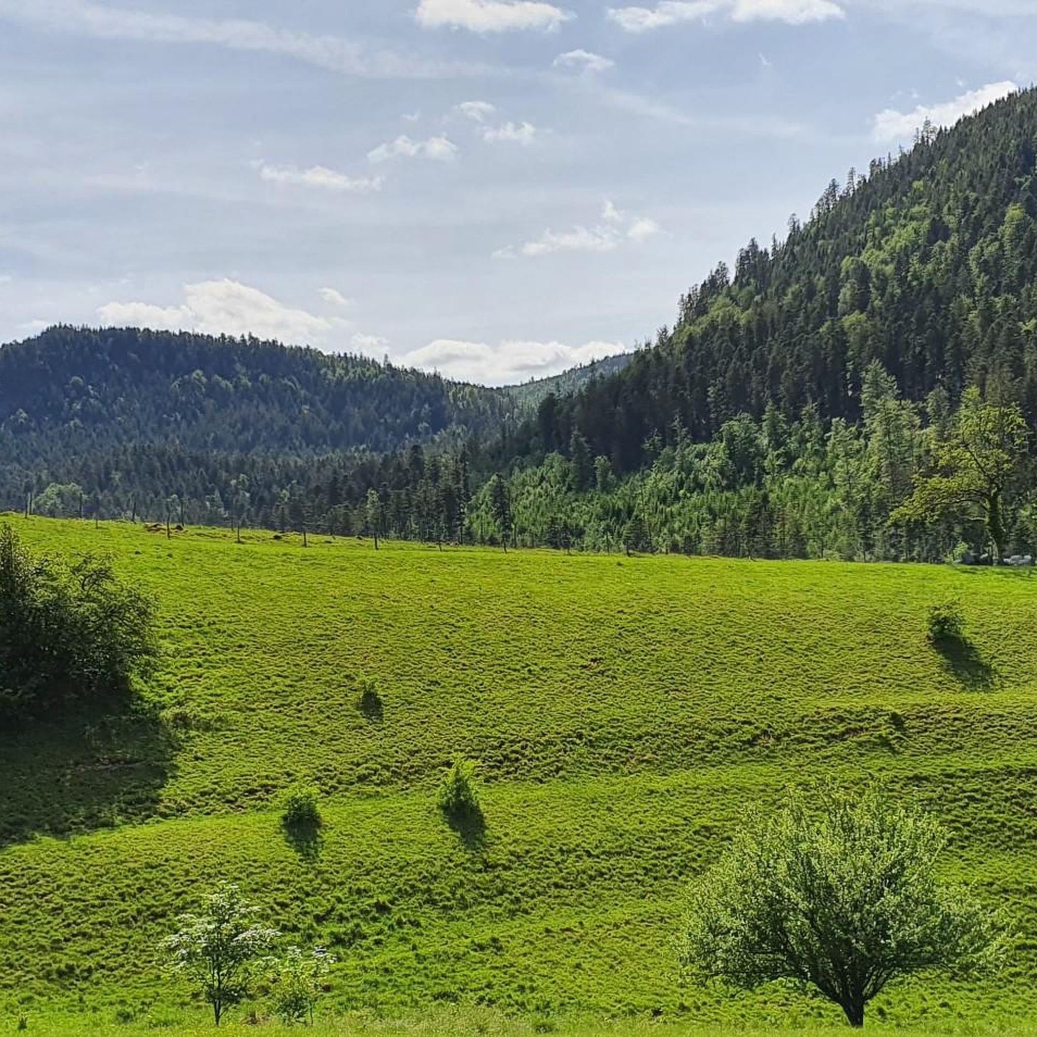
Best mountain passes around Vorbruck are situated in a mountainous region of Alsace, France, characterized by dense forests, valleys, and plateaus. This area offers a variety of terrain, from gentle meadows to more challenging ascents. The landscape includes numerous passes that connect different valleys and provide access to elevated viewpoints. The region's geography supports both cycling and hiking activities across its diverse elevations.
Best mountain passes around Vorbruck
- The most popular mountain passes is Champ du Feu, a summit…
Last updated: October 13, 2026
Champ du Feu
Highlight • Summit
Translated by Google •
Tip by

Charbonnière Pass
Highlight • Pub
Translated by Google •
Tip by

Sign up now to discover places like this
Get recommendations on the best single tracks, peaks, & plenty of other exciting outdoor places.
Schubert Stone and Shelter at Col Entre les Deux Donons
Highlight • Mountain Hut
Translated by Google •
Tip by

Kreuzweg Pass
Highlight • Mountain Pass
Translated by Google •
Tip by
Col de Steige
Highlight • Mountain Pass
Translated by Google •
Tip by
Sign up for free to discover even more mountain passes around Vorbruck.
Already have an account?
Start today with a free account
Your next adventure awaits.

Other adventures around Vorbruck

Tips from the Community

Can we camp here over night?
0
0


Magnificent pass to climb from different slopes (Breitenbach, Steige, Vallée de la Bruche, Andlau). It is also a crossing point towards the Champ du feu, the Hohwald, the Mont Ste Odile.
0
0

A crossroads with a shelter and a small parking lot. Also located here is the Schubert Stone, one of many memorial stones commemorating the military conflicts that took place here in 1914 and the soldiers who died as a result.
1
0

Near the cabin is a boundary marker of the estates of the Lordship of Salm. The original boundary marker is located at Schirmeck Castle.
2
0

Pass culminating at 960 m altitude.
0
0

If you come from the Col de la Charbonnière, it is only a few meters uphill again and then you have already reached the top of the pass.
1
0

Halfway between the charming hamlet of Hohwald and the Champ du Feu station, the Kreuzweg pass offers a pleasant stopover. In the middle of the imposing forest of the massif, it offers unobstructed views at an altitude of 768 meters. It is a good place to spend the night in the mountains with the presence of two farm inns. There is also an adventure park for the enjoyment of young people.
0
0
Frequently Asked Questions
Are there family-friendly mountain passes around Vorbruck?
Yes, several mountain passes in the Vorbruck region are suitable for families. For instance, the Charbonnière Pass is noted as family-friendly and offers amenities like a restaurant. Another option is the area around Schubert Stone and Shelter at Col Entre les Deux Donons, which provides a shelter, barbecue facilities, and is considered family-friendly.
What kind of outdoor activities can I do near the mountain passes around Vorbruck?
The Vorbruck region offers a variety of outdoor activities centered around its mountain passes. You can find numerous routes for cycling, gravel biking, and road cycling. For example, you can explore routes like 'Molsheim – Molsheim Old Town loop' for cycling, or 'Col de Steige – Salcée Pass loop' for gravel biking. For more detailed routes and guides, check out the Cycling around Vorbruck, Gravel biking around Vorbruck, and Road Cycling Routes around Vorbruck guides.
Which mountain passes offer the best viewpoints in the Vorbruck area?
For stunning vistas, Champ du Feu is highly recommended, offering panoramic views from its summit and a lookout tower. The Kreuzweg Pass also provides a beautiful view, especially after a climb. Additionally, the Charbonnière Pass and Schubert Stone and Shelter at Col Entre les Deux Donons are listed as viewpoints.
Are there any historical sites near the mountain passes?
Yes, the area around Schubert Stone and Shelter at Col Entre les Deux Donons is considered a historical site. It features a boundary marker of the Lordship of Salm, with the original marker located at Schirmeck Castle, offering a glimpse into the region's past.
What are some challenging mountain passes for experienced cyclists or hikers?
For those seeking a challenge, the Kreuzweg Pass is 13 km long with a total drop of 548 m and maximum gradients of 12%, making it a demanding ascent. While Champ du Feu is generally intermediate, the climb from Col du Steige is noted for its constant steepness, rewarding with a lookout tower at the top.
Where can I find cafes or restaurants near the mountain passes?
The Charbonnière Pass is an excellent spot, featuring an auberge with a frequently open and well-regarded restaurant. It's a popular meeting point, so making a reservation might be advisable, especially during peak hours.
What natural features can I expect to see around Vorbruck's mountain passes?
The region is characterized by dense forests and offers diverse terrain. At Champ du Feu, you'll find extensive forests and open meadows where cattle graze. The Col de Steige is known for its scenic location with a small lake nearby, adding to the natural beauty of the passes.
Are there any mountain passes with less traffic for a more peaceful experience?
The Col de Steige is specifically mentioned for having less traffic, offering a more tranquil experience for those looking to enjoy the scenery without much disturbance.
What do visitors enjoy most about the mountain passes around Vorbruck?
Visitors particularly appreciate the stunning panoramic views, dense forests, and the diverse terrain suitable for both cycling and hiking. The region's blend of natural beauty, challenging ascents, and family-friendly spots, along with amenities like those at Charbonnière Pass, contribute to a highly positive experience.
Are there any facilities like shelters or barbecue areas available at the passes?
Yes, at Schubert Stone and Shelter at Col Entre les Deux Donons, you'll find a great hut that offers shade and barbecue facilities, making it an ideal spot for a break or a picnic. It even has a small fireplace.
What is the best time to visit the mountain passes around Vorbruck?
The mountainous region of Alsace, where Vorbruck is located, is generally pleasant for outdoor activities from spring through autumn. During these seasons, the weather is typically mild, making it ideal for cycling, hiking, and enjoying the panoramic views and dense forests. While winter hiking is possible, specific conditions should be checked due to potential snow and ice.
Are there any intermediate mountain passes suitable for a moderate challenge?
Yes, Champ du Feu is categorized as an intermediate summit and mountain pass, offering a good balance of challenge and reward with its panoramic views. The Kreuzweg Pass is also an intermediate option, providing a scenic route through forests.
Most popular routes around Vorbruck
Most popular attractions around Vorbruck

Get inspired with the komoot mobile app


Explore more
See even more epic mountain passes by checking out these guides around Vorbruck:
