The best road cycling routes around Natzweiler
4.6
(118)
2,774
riders
83
rides
Road cycling routes around Natzweiler navigate the forested hills and mountain passes of the Vosges region. The area is characterized by its varied elevation, featuring numerous cols and passes that offer sustained climbs and descents. Dense woodlands and scenic valleys define much of the landscape, providing a diverse environment for road cyclists. The terrain includes both challenging ascents and more moderate sections, catering to different skill levels.
Best road cycling routes around Natzweiler
- The most popular road cycling route is…
Last updated: July 5, 2026
4.6
(5)
169
riders
64.5km
02:56
610m
610m
Moderate road ride. Good fitness required. Mostly well-paved surfaces and easy to ride.
4.8
(4)
121
riders
76.9km
04:03
1,250m
1,250m
Hard road ride. Very good fitness required. Mostly well-paved surfaces and easy to ride.

Sign up for free
5.0
(3)
87
riders
52.2km
02:55
1,010m
1,010m
Hard road ride. Very good fitness required. Mostly well-paved surfaces and easy to ride.
4.0
(2)
20
riders
62.9km
03:08
920m
920m
Hard road ride. Very good fitness required. Mostly well-paved surfaces and easy to ride.
11
riders
46.2km
02:52
1,080m
1,080m
Hard road ride. Very good fitness required. Some segments of this route may be unpaved and difficult to ride.
Get access to more routes and recommendations from other explorers.
Sign up for free
Already have an account?
Our route recommendations are based on thousands of hikes, rides, and runs completed by other people on komoot.
Start today with a free account
Your next adventure awaits.
Login or Signup

Tips from the Community

The Champ du Feu, at 1099 meters, is the highest mountain in the Bas-Rhin department in the Vosges in Alsace. It is located between the towns of Belmont and Le Hohwald and consists of a vast plateau with forests, meadows, and moorlands. The area is a popular nature and recreational area. In summer, it is mainly used for hiking, mountain biking, and nature observation. In winter, there is a small ski area with cross-country trails and simple slopes for winter sports. From the Champ du Feu, the La Serva stream originates, which later forms the Cascade de la Serva. In clear weather, the summit offers wide views over the Vosges, the Rhine plain, and even the Black Forest. The area is particularly known for its quiet nature, high moors, sunrises and starry skies, as well as well-marked hiking trails.
0
0

Beautiful route, pleasant but lots of bikers...
0
0


Beautiful hiking destination, there is also a cycling route
0
0

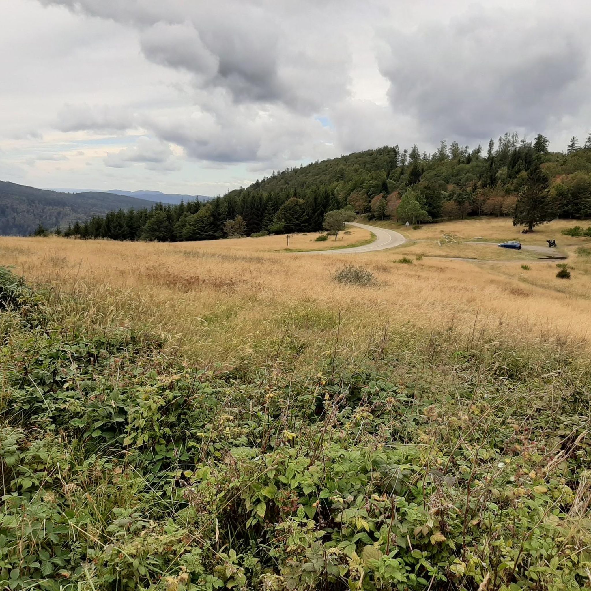
A long and beautiful forest road. However, it's bumpy in places on a road bike!
0
0

Beautiful climb and lovely view at the pass - Altitude 728m Restaurants (inns) at the pass
0
0

The climb begins at the exit of the village of Russ with a very easy slope to tackle. A first flat area appears before the road rises again at Schwarzbach. It is then off for 3.4 km on a beautiful shaded road. The reward is discovered at the summit when you arrive in the beautiful village of Grandelbruch. For the more courageous, it is possible to continue with the climb of Hobhul (to be taken at the town hall) for a total climb of 10.5 km / 480 D+ (starting from the exit of Russ).
0
0

A truly great forest road through a beautiful forest, a bit bumpy in places (April 2025), but good for rolling (towards Mossey) or leisurely climbing (towards Mt Donon). It was fun!
1
0
Frequently Asked Questions
How many road cycling routes are available around Natzweiler?
There are over 80 road cycling routes around Natzweiler, offering a wide range of options for different skill levels. The komoot community has explored these routes over 2,900 times.
What is the overall difficulty level of road cycling in Natzweiler?
The road cycling routes in Natzweiler are predominantly moderate to difficult, reflecting the mountainous terrain of the Vosges region. There are 38 moderate routes and 42 difficult routes, with a smaller selection of 6 easy routes available.
Are there easy road cycling routes suitable for beginners in Natzweiler?
While the region is known for its challenging mountain passes, there are a few easier road cycling routes available. These routes typically feature less elevation gain and shorter distances, making them more suitable for beginners or those looking for a less strenuous ride.
Where can I find challenging road cycling routes with significant climbs near Natzweiler?
Natzweiler is ideal for challenging road cycling, with numerous routes featuring extensive climbs through the Vosges mountains. For a demanding ride, consider the Urbeis Pass – Col de Steige loop from Rothau, which traverses multiple passes and covers nearly 48 miles with over 1,200 meters of elevation gain.
Are there any circular road cycling routes in Natzweiler?
Yes, many of the road cycling routes around Natzweiler are designed as loops, allowing you to start and finish at the same point. An example is the Porte de Boersch – Col de Grendelbruch loop from Rothau, a moderate 40-mile route with a significant climb.
What is the best season for road cycling around Natzweiler?
The best season for road cycling in Natzweiler is typically from late spring to early autumn (May to October). During these months, the weather is generally milder, and mountain passes are clear of snow, offering optimal conditions for riding. Always check local weather forecasts before heading out.
What kind of scenery can I expect on road cycling routes near Natzweiler?
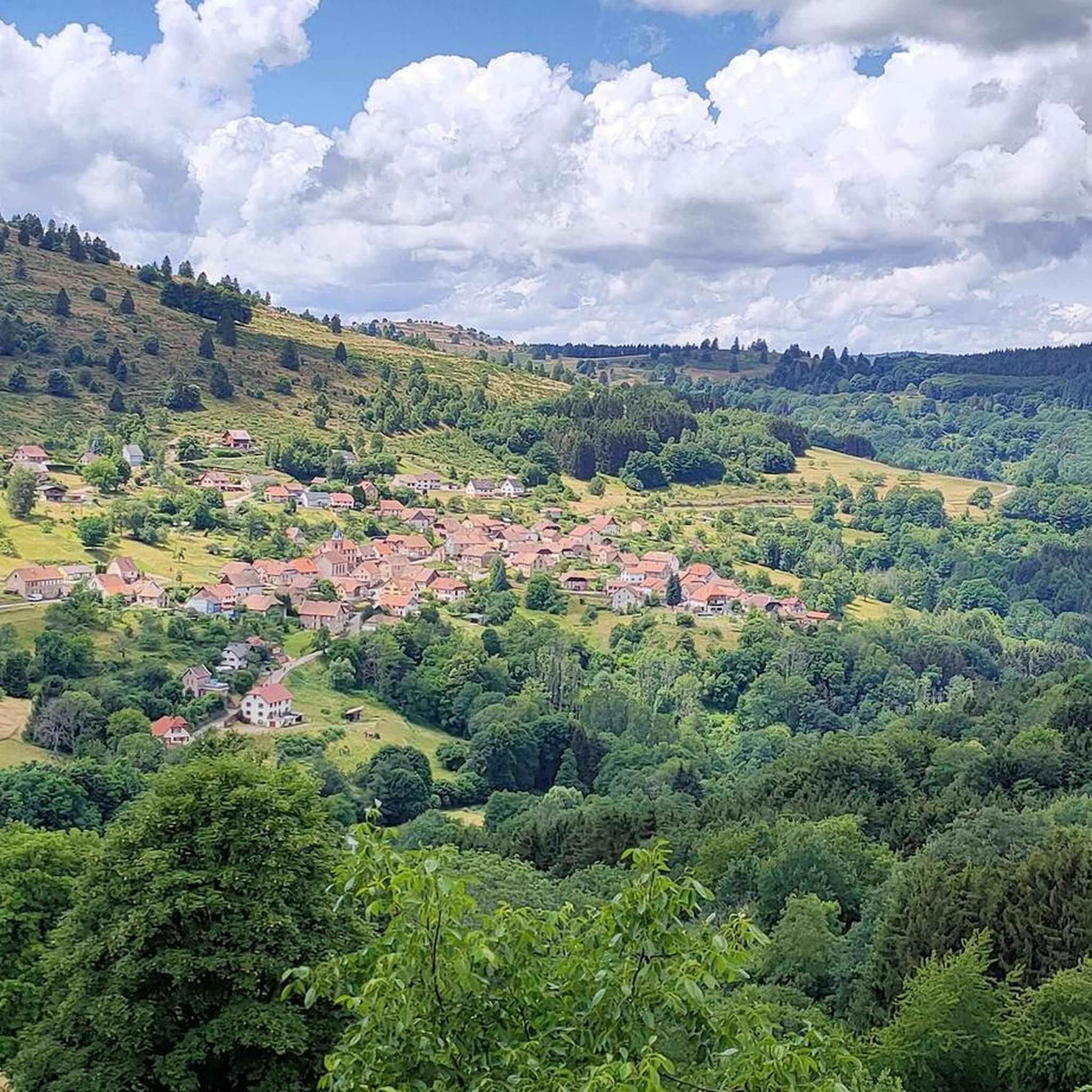
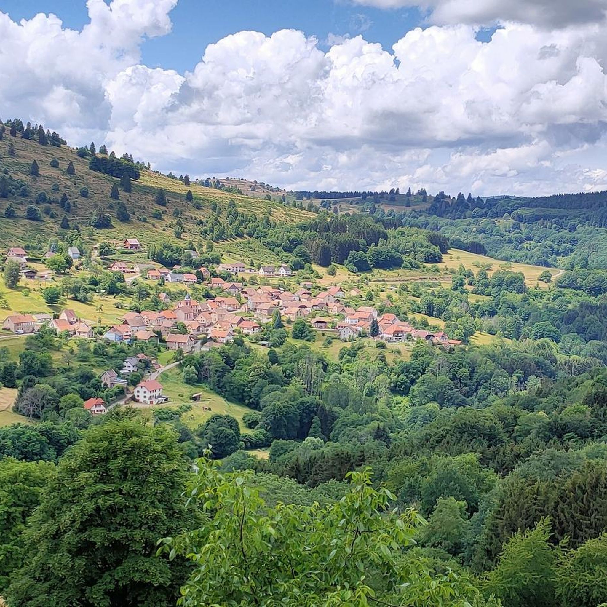
Road cycling routes near Natzweiler offer diverse scenery, characterized by dense woodlands, scenic valleys, and panoramic views from mountain passes. You'll experience the natural beauty of the Vosges region, with varied elevation providing constantly changing vistas.
Are there scenic viewpoints along the road cycling routes in Natzweiler?
Yes, the mountainous terrain around Natzweiler provides many opportunities for scenic viewpoints. Routes often pass by or near prominent peaks and passes such as Champ du Feu or Col de Steige, offering expansive views of the surrounding Vosges landscape.
What interesting landmarks or attractions can I explore near the road cycling routes?
Beyond the cycling itself, you can explore several interesting landmarks. Notable mountain passes like Kreuzweg Pass are often part of routes. You might also encounter historical sites or natural features such as Donon Temple or the summit of Le Petit Donon.
What do other road cyclists say about the routes in Natzweiler?
The road cycling routes in Natzweiler are highly rated by the komoot community, with an average score of 4.6 stars from over 100 reviews. Cyclists often praise the challenging mountain passes, the beauty of the dense forests, and the variety of terrain that caters to different abilities.
Are there any routes that feature lakes or water bodies?
Yes, some routes incorporate scenic water features. For example, the difficult Lake La Plaine – Col du Donon loop from Rothau includes views of Lake La Plaine as part of its extensive 54-mile journey through the mountains.
Are there any less-trafficked or 'hidden gem' road cycling routes?
While specific 'hidden gems' are often discovered by local exploration, routes like the Hantz Pass – Prayé Forest Road loop from Rothau offer a ride through forested mountain roads, providing a sense of immersion in nature away from busier areas. These routes often provide a quieter cycling experience.
Most popular attractions around Natzweiler

Get inspired with the komoot mobile app


Explore more
Browse the best Road cycling routes in other regions.
