The best walks and hikes around Sulzbach
4.5
(9333)
42,135
hikers
12
hikes
Hiking around Sulzbach offers diverse landscapes, characterized by dense woodlands, picturesque river valleys, and unique geological formations. The region features varied terrain, from limestone cliffs and extensive forests in the Bavarian Jura to riverine paths along the Main and Nidda rivers. Hikers can explore rolling hills, karst landscapes, and areas at the foot of the Taunus Mountains or the Swabian-Franconian Forest. These physical features provide a rich experience for nature enthusiasts across different Sulzbach locations.
Best hiking trails around Sulzbach
…Last updated: July 9, 2026
4.5
(2)
30
hikers
14.8km
05:12
790m
780m
Hard hike. Very good fitness required. Mostly accessible paths. Sure-footedness required.
4.5
(4)
11
hikers
5.81km
02:13
420m
420m
Moderate hike. Good fitness required. Easily-accessible paths. Suitable for all skill levels.

Sign up for free
5.0
(1)
11
hikers
12.3km
04:07
550m
550m
Moderate hike. Good fitness required. Mostly accessible paths. Sure-footedness required.
5.0
(4)
8
hikers
16.7km
05:23
690m
680m
Hard hike. Very good fitness required. Mostly accessible paths. Sure-footedness required.
5.0
(1)
7
hikers
7.90km
02:12
150m
150m
Moderate hike. Good fitness required. Easily-accessible paths. Suitable for all skill levels.
Get access to more routes and recommendations from other explorers.
Sign up for free
Already have an account?
Our route recommendations are based on thousands of hikes, rides, and runs completed by other people on komoot.
Start today with a free account
Your next adventure awaits.
Login or Signup
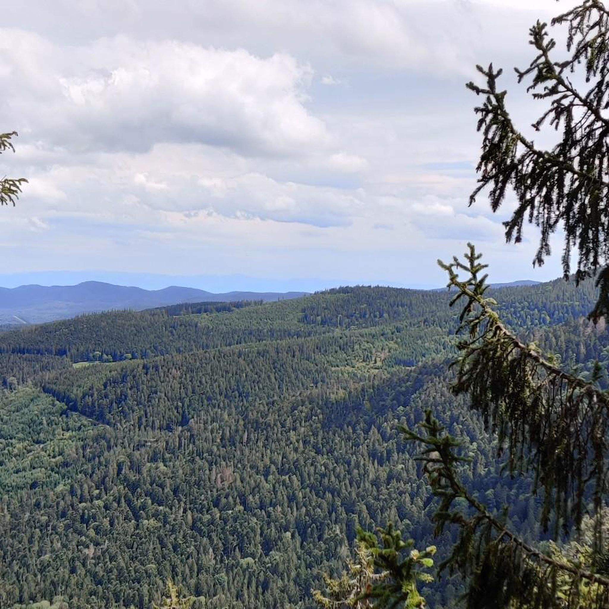
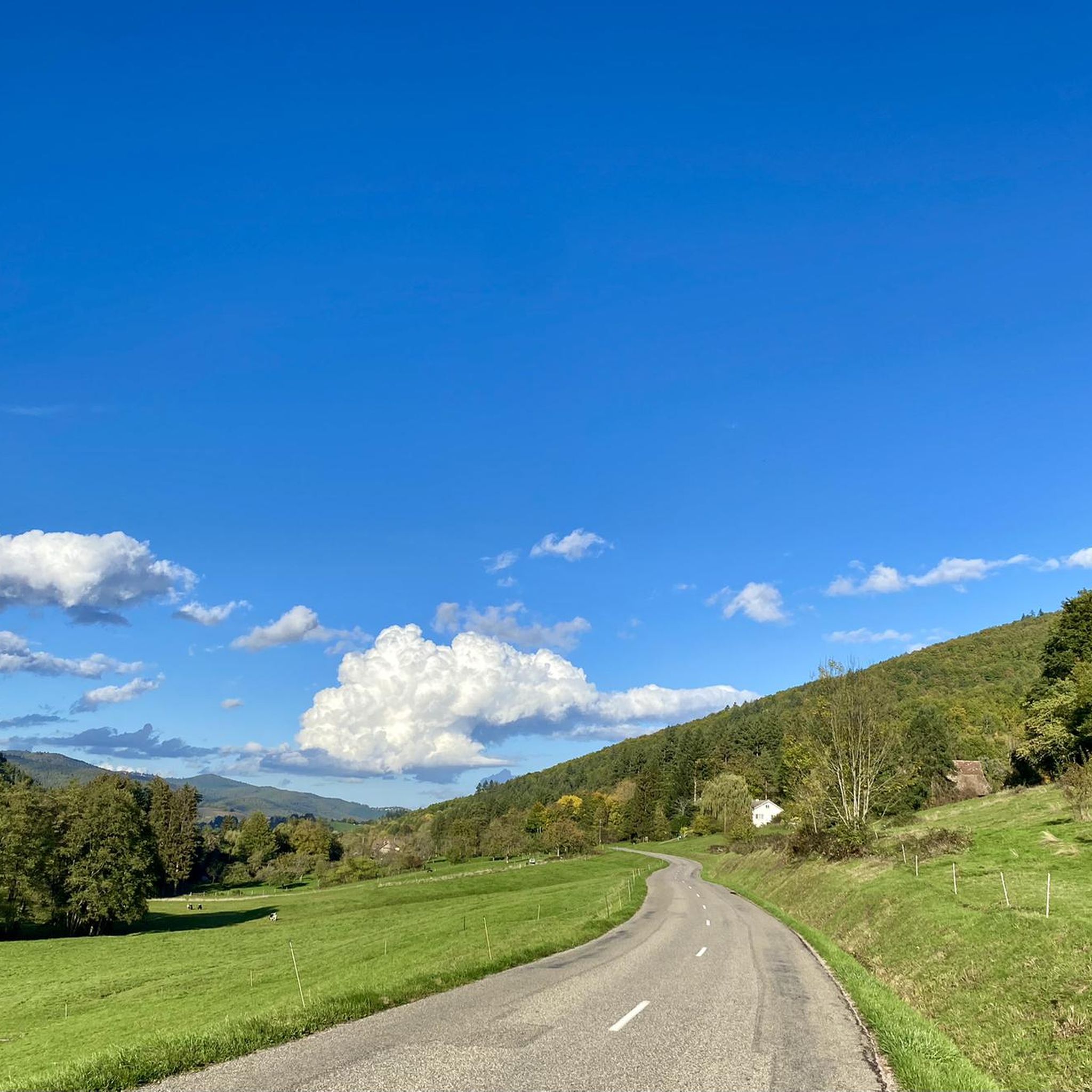
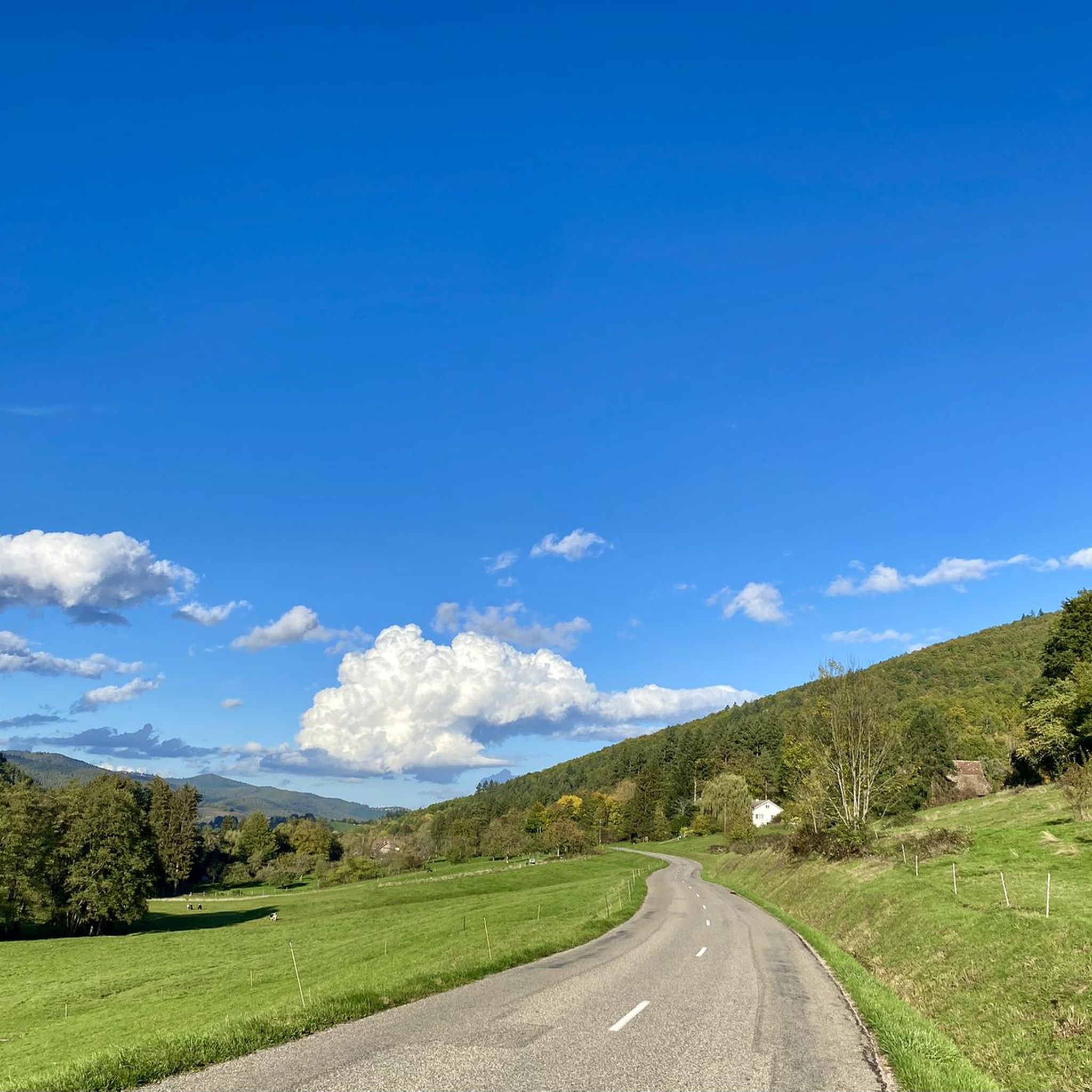
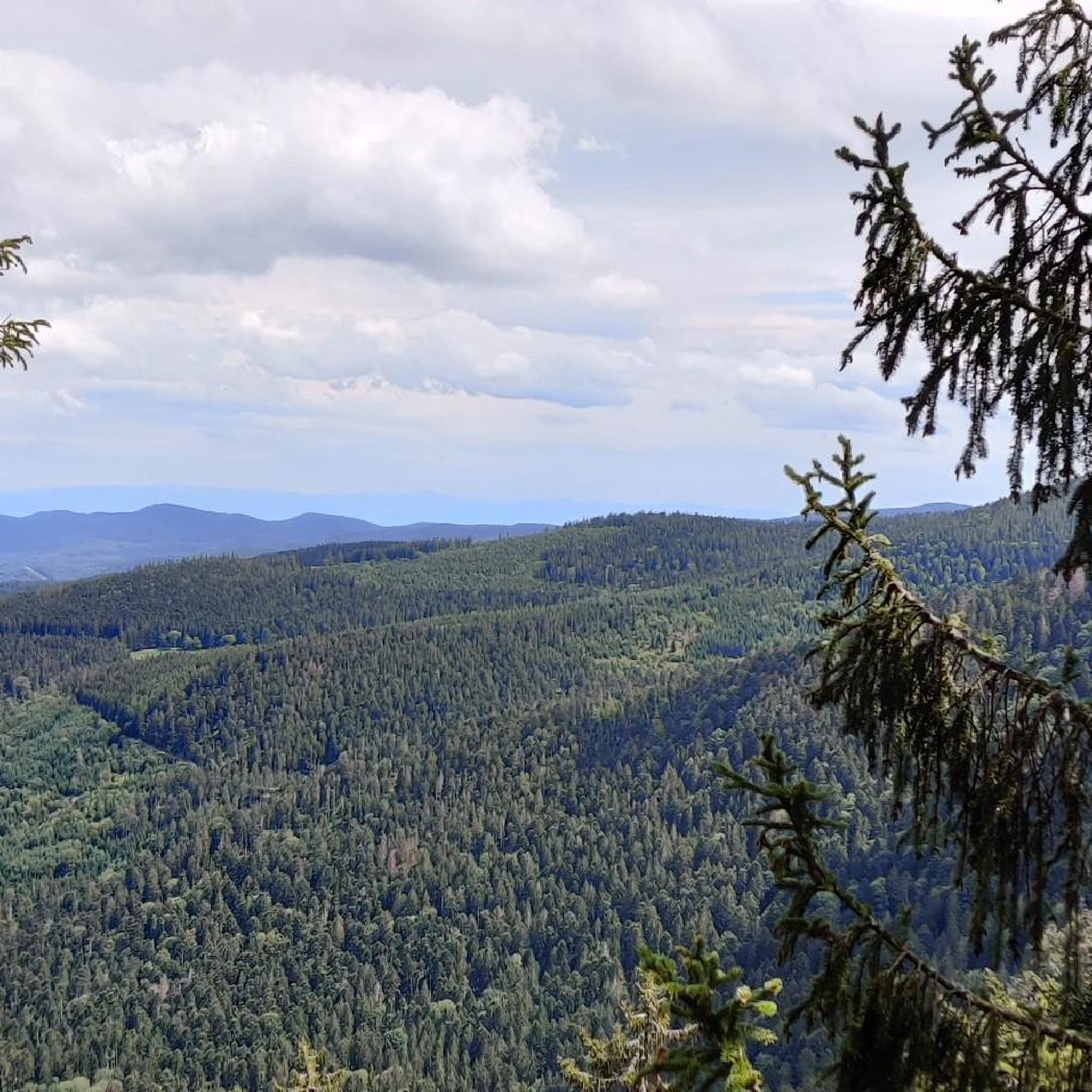

Tips from the Community

In Soultzbach les Bains, on Rue de Munster, there is a drinking water fountain in front of a light yellow half-timbered house with a front garden.
0
0

From Wihr to Val, approximately 7.3 km at 5.7% average, with the central portion at ~7%.
1
0

Soultzbach-les-Bains is a commune in the Haut-Rhin department of France and has 602 inhabitants (1999). Source Wikipedia
1
0

Very nice site to do by mountain bike very nice paths take us there
0
0

Beautiful pass from the Munstertal towards Eguisheim. Hardly any traffic and moderate gradients with great views
2
0

Panoramic views to western main range of the vosges (route des grands Ballons)
1
0

Crossroads of paths leading to the valley of Munster, the val Saint Georges, osenbuhr or the castle of schrankenfels
2
0
Crossroads of many paths that lead either to osenbuhr, the yellow terminal, firstplan, the castle of schrankenfels or even osenbach.
1
0
Frequently Asked Questions
How many hiking trails are available around Sulzbach?
There are over 1,000 hiking routes available around Sulzbach, offering a wide variety of experiences. The komoot community has mapped 1,068 tours in the area, ensuring plenty of options for every preference.
What is the best time of year to go hiking in Sulzbach?
The best seasons for hiking in Sulzbach are generally spring and autumn. In spring, the landscapes are in bloom, offering fresh greenery and pleasant temperatures. Autumn provides vibrant fall foliage and comfortable weather, making it ideal for exploring the diverse terrain.
What are the general characteristics of the hiking terrain in Sulzbach?
Hiking around Sulzbach is characterized by dense woodlands, picturesque river valleys, and unique geological formations. You'll find varied terrain, from limestone cliffs and extensive forests to riverine paths. The region offers a rich experience for nature enthusiasts, with options ranging from rolling hills to more rugged areas.
What do other hikers say about the trails in Sulzbach?
The hiking trails in Sulzbach are highly rated by the komoot community, with an average score of 4.6 stars from over 8,000 reviews. Hikers often praise the diverse landscapes, the well-maintained paths, and the variety of routes suitable for different fitness levels.
Are there hiking trails suitable for beginners or families in Sulzbach?
Yes, Sulzbach offers numerous easy hiking trails perfect for beginners or families. With 424 easy routes available, you can find gentle paths through forests or along riverbanks. An example of an easier route is the Terrasse Napoléon – The tree eats plate loop from Griesbach-au-Val, which is 3.9 miles (6.3 km) long and leads through varied landscapes.
Are there challenging hikes for experienced trekkers in Sulzbach?
Absolutely. For experienced trekkers, Sulzbach provides 91 difficult routes that offer more demanding ascents and longer distances. A challenging option is the Trail to the Wolfsgrube – Wolfsgrube Pass loop from Soultzbach-les-Bains, which covers 14.8 km with significant elevation gain, or the Wihr Cross – Obschel Inn loop from Wihr-au-Val - Soultzbach, a demanding 18.1 km trail.
Are there any circular hiking routes in Sulzbach?
Many of the hiking routes in Sulzbach are designed as convenient loops, allowing you to start and end at the same point. For example, the Haneck Castle loop from Wihr-au-Val - Soultzbach is a popular moderate circular trail exploring historical sites.
What kind of landmarks or attractions can I see along the hiking trails?
Hiking trails around Sulzbach often lead to interesting landmarks and natural features. You might encounter historical sites like French military cemetery at Col du Wettstein or the Galtz Monument. The region also features impressive mountain passes such as Petit Ballon Pass (1,163 m) and Firstplan Pass, offering scenic views.
Are there any trails with panoramic viewpoints in Sulzbach?
Yes, several trails in Sulzbach offer breathtaking panoramic views. The View of Walbach and Colmar – Historic gateway to Wihr-au-Val loop from Wihr-au-Val provides scenic vistas of Walbach and Colmar. Depending on the specific Sulzbach location, you might find trails leading to elevated points like the Hohenberg mountain or the Altkönig, which offer expansive views of river valleys or even city skylines.
Is it possible to combine hiking with cultural experiences in Sulzbach?
Yes, many areas around Sulzbach blend nature with cultural experiences. Some trails pass through historic towns with half-timbered houses or lead to pilgrimage churches. For instance, the Haneck Castle loop from Wihr-au-Val - Soultzbach explores historical sites, allowing you to enjoy both natural beauty and local heritage.
Are there options for mountain biking or other outdoor activities near Sulzbach?
Beyond hiking, the Sulzbach region also caters to other outdoor activities. There are several bike parks and mountain biking trails available. You can explore highlights like the Plaine de Rouffach Flowtrail or the Singletrack Trail in the Forest, offering diverse terrain for cyclists.
Most popular routes around Sulzbach
Most popular attractions around Sulzbach

Get inspired with the komoot mobile app


Explore more
Browse the best Hikes in other regions.
