The best road cycling routes around Bachenberg
4.6
(320)
2,073
riders
181
rides
Road cycling routes around Bachenberg traverse a landscape characterized by river valleys, such as those of the Sieg and Wied, and include sections through forested areas like the Stromberg Oak Grove. The terrain features rolling hills with varying elevation gains, offering diverse cycling experiences. Routes often connect small towns and rural areas, providing a mix of natural scenery and local points of interest.
Best road cycling routes around Bachenberg
- The most popular road cycling route is Dattenfeld Weir on the…
Last updated: July 5, 2026
4.7
(3)
25
riders
76.9km
03:36
830m
830m
Moderate road ride. Good fitness required. Some segments of this route may be unpaved and difficult to ride.
4.6
(17)
23
riders
39.9km
01:50
380m
380m
Moderate road ride. Good fitness required. Mostly well-paved surfaces and easy to ride.

Sign up for free
4.5
(4)
23
riders
38.9km
01:47
380m
380m
Moderate road ride. Good fitness required. Mostly well-paved surfaces and easy to ride.
5.0
(2)
9
riders
39.3km
01:56
500m
500m
Moderate road ride. Good fitness required. Some segments of this route may be unpaved and difficult to ride.
3.0
(2)
5
riders
27.3km
01:22
270m
270m
Moderate road ride. Great for any fitness level. Some segments of this route may be unpaved and difficult to ride.
Get access to more routes and recommendations from other explorers.
Sign up for free
Already have an account?
Our route recommendations are based on thousands of hikes, rides, and runs completed by other people on komoot.
Start today with a free account
Your next adventure awaits.
Login or Signup
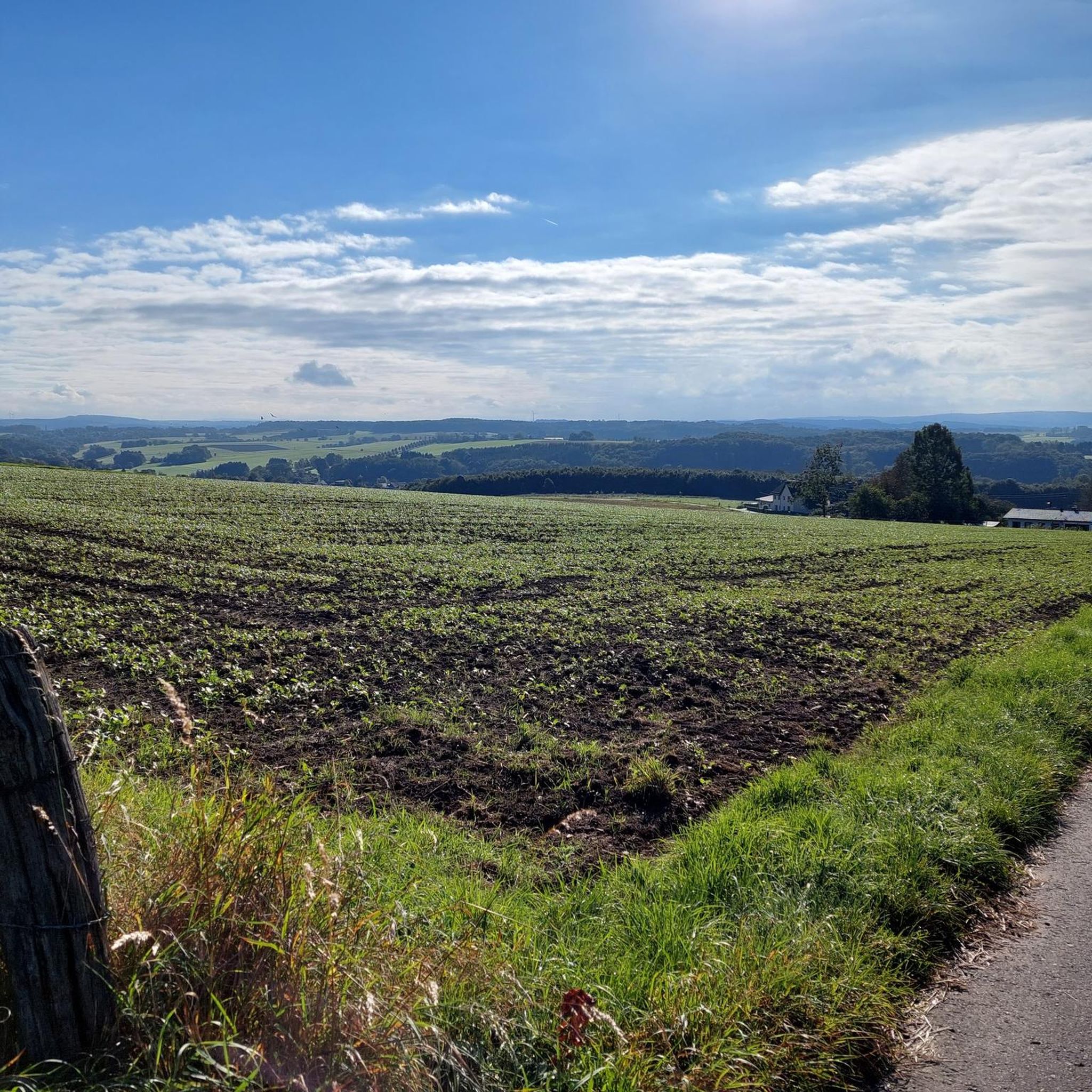
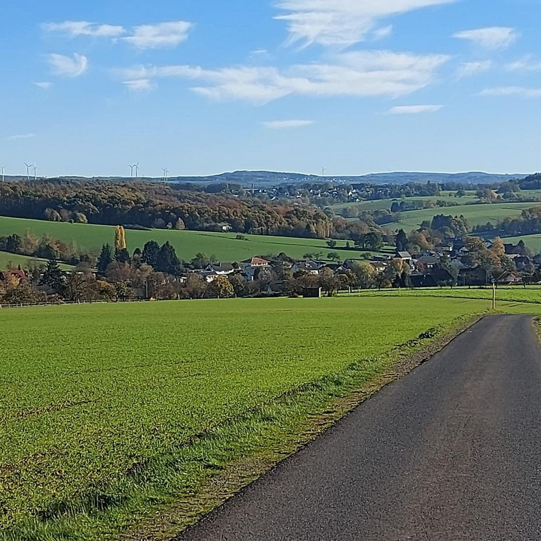
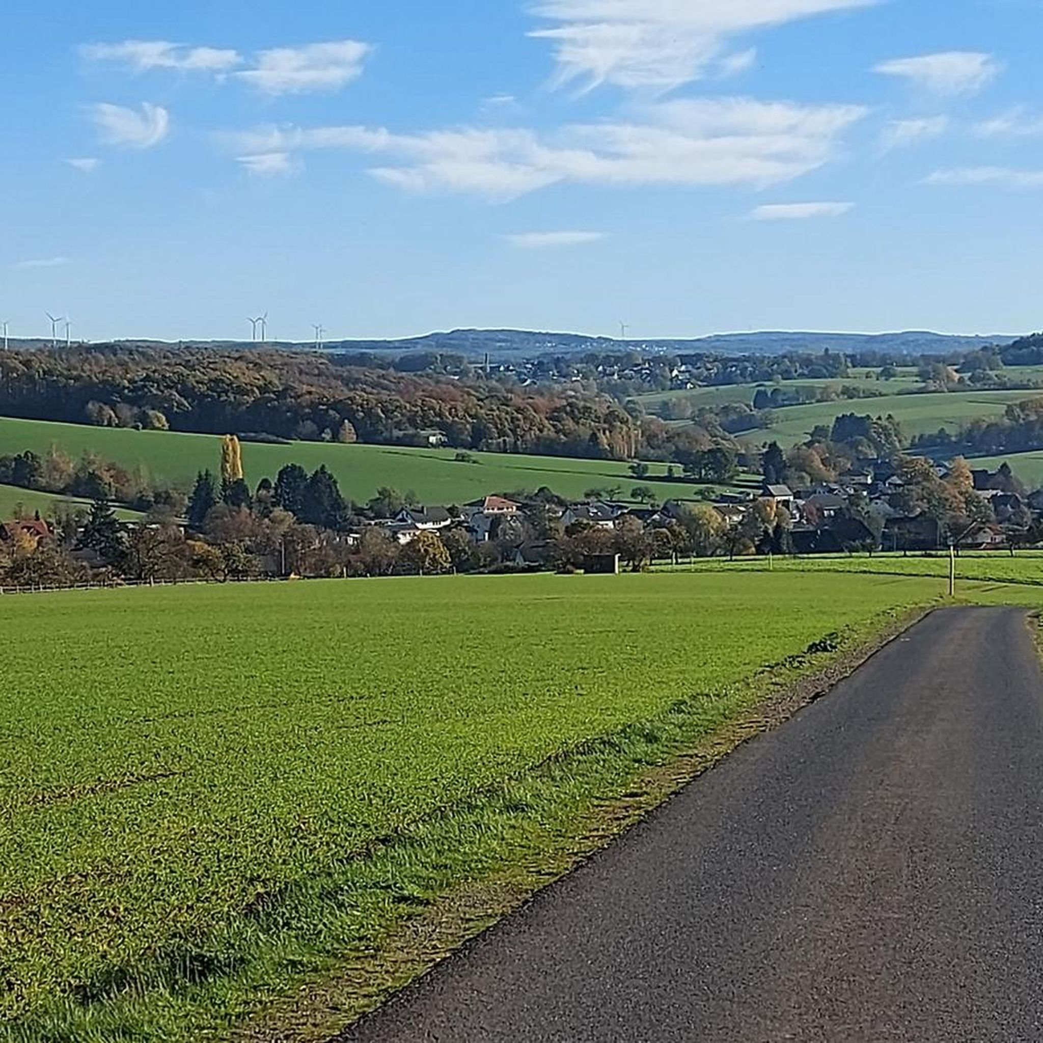
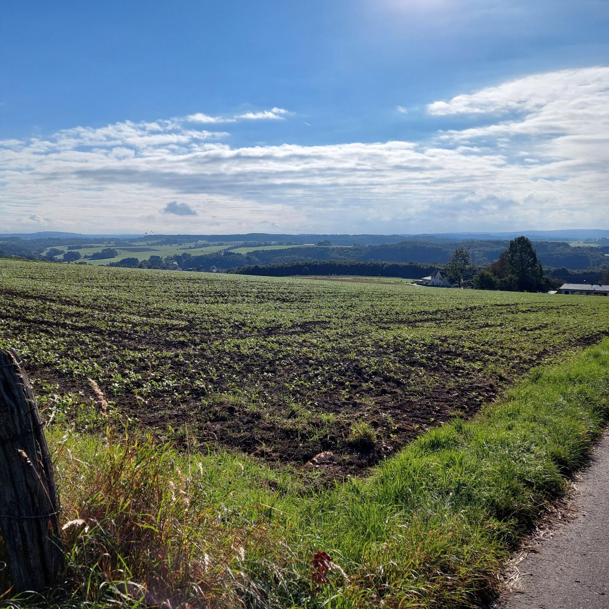
Tips from the Community

There used to be infrastructure there; it would be nice if it were still there.
0
0

A busy Sieg crossing on the L333. Watch out for traffic. In the curve is the Hotel & Gasthof Schützenhof, with a lovely terrace and good, home-style food. At the corner opposite, take the dreamy Bitzer Straße (road bike path) and climb to Käsberg/Obenroth, bypassing the Eitorf town center and then into the Mühleiper Valley. Perfect asphalt. On the Scheel Sick (Halfter side), after 50 meters towards Herchen, there's a connection to the Siegradweg on the right. For those who like a more challenging ride, cross the paved road here and take a gentle climb up to Richardshohn. Or turn left to cross into the perfectly paved Ottersbacher Valley to the Bröltal. Or use the Scheel Sick to roll via Lützgenauel to Merten.
1
0
Stromberg's idyllic oak grove, several hundred years old, is a natural monument, canoe landing, swimming area, and a bridge with a view of the Swan's Nest. It was the scene of a skirmish between Napoleonic soldiers and local freedom fighters. Climbing the Sieghöhe hill, you'll reach the ring wall from the time of Franconian expansion. A paved cycle and pedestrian path runs through the center. Bells are provided for the often large number of visitors. Beautiful benches provide rest.
0
0
An idyllic Siegauen section of the Siegradweg between Hoppengarten and Dattenfeld, no bridge, no railway. It's a good alternative to the two long straight stretches of the L333 (the speed limit is often 70 km/h there 😁) before Dattenfeld. A bell on the bike for pedestrian information is a good idea.
0
0

Mainly motorcyclists on the road
0
0
Pharmacy is unfortunately closed.
0
0
Pharmacy is now closed.
0
0

The Privileged Pharmacy, built in 1730, is located in the pedestrian zone. It is well preserved and an eye-catcher. The first pharmacy was founded in Altenkirchen in 1699 and has stood in the same place ever since.
0
0
Frequently Asked Questions
How many road cycling routes are available around Bachenberg?
There are over 180 road cycling routes documented around Bachenberg, offering a wide range of options for different skill levels and preferences.
What are the typical difficulty levels for road cycling routes in Bachenberg?
The routes around Bachenberg cater to various abilities. You'll find 14 easy routes, 145 moderate routes, and 28 more challenging routes with significant elevation gain, ensuring there's something for every cyclist.
What kind of terrain defines road cycling around Bachenberg?
Road cycling routes around Bachenberg are characterized by river valleys, such as those of the Sieg and Wied, and include sections through forested areas like the Stromberg Oak Grove. The terrain features rolling hills with varying elevation gains, providing diverse cycling experiences.
Are there any notable natural features or landmarks to see while road cycling in Bachenberg?
Yes, the region offers several natural attractions. You can find beautiful waterfalls like the Sieg Waterfall (Siegfall) and Schladern Waterfall. Additionally, there are impressive gorges such as the Limbach Gorge (Little Nister Gorge), which can be explored on or near some routes.
Are there any viewpoints along the road cycling routes in Bachenberg?
While specific viewpoints directly on every route are not detailed, the varied terrain with rolling hills and river valleys often provides scenic vistas. For a dedicated viewpoint, consider visiting the Viewpoint of Siegwasserfall, which offers a great perspective of the Sieg Waterfall.
What do other road cyclists say about the routes in Bachenberg?
The road cycling routes in Bachenberg are highly regarded by the komoot community, with an average rating of 4.7 stars from over 300 reviews. Cyclists often praise the mix of natural scenery, quiet roads, and the variety of terrain that caters to different fitness levels.
Are there any circular road cycling routes available?
Yes, many routes around Bachenberg are designed as loops. An example is the Road to Hanwerth – Wied Bridge near Almersbach loop from Obererbach, which offers a moderate 39.9 km ride through the local landscape.
Can I find routes with significant elevation gain for a challenging ride?
Absolutely. While many routes feature rolling hills, there are 28 routes specifically categorized as difficult, indicating they include significant elevation gain for those seeking a more challenging road cycling experience.
Are there any routes that pass through small towns or historical sites?
Yes, many routes connect small towns and rural areas, offering a mix of natural scenery and local points of interest. For instance, the Raiffeisen House Flammersfeld – Seifen Train Station loop from Obererbach leads through small towns and past historical sites.
What is a good moderate-difficulty route for road cycling in Bachenberg?
A popular moderate option is the Church in Almersbach – Obererbach loop from Obererbach. This 39.9 km path winds through rural landscapes and past local landmarks, making it a great choice for a balanced ride.
Are there longer road cycling routes available for endurance training?
For longer rides, consider routes like the Dattenfeld Weir on the Sieg – Stromberg Oak Grove loop from Obererbach. This route spans 76.7 km and follows the Sieg river, passing through the Stromberg Oak Grove, ideal for those looking for extended distances.
What kind of natural areas do the road cycling routes traverse?
The routes often take you through diverse natural settings, including river valleys of the Sieg and Wied, and forested areas such as the Stromberg Oak Grove. These provide a scenic backdrop to your ride.
Most popular attractions around Bachenberg

Get inspired with the komoot mobile app


Explore more
Browse the best Road cycling routes in other regions.
