The best walks and hikes around Cuinzier
4.5
(74)
403
hikers
98
hikes
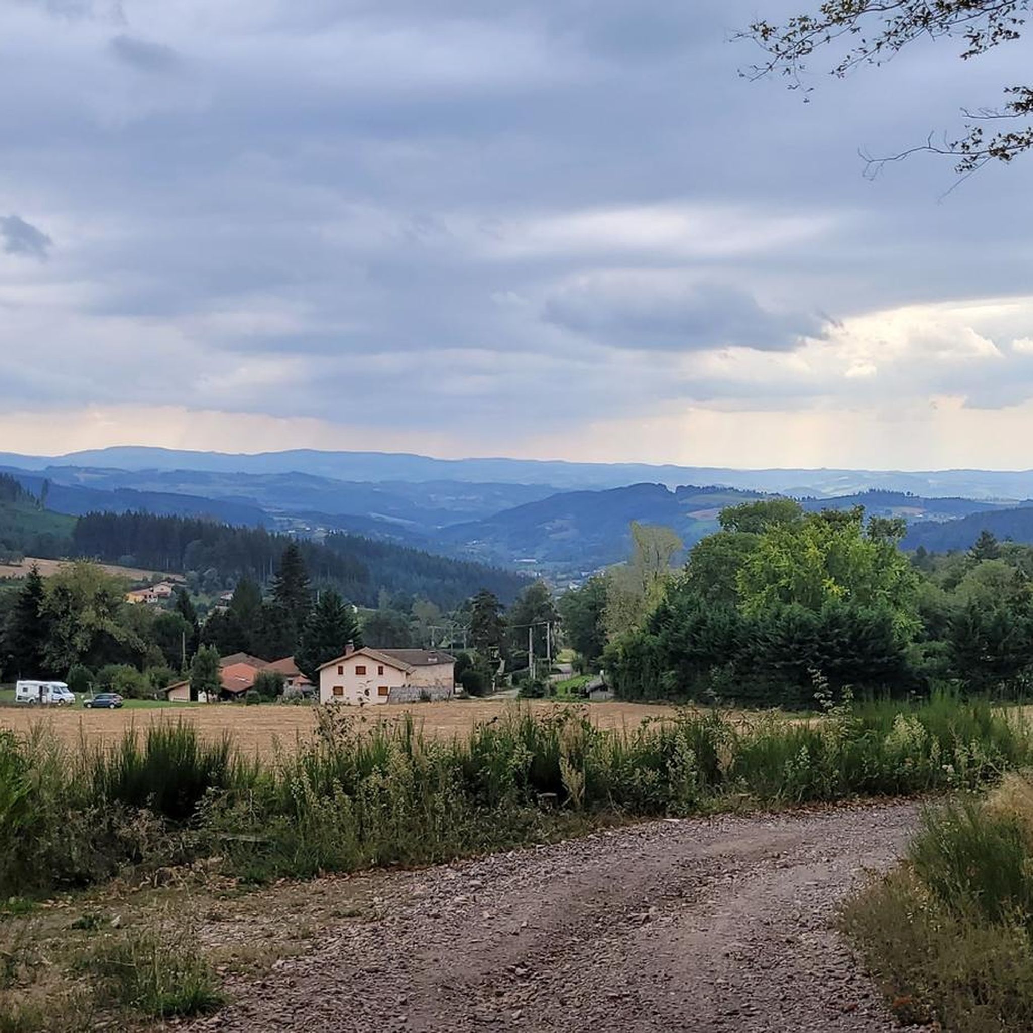
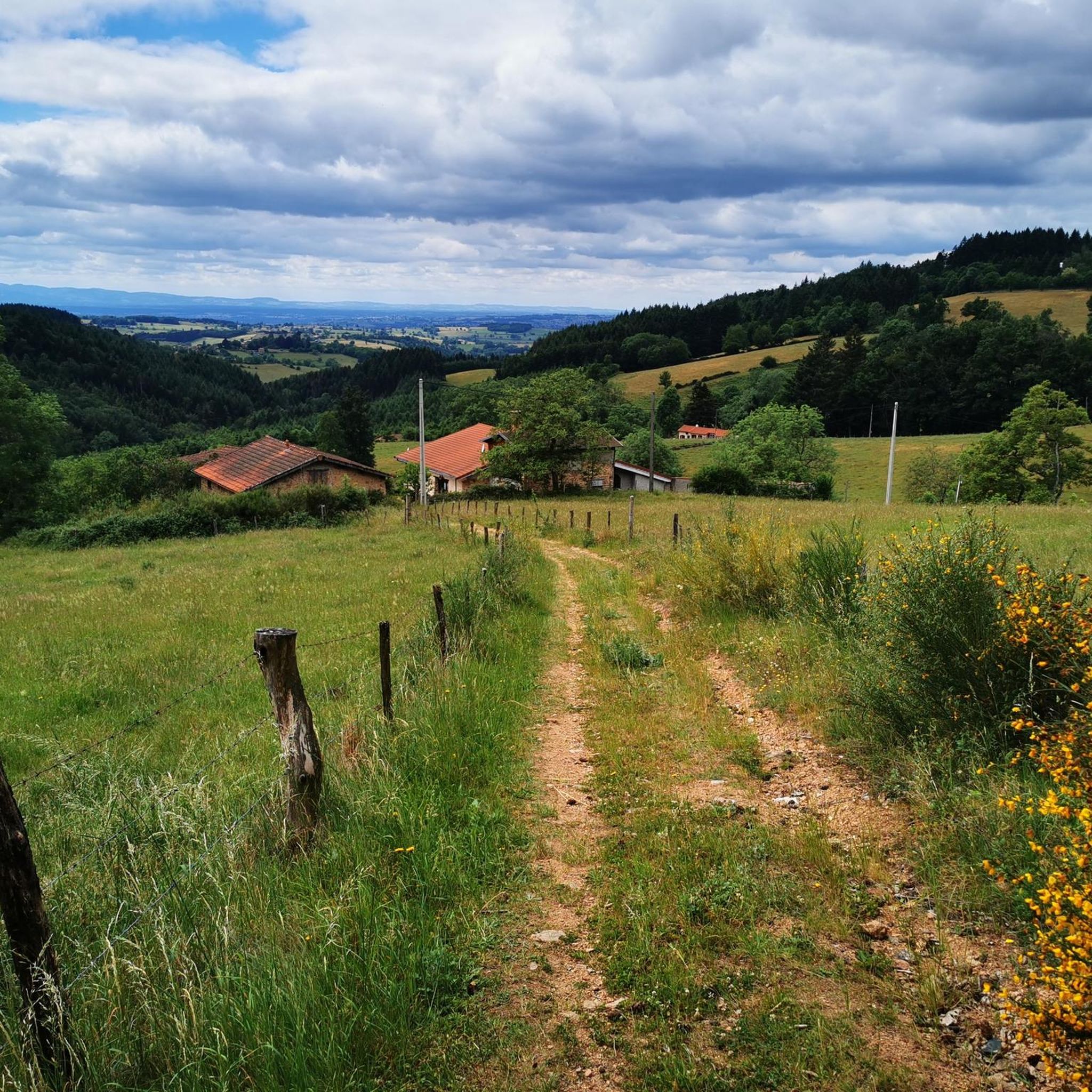
Hiking around Cuinzier provides access to a landscape featuring rolling hills and varied elevations, suitable for different hiking preferences. The region includes a mix of open areas and wooded sections, with routes often connecting local landmarks and chapels. Elevation gains range from gentle ascents to more challenging climbs, offering diverse experiences across its trails.
Best hiking trails around Cuinzier
- The most popular hiking route is Picnic – Le Calvaire Chapel loop from Arcinges, an easy 3.3 miles (5.3 km)…
Last updated: July 3, 2026
2
hikers
5.19km
01:30
140m
140m
Easy hike. Great for any fitness level. Easily-accessible paths. Suitable for all skill levels.
5.0
(1)
10
hikers
20.1km
05:56
580m
580m
Hard hike. Very good fitness required. Easily-accessible paths. Suitable for all skill levels.

Sign up for free
8
hikers
13.3km
03:50
340m
340m
Moderate hike. Good fitness required. Easily-accessible paths. Suitable for all skill levels.
3.0
(1)
5
hikers
12.7km
03:40
320m
320m
Moderate hike. Good fitness required. Easily-accessible paths. Suitable for all skill levels.
7
hikers
16.1km
04:48
510m
510m
Moderate hike. Good fitness required. Easily-accessible paths. Suitable for all skill levels.
Get access to more routes and recommendations from other explorers.
Sign up for free
Already have an account?
Our route recommendations are based on thousands of hikes, rides, and runs completed by other people on komoot.
Start today with a free account
Your next adventure awaits.
Login or Signup

Tips from the Community


Difficult climb to La Chapelle du Calvaire, rest area with tables and benches once at the top
0
0


Carpe Diem! Seating, let alone rest areas, are few and far between and are usually only found in and around the villages along the way, but then more often.
7
0
It is really impressive how in almost every small town the fallen of the war are commemorated and how lovingly these memorials are cared for.
7
0
All the more valuable, since rest areas are really few and far between. And you can sit and pause on the two benches at the entrance
6
0

As a memorial to the many dead, such memorials or war memorials are still very important today. "Now, Lord, let your servant go in peace, as you said." However, the people who are commemorated here did not divorce in peace, but became victims of war and tyranny. Many of the places and monuments that you come across along the way are evidence of the horrors of war and tyranny, which is still relevant and relevant today. They all have two essential functions, anew for each generation: -1- Commemorate and remember the victims -2- Remind to keep the peace
6
1

On the ascent to Arcinges you can see the steeple of the church, which, as you get closer, makes you (almost) forget the effort.
7
0
Frequently Asked Questions
How many hiking trails are available around Cuinzier?
There are over 80 hiking trails around Cuinzier, offering a wide range of options from easy strolls to more challenging day hikes. The region's landscape features rolling hills and varied elevations.
Are there easy hiking trails suitable for families around Cuinzier?
Yes, Cuinzier offers several easy trails. The Picnic – Le Calvaire Chapel loop from Arcinges is an easy 3.3 miles (5.3 km) route with gentle inclines, ideal for a relaxed outing with family.
What is the typical duration and distance for hikes in Cuinzier?
Hikes in Cuinzier vary significantly. You can find shorter routes like the Église Saint-Paul Le Cerne – Le Calvaire Chapel loop from Arcinges, which is about 7.9 miles (12.7 km) and takes around 3 hours 39 minutes. Longer, more challenging routes can extend to over 12 miles (20 km) and require more than 5 hours.
Are there any challenging hiking routes for experienced hikers?
Yes, for experienced hikers seeking a challenge, the Le Calvaire Chapel – Église Saint-Paul Le Cerne loop from Cuinzier is a difficult 12.4 miles (20.0 km) path. This route includes significant elevation changes and extends through varied terrain between two notable chapels.
What kind of scenery can I expect on the hiking trails in Cuinzier?
The hiking trails in Cuinzier offer a diverse landscape of rolling hills, open areas, and wooded sections. Many routes connect local landmarks and chapels, providing scenic views and points of interest along the way.
Are there circular hiking routes available in Cuinzier?
Many of the trails around Cuinzier are circular, allowing you to start and end your hike at the same point. For example, the Eau potable – Église Saint-Paul Le Cerne loop from Arcinges is a moderate 10 miles (16.1 km) circular route.
What are some interesting landmarks or attractions to see near the hiking trails?
Along the hiking trails, you can explore several interesting landmarks. Notable attractions include the Blue Cross and Picnic Area, the historic town of Charlieu with its medieval charm, and the tranquil Chapel of Fatima. The Charlieu Benedictine Abbey is also a significant historical site nearby.
What do other hikers enjoy most about hiking in Cuinzier?
The komoot community highly rates hiking in Cuinzier, with an average score of 4.5 stars from over 50 reviews. Hikers often praise the varied terrain, the mix of open and wooded landscapes, and the well-maintained paths that lead to local chapels and points of interest.
Is Cuinzier suitable for dog-friendly walks?
While specific dog-friendly regulations can vary by trail, the general landscape of Cuinzier with its rolling hills and wooded sections often provides good opportunities for walks with dogs. It's always recommended to keep dogs on a leash and clean up after them.
Are there any trails with scenic viewpoints in the Cuinzier area?
Many trails in Cuinzier offer scenic viewpoints, particularly those that traverse the region's rolling hills and varied elevations. The routes often provide expansive views of the surrounding countryside and connect to local landmarks that serve as natural vantage points.
What is the best season for hiking in Cuinzier?
The best season for hiking in Cuinzier is typically spring through autumn, when the weather is mild and the natural scenery is at its most vibrant. Spring brings blooming flora, while autumn offers beautiful foliage. Summer is also pleasant, though some routes may have less shade.
Are there any hidden gem trails around Cuinzier?
While specific 'hidden gems' are often discovered by local exploration, the less-trafficked paths that connect smaller hamlets or lead to secluded chapels can offer a more tranquil hiking experience away from the more popular routes. These often provide a deeper immersion into the local landscape and culture.
Most popular attractions around Cuinzier

Get inspired with the komoot mobile app


Explore more
Browse the best Hikes in other regions.
