The best road cycling routes around Saint-Laurent-Du-Cros
4.7
(320)
8,301
riders
140
rides
Road cycling routes around Saint-Laurent-Du-Cros are situated in the Champsaur valley, within France's Hautes-Alpes department, a region known for its diverse landscapes. The area features challenging mountain passes, including those frequently used in professional cycling events, alongside varied terrain suitable for different skill levels. Cyclists encounter winding roads, switchbacks, and sections through forested areas and rugged slopes. Proximity to the Ecrins National Park and Lake Serre-Ponçon further defines the natural setting for road cycling.
Best road cycling routes around Saint-Laurent-Du-Cros
…Last updated: July 15, 2026
4.5
(11)
334
riders
66.6km
03:51
1,450m
1,450m
Hard road ride. Very good fitness required. Mostly well-paved surfaces and easy to ride.
5.0
(12)
253
riders
Moderate road ride. Good fitness required. Mostly well-paved surfaces and easy to ride.

Sign up for free
5.0
(4)
157
riders
50.5km
02:56
1,200m
1,200m
Hard road ride. Very good fitness required. Mostly well-paved surfaces and easy to ride.
5.0
(1)
108
riders
61.3km
03:47
1,670m
1,670m
Hard road ride. Very good fitness required. Mostly well-paved surfaces and easy to ride.
5.0
(1)
40
riders
Moderate road ride. Good fitness required. Mostly well-paved surfaces and easy to ride.
Get access to more routes and recommendations from other explorers.
Sign up for free
Already have an account?
Our route recommendations are based on thousands of hikes, rides, and runs completed by other people on komoot.
Start today with a free account
Your next adventure awaits.
Login or Signup
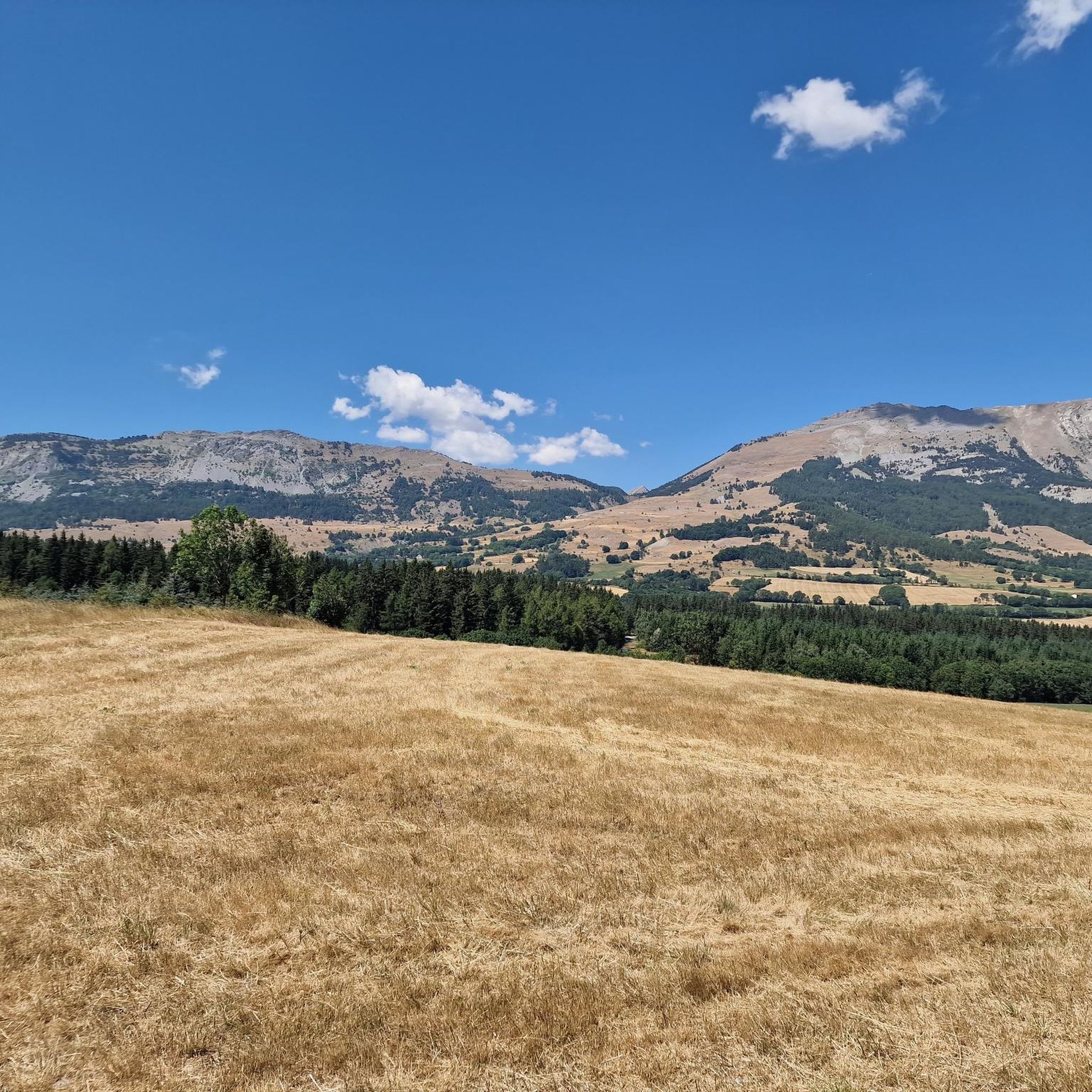
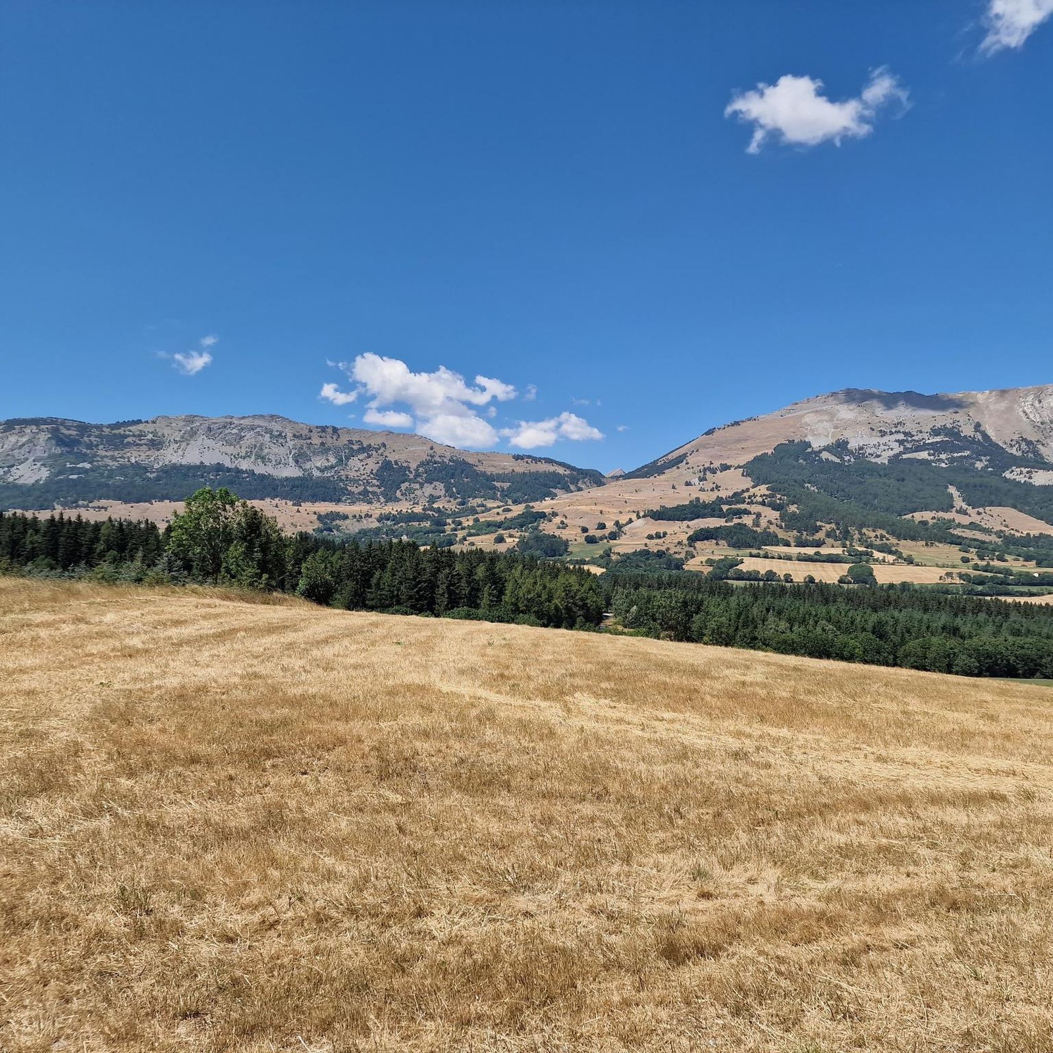
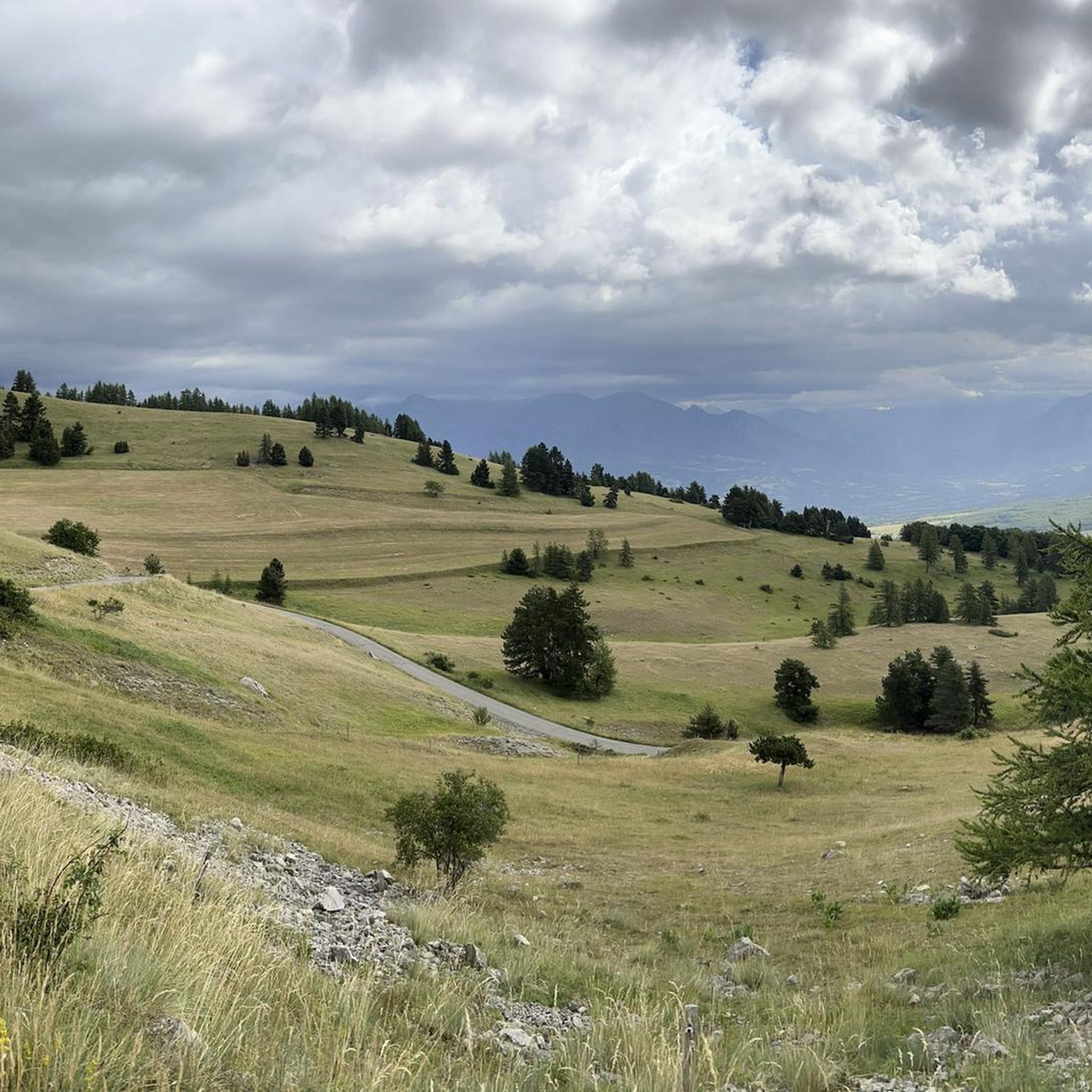

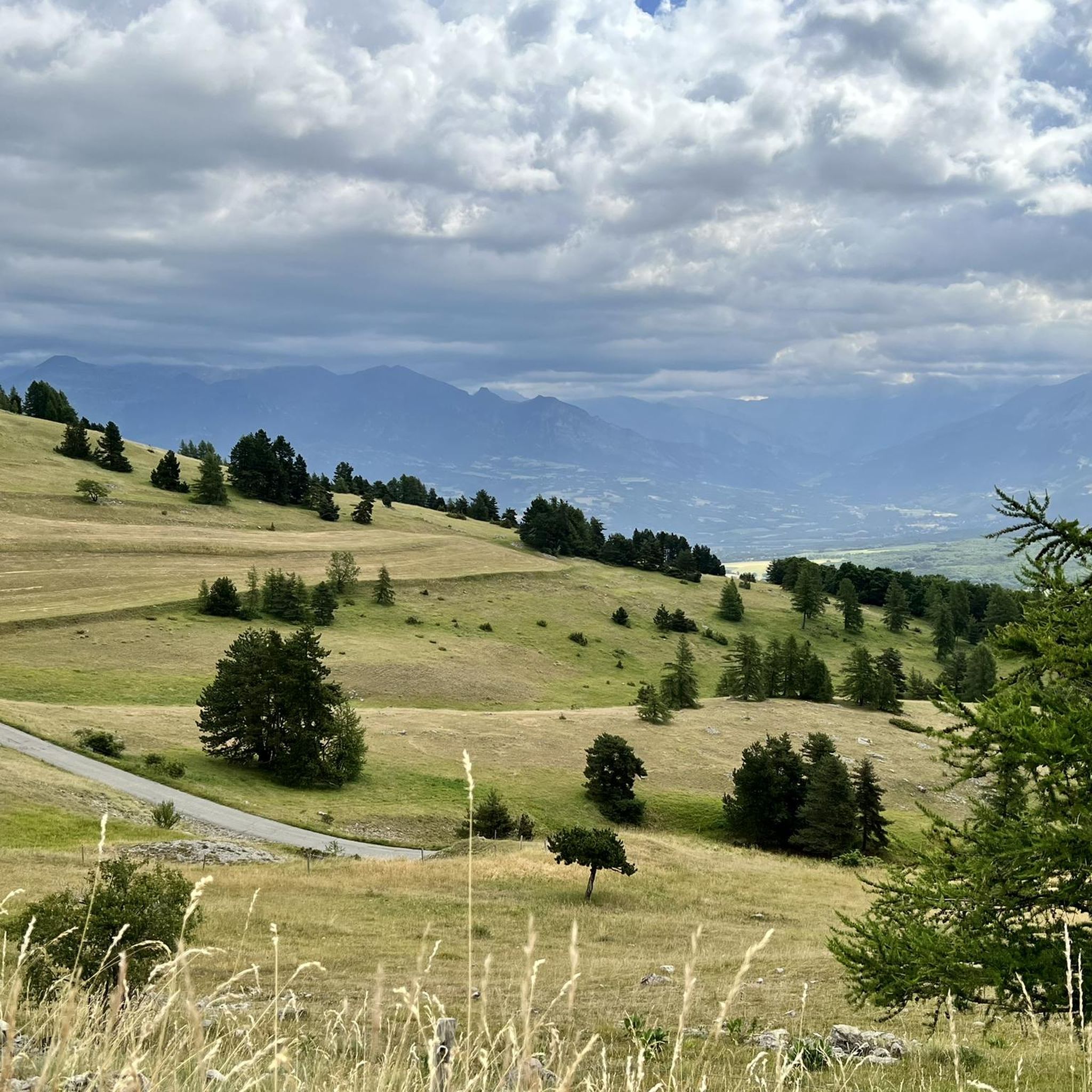
Tips from the Community

You have to be careful on this descent and it is very technical.
13
0

Very nice and well known climb with beautiful scenery.
0
0

A valley with very little traffic surrounded by pine forests.
26
0
Very fast stretch of road, if you let the bike slide you can reach high speeds.
18
0
Stretch of road with perfect asphalt and a beautiful panorama.
19
0
Spectacular stretch of road, simple slopes.
24
0
At times challenging climb with practically non-existent traffic. Panorama of indescribable beauty.
24
0
Frequently Asked Questions
What kind of road cycling routes can I find around Saint-Laurent-Du-Cros?
The region offers a diverse range of road cycling experiences, from challenging mountain passes to more moderate loops through varied landscapes. You'll encounter winding roads, switchbacks, and sections through forested areas and rugged slopes, characteristic of the Hautes-Alpes. There are 173 routes available, catering to different skill levels.
Are there routes suitable for beginners or families?
Yes, while the region is known for its challenging climbs, there are also easier options. For instance, the View of the Champsaur bocage loop from Saint-Bonnet-en-Champsaur is a moderate 12.8-mile (20.7 km) trail that offers a gentler ride through the scenic Champsaur bocage, suitable for those looking for a less strenuous experience. Overall, there are 7 easy routes and 90 moderate routes.
What are some of the more challenging road cycling routes in the area?
For experienced cyclists seeking a challenge, Saint-Laurent-Du-Cros is ideally located near legendary mountain passes. Routes like the Sautet dam – Corps loop from Laye, a 59.9-mile (96.7 km) difficult trail with significant elevation gain, or the Insane descent – Col du Noyer (1664 m) loop from Buissard, a 29.8-mile (48.0 km) difficult path featuring a notable mountain pass, provide intense climbs and rewarding descents. The area has 76 difficult routes in total.
What natural features or landmarks can I see along the road cycling routes?
Road cycling routes around Saint-Laurent-Du-Cros offer stunning views of the Champsaur valley and are in proximity to the Ecrins National Park. You can encounter iconic mountain passes like Col du Noyer (1664 m) and Col de Moissière (1573 m). The region also features the beautiful Lake Serre-Ponçon, about 24 km away, and unique wetlands known as 'Sagnes' near the plateau of Bayard, which boast diverse flora and fauna.
When is the best time of year to road cycle in Saint-Laurent-Du-Cros?
The best time for road cycling in Saint-Laurent-Du-Cros is generally from late spring through early autumn (May to October). During these months, the weather is typically mild, and mountain passes are clear of snow, offering ideal conditions for exploring the region's diverse terrain. Summer provides warmer temperatures, while spring and autumn offer cooler rides and vibrant scenery.
Can I road cycle in Saint-Laurent-Du-Cros during winter?
While some lower-altitude routes might be accessible, winter road cycling in Saint-Laurent-Du-Cros can be challenging due to snow and ice, especially on higher mountain passes. Many of the iconic passes are closed during the colder months. It's advisable to check local weather and road conditions before planning any winter rides.
How can I reach Saint-Laurent-Du-Cros by public transport?
Saint-Laurent-Du-Cros is located in a rural area of the Hautes-Alpes. While specific direct public transport links for cyclists might be limited, the nearest major town, Gap, serves as a regional hub with train connections. From Gap, local bus services or taxis might be available to reach Saint-Laurent-Du-Cros. It's recommended to check regional transport schedules in advance.
Where can I park my car when starting a road cycling route?
Parking availability will vary depending on your chosen starting point. Many villages and trailheads in the Champsaur valley, including Saint-Laurent-Du-Cros and nearby towns like Saint-Bonnet-en-Champsaur, offer public parking areas. For specific routes, it's often possible to find parking in the vicinity of the starting village or at designated car parks for outdoor activities.
What do other road cyclists enjoy most about road cycling in Saint-Laurent-Du-Cros?
The area is highly rated by the komoot community, with an average score of 4.6 stars from over 285 reviews. Cyclists often praise the challenging mountain passes, the stunning natural beauty of the Champsaur valley, and the diverse terrain that caters to various skill levels. The proximity to the Ecrins National Park and Lake Serre-Ponçon also adds to the appeal, offering breathtaking scenery throughout the rides.
Are there any specific cycling events or initiatives in the Hautes-Alpes region?
Yes, the Hautes-Alpes actively promotes cycling through initiatives like 'Cols réservés'. During these events, legendary roads are temporarily closed to motorized traffic on specific mornings, allowing cyclists to experience iconic climbs in absolute peace and quiet. This provides a unique opportunity to focus solely on the ride and the magnificent landscape without vehicle interference.
Are there any other notable routes besides the ones mentioned?
Absolutely! Beyond the popular choices, you can explore routes like the Col de Manse – Champoleon valley loop from Col de Manse, a difficult 65.4 km (40.6 miles) ride with significant elevation, or the Lake Aulagnier – Le Drac loop from Buissard, another challenging 67.3 km (41.8 miles) route. With 173 routes in total, there are many more to discover.
Most popular routes around Saint-Laurent-Du-Cros
Most popular attractions around Saint-Laurent-Du-Cros

Get inspired with the komoot mobile app


Explore more
Browse the best Road cycling routes in other regions.
