The best walks and hikes around Coignières
4.6
(1517)
7,070
hikers
18
hikes
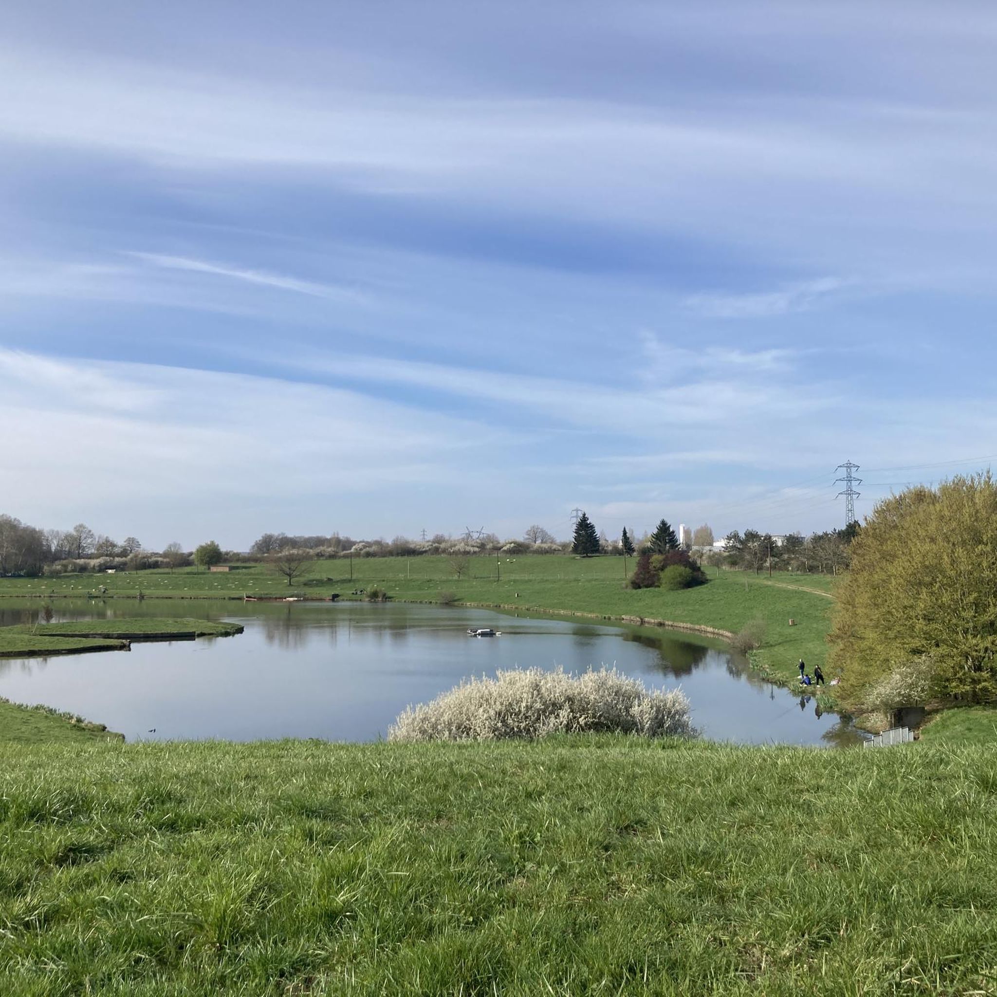
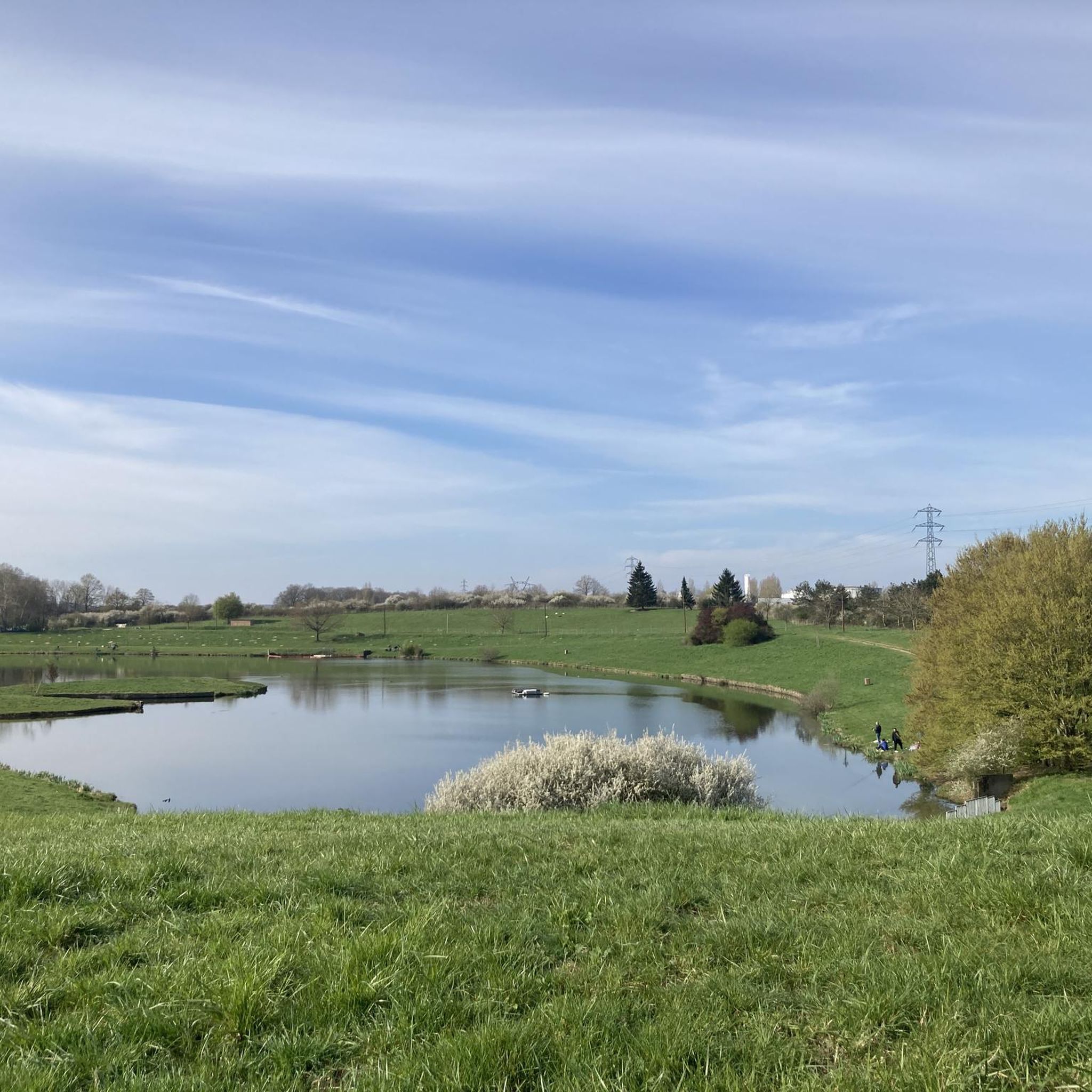
Hiking around Coignières offers access to the diverse landscapes of the Haute Vallée de Chevreuse Regional Nature Park. The region features extensive forests, including the Bois des Hautes-Bruyères and Bois de la Kabyline, alongside the meandering Mauldre River and the historic Rigoles Royales. Rolling hills provide varied terrain, while sites like the Val Favry offer wetlands and ponds. This area is characterized by a mix of natural, agricultural, and forest areas, providing diverse environments for walking.
Best hiking trails around…
Last updated: July 1, 2026
5.0
(6)
25
hikers
Moderate hike. Good fitness required. Easily-accessible paths. Suitable for all skill levels.
5.0
(2)
22
hikers
23.4km
06:12
210m
210m
Hard hike. Very good fitness required. Mostly accessible paths. Sure-footedness required.

Sign up for free
5.0
(1)
18
hikers
Easy hike. Great for any fitness level. Easily-accessible paths. Suitable for all skill levels.
14
hikers
Easy hike. Great for any fitness level. Easily-accessible paths. Suitable for all skill levels.
5.0
(4)
6
hikers
14.7km
03:57
180m
180m
Moderate hike. Good fitness required. Easily-accessible paths. Suitable for all skill levels.
Get access to more routes and recommendations from other explorers.
Sign up for free
Already have an account?
Our route recommendations are based on thousands of hikes, rides, and runs completed by other people on komoot.
Start today with a free account
Your next adventure awaits.
Login or Signup
Tips from the Community

Ideal parking for a starting point for the Girouard circuit This circuit covers three municipalities: Lévis-St-Nom, Les Essarts-le-Roi, and Dampierre. It covers a length of 7.9 km, including 380 m in the municipality of Les Essarts-le-Roi, 4.02 km in the municipality of Dampierre, 3.25 km in the municipality of Lévis-St-Nom, and 250 m between the latter two municipalities. This circuit runs in the same direction as the Pommeret circuit on their shared section. Therefore, its direction of travel is clockwise, for the sake of the view and ease of travel. This circuit passes by the Church and the Cemetery of Lévis-St-Nom, climbs to the crossroads of the Six Croix, crosses the Bois de Maincourt and runs along the marsh, then passes into Maincourt, then into the hamlet of Mousseau, crosses the Bois de l'Etrille along the Ravin then the Haras, to finish in Girouard. The environments crossed are: forests, fields, meadows, wetlands (Yvette, Marais de Maincourt, Ravin de l'Etrille, Ru du Pommeret). In terms of topography, this circuit crosses plateaus, hillsides and valley bottoms, with a maximum difference in altitude of 60m.
0
0

"Over fifty years ago, on 26th July 1944, a 49 Squadron Lancaster bomber was returning from a raid on Stuttgart and, according to eye-witnesses, appeared to try to make an emergency landing. The aircraft crashed into a wood near the village of Coignieres in northern France, killing all seven of the crew. The mayor at the time gathered together a seach party and went to the crash site with the aim of retrieving the bodies, and thus preventing the Germans from having access to them. Despite warnings from the Germans that the bodies should be buried where they fell, they were brought back to the village.The mayor, M Godot, requisitioned seven coffins and a burial service took place, conducted by the village priest. A large crowd attended, including many from other villages. Word had got around, despite the fact that the Germans were in occupation. A memorial was erected and the Tricolour flown, again in defiance of German regulations. Immediately after the funeral the Germans called at the mayor's house to demand the location of the crash site. Inside the house were the dignitaries from local villages who had taken part in the funeral ceremony. Whilst the mayor was trying to convince the Germans that nothing unusual was going on, and indicating very approximately the area of the crash on a map, his daughter secretly left the house to remove as many of the wreaths and flags as possible from the graves and the memorial. Fortunately the Germans did not leave by the town square, otherwise they could have seen the remains of the decorations. The villagers took great risks in retrieving the bodies and burying them with honour, and had they been found out would have suffered the consequences. "
0
0


The Port Royal Abbey was destroyed by the orders of Louis XIV. This Jansenist landmark had attracted the wrath of the Jesuits who were very influential at Court at the time.
0
0

Nestled in the Chevreusee Valley, the Maincourt-sur-Yvette washhouse is a beautiful piece of rural heritage. This stone washhouse, carefully restored, is surrounded by greenery. A little gem to discover during a stroll in the region.
0
0

expanse of ferns reflecting the trees and providing a touch of green
0
0
supervision on the meadow with multiple horses running free
0
0

This circuit is recommended by FFR. It is marked in blue and white.
1
0
Frequently Asked Questions
How many hiking trails are available around Coignières?
There are nearly 20 hiking routes around Coignières, offering a diverse range of experiences. These include 5 easy trails, 13 moderate routes, and 1 more challenging option, ensuring something for every skill level.
What types of landscapes can I expect on hikes near Coignières?
Hiking around Coignières offers a blend of natural beauty, primarily within the Haute Vallée de Chevreuse Regional Nature Park. You'll find extensive forests like Méridon and Rambouillet, picturesque paths along the Yvette Valley, and rolling hills that provide varied terrain and scenic viewpoints. The area also features several ponds and lakes, adding to the tranquil environment.
Are there easy hiking options suitable for beginners or families with children?
Yes, Coignières offers several easy hiking options perfect for beginners or families. For instance, the Étang de l'honoré – Chaussée du grand étang loop from Coignières is an easy 4.2-mile (6.7 km) path that provides pleasant walking around local ponds and through natural surroundings. There are 5 easy routes in total to choose from.
What historical sites or landmarks can I see while hiking near Coignières?
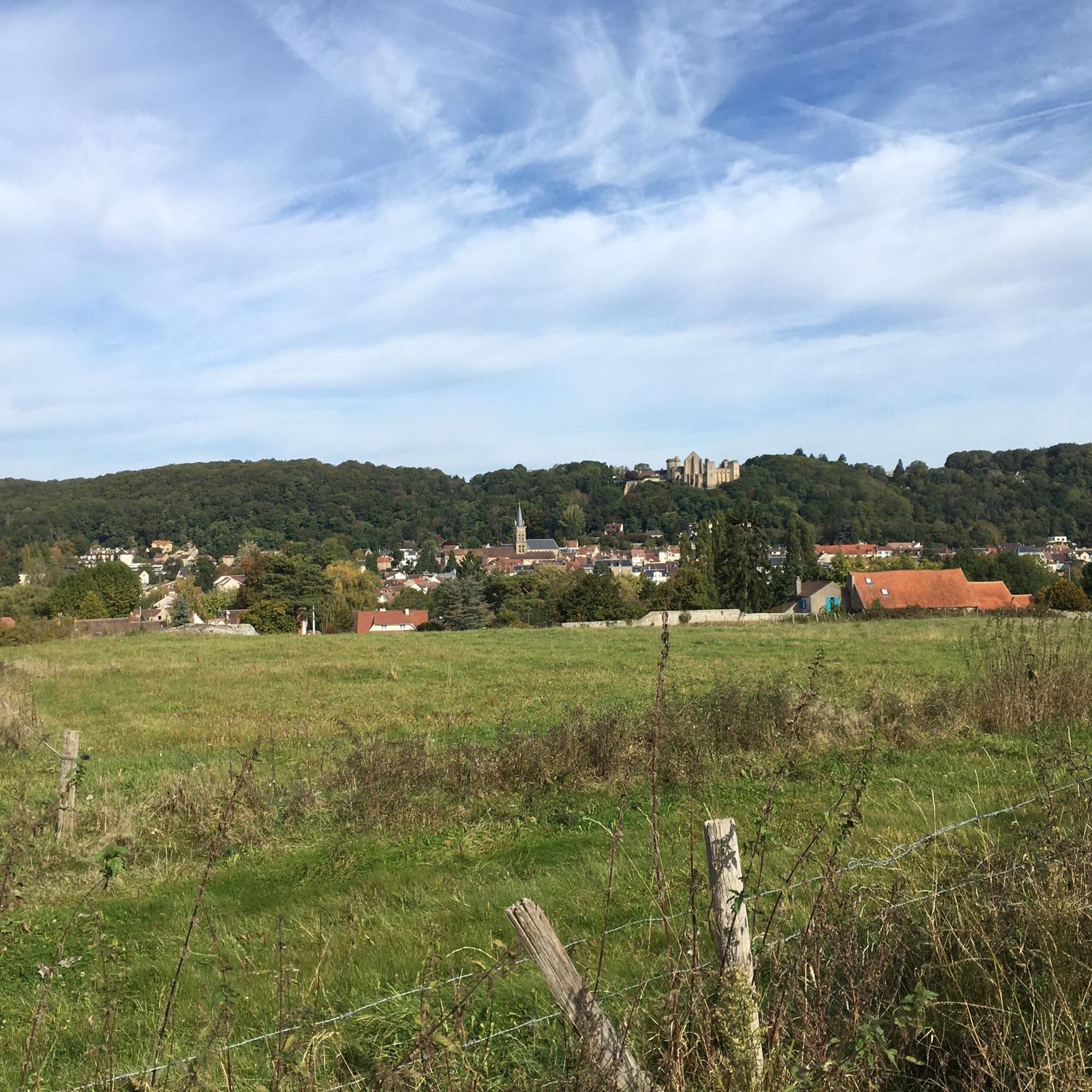
The region is rich in history. Many trails lead to or pass by significant sites such as the medieval Château de la Madeleine, which offers stunning views from its belvedere. You can also explore the area around the former Port-Royal-des-Champs Abbey, a historical focal point for many hikes, as seen on the Abbey of Port-Royal-des-Champs – Oratory loop from La Verrière.
Are there any circular hiking routes around Coignières?
Yes, many of the trails around Coignières are circular, allowing you to start and end at the same point. A popular choice is the Maincourt Mill Marsh – Maincourt Washhouse loop from La Verrière, a 9.3-mile (15.0 km) route through varied forest and marsh landscapes.
Can I bring my dog on the hiking trails in Coignières?
Generally, dogs are welcome on trails in the Haute Vallée de Chevreuse Regional Nature Park, but it's always best to keep them on a leash, especially in forested areas to protect wildlife and ensure the safety of other hikers. Please check specific trail regulations for any restrictions.
What do other hikers enjoy most about the trails in Coignières?
The trails around Coignières are highly rated by the komoot community, with an average score of 4.5 stars from over 1,400 reviews. Hikers often praise the quiet woodlands, the varied terrain, and the well-maintained paths that offer a peaceful escape into nature. The blend of natural beauty and historical sites is also frequently highlighted.
Are there trails that feature water bodies like lakes or ponds?
Yes, the region includes several picturesque water bodies. The Étang de l'honoré – Chaussée du grand étang loop from Coignières is a great example, offering pleasant walks around local ponds. The Yvette river also meanders through the valley, providing scenic riverside paths.
Is public transport available to reach trailheads near Coignières?
Coignières is served by local public transport, and some trailheads may be accessible via bus or train, particularly those connecting to larger towns within the Haute Vallée de Chevreuse Regional Nature Park. It's advisable to check local transport schedules and routes in advance to plan your journey to specific starting points.
What is the best time of year to go hiking in Coignières?
Spring and autumn are generally ideal for hiking in Coignières, offering pleasant temperatures and beautiful scenery with blooming flowers or vibrant fall foliage. The extensive forests also provide welcome shade during warmer summer months, making them suitable for hiking. Winter hikes can be serene, but some paths might be muddy.
Are there any viewpoints offering panoramic vistas?
Yes, the rolling hills in the region provide opportunities for scenic views. Notably, the belvedere of the Château de la Madeleine offers exceptional vistas over the surrounding valley and natural park, making it a popular destination for hikers seeking panoramic sights.
Can I find parking at the trailheads around Coignières?
Parking is generally available near popular trailheads and villages within the Haute Vallée de Chevreuse Regional Nature Park. However, during peak seasons or on weekends, spaces can fill up quickly. It's recommended to arrive early or consider parking in nearby village centers and walking to the trailhead.
Most popular routes around Coignières
Most popular attractions around Coignières

Get inspired with the komoot mobile app


Explore more
Browse the best Hikes in other regions.
