The best running trails around La Haute-Beaume
12
runners
6
runs
Jogging around La Haute-Beaume offers challenging running routes through a mountainous landscape characterized by significant elevation changes and scenic passes. The region features trails that ascend to summits and navigate through varied terrain, providing panoramic views. These running routes are generally demanding, with considerable uphill sections.
Best jogging routes around La Haute-Beaume
- The most popular jogging route is Saint-Apôtre – Col de Seille loop from Pré la Chèvre, a 5.3 miles (8.5 km) trail that takes 1 hour 13…
Last updated: June 25, 2026
3
runners
8.48km
01:14
480m
480m
Hard run. Very good fitness required. Sure-footedness, sturdy shoes and alpine experience required.
4
runners
22.6km
03:15
1,070m
1,070m
Hard run. Very good fitness required. Mostly paved surfaces. Suitable for all skill levels.

Sign up for free
1
runners
10.5km
01:25
400m
400m
Hard run. Very good fitness required. Mostly paved surfaces. Suitable for all skill levels.
2
runners
8.94km
01:44
620m
620m
Hard run. Very good fitness required. Sure-footedness, sturdy shoes and alpine experience required.
2
runners
18.7km
02:34
720m
720m
Hard run. Very good fitness required. Mostly paved surfaces. Suitable for all skill levels.
Our route recommendations are based on thousands of hikes, rides, and runs completed by other people on komoot.
Start today with a free account
Your next adventure awaits.
Login or Signup
Tips from the Community

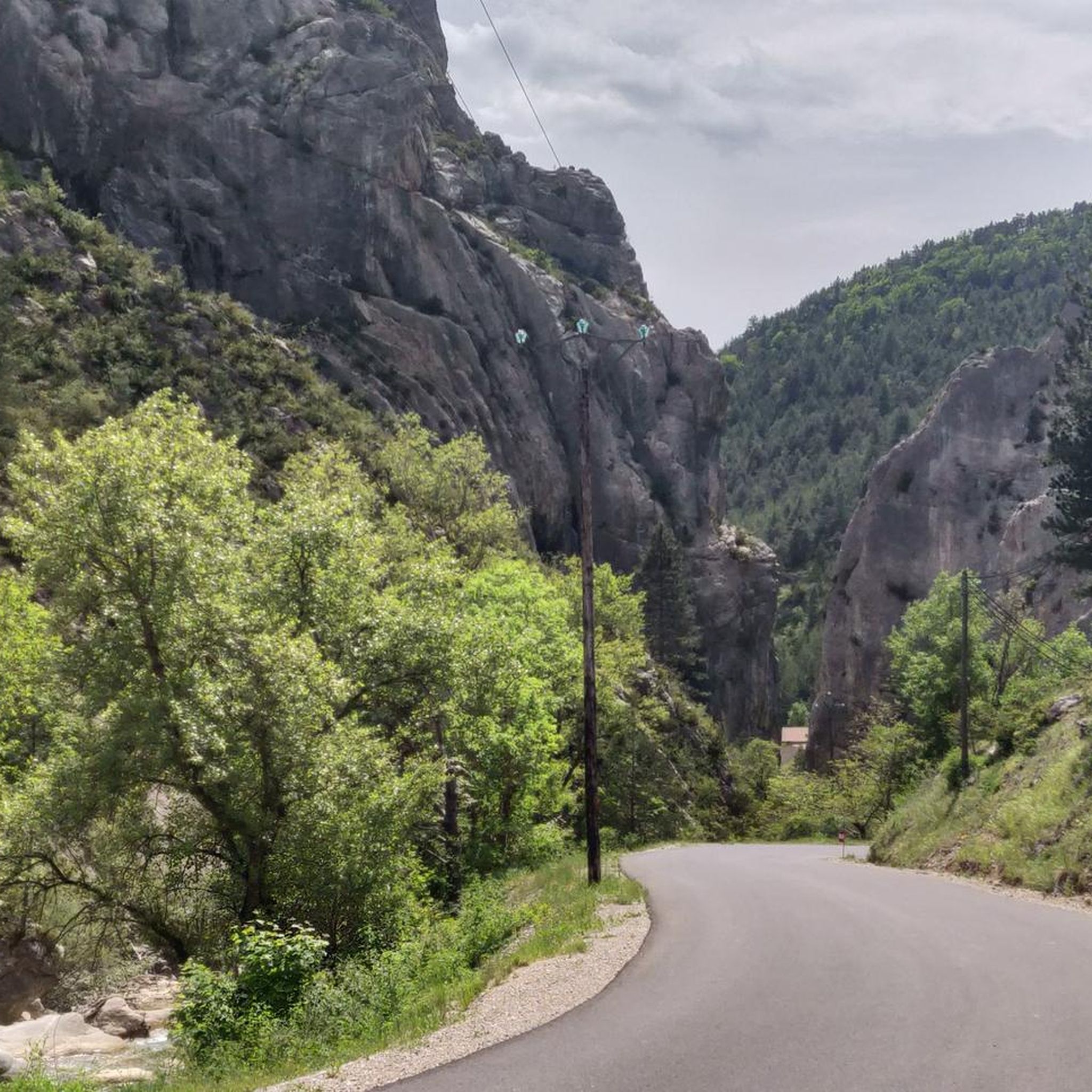
The Col de Carabès is a mountain pass located in the French Alps, on the border between the departments of Drôme and Hautes-Alpes.
6
0

Much better alternative than the main road from the Drôme towards Gap. Almost no traffic, on average 4-5% on both sides, but short stretches also 7-8%. On the south side beautiful rock formations and gorge, north side less spectacular, more between trees.
2
0

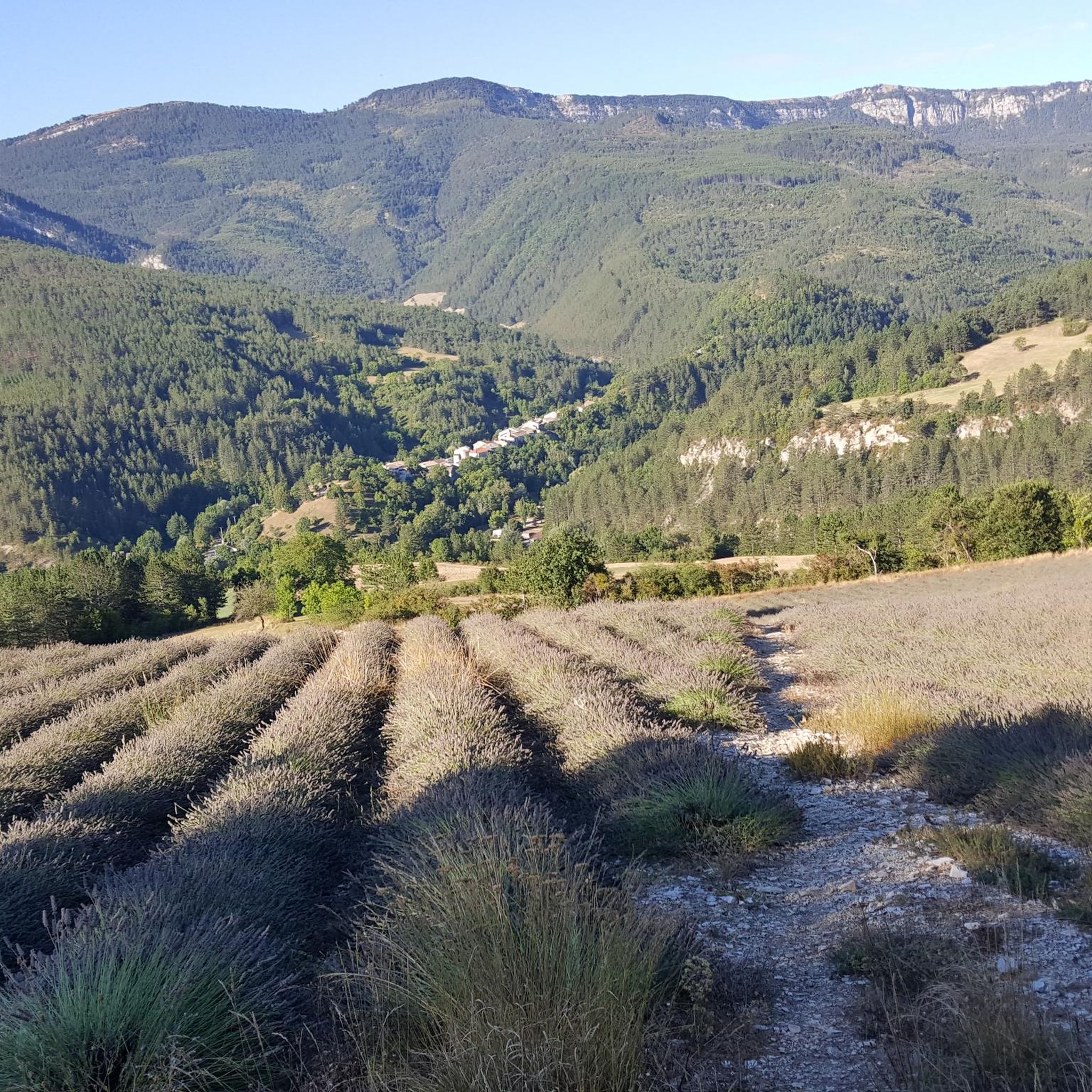
Very beautiful panorama on the Hautes Alpes side
3
0

The Col de Carabès from Valdrôme is 9.7km long with an average gradient of 4.9%. From Sigottier the climb is 10.5km with an average gradient of 5.15%.
4
0

Small alpine pass, absolutely narrow, little-traveled road (D27) between Valdrôme and Serres. More information: https://www.quaeldich.de/paesse/col-de-carabes/
5
0
Frequently Asked Questions
How many jogging routes are available in La Haute-Beaume?
There are 5 challenging jogging routes detailed in this guide for La Haute-Beaume. These routes are designed for experienced runners due to significant elevation changes and mountainous terrain.
Are there any easy or beginner-friendly running paths in La Haute-Beaume?
The jogging routes around La Haute-Beaume are generally demanding, characterized by significant elevation gains and difficult terrain. All routes listed in this guide are classified as 'difficult', making them more suitable for experienced runners.
What is the typical length and duration of running routes in La Haute-Beaume?
The running routes in La Haute-Beaume vary in length, generally ranging from approximately 5.3 miles (8.5 km) to 14.0 miles (22.5 km). Completion times can range from about 1 hour 13 minutes to over 3 hours, depending on the route and your pace, given the substantial elevation changes.
Are there circular running routes available in La Haute-Beaume?
Yes, many of the running routes in La Haute-Beaume are circular. For example, the Saint-Apôtre – Col de Seille loop from Pré la Chèvre and the Laup summit – Banner loop from Valdrôme are both excellent circular options.
What kind of views can I expect on the jogging trails in La Haute-Beaume?
The jogging trails in La Haute-Beaume offer panoramic views of the surrounding mountainous landscape. Routes often ascend to summits and navigate through scenic passes like Col de Carabès or Col de la Haute Beaume (1268 m), providing expansive vistas of the region.
Is La Haute-Beaume suitable for family-friendly jogging?
Given the challenging nature of the terrain, with significant elevation changes and difficult classifications for all routes, La Haute-Beaume's jogging trails are generally not recommended for families with young children or those seeking very easy, flat paths.
What is the best time of year to go jogging in La Haute-Beaume?
The best time for jogging in La Haute-Beaume, with its mountainous terrain, is typically during spring, summer, and early autumn. These seasons offer more favorable weather conditions and clearer trails. Winter can bring snow and ice, making routes more challenging and potentially hazardous.
Are there any specific landmarks or points of interest along the running routes?
Yes, the routes often pass through or near notable mountain passes such as Col de Carabès, Miscon Pass, and Col de la Haute Beaume (1268 m). You might also encounter viewpoints offering superb views, like the Superb view of Mont Duffre.
What should I wear or bring for jogging in La Haute-Beaume?
Due to the mountainous and challenging terrain, it's advisable to wear appropriate trail running shoes with good grip, layered clothing suitable for changing mountain weather, and carry sufficient water and snacks. A map or GPS device is also recommended for navigation.
Where can I find parking for the jogging trails in La Haute-Beaume?
Specific parking information for each trailhead is often available on the individual route pages. For example, the Saint-Apôtre – Col de Seille loop starts from Pré la Chèvre, and the Laup summit – Banner loop begins from Valdrôme, where local parking options would be available.
Are dogs allowed on the jogging trails in La Haute-Beaume?
Generally, dogs are permitted on trails in the region, but it's always best to keep them on a leash, especially in areas with livestock or wildlife. Check local regulations or specific trail signage for any restrictions.
Are there any less-known or 'hidden gem' running routes in the area?
While all routes in this guide offer unique challenges and scenery, the Quigouret loop from Vaunières is a demanding 8.9 km route with significant elevation, offering a rewarding experience for those looking to explore beyond the most popular options.
Most popular attractions around La Haute-Beaume

Get inspired with the komoot mobile app


Explore more
Browse the best Running Trails & Routes in other regions.
