The best road cycling routes around Saint-Martin-La-Sauveté
4.4
(23)
1,227
riders
173
rides
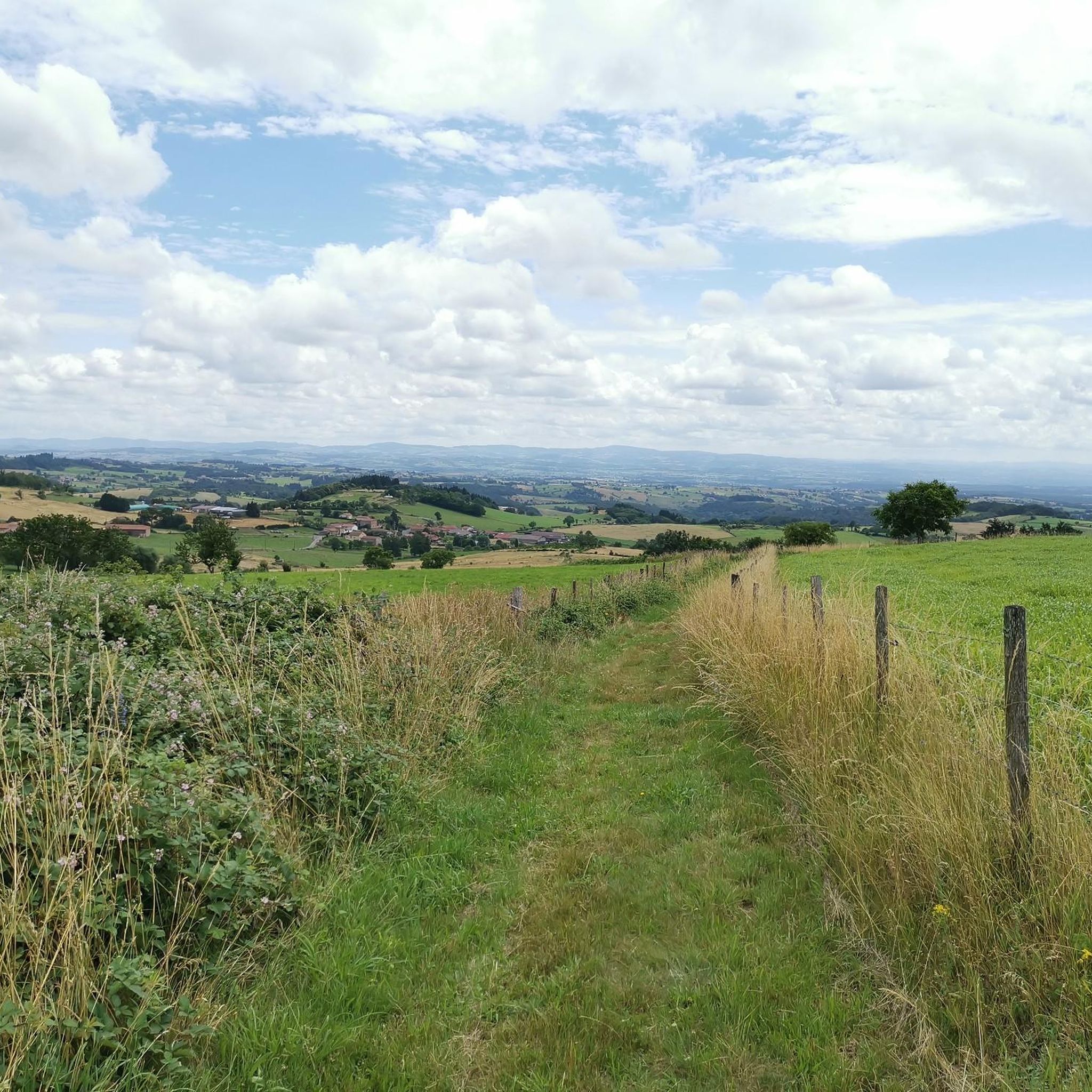
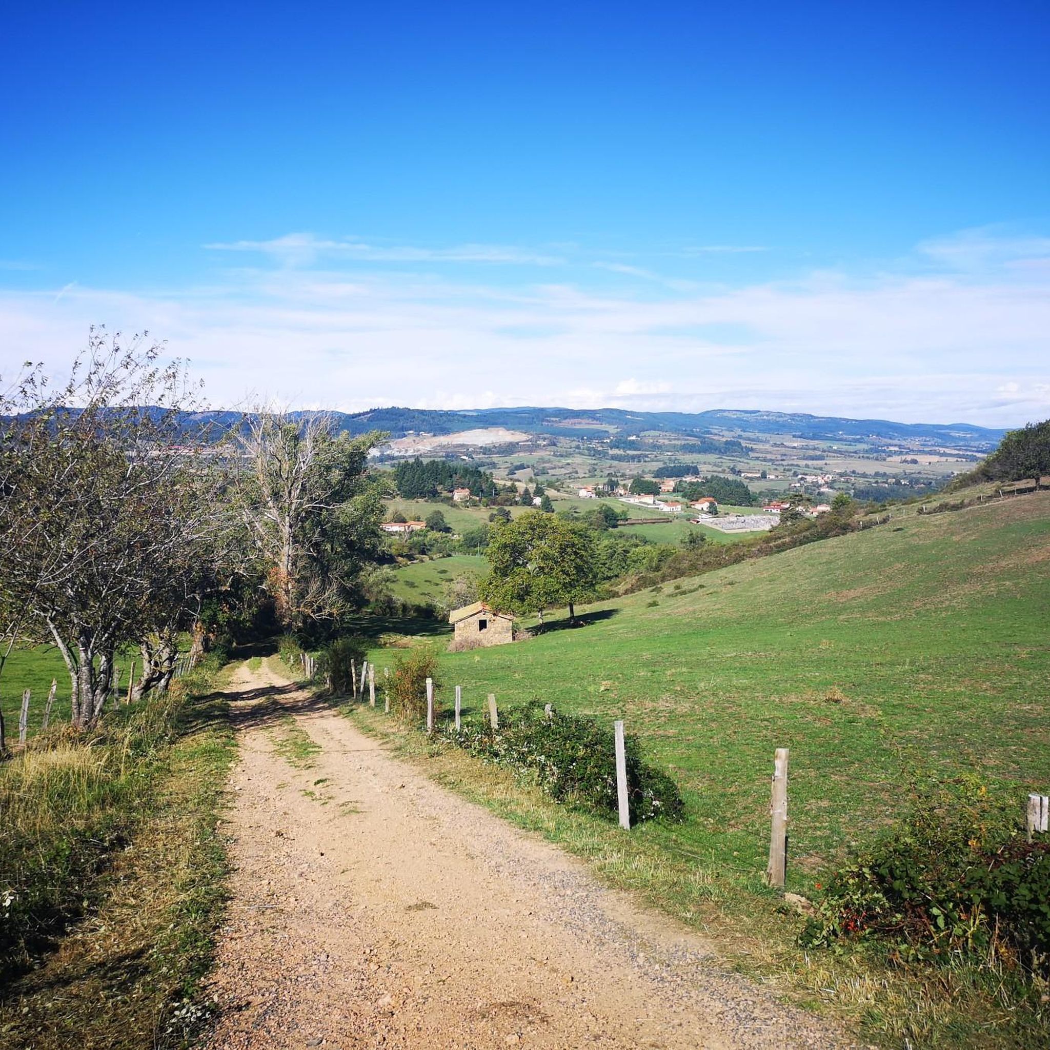
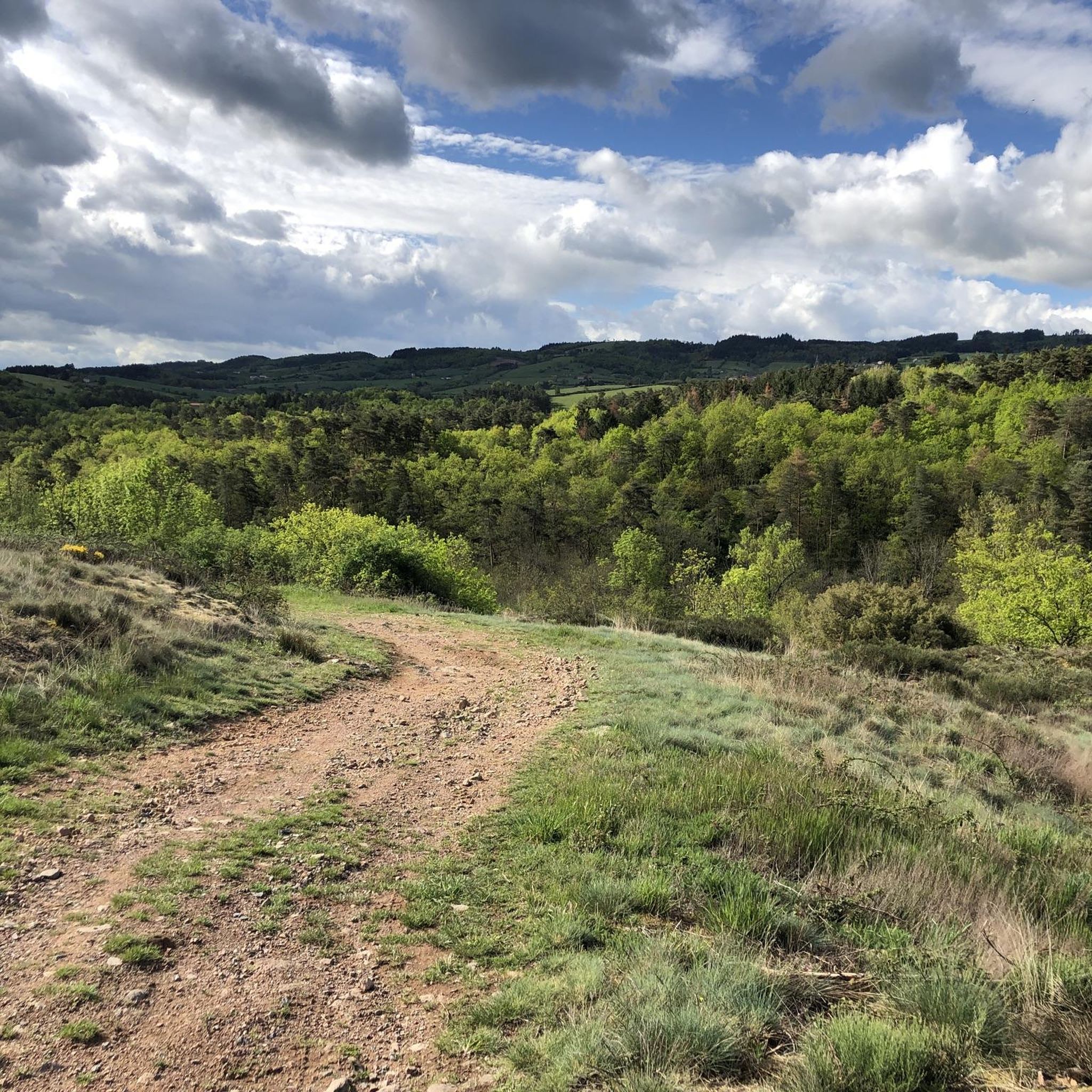
Road cycling routes around Saint-Martin-La-Sauveté traverse a varied landscape in the Forez region of France, characterized by significant elevation changes ranging from 408 meters to 899 meters. The area is situated on the foothills of the Monts du Forez, offering both challenging climbs and scenic descents. Cyclists will find routes winding through agricultural land, meadows, and woodlands, with rivers like the Aix adding to the natural features. This diverse topography provides a range of road cycling experiences.
Best road cycling…
Last updated: July 15, 2026
43
riders
114km
05:32
1,380m
1,380m
Hard road ride. Very good fitness required. Some segments of this route may be unpaved and difficult to ride.
16
riders
84.4km
04:04
1,150m
1,150m
Hard road ride. Very good fitness required. Mostly well-paved surfaces and easy to ride.

Sign up for free
4.5
(2)
32
riders
Moderate road ride. Good fitness required. Mostly well-paved surfaces and easy to ride.
12
riders
Moderate road ride. Good fitness required. Mostly well-paved surfaces and easy to ride.
14
riders
98.3km
04:41
1,360m
1,360m
Hard road ride. Very good fitness required. Mostly well-paved surfaces and easy to ride.
Get access to more routes and recommendations from other explorers.
Sign up for free
Already have an account?
Our route recommendations are based on thousands of hikes, rides, and runs completed by other people on komoot.
Start today with a free account
Your next adventure awaits.
Login or Signup
Tips from the Community

The 17th-century Château de la Roche, with its tower and keep, is the landmark of the Loire Gorge. Its atypical location in the heart of the Loire River makes it an exceptional sight.
2
0

Beautiful, well-preserved church with large stained glass windows. Pilgrims can get their pilgrim passport stamped in this church.
0
0

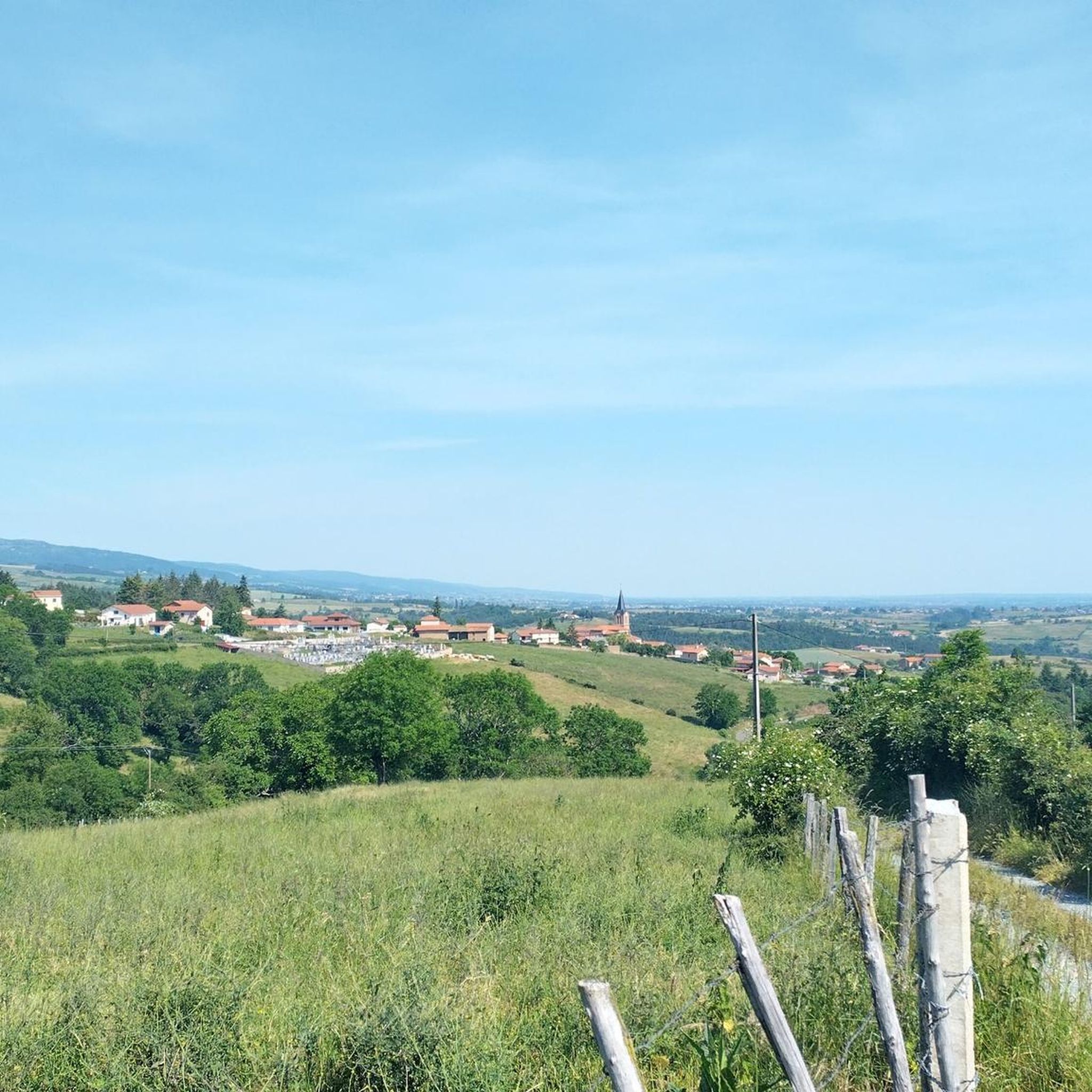
Bully is a locality appreciated for its rural and peaceful setting. It is also renowned for its vineyards, which are part of the Coteaux du Lyonnais appellation, producing red and white wines. The town also has a rich architectural heritage, including the Saint-Pierre-et-Saint-Paul church and several old houses typical of the region.
1
0

old village with its priory to visit
0
0

Friendly atmosphere, lovely and welcoming owner...
0
0

It was wonderful on my way #berndscamino https://huettemann.eu/de/2024/02/bergauf-bergab-an-die-loire-berndscamino/
0
0
Wonderfully impressive history with a view. https://huettemann.eu/de/2024/02/bergauf-bergab-an-die-loire-berndscamino/
0
0

Water point on the roadside (tap). Toilets next door.
0
0
Frequently Asked Questions
How many road cycling routes are available around Saint-Martin-La-Sauveté?
There are nearly 180 road cycling routes around Saint-Martin-La-Sauveté listed on komoot. These routes cater to various skill levels, with options ranging from moderate to difficult rides through the diverse Forez landscape.
What kind of terrain can I expect when road cycling in Saint-Martin-La-Sauveté?
Road cycling in Saint-Martin-La-Sauveté offers a varied and picturesque experience. The region is situated on the foothills of the Monts du Forez, with elevations ranging from 408 to 899 meters. This means you'll encounter both challenging climbs and scenic descents, winding through agricultural land, meadows, and woodlands, often alongside rivers like the Aix.
Are there any challenging road cycling routes for experienced riders?
Yes, Saint-Martin-La-Sauveté offers numerous challenging routes. For instance, the La Roche Castle – Montverdun Priory loop from Saint-Germain-Laval is a difficult 113.7 km trail with over 1,380 meters of elevation gain. Another demanding option is the View of Mont Blanc – Col de la Loge des Gardes loop from Grézolles, covering 73.3 km with over 1,250 meters of ascent.
Are there any moderate road cycling routes suitable for a balanced ride?
Absolutely. For a balanced ride through the local countryside, consider the Château de La Roche – La Roche Castle loop from Saint-Germain-Laval. This moderate 53.5 km path includes around 668 meters of elevation gain and passes by historical points of interest.
What historical or scenic points of interest can I see along the road cycling routes?
Many routes in the region pass by historical and scenic points. You might encounter vestiges of the ancient Roman road of Aquitaine, which traversed the village. The Saint Michel de Bully church – Pommiers-en-Forez Priory loop from Saint-Germain-Laval, for example, leads through agricultural land and past historical churches. You can also explore highlights like Pommiers-en-Forez or the Valla Bridge.
Are there any routes that offer panoramic views?
Yes, the diverse topography of Saint-Martin-La-Sauveté, situated on the foothills of the Monts du Forez, naturally offers many opportunities for panoramic views. The village itself has a belvedere that provides superb vistas, potentially extending to the Alps and allowing sight of 40 church steeples. Routes like the Col de la Loge – Col de la Loge (1,253 m) loop from Saint-Thurin will take you to higher elevations where such views are common.
What do other road cyclists say about the routes in Saint-Martin-La-Sauveté?
The road cycling routes around Saint-Martin-La-Sauveté are highly rated by the komoot community, with an average score of 4.5 stars from over 20 reviews. More than 1,200 road cyclists have used komoot to explore the varied terrain, often praising the mix of challenging climbs and scenic descents through the picturesque Forez region.
Are there any routes that pass by lakes or natural water features?
While the region is crisscrossed by rivers like the Aix, you can also find routes that lead to or near lakes. For instance, the Noirétable Lake is a notable natural attraction in the vicinity that could be incorporated into a longer ride or visited as a highlight.
Can I find circular road cycling routes in the area?
Yes, many of the road cycling routes around Saint-Martin-La-Sauveté are designed as loops, allowing you to start and end your ride in the same location. Examples include the La Roche Castle – Montverdun Priory loop from Saint-Germain-Laval and the Château de La Roche – La Roche Castle loop from Saint-Germain-Laval, offering convenient circular options for exploration.
Are there any specific attractions related to local traditions or history that can be visited?
Yes, the region has a rich history. The Maison des Traditions, built around 1750, is a typical 'Forez gallery house' showcasing the village's heritage and old artisan workshops. While not directly on a cycling route, it's a significant cultural highlight in the area. You might also find charming spots like Country Charm at Chez Camille, which reflects local character.
What is the average elevation gain for road cycling routes in Saint-Martin-La-Sauveté?
Given the village's elevation range from 408 to 899 meters and its position in the Monts du Forez foothills, road cycling routes in Saint-Martin-La-Sauveté typically feature significant elevation changes. Moderate routes might have around 600-700 meters of ascent, while difficult routes can easily exceed 1,000 meters, offering a good workout for climbers.
Most popular routes around Saint-Martin-La-Sauveté
Most popular attractions around Saint-Martin-La-Sauveté

Get inspired with the komoot mobile app


Explore more
Browse the best Road cycling routes in other regions.
