The best walks and hikes around Chirassimont
4.4
(188)
1,282
hikers
120
hikes
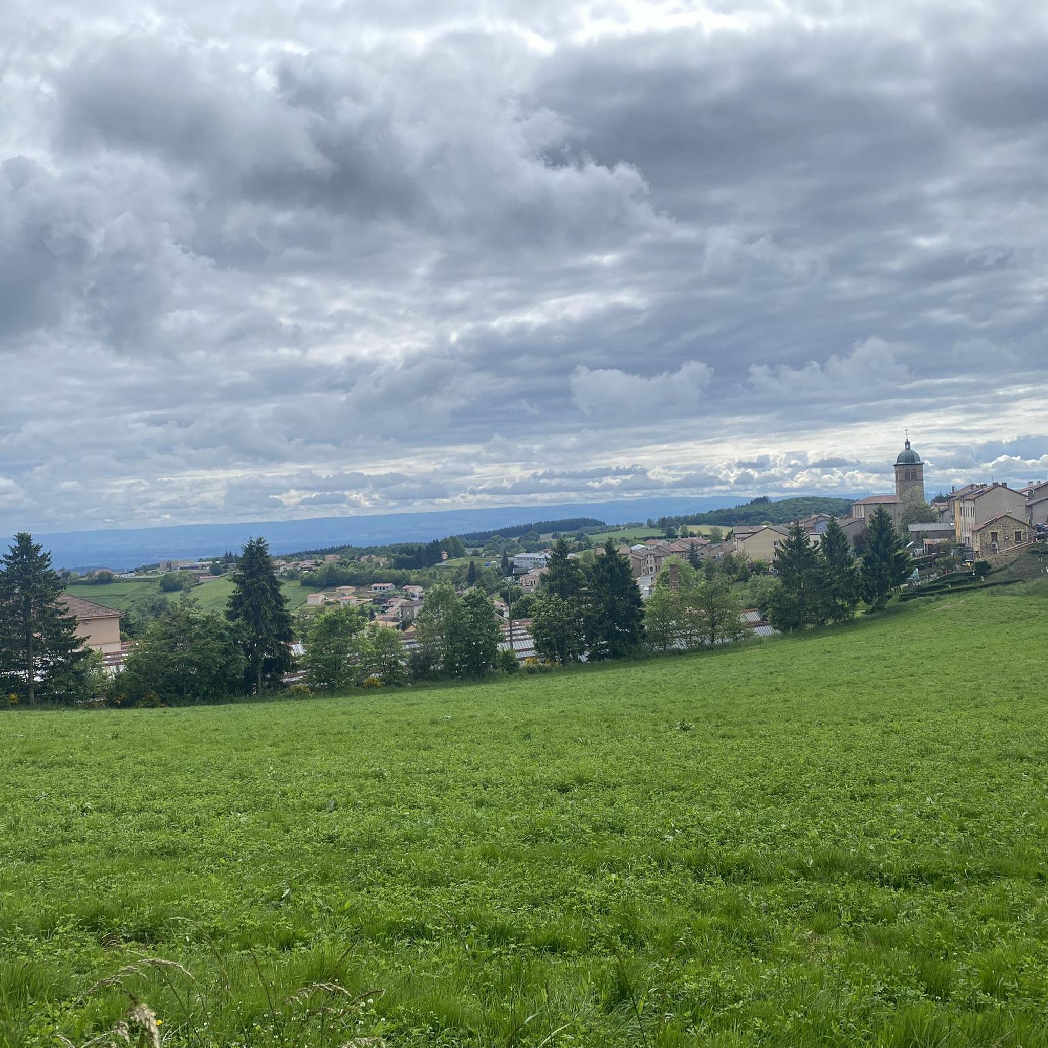
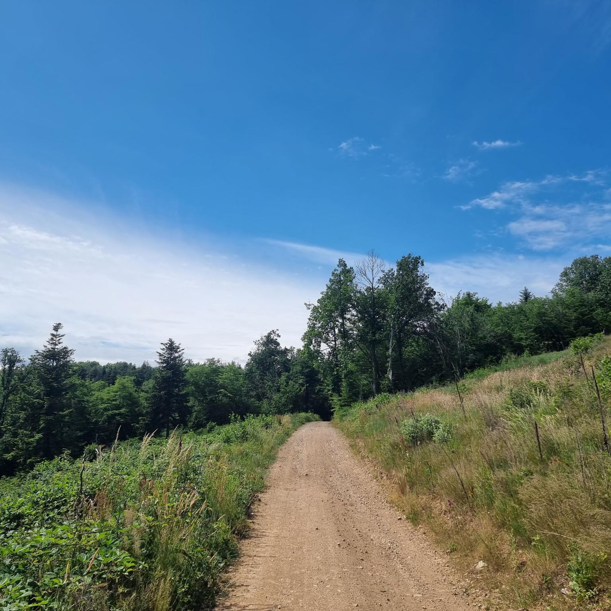
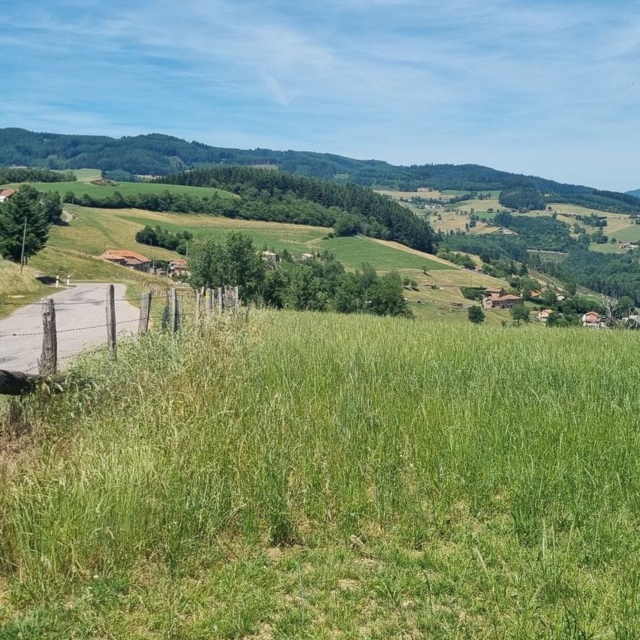
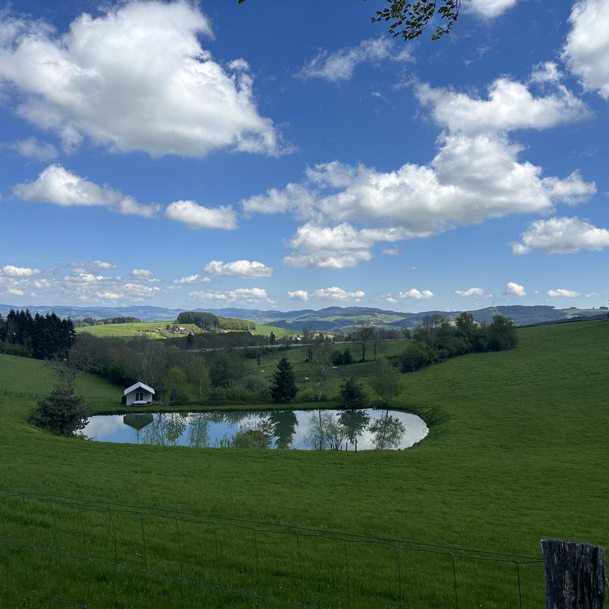
Hiking around Chirassimont offers diverse landscapes characterized by verdant forests, picturesque countryside, and varied terrain. The region features trails that wind through woodlands and ascend to viewpoints like the Crêt de Montmiront, providing expansive views. Some routes traverse ridges, while others explore lower elevations, with the Monts du Forez visible from certain vantage points.
Best hiking trails around Chirassimont
- The most popular hiking route is Hiking loop from Machézal, a 7.2 miles (11.6 km) trail that takes 3 hours…
Last updated: May 15, 2026
4.0
(1)
14
hikers
11.6km
03:26
350m
350m
Moderate hike. Good fitness required. Easily-accessible paths. Suitable for all skill levels.
6
hikers
Hard hike. Very good fitness required. Easily-accessible paths. Suitable for all skill levels.

Sign up for free
3.7
(3)
11
hikers
17.9km
05:05
410m
410m
Hard hike. Very good fitness required. Easily-accessible paths. Suitable for all skill levels.
3.0
(1)
3
hikers
7.01km
01:57
130m
130m
Easy hike. Great for any fitness level. Easily-accessible paths. Suitable for all skill levels.
4.0
(3)
3
hikers
7.03km
01:58
140m
140m
Easy hike. Great for any fitness level. Easily-accessible paths. Suitable for all skill levels.
Get access to more routes and recommendations from other explorers.
Sign up for free
Already have an account?
Our route recommendations are based on thousands of hikes, rides, and runs completed by other people on komoot.
Start today with a free account
Your next adventure awaits.
Login or Signup
Tips from the Community

A table to test for your meal on the heights of the Loire
0
0


Sarron Castle is located in the commune of Fourneaux in the French department of Loire. It took this name at the beginning of the 20th century, and was known until then under the name Les Forges. The name Sarron comes from the family who occupied it for more than 350 years. The parish of Fourneaux was divided into two parts, Fourneaux Vernand (named after a hamlet located to the west of the village) and Fourneaux Sarron for the North East part; the sharing was done through the middle of the church. This name of Sarron given to the part of the village where the Château des Forges is located gradually led to the abandonment of the name Les Forges. Source: Wikipedia
0
0

Pretty church in the middle of Violay
0
0
http://www.restaurantlechene.com A very good restaurant, cuisine, service and very pleasant staff - the stop was worth it...
0
0
Beautiful statue of Napoleon approaching the road bearing his name: The Napoleon route corresponds to the route taken by Napoleon I at the beginning of the Hundred Days period on his return from his exile on the island of Elba
0
0

Pretty long pass on the Tarare side with a constant slope around 5%. Delimits the watershed line between the Rhône and the Loire. Do not hesitate to climb to Mont Boussuivre by extending a few hundred meters and climb to the top of the Matagrin tower to enjoy a magnificent view of the whole region.
0
0
Frequently Asked Questions
How many hiking trails are available around Chirassimont?
There are nearly 120 hiking routes around Chirassimont, catering to various skill levels. This includes 30 easy routes, 63 moderate routes, and 24 difficult trails, ensuring options for everyone from casual walkers to experienced hikers.
What kind of terrain can I expect on hikes in Chirassimont?
The terrain around Chirassimont is diverse, featuring verdant forests, picturesque countryside, and varied elevation changes. You'll find trails winding through woodlands, ascending to viewpoints like the Crêt de Montmiront for expansive views, and traversing ridges. Some routes also offer glimpses of the Monts du Forez in the distance.
Are there any easy, family-friendly hikes in Chirassimont?
Yes, Chirassimont offers several easy routes suitable for families. For instance, the Saint cyr de Valorges loop from Saint-Cyr-de-Valorges is an easy 7 km trail. Another accessible option is the Château de Sarron loop from Château de Sarron, also around 7 km, which is great for a leisurely walk.
What are some notable natural features or landmarks to see while hiking?
Hikers can discover several interesting features. The region is known for its forests and viewpoints, such as the Crêt de Montmiront, offering panoramic vistas. You might also encounter the impressive Pont Marteau viaduct on the Circuit du Viaduc de Pont Marteau. For a relaxing stop, the Lac des Sapins is a beautiful artificial lake surrounded by forests.
Are there any circular hiking routes in the Chirassimont area?
Yes, many of the trails around Chirassimont are circular routes, perfect for exploring the region without retracing your steps. Examples include the moderate Hiking loop from Machézal, which explores local forests and countryside, and the easy Saint cyr de Valorges loop from Saint-Cyr-de-Valorges.
What do other hikers say about the trails in Chirassimont?
The hiking routes in Chirassimont are highly rated by the komoot community, with an average score of 4.4 stars from over 165 reviews. More than 1,100 hikers have used komoot to explore the varied terrain, often praising the quiet woodlands and picturesque countryside.
Are there any challenging hikes for experienced trekkers?
Yes, for experienced hikers seeking a challenge, there are several difficult routes. The Le Chêne Restaurant, Violay – Violay Church loop from Saint-Cyr-de-Valorges is a difficult 18.1 km path featuring varied terrain and significant elevation changes. Another demanding option is the Montée du Trou loop from Saint-Just-la-Pendue, a 17.9 km trail with notable elevation gains.
Can I find viewpoints with panoramic views on the trails?
Absolutely. Many routes in Chirassimont lead to elevated points offering expansive views. The Crêt de Montmiront, for example, provides stunning panoramic views of the surrounding villages and countryside. Some circuits also traverse crests that offer open vistas, and from certain points, you can see the Monts du Forez.
Are there any specific trails that follow old railway lines?
Yes, the Circuit du Viaduc de Pont Marteau, which starts in Sainte-Colombe-sur-Gand, follows an old railway line. A highlight of this route is crossing the impressive Pont Marteau viaduct, which stands 50 meters high and stretches 320 meters long.
What other attractions are near Chirassimont that I could visit after a hike?
Beyond hiking, you can explore cultural and natural attractions. The Lac des Sapins is great for relaxation. Historically, the Château de la Roche on the Loire, the Château de St Marcel de Félines, and the Château de l'Aubépin are within reach for cultural diversions.
Are there any mountain passes I can hike to or through in the area?
Yes, the region features several mountain passes. You can find trails that go through or near passes like Pilon Pass (727 m) and Col des Cassettes (622 m), offering varied terrain and scenic views.
Most popular attractions around Chirassimont

Get inspired with the komoot mobile app


Explore more
Browse the best Hikes in other regions.
