The best road cycling routes around Grammond
4.2
(135)
2,830
riders
116
rides
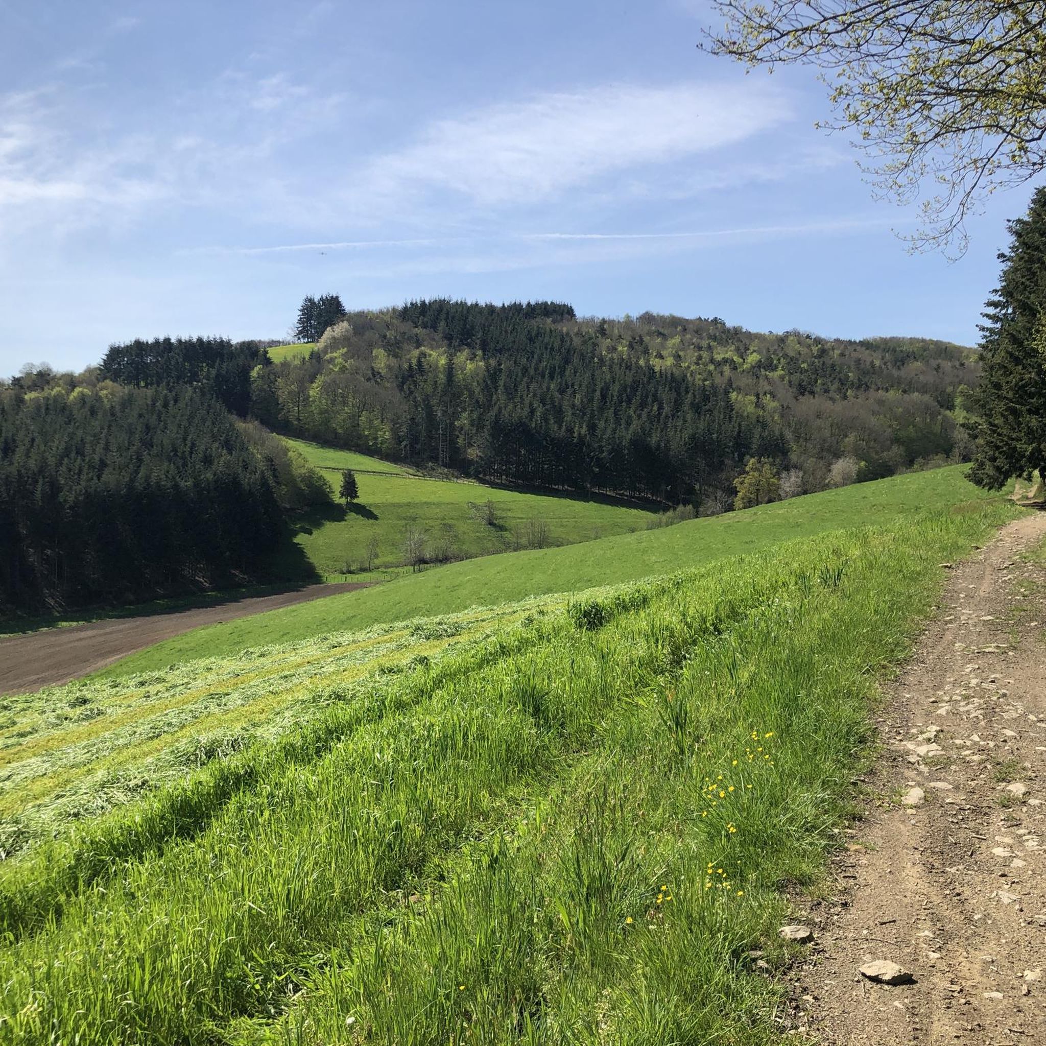
Road cycling routes around Grammond, a rural commune in the Loire department of France, offer diverse landscapes and undulating terrain. Situated at altitudes ranging from 599 meters to 885 meters, the area presents varied challenges and scenic vistas within the Monts du Lyonnais. Cyclists can expect small carriageable roads winding through fields, forests, and elevated areas, featuring both difficult climbs and rewarding descents. The region's topography includes crests and plateaus, providing a range of experiences for road cyclists.
Best road…
Last updated: June 28, 2026
5.0
(5)
82
riders
31.9km
01:45
600m
600m
Moderate road ride. Good fitness required. Some segments of this route may be unpaved and difficult to ride.
22
riders
54.6km
02:47
940m
940m
Hard road ride. Very good fitness required. Mostly well-paved surfaces and easy to ride.

Sign up for free
17
riders
37.0km
01:59
680m
680m
Moderate road ride. Good fitness required. Some segments of this route may be unpaved and difficult to ride.
12
riders
65.2km
03:01
710m
710m
Moderate road ride. Good fitness required. Mostly well-paved surfaces and easy to ride.
10
riders
46.3km
02:24
840m
840m
Moderate road ride. Good fitness required. Mostly well-paved surfaces and easy to ride.
Get access to more routes and recommendations from other explorers.
Sign up for free
Already have an account?
Our route recommendations are based on thousands of hikes, rides, and runs completed by other people on komoot.
Start today with a free account
Your next adventure awaits.
Login or Signup

Tips from the Community

Beautiful body of water
0
0


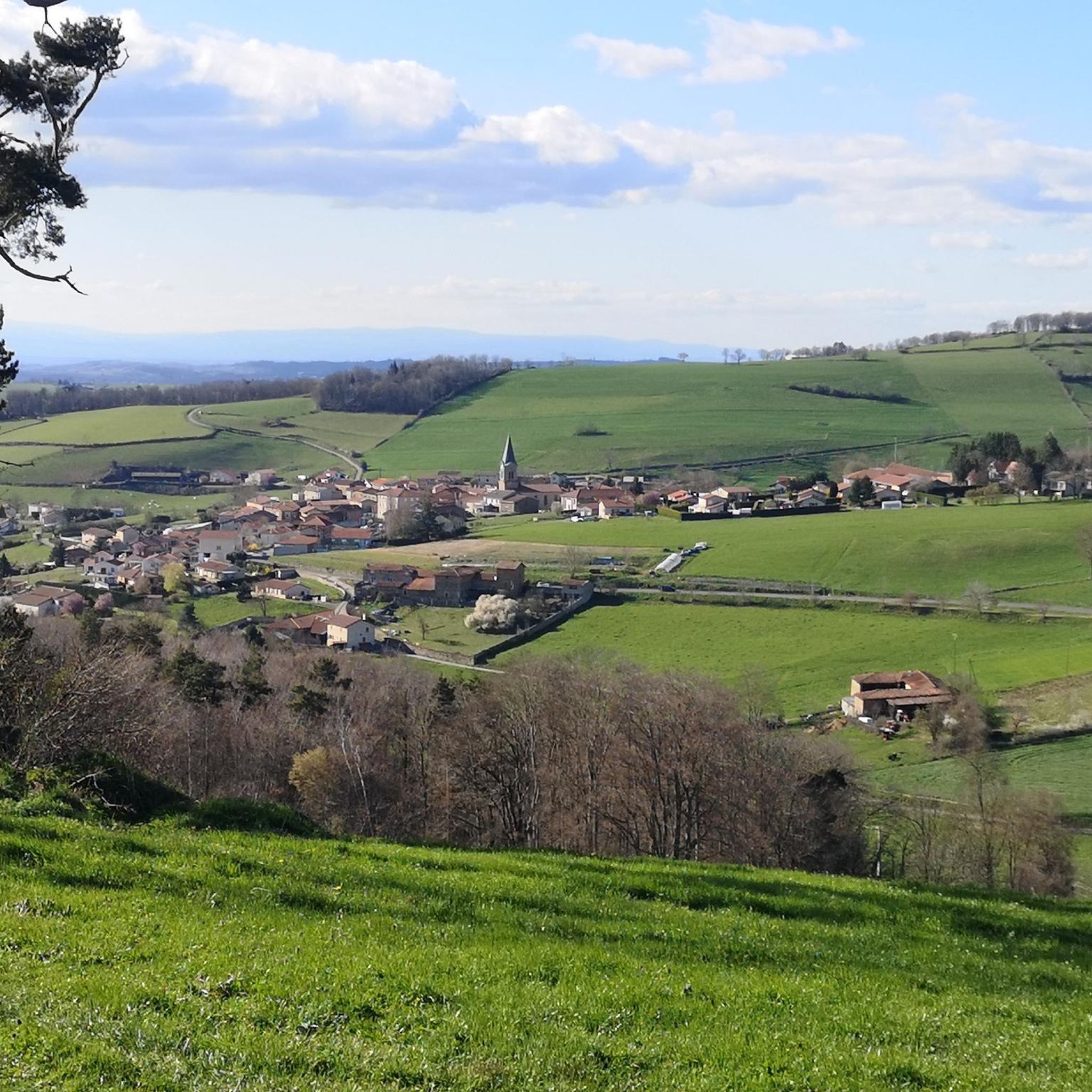
Upon arriving at Saint-Symphorien-sur-Coise, you cannot miss the imposing church that dominates the village. The building, classified as a Historic Monument, has undergone a major renovation. This collegiate church is remarkable for its style but also particularly for its unusual shape. Indeed, the cramped terrain did not allow for the construction of the nave, which traditionally gives its monuments a cross shape.
0
0

on the watershed between the ocean and the Mediterranean
0
0

At the exit of Aveize, view towards Saint-Laurent-de-Chamousset
0
0
https://chateaudesaconay.fr/ Castle existing since the 14th century, currently being restored.
0
0
Quiet crossroads suitable for a short break.
0
0

Accessible drinking water point (tap). Toilets next door
0
0
Frequently Asked Questions
What is the typical terrain and difficulty for road cycling around Grammond?
Road cycling around Grammond, nestled in the Monts du Lyonnais, offers diverse and undulating terrain. You'll find a mix of small carriageable roads winding through fields, forests, and elevated areas. The routes feature both challenging climbs and rewarding descents, with altitudes ranging from 599 to 885 meters. There are options for all skill levels, including 5 easy, 65 moderate, and 38 difficult routes.
How much elevation gain can I expect on road cycling routes in Grammond?
The road cycling routes in Grammond are known for their varied elevation. For example, the Col de la Gachet – Monts du lyonnais sud loop from La Gimond, a moderate route, features approximately 570 meters of elevation gain. More challenging routes, like the Bellegarde-en-Forez Castle – Haute Rivoire loop from La Gimond, can involve nearly 1000 meters of ascent, providing significant challenges for experienced cyclists.
What scenic views or natural features can I expect to see while cycling in Grammond?
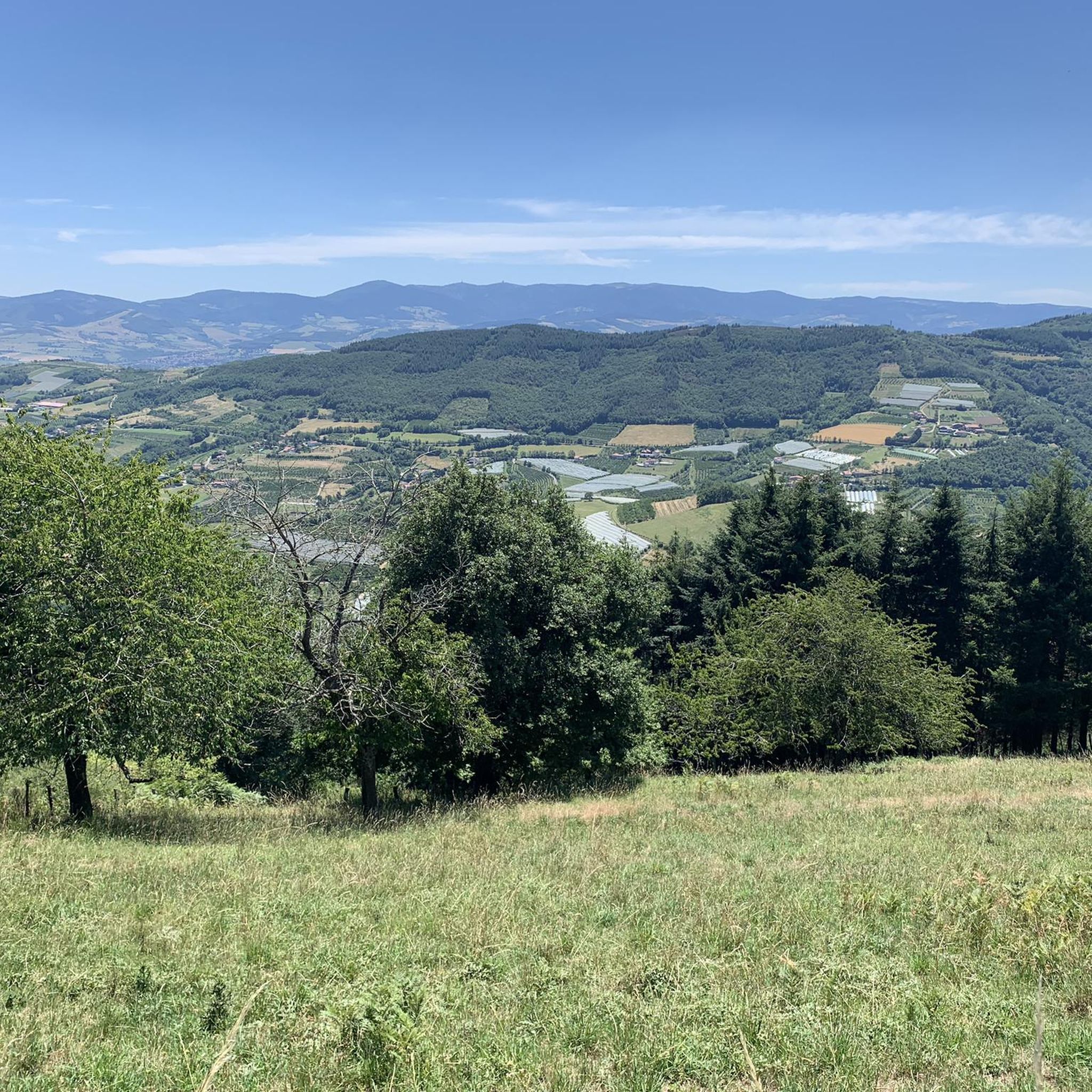
Grammond offers picturesque rural charm with magnificent views. Cyclists can enjoy vistas of the Loire valley and, on clear days, even the Alps. The routes traverse crests and plateaus, passing through a mix of fields and forests, including the colorful atmosphere of autumn beech forests and the magic of fir forests. The region's natural beauty is a key highlight of the cycling experience.
Are there any notable landmarks or attractions along the road cycling routes in Grammond?
Yes, there are several interesting points to explore. You might encounter historical settlements like Saint-Symphorien-sur-Coise, or natural features such as the Gimond Dam. For panoramic views, consider visiting the White cross viewpoint. The area also features unique spots like the Exit from La Cave du Curé.
How many road cycling routes are there in Grammond, and what are their typical lengths?
There are over 100 road cycling routes around Grammond. These routes vary significantly in length. For instance, the Étang d'Orlu loop from La Gimond is about 21 km, while the Saconay Castle loop from La Gimond extends to approximately 54 km. You can find routes catering to both shorter rides and longer, more challenging excursions.
Are there many circular road cycling routes available in Grammond?
Yes, many of the road cycling routes in Grammond are designed as circular loops, allowing you to start and finish at the same point. This is convenient for exploring the region without needing to arrange return transport. Examples include the Col de la Gachet – Monts du lyonnais sud loop from La Gimond and the Sainte Catherine – View of the Monts du Lyonnais loop from Fontanès.
What do other road cyclists enjoy the most about road cycling in Grammond?
The area is highly rated by the komoot community, with an average score of 4.3 stars from over 120 reviews. Cyclists often praise the rural charm, the mix of fields and forests, and the challenging yet rewarding climbs that offer expansive views. The varied terrain and options for different skill levels are also frequently highlighted.
Is Grammond suitable for family-friendly road cycling?
While many routes in Grammond feature difficult climbs and undulating terrain, there are also easier options available. With 5 routes classified as 'easy', families with some cycling experience can find suitable paths. It's recommended to check the specific route details for elevation gain and distance to ensure it matches your family's ability level.
What is the best time of year for road cycling in Grammond?
The region's natural beauty, including autumn beech forests, suggests that spring, summer, and early autumn would be ideal. These seasons generally offer pleasant weather conditions for cycling, allowing you to fully appreciate the scenic vistas and diverse landscapes without extreme temperatures or challenging winter conditions.
Is there parking available for cyclists in Grammond?
As a rural commune, Grammond and its surrounding villages typically offer various parking options, especially near trailheads or village centers. It's advisable to check local signage upon arrival or consult specific route descriptions for recommended starting points with parking facilities.
Can I reach road cycling routes in Grammond using public transport?
Grammond is a rural commune, and public transport options might be limited compared to larger urban centers. While some regional bus services may connect to nearby towns, direct access to specific route starting points might require a car. It's best to research local bus schedules or consider driving to a suitable starting location.
Most popular attractions around Grammond

Get inspired with the komoot mobile app


Explore more
Browse the best Road cycling routes in other regions.
