The best walks and hikes around Garancières
4.6
(398)
1,957
hikers
248
hikes
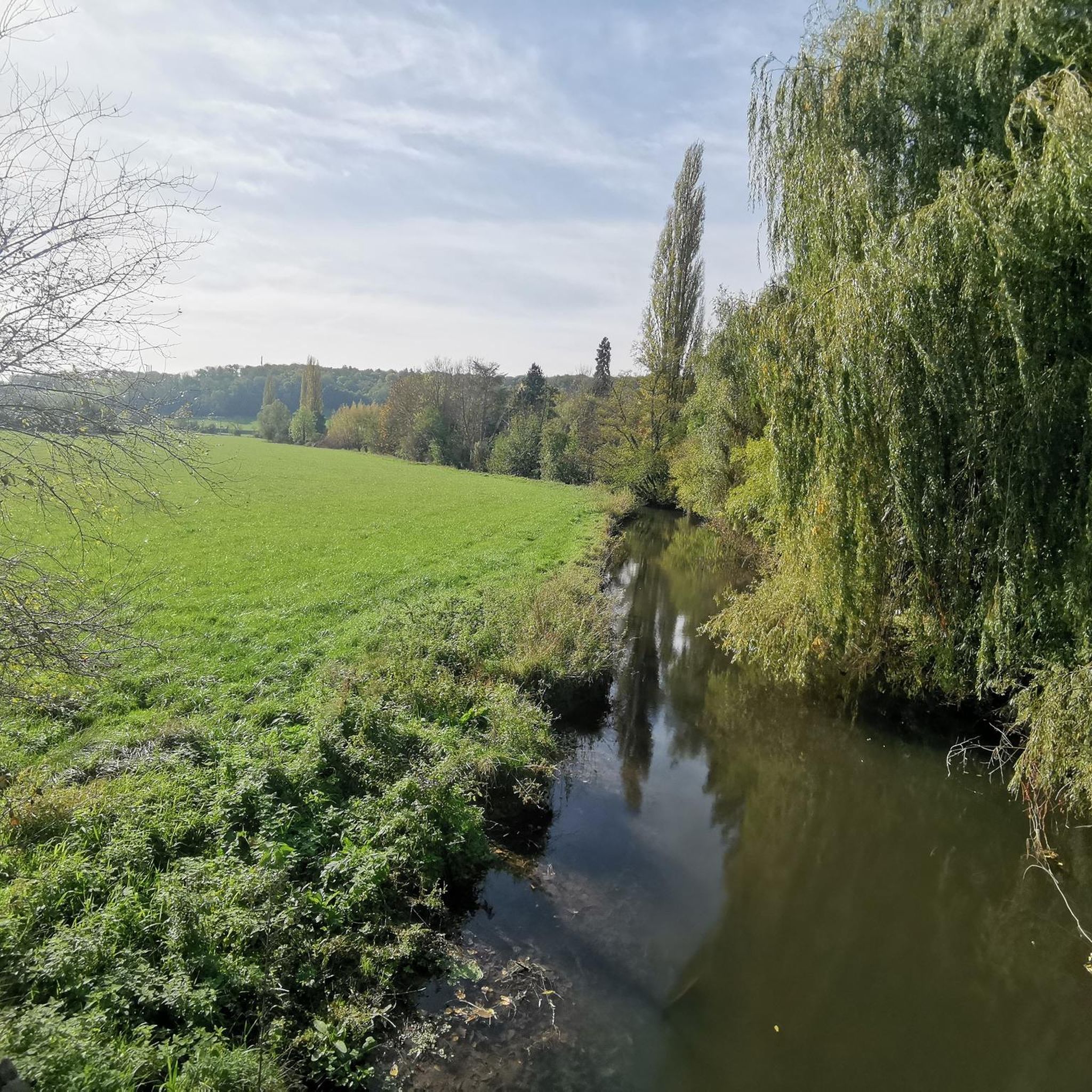
Hiking around Garancières offers access to well-defined local trails within the commune and proximity to significant natural areas in the Yvelines department. The terrain features varied landscapes, including local marked routes and extensive forests. This region provides opportunities to explore both the immediate surroundings of Garancières and larger natural parks like Forêt de Rambouillet and Vallée de Chevreuse. The area is characterized by a mix of woodlands, open countryside, and picturesque valleys.
Best hiking trails around Garancières
- The most popular…
Last updated: July 1, 2026
10
hikers
12.0km
03:11
110m
110m
Moderate hike. Good fitness required. Easily-accessible paths. Suitable for all skill levels.
9
hikers
2.27km
00:35
10m
10m
Easy hike. Great for any fitness level. Easily-accessible paths. Suitable for all skill levels.

Sign up for free
5.0
(1)
7
hikers
18.5km
04:58
220m
220m
Moderate hike. Good fitness required. Easily-accessible paths. Suitable for all skill levels.
5.0
(1)
5
hikers
Moderate hike. Good fitness required. Easily-accessible paths. Suitable for all skill levels.
3
hikers
25.5km
06:49
290m
290m
Hard hike. Very good fitness required. Easily-accessible paths. Suitable for all skill levels.
Get access to more routes and recommendations from other explorers.
Sign up for free
Already have an account?
Our route recommendations are based on thousands of hikes, rides, and runs completed by other people on komoot.
Start today with a free account
Your next adventure awaits.
Login or Signup




Tips from the Community

Pond where it is very pleasant to walk in the heart of the forest of the four pillars.
0
0

Pleasant in spring when the plants are awakening :)
0
0

Beautiful forest between Garancières and Bazainville with many trails, perfect for gravel or mountain biking. Don't miss the small, very wild Pimardière pond. A small path allows you to go around it.
1
0


Not easy on a mountain bike even with electric assistance but splendid forest with lots of sand, ups and downs!
0
0

Warning: Beautiful but impractical by bike
0
0
Frequently Asked Questions
How many hiking trails are there around Garancières?
Garancières offers a wide variety of hiking opportunities, with over 240 trails available. These routes cater to different preferences, including 84 easy, 151 moderate, and 10 difficult options.
What is the terrain like for hiking around Garancières?
The terrain around Garancières is quite varied, featuring a mix of well-defined local trails, extensive forests, and picturesque valleys. You'll encounter woodlands, open countryside, and some gentle elevation changes, particularly on longer routes. For example, the Rando Didier... – Carrefour de Bourdonné loop includes about 220 meters of elevation gain through varied landscapes.
Are there easy hiking trails suitable for beginners or short walks?
Yes, Garancières has plenty of easy options. The local mairie has developed several marked trails, including the 'Parcours fontaine Quénette' which is about 2.3 km and takes roughly 1 hour. Another easy option is the Étang de la Pimardière loop from Béhoust, a 2.2 km route with minimal elevation gain.
Are there circular hiking routes available in Garancières?
Many of the trails around Garancières are circular, allowing you to start and end at the same point. Popular circular routes include the Étang de la Pimardière loop from Garancières, which is 8.9 km, and the longer Four Pillars Forest – Étang de la Pimardière loop, covering 16 km.
What natural landmarks or points of interest can I see while hiking?
While hiking around Garancières, you can discover several natural and historical points of interest. Highlights include the serene Rompu Pond and the larger Étang de Hollande. You might also encounter unique natural monuments like the Ascension Oak or follow the Ponts Quentin Stream. For a glimpse into history, the Gallo-Roman sanctuary is also nearby.
Are there family-friendly hiking options in Garancières?
Yes, Garancières offers several family-friendly hiking options. The local marked trails, such as the 'Parcours des grenouilles' (Frog Trail) at 3.3 km, are designed to be accessible and enjoyable for all ages. These shorter, well-defined routes are perfect for families looking to explore the immediate surroundings.
Can I bring my dog on the hiking trails around Garancières?
Many of the hiking trails in and around Garancières are dog-friendly, especially those in the extensive forest areas like Forêt de Rambouillet. It's always recommended to keep your dog on a leash, especially in nature reserves or areas with wildlife, and to check local signage for any specific restrictions.
What is the best season for hiking in Garancières?
Garancières offers enjoyable hiking experiences throughout much of the year. Spring and autumn provide pleasant temperatures and beautiful scenery with blooming flowers or vibrant foliage. Summer is also suitable, especially for shaded forest trails. Winter hiking is possible, but some paths might be muddy or slippery, so appropriate footwear is essential.
Is parking available at the trailheads in Garancières?
Yes, parking is generally available at key starting points for hikes in Garancières. The local marked trails often originate from central locations like the church or Place de la Croix Rouge, where parking facilities are typically provided for visitors. For routes extending into larger natural areas, designated parking spots are usually found near forest entrances or villages.
What do other hikers enjoy most about hiking in Garancières?
The komoot community highly rates hiking in Garancières, with an average score of 4.6 stars from over 340 reviews. Hikers often praise the well-defined local trails, the peaceful atmosphere of the woodlands, and the varied landscapes that offer a refreshing escape into nature. The accessibility to larger natural parks like Forêt de Rambouillet is also a significant draw.
What is the typical duration of hikes around Garancières?
Hikes around Garancières vary significantly in duration. Shorter local trails, like the 'Parcours fontaine Quénette', can be completed in about 1 hour. Moderate routes, such as the Étang de la Pimardière loop from Garancières (8.9 km), typically take around 2 hours and 20 minutes. Longer, more challenging trails, like the Four Pillars Forest – Étang Neuf loop (25.4 km), can take over 6 hours.
Can I reach hiking trails in Garancières by public transport?
Garancières is accessible by public transport, which can help you reach the starting points of various hiking trails. While specific bus routes or train stations might require a short walk to the trailheads, the commune's infrastructure supports access for those relying on public transport to explore the area.
Most popular routes around Garancières
Most popular attractions around Garancières

Get inspired with the komoot mobile app


Explore more
Browse the best Hikes in other regions.
