The best road cycling routes around Chevrières
4.2
(148)
3,638
riders
230
rides
Road cycling routes around Chevrières are characterized by diverse landscapes within the Oise department of France. The region features several significant forests, including Foret d'Halatte, Forêt de Compiègne, and Forêt de Chantilly, offering varied terrain for cyclists. Mont Pagnotte, a 222-meter hill, provides elevated views, while the Automne river adds to the scenic environment. This area provides a mix of routes through woodlands and open countryside.
Best road cycling routes around Chevrières
- The most popular road cycling route is Col…
Last updated: June 28, 2026
4.6
(21)
265
riders
42.5km
02:02
570m
570m
Moderate road ride. Good fitness required. Mostly well-paved surfaces and easy to ride.
3.0
(1)
74
riders
86.5km
04:28
1,520m
1,520m
Hard road ride. Very good fitness required. Mostly well-paved surfaces and easy to ride.

Sign up for free
5.0
(1)
47
riders
33.7km
01:46
550m
550m
Moderate road ride. Good fitness required. Some segments of this route may be unpaved and difficult to ride.
5.0
(5)
82
riders
31.9km
01:45
600m
600m
Moderate road ride. Good fitness required. Some segments of this route may be unpaved and difficult to ride.
34
riders
30.4km
01:27
410m
410m
Moderate road ride. Good fitness required. Mostly well-paved surfaces and easy to ride.
Get access to more routes and recommendations from other explorers.
Sign up for free
Already have an account?
Our route recommendations are based on thousands of hikes, rides, and runs completed by other people on komoot.
Start today with a free account
Your next adventure awaits.
Login or Signup
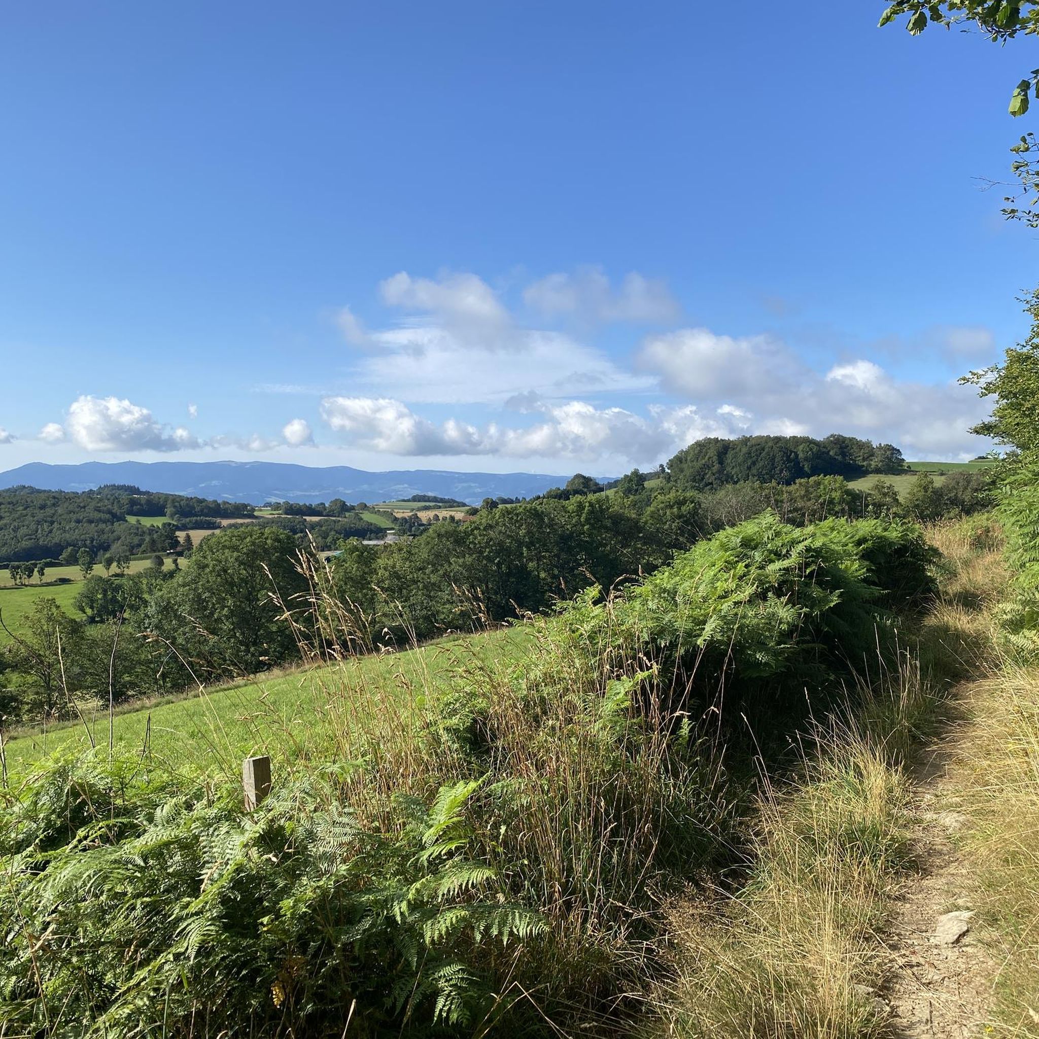
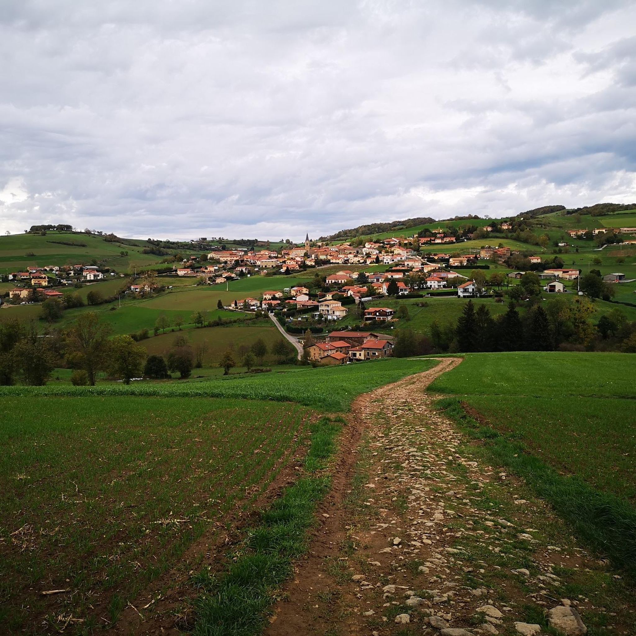

Tips from the Community

on the watershed between the ocean and the Mediterranean
0
0

No matter which way you climb, every climb has its charm.
0
0


Classic Col des Monts. Steady climb
0
0


The Col de Malval, in the Monts du Lyonnais, rises to an altitude of 732 metres. Even though the climb is mainly through forest, a few clearings allow you to enjoy the views of Lyon and the Alps.
1
0
Frequently Asked Questions
How many road cycling routes are available around Chevrières?
There are over 220 road cycling routes around Chevrières, offering a wide variety of options for different skill levels and preferences. The komoot community has explored more than 3,200 of these routes.
What kind of terrain can I expect on road cycling routes near Chevrières?
The region around Chevrières is characterized by diverse landscapes. You'll find routes winding through significant forests such as Foret d'Halatte, Forêt de Compiègne, and Forêt de Chantilly. The terrain includes rolling hills, river valleys, and notable ascents like Mont Pagnotte, which offers panoramic views. While many surfaces are well-paved, some segments may be unpaved.
Are there routes suitable for beginners or those looking for an easy ride?
Yes, Chevrières offers a selection of easier road cycling routes. There are 16 routes specifically graded as 'easy', perfect for those new to road cycling or looking for a more relaxed experience. These routes typically feature less elevation gain and shorter distances.
What are some of the more challenging road cycling routes in the area?
For experienced cyclists seeking a challenge, Chevrières has 63 routes graded as 'difficult'. These routes feature significant elevation gains and longer distances. An example is the Route des Crêtes – Vers le col de Malval loop from Chazelles-sur-Lyon, which covers 86.5 km with over 1,500 meters of elevation gain.
Are there any loop road cycling routes around Chevrières?
Yes, many of the road cycling routes around Chevrières are designed as loops, allowing you to start and end at the same point. For instance, the popular Col de la Gachet – Monts du lyonnais sud loop from La Gimond is a moderate 42.2 km loop, and the Fontanes Castle – Col de la Gachet loop from Chazelles-sur-Lyon offers a challenging 81 km circuit.
What scenic viewpoints or landmarks can I discover along the road cycling routes?
Cyclists can enjoy several scenic viewpoints and historical landmarks. Mont Pagnotte, the highest point in Valois, offers rewarding vistas within the Halatte Forest. You can also find highlights such as the White cross viewpoint, the Gimond Dam, and the Col de la Gachet. The Automne river also adds to the picturesque scenery.
Are there any historical sites accessible by road bike near Chevrières?
The region is rich in history. You can cycle near the Royal Abbey of Moncel, a 14th-century site, or explore the remains of the Ognon Gallo-Roman Temple. The Château de la Douye in Béthisy-Saint-Pierre is another notable historical manor. Nearby towns like Compiègne and Senlis also boast palaces, museums, and historic monuments, including Senlis's ruined castle and cathedral, and the extensive Chateau de Chantilly.
Where can I park my car when going road cycling in Chevrières?
While specific parking areas for cyclists are not detailed, you can typically find parking in the towns and villages that serve as starting points for routes, such as Chevrières itself or nearby larger towns like Compiègne and Senlis. Look for public parking lots or designated areas.
Is public transport available to reach road cycling routes in Chevrières?
Public transport options to reach Chevrières and its surrounding areas may include regional bus services or train connections to nearby larger towns like Compiègne, from where you might cycle to the route starting points. It's advisable to check local transport schedules and bicycle carriage policies in advance.
Are there cafes or places to stop for refreshments along the routes?
Yes, many routes pass through or near charming villages and towns where you can find cafes, bakeries, and restaurants. Larger towns like Compiègne and Senlis, which are easily accessible from many routes, offer a wider range of amenities for cyclists to refuel and relax.
What is the best time of year for road cycling in Chevrières?
The spring and autumn months generally offer the most pleasant conditions for road cycling in Chevrières, with mild temperatures and beautiful scenery as the forests change colors. Summer can also be enjoyable, though it's wise to start earlier in the day to avoid the midday heat. Winters can be cold and potentially wet, making some routes less comfortable.
What do other road cyclists enjoy the most about road cycling in Chevrières?
The area is highly rated by the komoot community, with an average score of 4.2 stars from over 120 reviews. Reviewers often praise the diverse landscapes, the variety of routes catering to different fitness levels, and the scenic beauty of the extensive forests and rolling hills.
Most popular attractions around Chevrières

Get inspired with the komoot mobile app


Explore more
Browse the best Road cycling routes in other regions.
