The best MTB trails around Saint-Denis-Sur-Coise
4.2
(180)
842
riders
161
rides
Mountain biking around Saint-Denis-Sur-Coise offers a diverse landscape characterized by rolling hills, forested areas, and river valleys within the Monts du Lyonnais region. The terrain features varied elevation changes, with routes traversing both open countryside and more secluded woodland paths. Riders can expect a mix of ascents and descents, providing a dynamic experience across different difficulty levels. The area's natural features include crests and a dam, contributing to scenic viewpoints along the trails.
Best mountain bike trails around Saint-Denis-Sur-Coise
- The…
Last updated: July 4, 2026
4.8
(9)
10
riders
39.9km
03:41
1,010m
1,020m
Hard mountain bike ride. Very good fitness required. Suitable for all skill levels.
5.0
(4)
11
riders
22.7km
02:07
520m
520m
Moderate mountain bike ride. Good fitness required. Suitable for all skill levels.

Sign up for free
4.0
(1)
9
riders
Moderate mountain bike ride. Good fitness required. Suitable for all skill levels.
5.0
(1)
5
riders
Hard mountain bike ride. Very good fitness required. Advanced riding skills necessary.
5.0
(1)
2
riders
Moderate mountain bike ride. Good fitness required. Advanced riding skills necessary.
Get access to more routes and recommendations from other explorers.
Sign up for free
Already have an account?
Our route recommendations are based on thousands of hikes, rides, and runs completed by other people on komoot.
Start today with a free account
Your next adventure awaits.
Login or Signup
Tips from the Community

Beautiful body of water
0
0

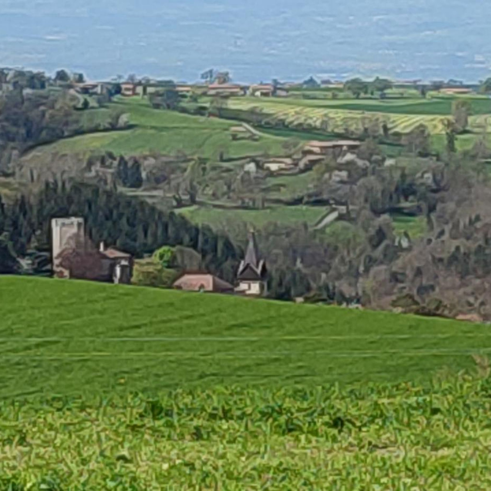
Perched on its promontory, the Chapelle de la Peur (Chapel of Fear) watches over the reliefs of the Monts du Lyonnais. Built in 1875 following a vow made during the Franco-Prussian War, it owes its name to the unique story of its creation. A place of contemplation, it remains associated with childhood fears that people came here to appease. From the orientation table, you can enjoy a wide panorama of the Coise valley and the surrounding landscapes.
0
0


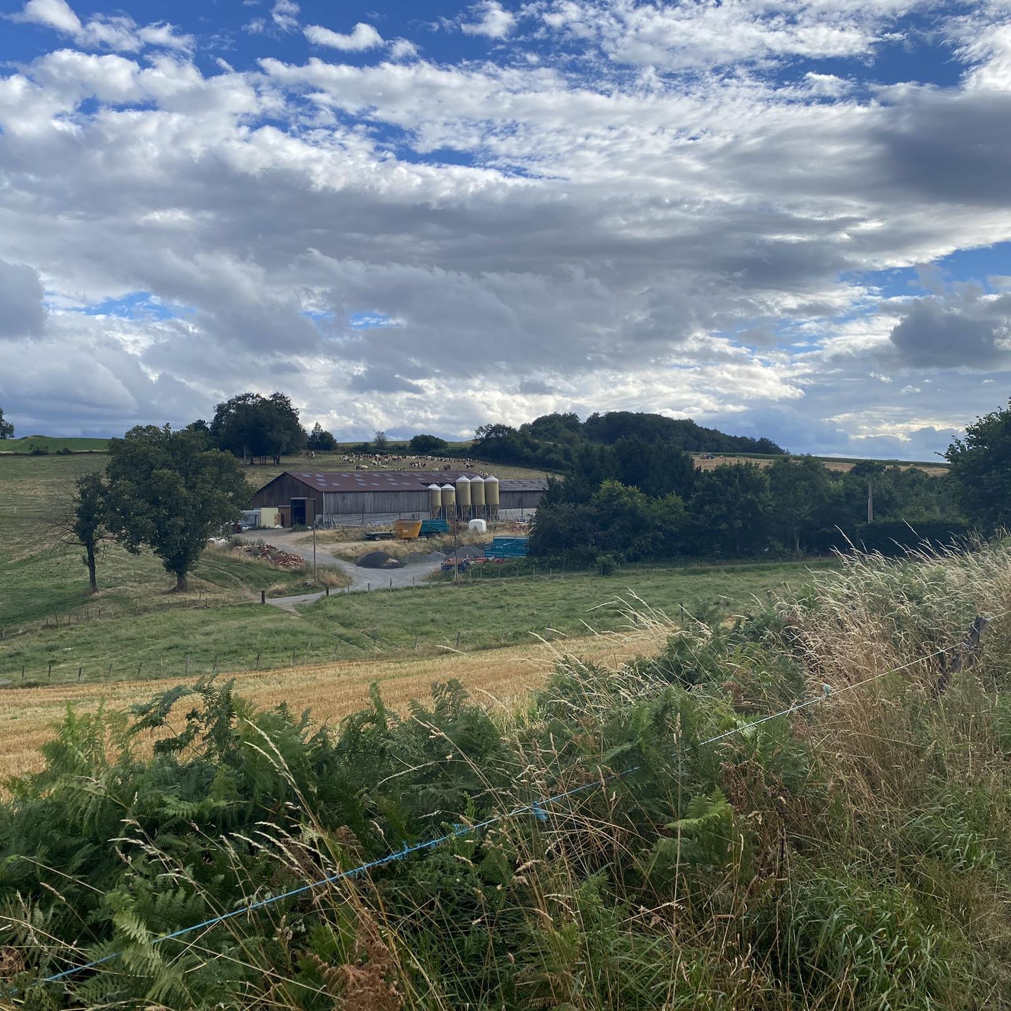
Small hamlet, perfect for a stopover
0
0

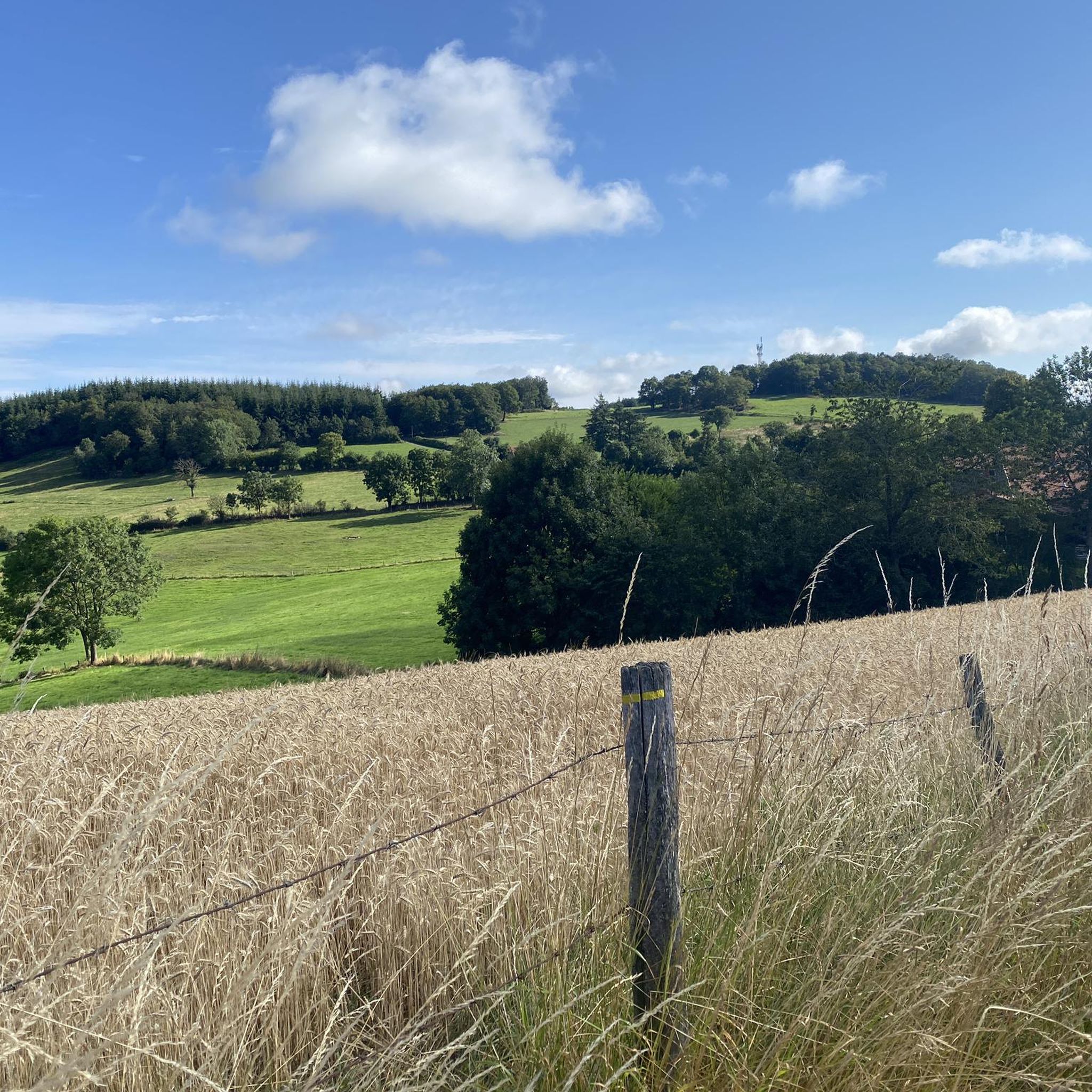
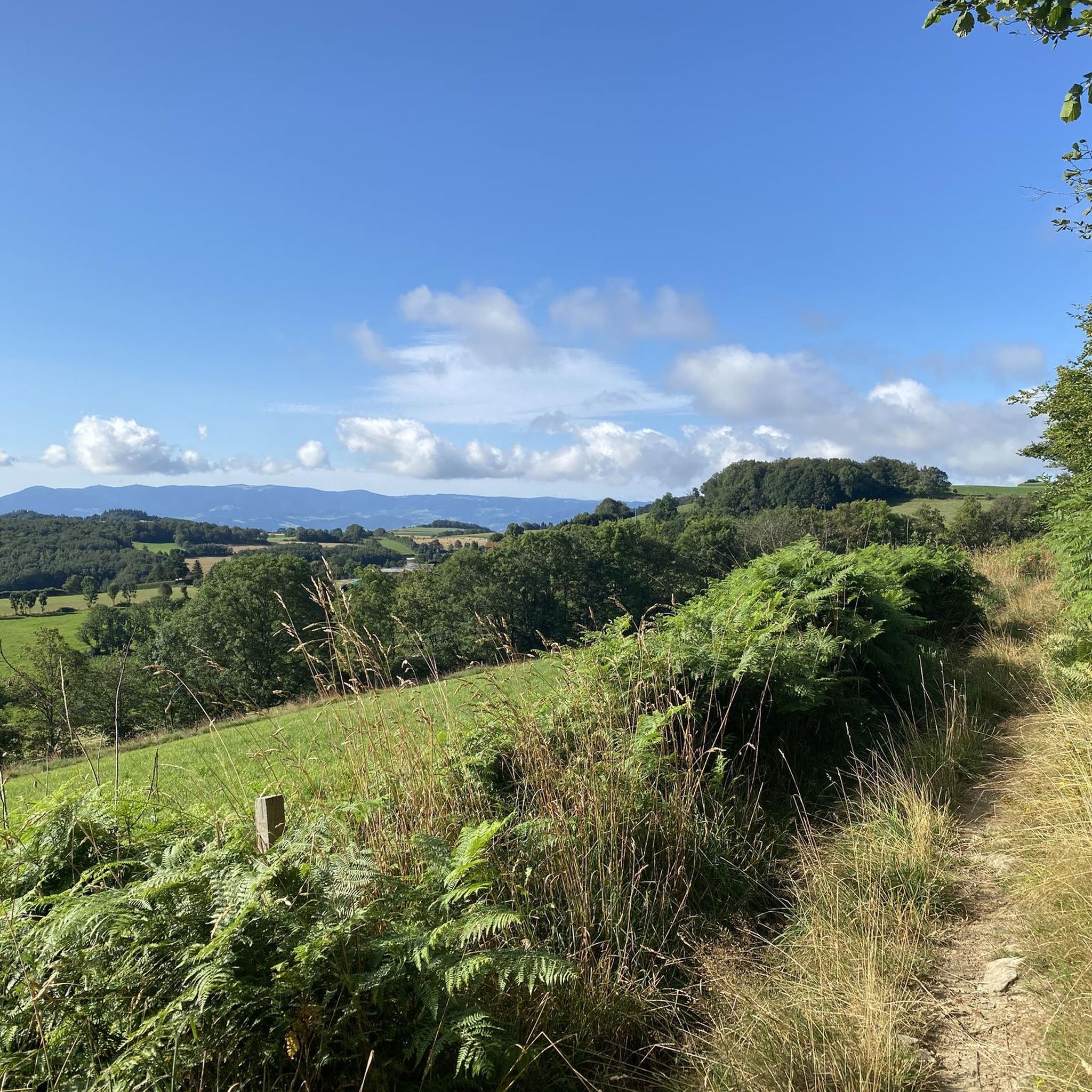
Beautiful undergrowth, green place, view of Pilat and the Monts du Lyonnais
0
0

The Signal site, an emblematic highest point in the Monts du Lyonnais, located at 934 meters, equipped with a belvedere and an orientation table.
0
0

Interesting is the Cassini terminal, where the first surveys were carried out in 1758 to draw up the map of Lyon, a moment in history.
0
0
The 2 orientation tables at the Signal de St-André (at 934m) offer a panorama of the Rhône valley and the Metropolis of Lyon, and on clear days as far as the Alps.
0
0
Frequently Asked Questions
How many mountain bike trails are available around Saint-Denis-Sur-Coise?
There are over 160 mountain bike trails in the Saint-Denis-Sur-Coise area. This includes a diverse range of routes, with 11 easy, 118 moderate, and 32 difficult options to explore.
What kind of terrain can I expect when mountain biking in Saint-Denis-Sur-Coise?
The terrain around Saint-Denis-Sur-Coise is characterized by rolling hills, extensive forested areas, and picturesque river valleys within the Monts du Lyonnais region. You'll encounter varied elevation changes, with routes traversing both open countryside and more secluded woodland paths, offering a dynamic mix of ascents and descents.
Are there any beginner-friendly mountain bike trails in the area?
Yes, Saint-Denis-Sur-Coise offers 11 easy mountain bike trails suitable for beginners. These routes typically feature less challenging terrain and elevation, providing a good introduction to mountain biking in the region.
What are some challenging mountain bike routes for experienced riders?
For experienced riders seeking a challenge, there are 32 difficult mountain bike trails. One such route is the Saint-Appolinaire Chapel – La Salette Chapel loop from Saint-Symphorien-sur-Coise, a demanding 39.9 km path connecting two historic chapels with significant elevation gain. Another difficult option is the View of Les A Peri – View of the Countryside loop from Saint-Denis-sur-Coise, which covers 35.8 km.
Are there any circular mountain bike trails in Saint-Denis-Sur-Coise?
Yes, many of the mountain bike trails in the area are circular. For example, the Gimond Dam – Courtine Crest loop from Saint-Symphorien-sur-Coise is a popular moderate 27.8 km circular route. Another option is the Saint-Symphorien-sur-Coise – Gimond Dam loop from Saint-Symphorien-sur-Coise, a 17.5 km circular trail.
What natural features or landmarks can I see along the mountain bike trails?
Many trails offer views of the Gimond Dam, a prominent natural feature in the region. You might also encounter the White cross viewpoint or pass through areas near the Ascent of Mont Morin and Col de la Gachet.
What do other mountain bikers enjoy most about the trails in Saint-Denis-Sur-Coise?
The mountain bike trails in Saint-Denis-Sur-Coise are highly rated by the komoot community, with an average score of 4.2 stars from over 200 reviews. Riders frequently praise the diverse landscape, which includes rolling hills and forested sections, and the well-maintained paths that cater to various skill levels.
Are there any routes that pass by the Gimond Dam?
Yes, several routes incorporate the Gimond Dam. The Gimond Dam – Courtine Crest loop from Saint-Symphorien-sur-Coise and the Saint-Symphorien-sur-Coise – Gimond Dam loop from Saint-Symphorien-sur-Coise are two popular moderate options that feature views of the dam.
Is there a good time of year to go mountain biking in Saint-Denis-Sur-Coise?
Spring and autumn generally offer the most pleasant conditions for mountain biking in Saint-Denis-Sur-Coise, with milder temperatures and vibrant scenery. Summer can also be enjoyable, particularly in the forested sections that provide shade. Winter riding is possible but may require checking local conditions for ice or snow, especially on higher elevations.
Are there any towns or villages near the trails where I can find amenities?
Yes, the town of Saint-Symphorien-sur-Coise is a central point for many routes and offers amenities such as cafes, restaurants, and accommodation. It's a convenient place to start or finish your ride and find refreshments.
What is the longest mountain bike trail in the area?
One of the longer and more challenging routes is the Saint-Appolinaire Chapel – La Salette Chapel loop from Saint-Symphorien-sur-Coise, which spans nearly 40 km and features significant elevation gain, making it suitable for riders looking for an extended adventure.
Are there mountain bike trails with good viewpoints?
Yes, the region offers several trails with scenic viewpoints. The Gimond Dam – Courtine Crest loop from Saint-Symphorien-sur-Coise, for instance, provides excellent views from the Courtine Crest. Additionally, the White cross is a notable viewpoint in the area.
Most popular routes around Saint-Denis-Sur-Coise
Most popular attractions around Saint-Denis-Sur-Coise

Get inspired with the komoot mobile app


Explore more
Browse the best MTB trails in other regions.
