The best road cycling routes around Montchal
4.3
(13)
501
riders
111
rides
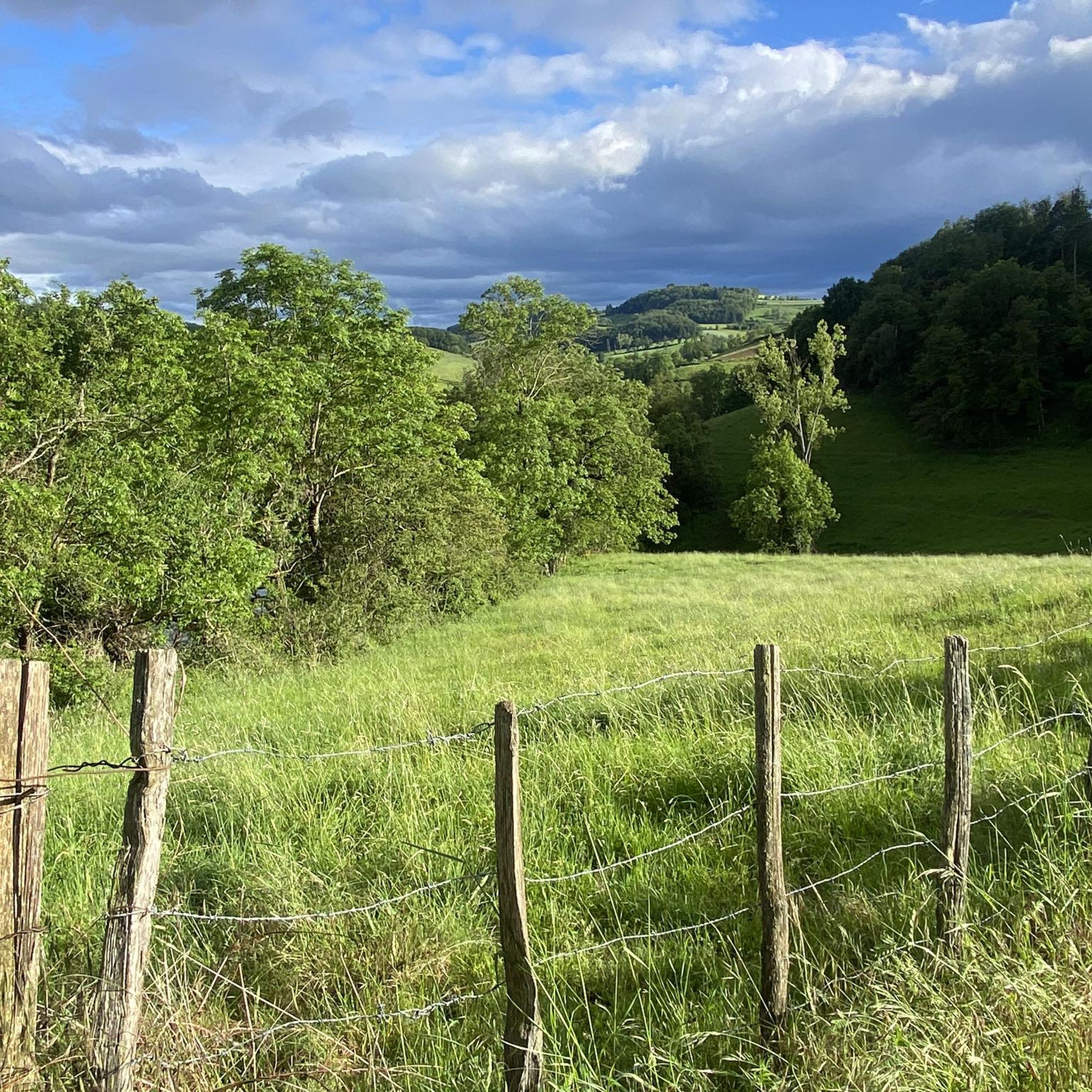
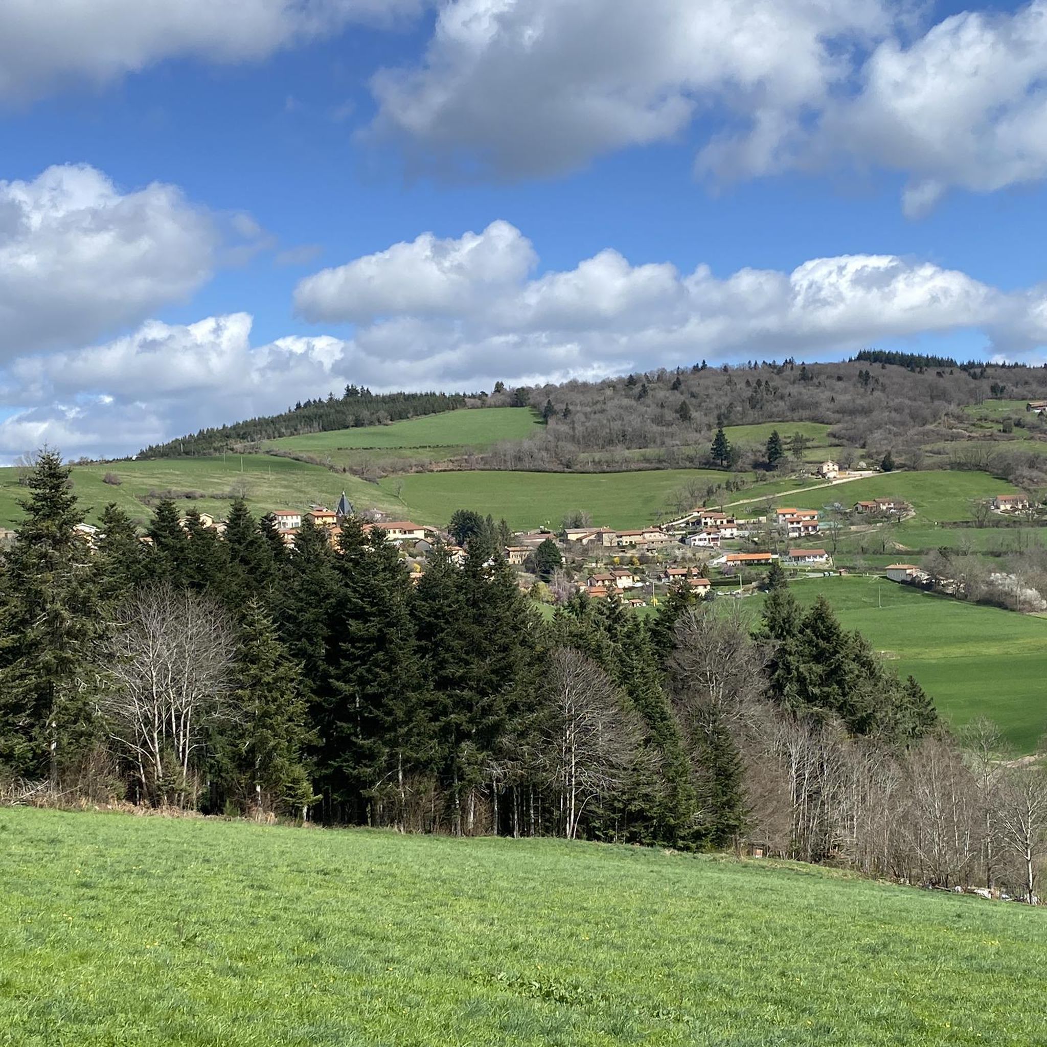
Road cycling routes around Montchal traverse a landscape characterized by rolling hills, river valleys, and historic sites within the Loire department of France. The region features varied elevations, including notable climbs such as the Col de la Croix Cazard, offering diverse challenges for road cyclists. Roads often follow quiet country roads, passing through agricultural areas and alongside natural waterways, with some areas benefiting from well-paved surfaces and low traffic. This varied terrain means cyclists can find routes suited to different…
Last updated: May 20, 2026
16
riders
56.9km
02:42
790m
790m
Moderate road ride. Good fitness required. Mostly well-paved surfaces and easy to ride.
11
riders
49.1km
02:22
630m
630m
Moderate road ride. Good fitness required. Mostly well-paved surfaces and easy to ride.

Sign up for free
10
riders
49.3km
02:24
700m
700m
Moderate road ride. Good fitness required. Mostly well-paved surfaces and easy to ride.
9
riders
Hard road ride. Very good fitness required. Mostly well-paved surfaces and easy to ride.
3.7
(3)
10
riders
52.7km
02:37
810m
810m
Moderate road ride. Good fitness required. Mostly well-paved surfaces and easy to ride.
Get access to more routes and recommendations from other explorers.
Sign up for free
Already have an account?
Our route recommendations are based on thousands of hikes, rides, and runs completed by other people on komoot.
Start today with a free account
Your next adventure awaits.
Login or Signup


Tips from the Community

To see the remains of an old steam locomotive 🚂
0
0
To see the Matagrin tower on the summit of mount Bessuivre
0
0

Center of the village of Chambost-Longessaigne and crossroads between the roads leading to Panissières and Villechenève
0
0

old village with its priory to visit
0
0

It was wonderful on my way #berndscamino https://huettemann.eu/de/2024/02/bergauf-bergab-an-die-loire-berndscamino/
0
0

Water point strategically placed on the roadside (tap)
0
0

The climb to the Croix du Signy from Villechenève is 2km long with a total difference in altitude of around 50m. The average slope is 3% with maximum slopes of 7%.
1
0
The view from a bridge over the Loire. It is a quiet road on the Balbigny/Pinay cycle path.
1
0
Frequently Asked Questions
How many road cycling routes are available around Montchal?
Montchal offers a wide selection of road cycling routes, with over 100 different tours available for exploration. These routes cater to various skill levels, from easy rides to more challenging ascents.
Are there easy road cycling routes suitable for beginners in Montchal?
Yes, Montchal has a few easy road cycling routes perfect for beginners or those looking for a relaxed ride. These routes typically feature gentler gradients and less demanding terrain, allowing you to enjoy the scenery at a comfortable pace. There are 4 easy routes available.
What kind of challenges can advanced road cyclists expect in Montchal?
Advanced road cyclists in Montchal can look forward to routes with significant climbs and varied terrain. Notable challenges include ascents like the Col de la Croix Cazard, which is part of the Col de la Croix Cazard (865 m) – Signy Cross loop from Bussières. There are 28 difficult routes to test your endurance.
Can I find circular road cycling routes in the Montchal area?
Many of the road cycling routes around Montchal are designed as loops, allowing you to start and finish in the same location. Examples include the popular Pont Marteau Viaduct – Pont Marteau loop from Bussières and the Château de Lespinasse loop from Bussières, which offers a scenic ride through historic areas.
What are some scenic viewpoints or attractions to see while road cycling near Montchal?
Road cycling routes around Montchal often pass through picturesque landscapes and near interesting landmarks. You might encounter historic châteaux, river valleys, and agricultural areas. Notable points of interest include the Col de la Croix Cazard (865 m) and the charming settlement of Montrottier.
What is the typical length of road cycling routes around Montchal?
The road cycling routes around Montchal vary significantly in length. You can find shorter rides, such as the Château de Lespinasse loop from Bussières at 21.5 miles (34.6 km), up to longer excursions like the Pont Marteau Viaduct – Pont Marteau loop from Bussières, which spans 55.2 miles (88.9 km).
What is the best time of year for road biking in Montchal?
The best time for road biking in Montchal is typically from spring through early autumn (April to October). During these months, the weather is generally mild and pleasant, with less rainfall and comfortable temperatures for cycling. Summer offers longer daylight hours, but spring and autumn provide cooler conditions and beautiful seasonal scenery.
Are there road cycling routes that pass by cafes or places to stop for refreshments?
While specific cafes are not listed on every route, many road cycling routes in Montchal pass through or near small villages and towns. These often provide opportunities to stop for refreshments, local produce, or a quick break. Planning your route with komoot allows you to identify potential stops along the way.
What do other road cyclists enjoy the most about road cycling in Montchal?
The road cycling experience in Montchal is highly rated by the komoot community, with an average score of 4.3 stars from over 15 reviews. Cyclists often praise the region's diverse terrain, from rolling hills to challenging climbs, and the quiet country roads that wind through scenic agricultural areas and past historic sites.
Are there road cycling routes accessible by public transport in Montchal?
While Montchal is a rural area, some starting points for road cycling routes might be accessible via regional public transport options. It's advisable to check local bus schedules or train connections to nearby towns like Bussières, which serves as a common starting point for several routes, including the Loire Bridge – Pinay Dyke loop from Bussières.
Where can I find parking for road cycling routes in Montchal?
Many road cycling routes around Montchal start from villages or towns where public parking is available. For example, Bussières is a frequent starting point for tours like the Roadbike loop from Rozier-en-Donzy. It's recommended to check the specific starting point of your chosen route for detailed parking information.
Most popular attractions around Montchal

Get inspired with the komoot mobile app


Explore more
Browse the best Road cycling routes in other regions.
