The best road cycling routes around Villethierry
4.6
(24)
767
riders
242
rides
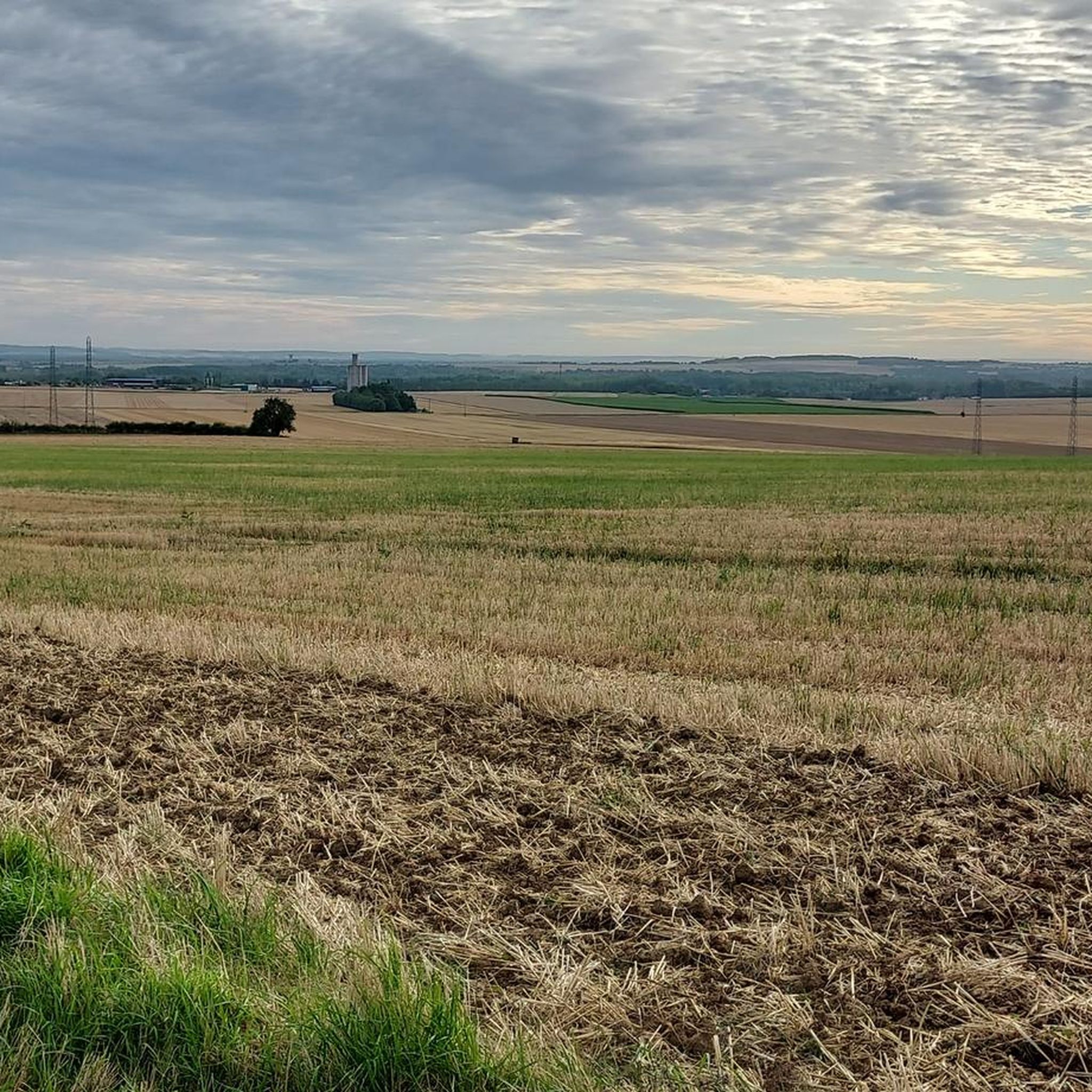
Road cycling routes around Villethierry traverse a landscape characterized by gently rolling hills and agricultural plains, offering a mix of open roads and routes through small villages. The region features a network of quiet country roads suitable for various cycling paces. Cyclists can expect to encounter historical landmarks such as castles and churches, providing points of interest along the way. The terrain generally presents moderate elevation changes, making it accessible for a range of road cycling abilities.
Best road cycling…
Last updated: July 5, 2026
124
riders
79.9km
03:33
440m
440m
Moderate road ride. Good fitness required. Mostly well-paved surfaces and easy to ride.
4.6
(5)
45
riders
65.0km
02:38
350m
360m
Moderate road ride. Good fitness required. Mostly well-paved surfaces and easy to ride.

Sign up for free
13
riders
36.8km
02:07
210m
210m
Moderate road ride. Good fitness required. Some segments of this route may be unpaved and difficult to ride.
4.0
(1)
6
riders
47.3km
02:03
340m
340m
Moderate road ride. Good fitness required. Mostly well-paved surfaces and easy to ride.
6
riders
78.2km
03:11
370m
370m
Moderate road ride. Good fitness required. Mostly well-paved surfaces and easy to ride.
Get access to more routes and recommendations from other explorers.
Sign up for free
Already have an account?
Our route recommendations are based on thousands of hikes, rides, and runs completed by other people on komoot.
Start today with a free account
Your next adventure awaits.
Login or Signup




Tips from the Community

The former fortress and picturesque medieval town of Moret-sur-Loing lies on the edge of the Fontainebleau Forest and the peacefully flowing Loing River. This postcard-perfect town is indeed extremely photogenic. The most beautiful views are from the old bridge or from the right bank of the Loing.
1
0


You can also swim in the Loing River here. A lively, picturesque spot.
0
0

Very pretty entrance to the city
0
0
Very pretty crossing of Moret from the station.
0
0
A lovely unpaved greenway. From Moret-sur-Loin, for 15 km, the surface is a little rough. 10 km before Nemours, the track has been resurfaced and is a nice, smooth gravel. We passed through without any problems on gravel bikes with a baby trailer. Our friends passed through on city bikes with a trailer. I'm including a photo to give you an idea of the surface.
0
0

A pleasant little provincial town on the banks of the river
1
0
I replaced my gravel wheel with this wooden one...
0
0
Frequently Asked Questions
How many road cycling routes are available around Villethierry?
There are over 230 road cycling routes in the Villethierry region, catering to various skill levels. You'll find a mix of easy, moderate, and a few challenging options to explore the area's gently rolling hills and agricultural plains.
What kind of terrain can I expect on road cycling routes in Villethierry?
The terrain around Villethierry is characterized by gently rolling hills and open agricultural plains. Routes often follow quiet country roads, passing through small villages. While there are moderate elevation changes, the landscape is generally accessible for a range of road cycling abilities.
Are there easy road cycling routes suitable for beginners in Villethierry?
Yes, Villethierry offers a good selection of routes suitable for beginners. Out of the total routes, 58 are classified as easy, providing a gentle introduction to road cycling in the region. These routes typically feature minimal elevation gain and smooth surfaces.
What are some popular moderate road cycling routes in the area?
Many cyclists enjoy the moderate routes in Villethierry. A popular choice is the Church and Castle of Paley – Moret Bridge loop from Blennes, which is 40.5 miles (65.3 km) long and winds through rural settings, passing historical structures and river crossings. Another option is the Saint-Valérien Town Hall – Parish Hall of Courtenay loop from Dollot, covering 55.6 km.
Are there challenging road cycling routes for experienced riders?
While the region is known for its gentle terrain, there are a few more challenging road cycling routes available. Three routes are specifically classified as difficult, offering more significant elevation changes and longer distances for experienced riders seeking a greater challenge.
What historical landmarks or points of interest can I see along the routes?
Road cycling routes around Villethierry often pass by historical landmarks. You might encounter structures like the Château de Chevry or the Saint-Martin Church of Misy-sur-Yonne. Some routes also offer views towards the Remains of the Old Bridge of Pont-sur-Yonne.
What is the typical length of road cycling routes in Villethierry?
The road cycling routes in Villethierry vary in length. Many popular routes range from 29 to 49 miles (47 to 79 km). For example, the Saint-Valérien Town Hall – View of Pont-sur-Yonne loop from Dollot is 29.2 miles (47.1 km), while the Saint-Valérien Town Hall – The former Courtenay station loop from Dollot extends to 78.2 km.
When is the best time of year for road biking in Villethierry?
The best time for road biking in Villethierry is typically during spring, summer, and early autumn. These seasons offer pleasant temperatures and generally drier conditions, making for more enjoyable rides through the open agricultural lands and quiet village roads. Winter can bring colder temperatures and potentially wet conditions.
Are there loop routes available for road cyclists?
Yes, many of the road cycling routes around Villethierry are designed as loops, allowing you to start and finish at the same point. This is convenient for planning your ride, especially if you're driving to a starting location. Examples include the Vallery Castle and Church – Halle d'Egreville loop from Blennes and the Church and Castle of Paley – Moret Bridge loop from Blennes.
What do other road cyclists say about the routes in Villethierry?
The road cycling routes in Villethierry are highly rated by the komoot community, with an average score of 4.7 stars from over 10 reviews. Cyclists often praise the region for its quiet country roads, scenic agricultural landscapes, and the opportunity to discover charming villages and historical points of interest along the way.
Most popular routes around Villethierry
Most popular attractions around Villethierry

Get inspired with the komoot mobile app


Explore more
Browse the best Road cycling routes in other regions.
