The best road cycling routes around La Freissinouse
4.7
(259)
6,945
riders
146
rides
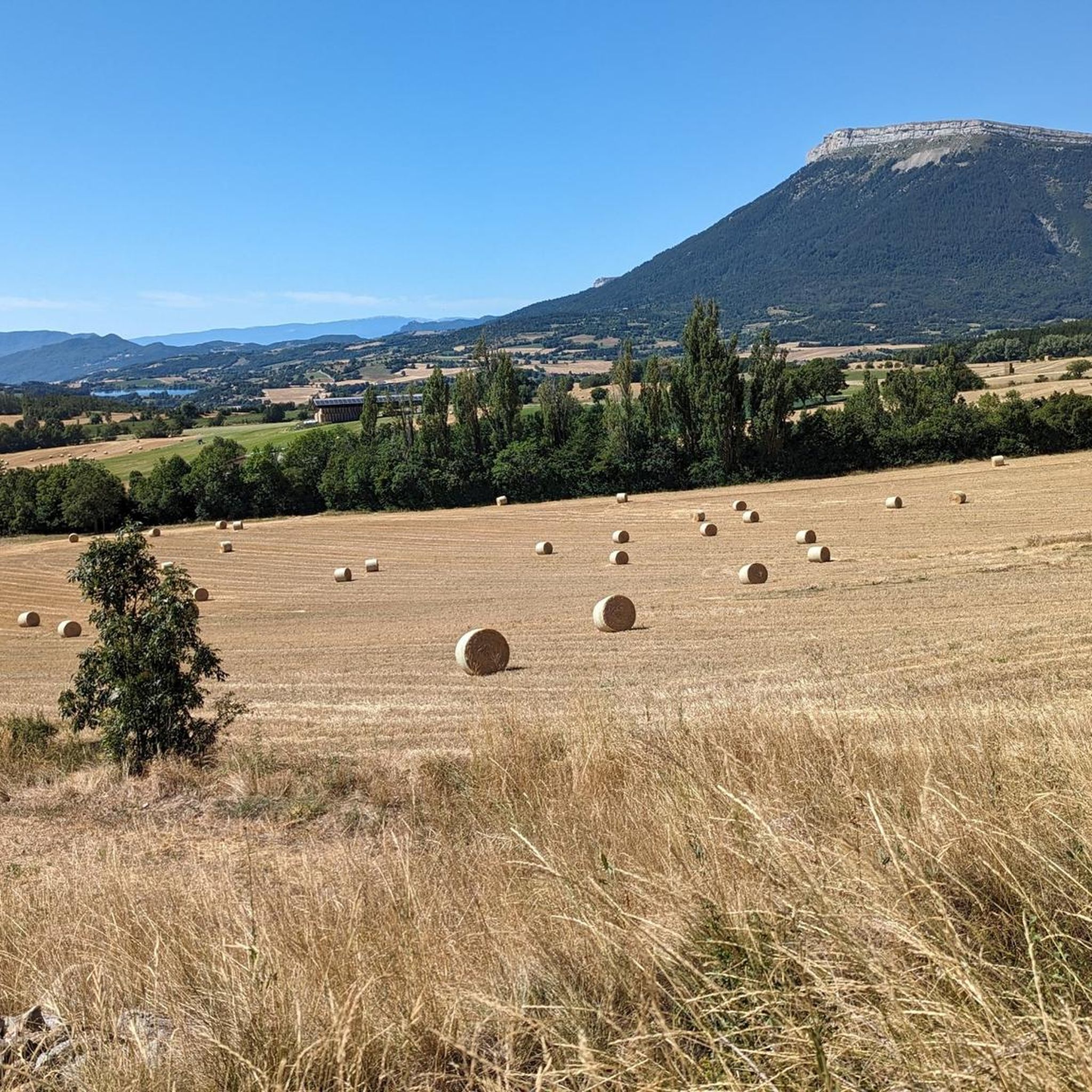
Road cycling around La Freissinouse, located in France's Hautes-Alpes department, offers diverse terrain for cyclists. The region features varied landscapes, from the relatively flat "sillon de Gap" valley, shaped by ancient glaciers, to challenging climbs into the surrounding mountains. Accessible departmental roads, such as the D994 and D118, provide routes for exploring the area. This geological history contributes to the varied landscapes encountered by road cyclists.
Best road cycling routes around La Freissinouse
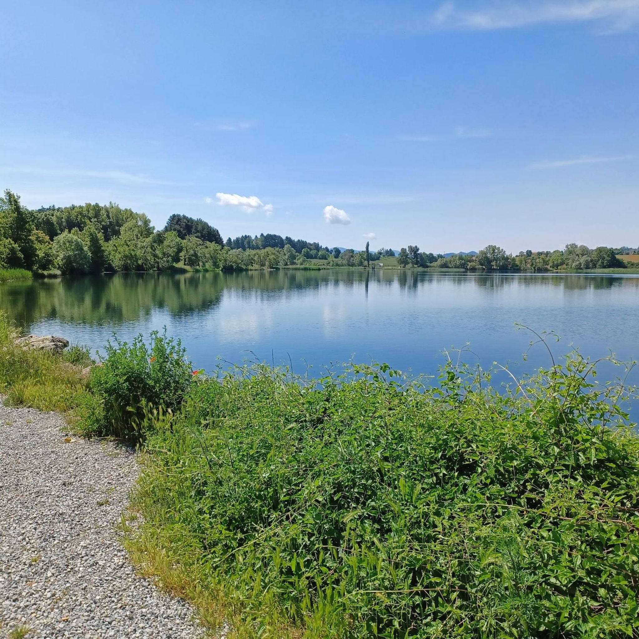
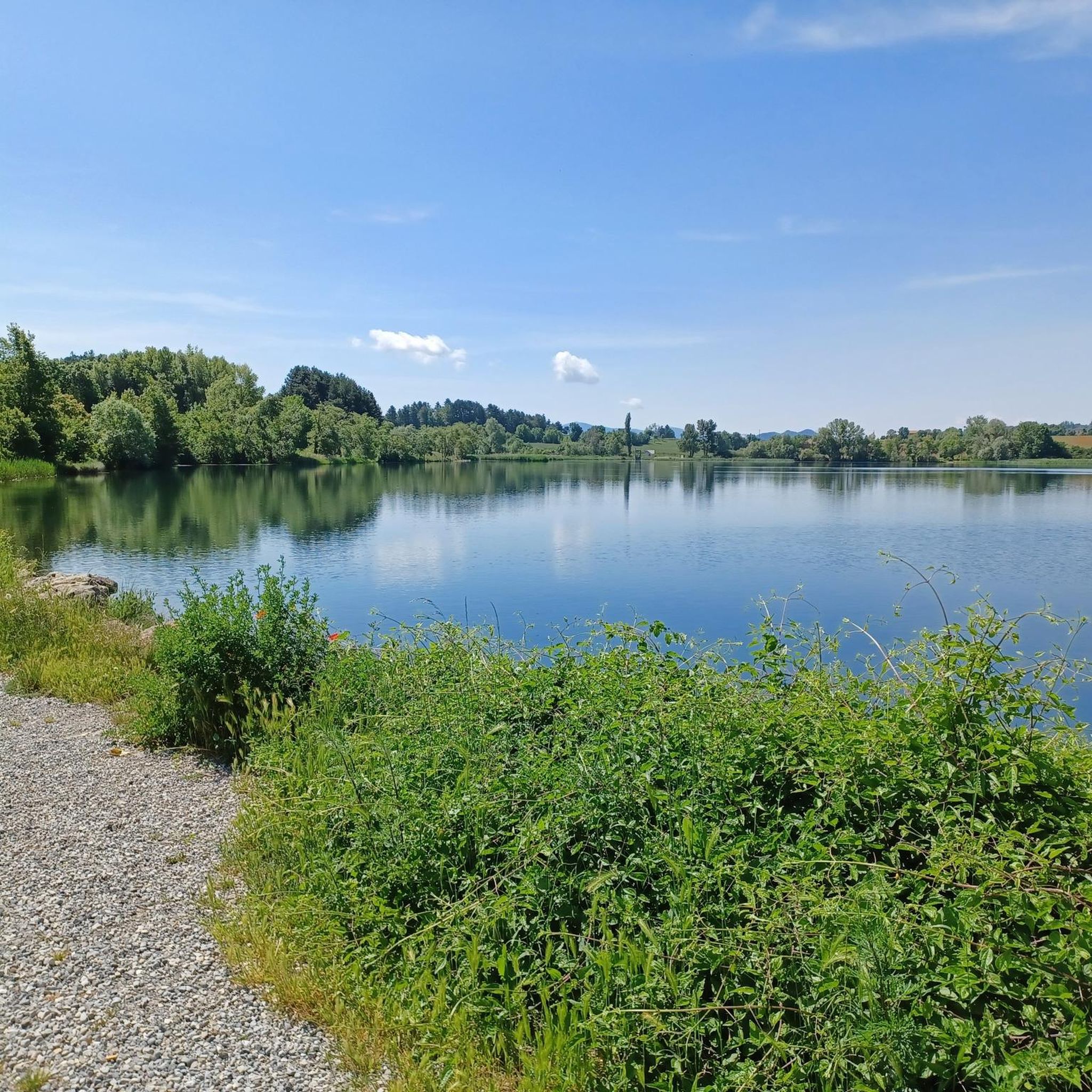
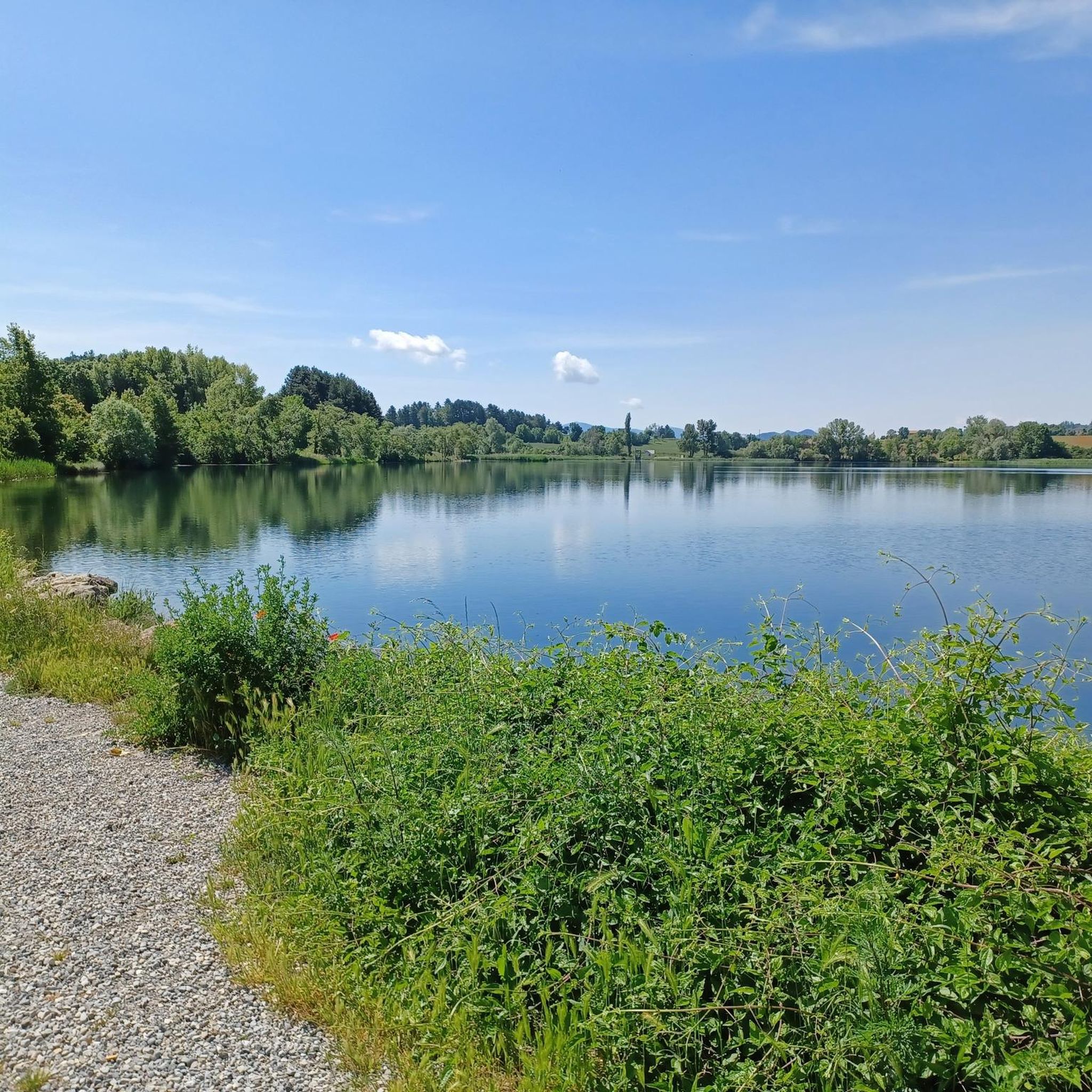
- The most popular road cycling route is Lac de Pelleautier par Neffe - loop, a 9.4 miles (15.1 km) trail that takes 50 minutes to complete. This easy route circles a notable lake.
- Another top favourite among local road cyclists is Espréaux Pass – Col de Faye loop from Pelleautier, a difficult 57.9 miles (93.2 km) path. This route includes significant elevation gain through mountain passes.
- Local road cyclists also love the Pelleautier Lake loop from La Freissinouse, a 19.8 miles (31.9 km) trail leading through varied terrain around the lake, often completed in about 1 hour 44 minutes.
- Road cycling around La Freissinouse is defined by mountainous terrain, glacial valleys like the "sillon de Gap," and proximity to lakes. The network offers options for easy, moderate, and difficult ability levels.
- The routes in La Freissinouse are highly rated by the komoot community with an average score of 4.6 stars from more than 200 reviews. More than 6,000 road cyclists have used komoot to explore La Freissinouse's varied terrain.
Last updated: July 13, 2026
4.7
(15)
289
riders
63.4km
03:08
910m
910m
Hard road ride. Very good fitness required. Mostly well-paved surfaces and easy to ride.
112
riders
80.1km
03:42
910m
910m
Hard road ride. Very good fitness required. Mostly well-paved surfaces and easy to ride.

Sign up for free
59
riders
88.2km
04:13
1,180m
1,180m
Hard road ride. Very good fitness required. Mostly well-paved surfaces and easy to ride.
4.5
(2)
46
riders
33.5km
01:55
730m
730m
Moderate road ride. Good fitness required. Mostly well-paved surfaces and easy to ride.
4.0
(1)
72
riders
100.0km
05:34
2,020m
2,020m
Hard road ride. Very good fitness required. Some segments of this route may be unpaved and difficult to ride.
Get access to more routes and recommendations from other explorers.
Sign up for free
Already have an account?
Our route recommendations are based on thousands of hikes, rides, and runs completed by other people on komoot.
Start today with a free account
Your next adventure awaits.
Login or Signup


Tips from the Community

The Col d'Espreaux is a climb located in the Hautes-Alpes region. This climb is 12.2 km long, with a total elevation gain of 585 m. The Col d'Espreaux has an average gradient of 4.8%.
8
0
Ancient building maintained in excellent condition.
4
0
The water here is very good and fresh.
7
0
You can safely drink the water here.
7
0
Ascent on a secondary road, very easy slopes. Be careful of the slightly slippery asphalt.
3
0
The Col de Foureyssasse from La Saulce is a climb located in the Hautes-Alpes region. This climb is 7 km long, with a total elevation gain of 461 m. The Col de Foureyssasse from La Saulce has an average gradient of 6.6%.
6
0
The Col de Faye is a mountain pass in the Southern Alps, located in the department of Hautes-Alpes at an altitude of approximately 922 to 924 meters. It connects the Buëch valley to the Durance valley — between the municipalities of Savournon and Ventavon — via the departmental road D21.
15
0
The Col de Faye is a mountain pass in the Southern Alps, located in the Hautes-Alpes department at an altitude of approximately 922 to 924 meters. It connects the Buëch valley to the Durance valley — between the municipalities of Savournon and Ventavon — via the departmental road D21.
13
0
Frequently Asked Questions
How many road cycling routes are available around La Freissinouse?
There are over 150 road cycling routes around La Freissinouse, offering a wide range of options for different skill levels and preferences. The komoot community has explored more than 6,000 of these routes.
What kind of terrain can I expect on road cycling routes near La Freissinouse?
The region offers varied terrain, from the relatively flat "sillon de Gap" valley, shaped by ancient glaciers, to challenging climbs into the surrounding mountains. You'll find options ranging from easy, gentle loops to difficult routes with significant elevation gain.
Are there any easy road cycling routes suitable for beginners or families?
Yes, there are several easy routes. For instance, the Lac de Pelleautier par Neffe - loop is an easy 9.4-mile (15.1 km) trail that circles a notable lake and takes about 50 minutes to complete. There are 9 easy routes in total.
What are some challenging road cycling routes for experienced riders?
Experienced riders looking for a challenge can tackle routes like the Espréaux Pass – Col de Faye loop from Pelleautier. This difficult 57.9-mile (93.2 km) path includes significant elevation gain through mountain passes. There are 59 difficult routes available in the area.
What natural features or landmarks can I see along the road cycling routes?
Many routes offer views of the surrounding mountainous terrain and glacial valleys. You can also pass by significant landmarks such as Espréaux Pass, or explore the nearby city of Gap. The region is also close to Lake Serre-Ponçon and the Valgaudemar Valley.
What is the best season for road cycling in La Freissinouse?
The mountainous climate of the Hautes-Alpes, characterized as a "climat des marges montagnardes," suggests invigorating conditions for cycling. Spring and autumn generally offer pleasant temperatures, while summer can be warm but ideal for higher mountain passes. Always check local weather forecasts before heading out.
Are there any circular road cycling routes starting from La Freissinouse?
Yes, many routes are designed as loops. For example, the Pelleautier Lake loop from La Freissinouse is a 19.8-mile (31.9 km) trail that leads through varied terrain around the lake, typically completed in about 1 hour 44 minutes.
Where can I find parking for my car when starting a road cycling tour in La Freissinouse?
La Freissinouse, as a village, typically offers public parking options. For specific starting points of routes, it's advisable to check local signage or use navigation apps that indicate parking facilities near trailheads. The D994 and D118 roads, which pass through the area, also provide access points.
Are there any specific permits required for road cycling in the Hautes-Alpes region?
Generally, no specific permits are required for road cycling on public roads in the Hautes-Alpes. However, if your route takes you into protected areas like the Écrins National Park, be aware of any specific regulations regarding access or activities within the park boundaries.
What do other road cyclists enjoy most about the routes in La Freissinouse?
The road cycling routes in La Freissinouse are highly rated by the komoot community, with an average score of 4.6 stars from over 200 reviews. Cyclists often praise the varied terrain, from glacial valleys to mountain climbs, and the scenic beauty of the Hautes-Alpes region.
Are there any cafes or places to stop for refreshments along the road cycling routes?
While specific cafes on every route are not detailed, the proximity to the city of Gap (just 6 km away) and other villages like Pelleautier and Manteyer means you'll find opportunities for refreshments. Many routes pass through or near these settlements, offering places to stop.
Can I access La Freissinouse by public transport with my bike?
Public transport options in rural areas like La Freissinouse can be limited. While some regional buses might operate, their capacity for bikes varies. It's recommended to check the specific public transport provider's website for their bike policy and schedules if you plan to use this option.
Most popular routes around La Freissinouse
Most popular attractions around La Freissinouse

Get inspired with the komoot mobile app


Explore more
Browse the best Road cycling routes in other regions.
