The best road cycling routes around La Roche-Des-Arnauds
4.6
(317)
8,176
riders
157
rides
Road cycling routes around La Roche-Des-Arnauds are characterized by the diverse and challenging terrain of the Southern French Alps in the Hautes-Alpes department. The region features numerous mountain passes, including the Col de Gleize, offering significant elevation gains. Cyclists encounter a variety of routes, from paved surfaces to more demanding paths with steep inclines, winding through mountains and scenic valleys. The Massif de Céüse also presents routes with substantial elevation, providing a dynamic environment for road cycling.
Best road cycling…
Last updated: July 15, 2026
5.0
(1)
34
riders
33.1km
02:03
910m
910m
Hard road ride. Very good fitness required. Mostly well-paved surfaces and easy to ride.
4.7
(15)
289
riders
63.4km
03:08
910m
910m
Hard road ride. Very good fitness required. Mostly well-paved surfaces and easy to ride.

Sign up for free
59
riders
88.2km
04:13
1,180m
1,180m
Hard road ride. Very good fitness required. Mostly well-paved surfaces and easy to ride.
5.0
(1)
62
riders
50.2km
02:16
500m
500m
Moderate road ride. Good fitness required. Mostly well-paved surfaces and easy to ride.
4.5
(2)
103
riders
51.5km
02:41
880m
880m
Moderate road ride. Good fitness required. Mostly well-paved surfaces and easy to ride.
Get access to more routes and recommendations from other explorers.
Sign up for free
Already have an account?
Our route recommendations are based on thousands of hikes, rides, and runs completed by other people on komoot.
Start today with a free account
Your next adventure awaits.
Login or Signup
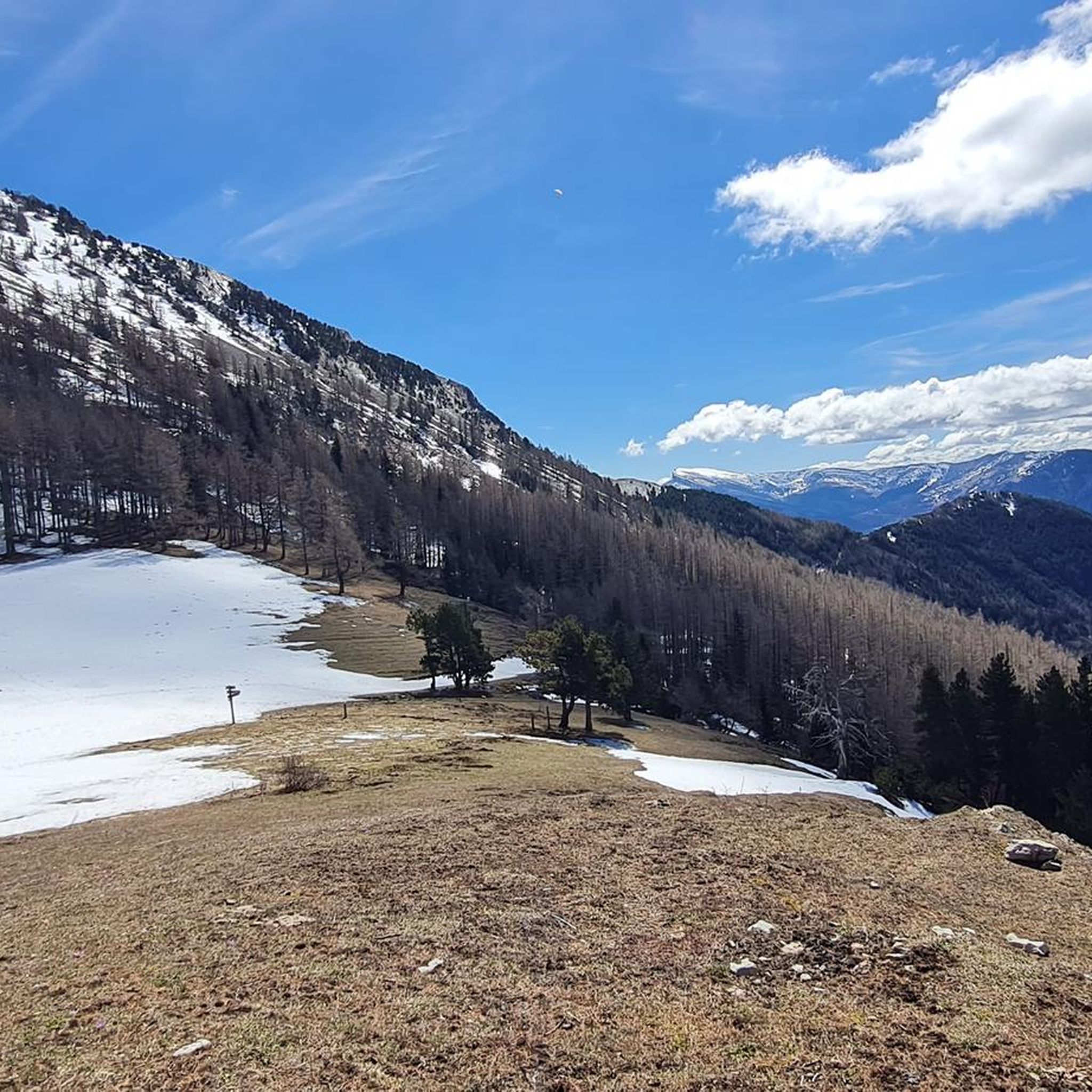
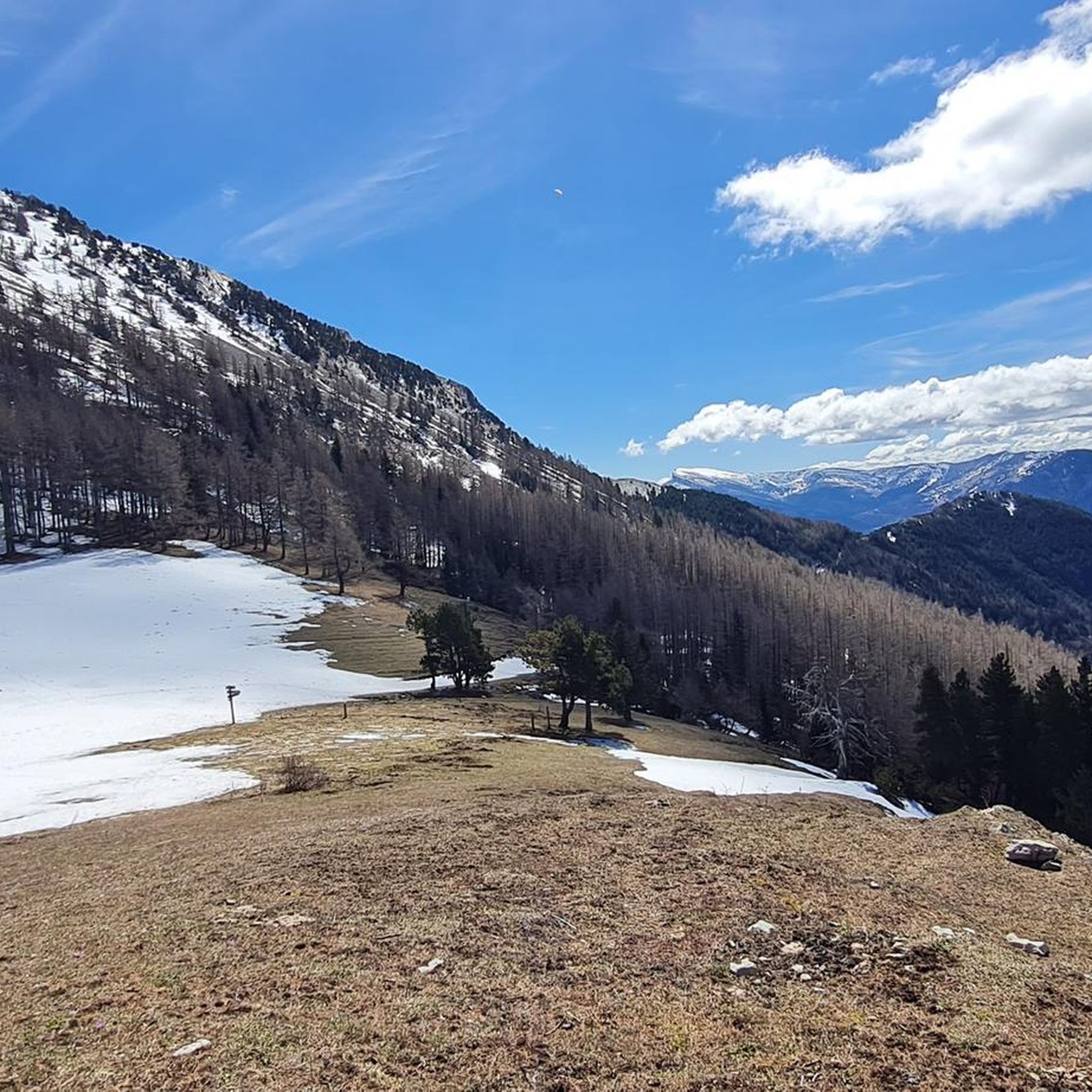
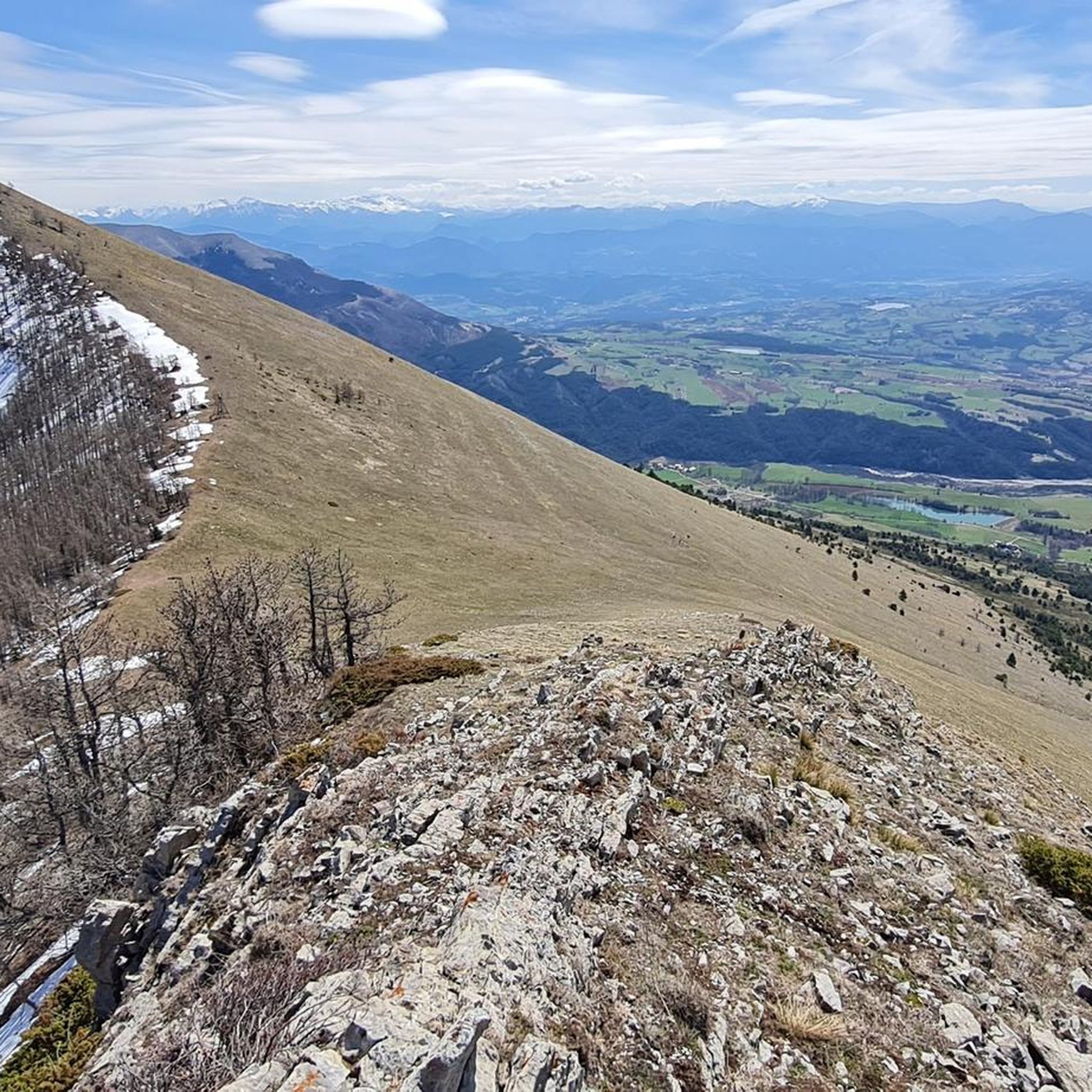
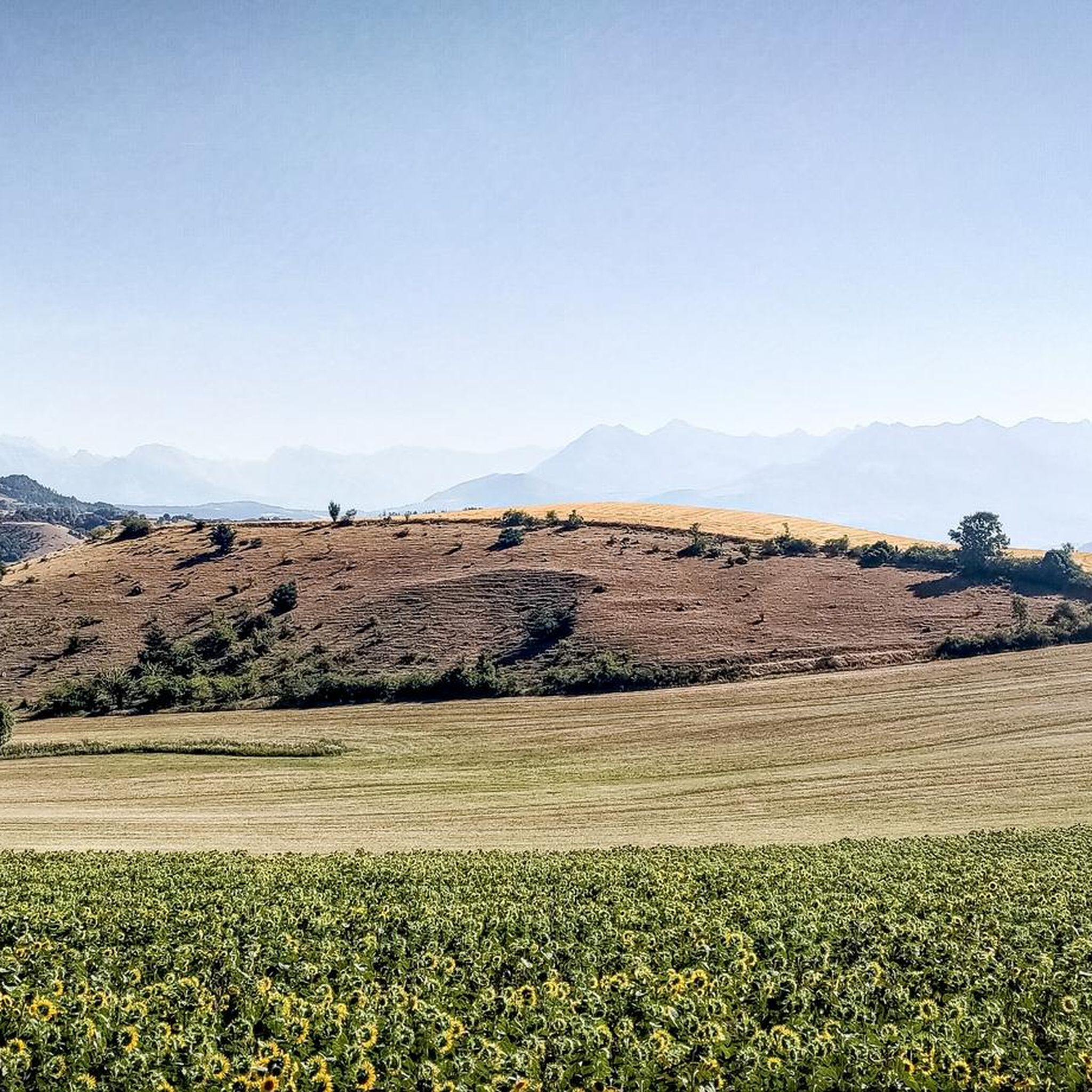


Tips from the Community

The Col d'Espreaux is a climb located in the Hautes-Alpes region. This climb is 12.2 km long, with a total elevation gain of 585 m. The Col d'Espreaux has an average gradient of 4.8%.
17
0
Ancient building maintained in excellent condition.
5
0
The water here is very good and fresh.
16
0
You can safely drink the water here.
10
0
Ascent on a secondary road, very easy slopes. Be careful of the slightly slippery asphalt.
4
0
The Col de Foureyssasse from La Saulce is a climb located in the Hautes-Alpes region. This climb is 7 km long, with a total elevation gain of 461 m. The Col de Foureyssasse from La Saulce has an average gradient of 6.6%.
9
0
The Col de Faye is a mountain pass in the Southern Alps, located in the department of Hautes-Alpes at an altitude of approximately 922 to 924 meters. It connects the Buëch valley to the Durance valley — between the municipalities of Savournon and Ventavon — via the departmental road D21.
16
0
Frequently Asked Questions
How many road cycling routes are available around La Roche-Des-Arnauds?
There are over 160 road cycling routes around La Roche-Des-Arnauds, offering a wide range of options for different skill levels. The komoot community has explored these routes over 7,000 times.
What is the best time of year for road cycling in La Roche-Des-Arnauds?
The Southern French Alps, including La Roche-Des-Arnauds, enjoy approximately 300 days of sunshine annually, making spring and summer ideal for road cycling. These seasons offer pleasant weather for tackling mountain passes and exploring scenic valleys.
What kind of terrain can I expect on road cycling routes in this region?
The terrain around La Roche-Des-Arnauds is diverse and challenging, characterized by the Southern French Alps. You'll encounter numerous mountain passes, significant elevation gains, and winding roads. Routes range from mostly paved surfaces to more demanding paths with steep inclines, particularly around the Massif de Céüse.
Are there options for less experienced road cyclists?
Yes, while the region is known for its challenging climbs, there are also easier and moderate options. You can find 14 easy and 86 moderate routes, such as the Pelleautier Lake loop from La Freissinouse, which offers scenic views without extreme difficulty.
Are there challenging climbs for experienced road cyclists?
Absolutely. The Hautes-Alpes are renowned for legendary mountain passes and significant elevation gains. There are 66 difficult routes available, including challenging ascents like The climb of the Massif de Céüse, which tests even very fit riders.
What natural features or landmarks can I see while road cycling?
You'll encounter stunning natural beauty, including the dramatic Massif de Céüse and the impressive Pic de Bure. Routes often pass by serene lakes like Lac de Pelleautier, and you can also cycle towards notable mountain passes such as Espréaux Pass and Col du Noyer (1664 m).
Are there any circular road cycling routes?
Yes, many routes are designed as loops, allowing you to start and end in the same location. An example is the Lake Pelleautier – Pelleautier Lake loop from La Roche-des-Arnauds, which takes you through scenic valleys.
What do other road cyclists enjoy about the routes in La Roche-Des-Arnauds?
The road cycling routes in La Roche-Des-Arnauds are highly rated by the komoot community, with an average score of 4.6 stars from over 300 reviews. Cyclists often praise the diverse and challenging terrain, the stunning natural landscapes of the Southern French Alps, and the rewarding panoramic views from mountain passes.
Can I find family-friendly road cycling routes?
While many routes involve significant climbs, there are easier options suitable for families or those seeking a more relaxed ride. Look for routes categorized as 'easy' or 'moderate' which often feature less elevation gain and more gentle terrain, such as loops around lakes or through flatter valley sections.
Are there specific initiatives for cyclists in the region?
Yes, the Hautes-Alpes department implements a 'Cols réservés' operation. On specific mornings, legendary mountain roads are closed to motorized traffic, offering cyclists a unique opportunity to ascend passes in absolute peace and quiet, significantly enhancing the cycling experience.
Where can I find parking for road cycling routes?
As a hub for outdoor activities, La Roche-Des-Arnauds and surrounding villages typically offer parking facilities near popular starting points for cycling routes. It's advisable to check specific route descriptions on komoot for details on recommended parking areas.
Are there opportunities for cafe or restaurant stops along the routes?
The region around La Roche-Des-Arnauds features authentic villages and local markets, providing opportunities for refreshment stops. Many routes will pass through or near these settlements where you can find cafes, restaurants, or local shops to refuel during your ride.
Most popular routes around La Roche-Des-Arnauds
Most popular attractions around La Roche-Des-Arnauds

Get inspired with the komoot mobile app


Explore more
Browse the best Road cycling routes in other regions.
