The best cycling routes around Saulx-Marchais
4.4
(200)
1,497
riders
174
rides
Touring cycling routes around Saulx-Marchais traverse a peaceful rural commune in the Yvelines department, characterized by varied terrain with elevations between 94 and 146 meters. The region offers access to the Haute Vallée de Chevreuse Regional Natural Park, featuring extensive forests like Rambouillet Forest, verdant valleys, and open fields. Cyclists can also explore routes along the historic Aqueduc de l'Avre and through the Coteaux de la Mauldre, which combine residential areas with natural landscapes. This area provides a well-developed network…
Last updated: October 15, 2026
21
riders
41.2km
03:27
530m
530m
Hard bike ride. Very good fitness required. You may need to push your bike for some segments of this route.
5.0
(1)
8
riders
27.2km
02:24
350m
350m
Hard bike ride. Good fitness required. You may need to push your bike for some segments of this route.

10
riders
49.8km
03:29
510m
510m
Hard bike ride. Very good fitness required. Mostly paved surfaces. Suitable for all skill levels.
3.0
(2)
6
riders
37.5km
02:13
200m
200m
Moderate bike ride. Good fitness required. Mostly paved surfaces. Suitable for all skill levels.
5
riders
13.7km
00:51
90m
90m
Easy bike ride. Great for any fitness level. Mostly paved surfaces. Suitable for all skill levels.
Get access to more routes and recommendations from other explorers.
Already have an account?
Our route recommendations are based on thousands of hikes, rides, and runs completed by other people on komoot.
Start today with a free account
Your next adventure awaits.
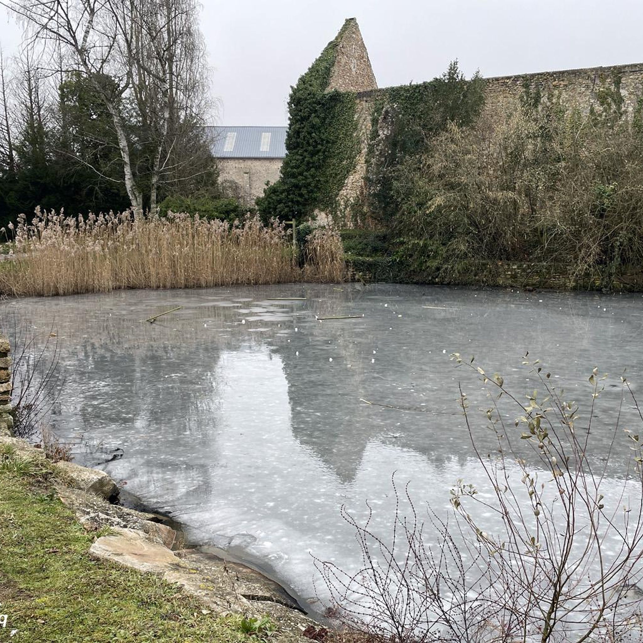

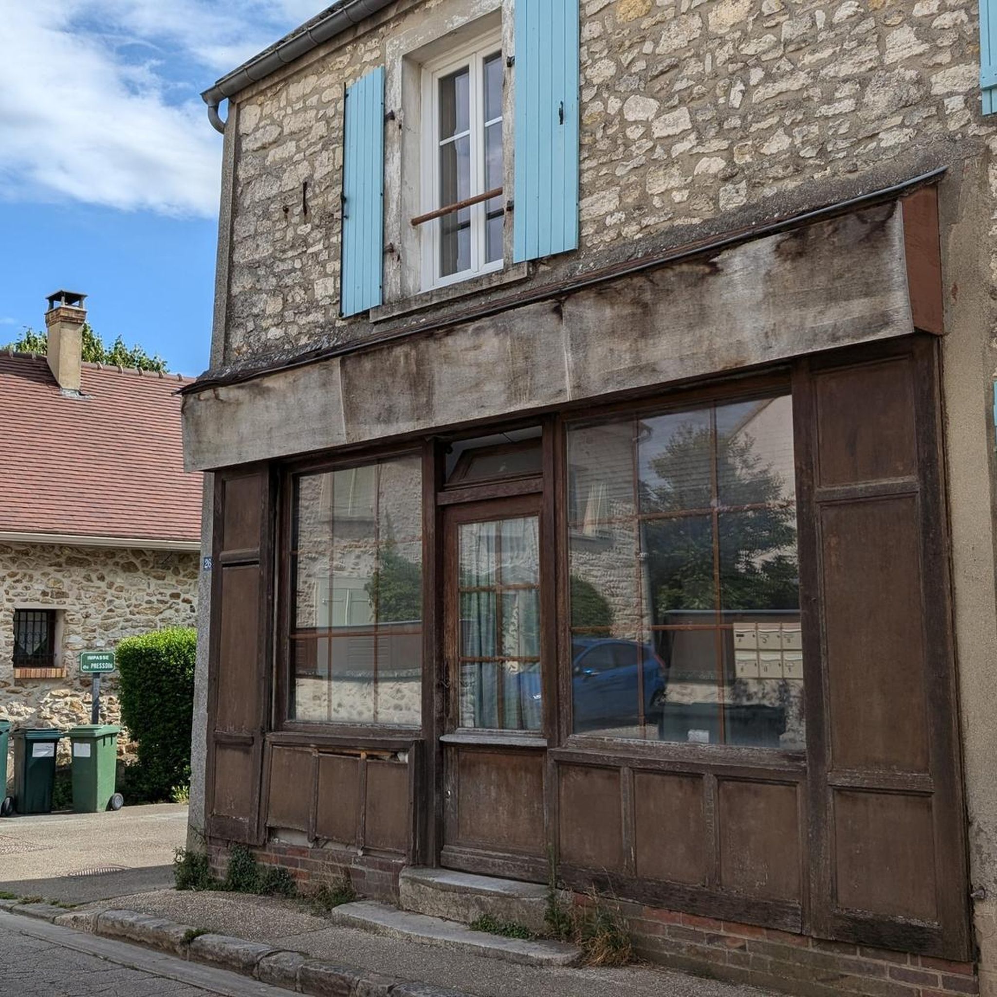


Tips from the Community


The beautiful church of Sainte Madeleine at the crossroads... You will find a water point near the low wall to refresh yourself during your walk.
0
0

very pleasant crossing point with mild weather
0
0

A small vineyard on a hillside, table grapes or for wine.
0
0
A pretty authentic village, wash house, church, old post office. A leap in time!
0
0
A beautiful panorama, changing with the seasons. A typically Ile-de-France landscape.
0
0


The view and tranquility as a reward for the climb to reach the royal park
0
0
Frequently Asked Questions
How many touring cycling routes are available around Saulx-Marchais?
There are over 170 touring cycling routes available in the Saulx-Marchais area, offering a wide range of options for different skill levels and preferences. You'll find everything from easy loops through rural landscapes to more challenging rides with significant elevation changes.
Are there easy touring cycling routes suitable for beginners or families?
Yes, Saulx-Marchais offers a good selection of easy touring cycling routes. There are 39 routes classified as easy, perfect for a relaxed ride through the tranquil countryside. An example is the Château de Boissy loop from Saulx-Marchais, which is 8.5 miles (13.7 km) long and leads through rural landscapes and past historical points of interest.
What kind of terrain and landscapes can I expect on touring cycling routes in this region?
The region around Saulx-Marchais is characterized by its preserved rural charm, featuring a mix of cultivated fields, quaint villages, and extensive woodlands. You'll encounter varied terrain with elevations typically between 94 and 146 meters. Routes often traverse parts of the Haute Vallée de Chevreuse Regional Natural Park, offering verdant valleys and deep forests like the Rambouillet Forest, as well as routes along the historic Aqueduc de l'Avre and the scenic Coteaux de la Mauldre.
What historical sites or landmarks can I explore while cycling near Saulx-Marchais?
The area is rich in history and culture. Cyclists can pass by impressive structures like the Ruins of the Château de Beynes, or visit religious sites such as Saint Martin's Church in Beynes and Notre-Dame du Chêne Chapel. The Montfort-l'Amaury Cemetery and Cloister is also a notable historical point of interest.
Are there any challenging touring cycling routes for experienced riders?
Yes, for experienced touring cyclists seeking a challenge, there are 41 difficult routes available. These routes feature notable elevation changes and cover longer distances. An example is the Davron – Davron church loop from Beynes, a 16.8 miles (27.0 km) trail with significant climbs through the rural landscape.
What do other touring cyclists enjoy most about cycling in Saulx-Marchais?
The touring cycling routes around Saulx-Marchais are highly rated by the komoot community, with an average score of 4.4 stars from over 150 reviews. Cyclists frequently praise the peaceful rural setting, the blend of open fields and forested sections, and the well-developed network of paths that allow for varied exploration of the Yvelines countryside.
Are there circular touring cycling routes available?
Yes, many of the touring cycling routes in the Saulx-Marchais area are designed as loops, allowing you to start and end your journey in the same location. This is convenient for those traveling by car. For instance, the The Caddy of Portugal – Andelu loop from Auteuil is a moderate 23.8 miles (38.3 km) path that offers a blend of open fields and forested sections in a circular format.
What is the best time of year to go touring cycling in Saulx-Marchais?
The region is enjoyable for touring cycling throughout much of the year. Spring and autumn offer pleasant temperatures and beautiful scenery, with blooming flowers or vibrant fall foliage. Summer can also be great, especially when cycling through the shaded forest sections. Always check local weather conditions before heading out.
Are there any routes that pass by natural features like forests or valleys?
Absolutely. The region is known for its natural beauty. Many routes traverse the extensive forests, such as the Rambouillet Forest within the Haute Vallée de Chevreuse Regional Natural Park, and wind through verdant valleys and along the Coteaux de la Mauldre. The Beautiful view of Thiverval – Route des Flambertins loop from Beynes offers scenic passages through woodlands and open fields.
Can I find cafes or places to stop for refreshments along the routes?
While specific cafes are not listed for every route, the region is dotted with charming small villages. Many routes will pass through or near these villages, offering opportunities to find local establishments for refreshments or a break. Planning your route in advance and checking for village stops can help you locate suitable places.
Are there any long-distance touring cycling options from Saulx-Marchais?
Saulx-Marchais is strategically positioned to access a well-developed network of cycling routes, including parts of the Yvelines department's 1,300 km of paths. While specific multi-day long-distance routes starting directly from Saulx-Marchais are not detailed here, the extensive network within the Haute Vallée de Chevreuse Regional Natural Park and the wider Yvelines department provides ample opportunities to link up shorter tours for longer journeys.
Is public transport available to access the cycling routes around Saulx-Marchais?
Saulx-Marchais is located approximately 38 kilometers west of Paris, and the Yvelines department has public transport options. While direct access to every trailhead via public transport might vary, regional trains and buses often serve the larger towns and villages in the vicinity, from which you can cycle to the starting points of many routes. It's advisable to check local transport schedules for specific connections to your chosen starting point.
Most popular routes around Saulx-Marchais
Most popular attractions around Saulx-Marchais

Get inspired with the komoot mobile app


Explore more
Browse the best Cycling routes in other regions.
