The best walks and hikes around Saint-Laurent-De-Muret
4.5
(497)
3,256
hikers
140
hikes
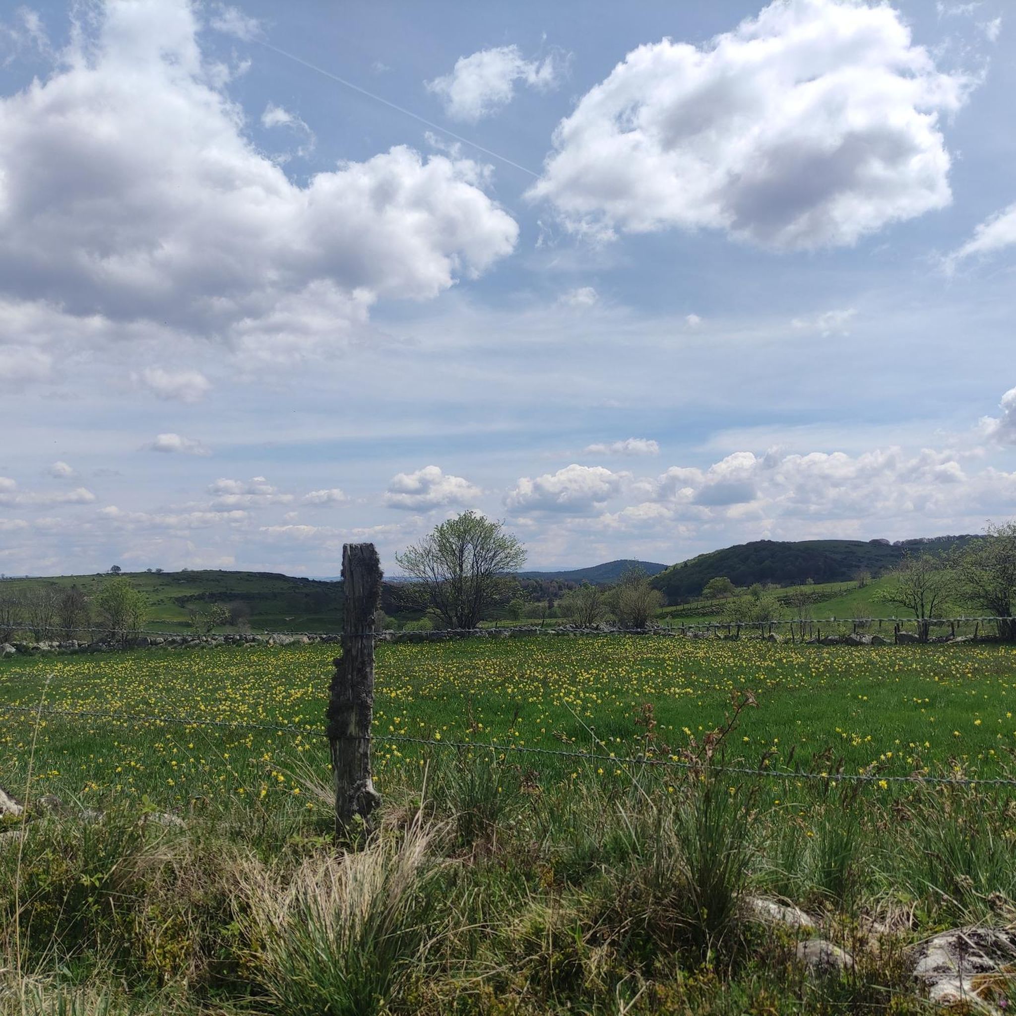
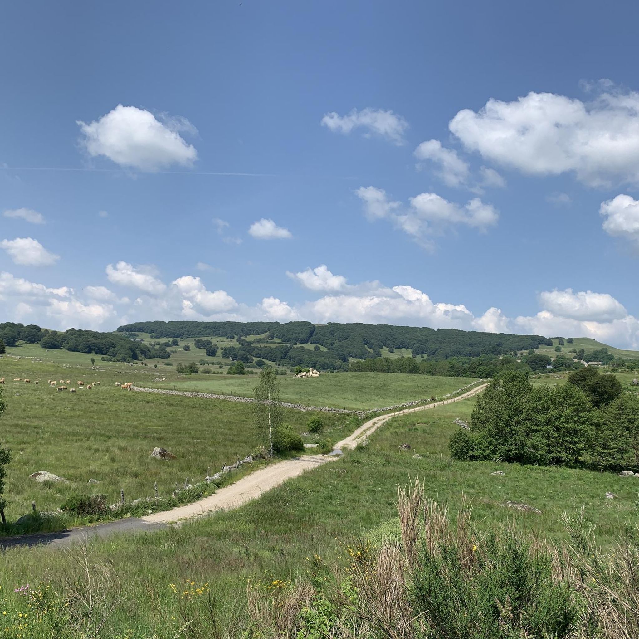
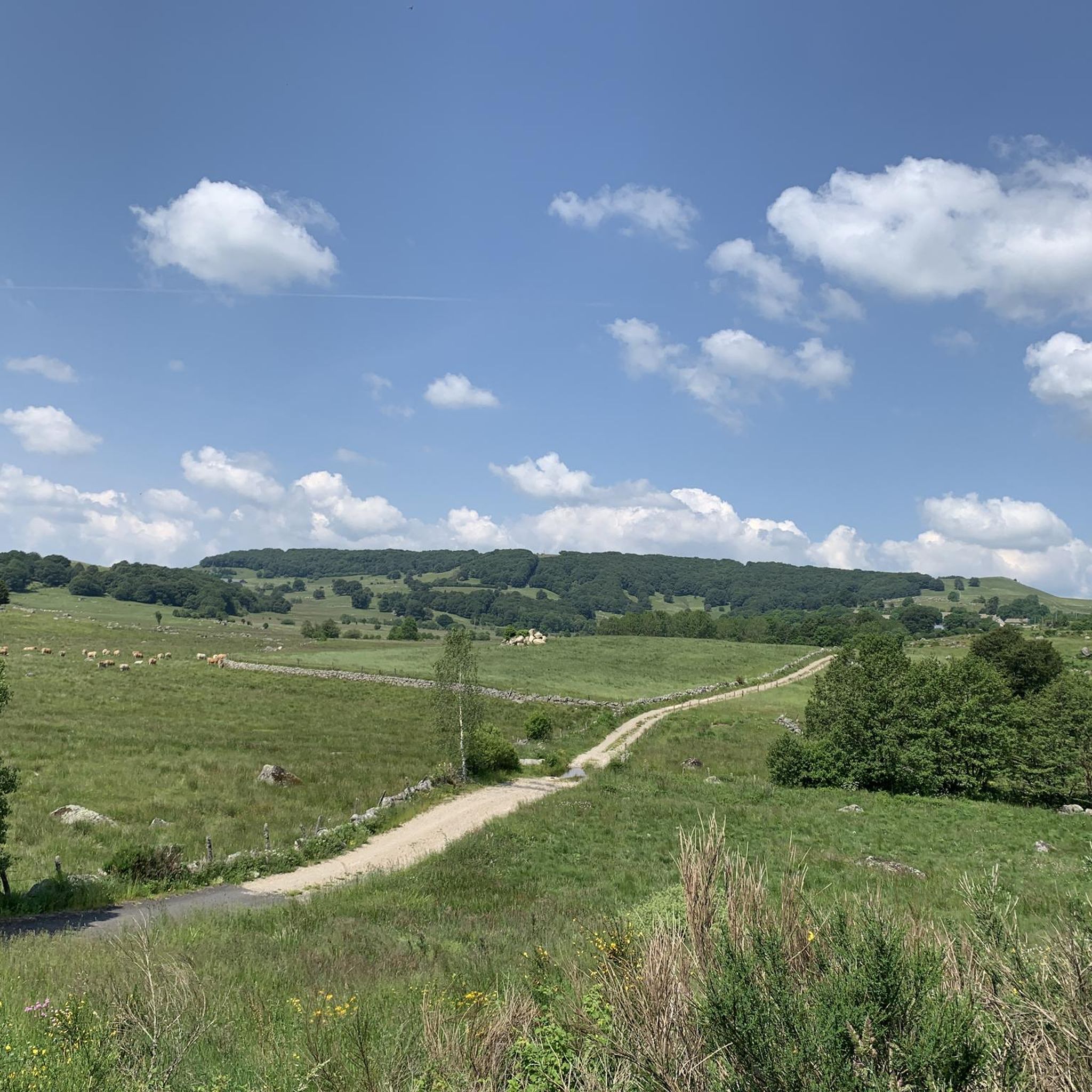
Hiking around Saint-Laurent-De-Muret offers access to the diverse landscapes of the Lozère department, characterized by the high-altitude Aubrac Plateau with its granitic and basaltic expanses. The region features extensive pastures, serene lakes like Lac du Moulinet, and notable natural features such as the Signal de Mailhebiau and the Cascade du Déroc. Trails traverse varied terrain, including traditional pastoral lands and areas with volcanic rock formations.
Best hiking trails around Saint-Laurent-De-Muret
- The most popular hiking route is Signal de Mailhebiau Loop…
Last updated: June 29, 2026
4.0
(13)
58
hikers
15.1km
04:13
290m
290m
Moderate hike. Good fitness required. Easily-accessible paths. Suitable for all skill levels.
5.0
(4)
17
hikers
Easy hike. Great for any fitness level. Easily-accessible paths. Suitable for all skill levels.

Sign up for free
4.5
(10)
41
hikers
9.24km
02:41
250m
250m
Moderate hike. Good fitness required. Easily-accessible paths. Suitable for all skill levels.
4.9
(7)
44
hikers
22.0km
05:56
280m
280m
Hard hike. Very good fitness required. Easily-accessible paths. Suitable for all skill levels.
5.0
(3)
7
hikers
16.4km
04:37
360m
360m
Moderate hike. Good fitness required. Easily-accessible paths. Suitable for all skill levels.
Get access to more routes and recommendations from other explorers.
Sign up for free
Already have an account?
Our route recommendations are based on thousands of hikes, rides, and runs completed by other people on komoot.
Start today with a free account
Your next adventure awaits.
Login or Signup
Tips from the Community

We passed and enjoyed this during our Camino trip in 2025: https://youtu.be/iWACUDABfUc
0
0
We passed and enjoyed this during our Camino trip in 2025: https://youtu.be/iWACUDABfUc
0
0

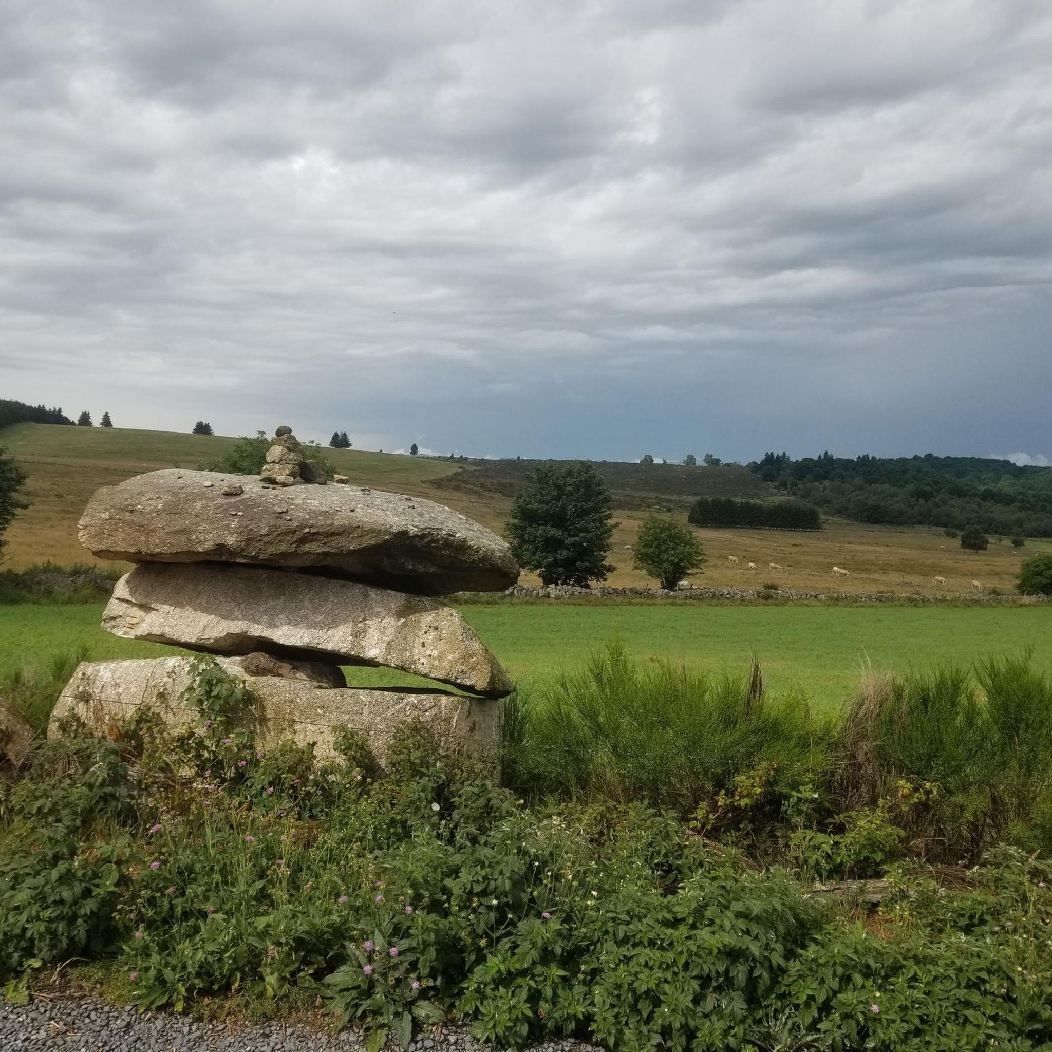
Interesting stone cross on the Aubrac plateau.
0
0

Great welcome A small, comfortable refuge!
1
0

We had a wonderful time at this refuge. We received a very warm welcome. It's recommended to book in advance. Some hikers had to turn back because the maximum capacity was reached.
1
0

At the level of the Negro Bridge which passes over the Stream of Arrows, you can observe superb geological formations. In this case, they are basalt organs.
1
0

Magnificent and practicable place for all types of walkers.
0
0
Frequently Asked Questions
How many hiking trails are available around Saint-Laurent-De-Muret?
There are over 130 hiking trails around Saint-Laurent-De-Muret, offering a wide range of options for all skill levels. These routes explore the diverse landscapes of the Lozère department, including the Aubrac Plateau and serene lakes.
What types of natural features can I expect to see on hikes near Saint-Laurent-De-Muret?
The region is rich in natural beauty. You can discover the vast Aubrac Plateau with its extensive pastures, serene spots like Lac du Moulinet, and impressive waterfalls such as the Cascade du Déroc, known for its distinctive cave and prismatic lava flows. The Signal de Mailhebiau offers panoramic views as the highest point in Aubrac.
Are there any family-friendly hiking options in Saint-Laurent-De-Muret?
Yes, there are many easy trails suitable for families. For instance, The peak of Mus - round trip from Saint-Laurent-de-Muret - Aubrac Regional Natural Park is an easy 2.7-mile path with a gentle ascent, perfect for a family outing. Leisurely walks around Lac du Moulinet are also very accessible.
What is the best time of year to go hiking in Saint-Laurent-De-Muret?
Saint-Laurent-De-Muret offers hiking opportunities year-round. Summer is ideal for combining hikes with swimming and water activities at Lac du Moulinet. The Aubrac Plateau is beautiful in spring and summer with its green pastures, while autumn and winter also offer unique scenic beauty, especially around the lakes and waterfalls.
Are there any challenging or difficult hikes for experienced trekkers?
Yes, for more experienced hikers, there are challenging routes. The Marchastel Bridge – Cascade du Déroc loop from Puech Palat is a difficult 13.6-mile trail that takes over 5 hours to complete, offering a substantial adventure through varied terrain.
Can I find circular hiking routes in the area?
Absolutely. Many trails in Saint-Laurent-De-Muret are circular, allowing you to start and end at the same point. An example is the Rajas Refuge – Buron La Rozière loop from Bois de Casimir, a 5.7-mile trail through pastoral landscapes and traditional burons.
What are 'burons' and can I see them on a hike?
Burons are traditional stone shepherd's shelters found on the Aubrac Plateau. Many routes, such as the Signal de Mailhebiau Loop, pass by these historic structures, offering a glimpse into the region's pastoral heritage.
Are there any hikes that feature waterfalls?
Yes, the region is home to beautiful waterfalls. The Cascade du Déroc is a prominent natural wonder where the Ganbaïse stream plunges 30 meters. The Marchastel Bridge – Cascade du Déroc loop from Puech Palat is a great option to experience this impressive site.
What do other hikers say about the trails in Saint-Laurent-De-Muret?
The hiking routes in Saint-Laurent-De-Muret are highly rated by the komoot community, with an average score of 4.5 stars from over 400 reviews. Hikers often praise the diverse landscapes, well-maintained paths, and the stunning panoramic views from points like the Signal de Mailhebiau.
Are there any specific viewpoints or scenic spots worth visiting?
Definitely. The Signal de Mailhebiau, the highest point in Aubrac, offers breathtaking 360-degree panoramic views. Additionally, the View of Lac des Salhiens provides another picturesque vista of the area's natural beauty.
What is the typical duration and elevation gain for hikes in this area?
Hikes vary greatly. Easy routes, like the one to The Peak of Mus, can be under 3 miles and take about 1.5 hours with around 120m elevation gain. Moderate trails, such as the Signal de Mailhebiau Loop, are around 9.4 miles, taking over 4 hours with nearly 300m elevation gain. More difficult routes can extend to over 13 miles and take 5+ hours with similar elevation gains.
Most popular routes around Saint-Laurent-De-Muret
Most popular attractions around Saint-Laurent-De-Muret

Get inspired with the komoot mobile app


Explore more
Browse the best Hikes in other regions.
