The best walks and hikes around Saint-Jean-De-Crieulon
4.3
(426)
2,402
hikers
147
hikes
Hiking around Saint-Jean-De-Crieulon offers a variety of trails through diverse landscapes. The region is characterized by its mix of woodlands, such as the Coutach oak forests, and rocky areas like the Mer des Rochers. Trails often feature moderate elevation changes, providing varied terrain for hikers.
Best hiking trails around Saint-Jean-De-Crieulon
- The most popular hiking route is Oaks of Coutach Trail, an easy 2.4 miles (3.8 km) trail that takes 1 hour 3 minutes to complete. This path leads through…
Last updated: July 8, 2026
4.5
(17)
108
hikers
Hard hike. Very good fitness required. Easily-accessible paths. Suitable for all skill levels.
5.0
(4)
23
hikers
Easy hike. Great for any fitness level. Easily-accessible paths. Suitable for all skill levels.

Sign up for free
4.0
(3)
15
hikers
16.2km
04:25
250m
250m
Moderate hike. Good fitness required. Easily-accessible paths. Suitable for all skill levels.
4.0
(2)
8
hikers
7.66km
02:04
100m
100m
Moderate hike. Good fitness required. Easily-accessible paths. Suitable for all skill levels.
4.0
(1)
7
hikers
9.15km
02:26
90m
90m
Moderate hike. Good fitness required. Easily-accessible paths. Suitable for all skill levels.
Get access to more routes and recommendations from other explorers.
Sign up for free
Already have an account?
Our route recommendations are based on thousands of hikes, rides, and runs completed by other people on komoot.
Start today with a free account
Your next adventure awaits.
Login or Signup

Tips from the Community

A pleasant hike in a karst landscape (for the initiated) but also imbued with a certain magic. The loop from the center of the village took us about two with a picnic among the rocks, in a place once planted with cherry trees and other fruit trees. Note the presence of an original sundial... in perfect working order! The sinkhole, at the beginning of the trail, is hardly visible because it is overgrown with vegetation. But the ruins of the castle for their part allow for beautiful photos. The trail is quite shaded regardless of the season, we did it in 28 degrees without any discomfort (but we are from the South!). However, be sure to wear proper footwear because the route is very stony!
0
0

Avoid doing the sea of rocks the day after rain, it is dangerously slippery and spoils a lot of the fun.
1
0
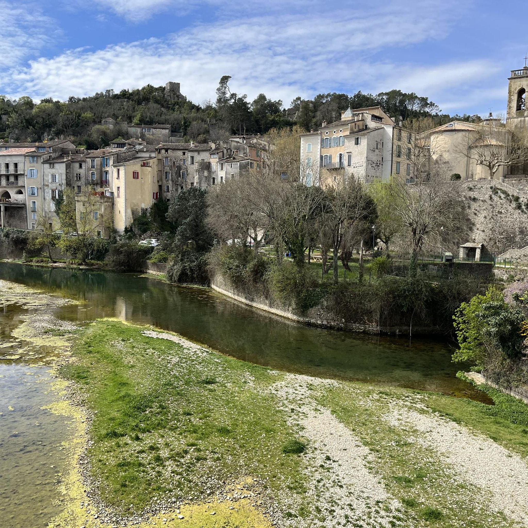
Charming village with old stones full of history
1
0
Be careful of particularly slippery surroundings on rainy days or after rain.
1
0

Private domain! The old castle of Roquevaire, seems over time, to be restored. Well maintained place. Castle, garden, chapel, a beauty in the middle of nature :)
0
0
A 40m deep and 90m circumference sinkhole is an attraction in the Sauve area, for tourists and also for potholers. I was able to go down there several times. Be careful, there is no barrier! Watch where you put your feet, children and animals! At the bottom is a cave that is not very big, with two parts. First lower part, which overlooks a well, then where you have to crawl quite a bit to end up on "nothing". On the other side, you fall quite quickly above a LAKE, with a height of about 15m. The water from this LAKE flows into the Sauve resurgence, located at the bottom of the village, after the stone bridge, towards the children's park. This one spits with all its power during the rains.
3
0
Beautiful view of Sauve from the tower overlooking the sea of rocks (the isolated tower, not the Roquevaire castle). To get there, a path is clearly visible from the main path. You will have to climb a little at the foot of the tower.
2
0
The sea of rocks is located on the heights of the village of Sauve. Although short, the well-marked path offers a beautiful view. The path is uneven, sometimes with high steps, but is quite easy to do on foot, and seems to be intended for everyone, with a little care. A sundial is located at the end of the crossing (or at the beginning depending on where you are coming from). Not far from there, 10/15 minutes on foot, is the Grand Aven de Sauve, which I was able to descend a few years ago.
2
0
Frequently Asked Questions
How many hiking trails are available around Saint-Jean-De-Crieulon?
There are nearly 150 hiking trails around Saint-Jean-De-Crieulon, offering a wide range of options for different skill levels and preferences.
What is the overall difficulty level of hiking trails in Saint-Jean-De-Crieulon?
The trails around Saint-Jean-De-Crieulon offer a good mix of difficulties. You'll find over 50 easy routes, more than 70 moderate trails, and about 18 challenging options for experienced hikers.
What kind of landscapes can I expect to see while hiking around Saint-Jean-De-Crieulon?
The region is characterized by diverse landscapes, including extensive woodlands like the Coutach oak forests and unique rocky areas such as the Mer des Rochers. Many trails also feature moderate elevation changes, providing varied terrain.
Are there easy hiking trails suitable for beginners in Saint-Jean-De-Crieulon?
Yes, there are many easy trails perfect for beginners. An example is the Oaks of Coutach Trail, which is an easy 2.4-mile (3.8 km) path leading through scenic oak woodlands.
Can I find challenging long-distance hikes near Saint-Jean-De-Crieulon?
Absolutely. For those seeking a challenge, there are difficult long-distance options. The Mer des Rochers – The Old Bridge of Sauve loop from Les Écuries du Banassou is a difficult 11.9-mile (19.1 km) route that explores rocky landscapes and offers views of the Old Bridge of Sauve.
Are there any circular hiking routes in the area?
Yes, several circular routes are available. For instance, the Mer des Rochers – The Old Bridge of Sauve loop from Sauve is a 3.3-mile (5.3 km) loop through varied terrain, including the Mer des Rochers.
Are there any interesting natural or historical sights to explore along the trails?
Yes, the area offers several points of interest. You can explore the unique rocky landscape of the Mer des Rochers, discover the Bridge of Chance, or visit the Aven of Sauve cave. The Gardon of Anduze river is also nearby.
What do other hikers say about the trails in Saint-Jean-De-Crieulon?
The trails in Saint-Jean-De-Crieulon are highly regarded by the komoot community, with an average rating of 4.3 stars from nearly 400 reviews. Hikers often praise the diverse terrain, from oak forests to rocky outcrops, and the well-maintained paths.
Are there any moderate hiking trails for those looking for a balanced challenge?
Certainly. There are over 70 moderate trails available. An example is the Mer des Rochers – The Old Bridge of Sauve loop from Château de Sabatier, a 4.8-mile (7.7 km) route that offers a balanced challenge with varied scenery.
Is it possible to reach hiking trails in Saint-Jean-De-Crieulon using public transport?
While specific public transport links directly to trailheads may be limited, some villages near popular starting points might be accessible by regional bus services. It's advisable to check local transport schedules for the specific area you plan to hike.
Where can I find parking for hiking trails in Saint-Jean-De-Crieulon?
Parking is generally available in or near the villages that serve as starting points for many trails, such as Sauve or Les Écuries du Banassou. Look for designated parking areas in these locations.
Are there any shorter, easy loops for a quick walk?
Yes, for a shorter, easy loop, consider The Old Bridge of Sauve – Mer des Rochers loop from Sauve. This route is 1.6 miles (2.6 km) and offers a pleasant walk through the area's characteristic landscapes.
Most popular routes around Saint-Jean-De-Crieulon
Most popular attractions around Saint-Jean-De-Crieulon

Get inspired with the komoot mobile app


Explore more
Browse the best Hikes in other regions.
