The best MTB trails around Mirepeisset
4.3
(296)
1,144
riders
113
rides
Mountain biking around Mirepeisset features a landscape shaped by the Canal du Midi and its surrounding waterways, offering mostly flat to gently undulating terrain. The region includes a mix of open countryside and areas with low hills, such as Bize hill, providing varied elevation changes. Mountain bike trails often follow the canal paths, connecting charming villages and historical bridges. This area is suitable for exploring on two wheels, with routes that cater to different skill levels.
Best mountain bike trails…
Last updated: July 4, 2026
5.0
(1)
26
riders
59.2km
04:08
290m
290m
Moderate mountain bike ride. Good fitness required. Advanced riding skills necessary.
4.6
(13)
65
riders
Hard mountain bike ride. Very good fitness required. Advanced riding skills necessary.

Sign up for free
5.0
(3)
17
riders
Easy mountain bike ride. Great for any fitness level. Suitable for all skill levels.
4.2
(23)
14
riders
17.7km
01:35
300m
300m
Moderate mountain bike ride. Good fitness required. Suitable for all skill levels.
5.0
(1)
14
riders
29.0km
02:43
550m
550m
Hard mountain bike ride. Good fitness required. Advanced riding skills necessary. Some portions of the route may require you to push your bike.
Get access to more routes and recommendations from other explorers.
Sign up for free
Already have an account?
Our route recommendations are based on thousands of hikes, rides, and runs completed by other people on komoot.
Start today with a free account
Your next adventure awaits.
Login or Signup
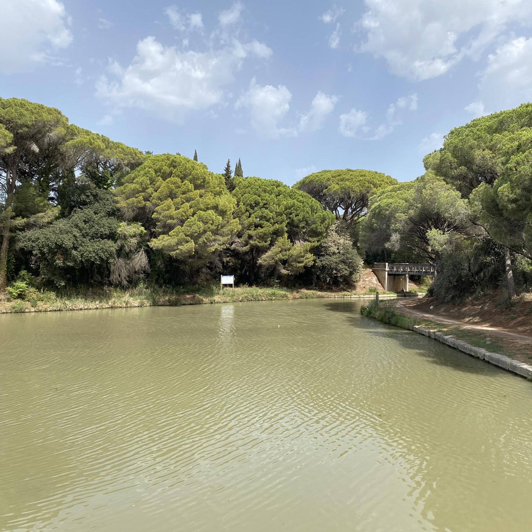
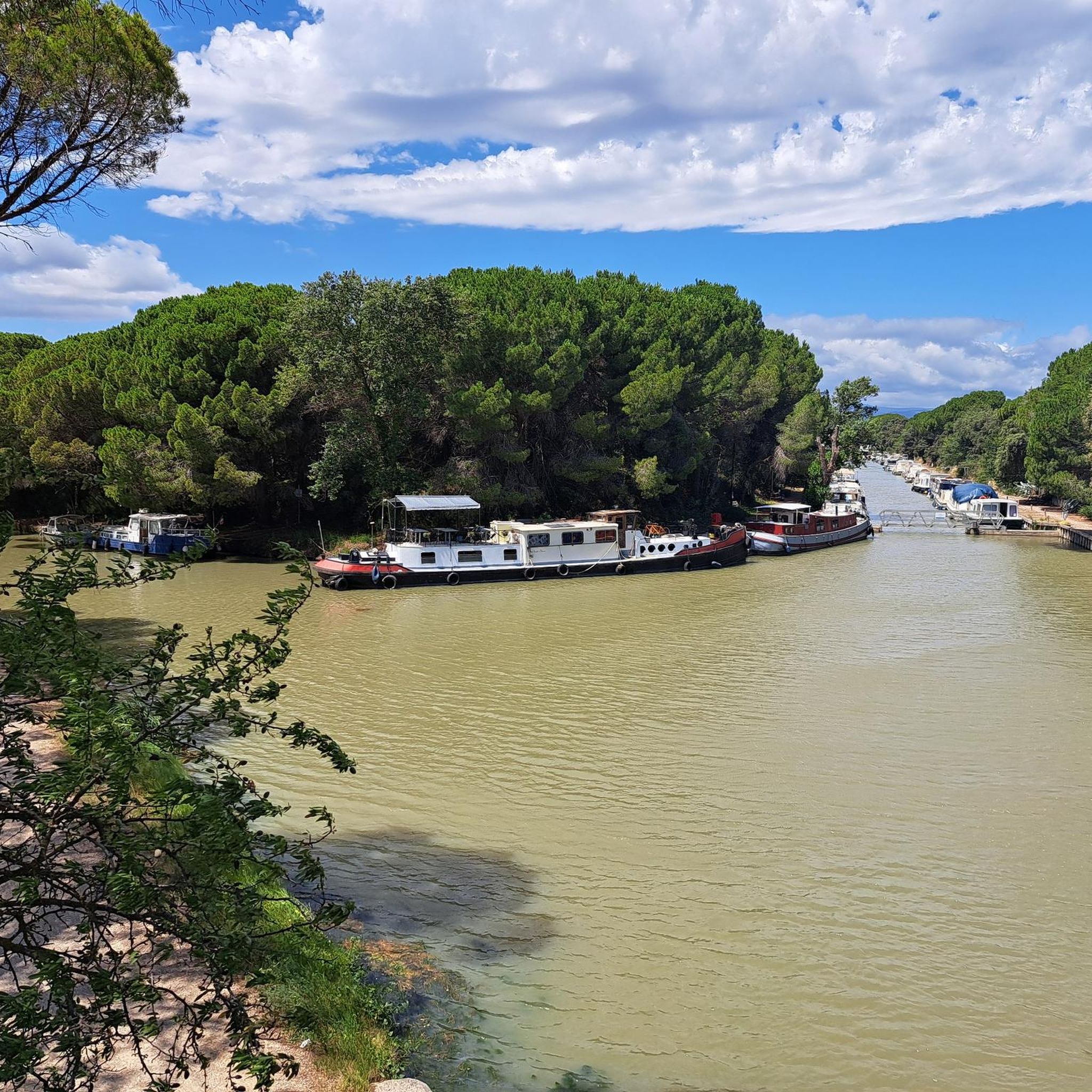

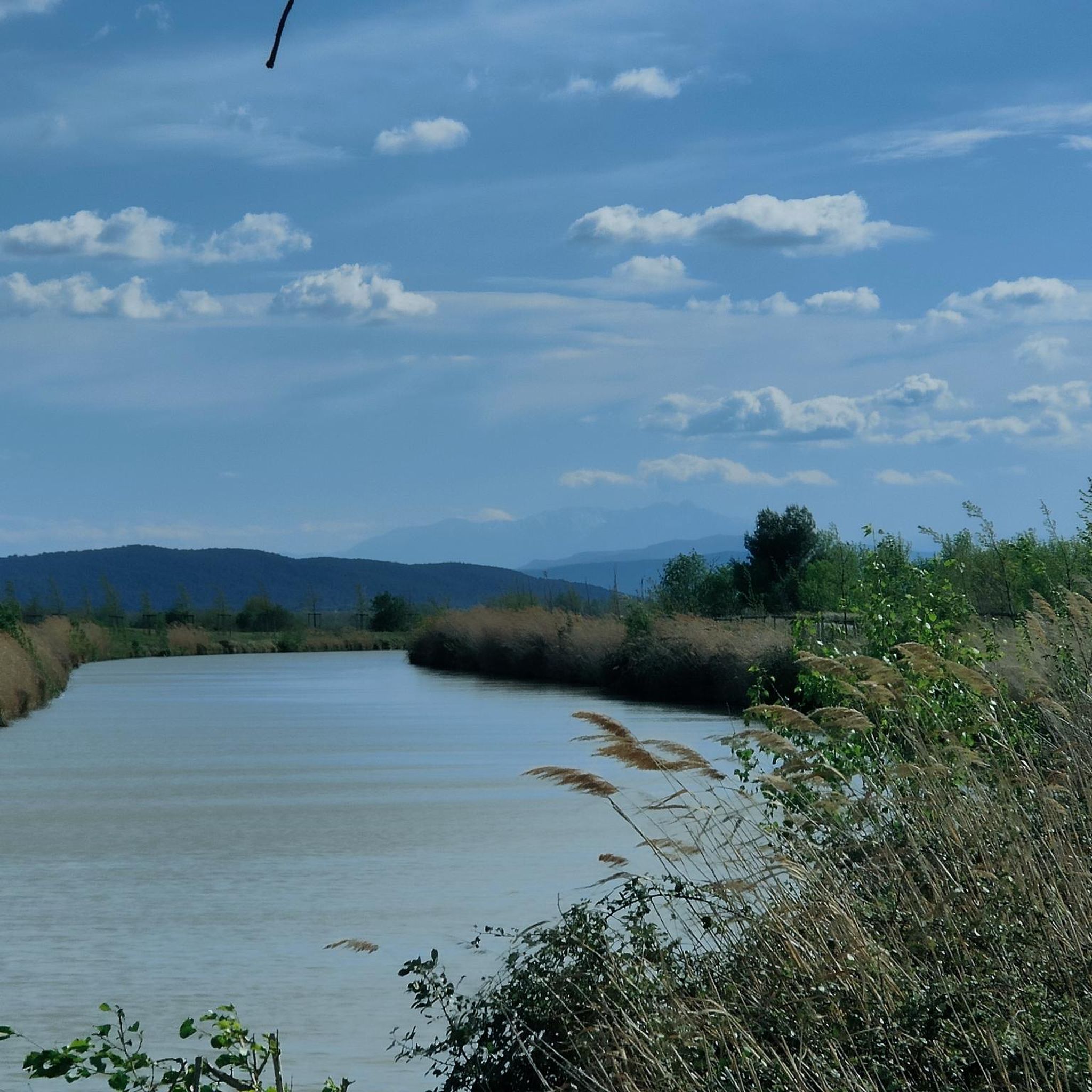
Tips from the Community

The Montady pond is a former pond, drained during the Middle Ages, located in the western part of the French department of Hérault, between Béziers and Narbonne. Thanks to drainage canals, the water is channeled towards a central collector, which explains the star-shaped layout of the fields and vineyards. This canal system dates back to the 13th century. Sixty drainage ditches converge at the circular ditch, called the Redondel, in the center of the former pond. The water is then carried away by a counter-sloping ditch towards the Capestang pond and through a tunnel under the Ensérune hill and the Malpas tunnel. The tunnel is located at a depth of 29.5 meters below the Malpas pass and 16 meters below the Canal du Midi tunnel. The pond is visible from the Montady tower, a remnant of the former 12th-century castle, and from the top of the hill, the Ensérune oppidum. Heavy rainfall, like that at the end of October 2019, can cause it to reappear. (Wikipedia)
0
0

A superb viewpoint overlooking the village of Agel, the Cesse valley and the Minervois region.
0
0
A magnificent view over the Minervois and the Cesse valley
0
0
A magnificent area for trail running, Nordic walking, and hiking. Paths everywhere, a superb setting, and stunning views!
0
0


Frequently Asked Questions
How many mountain bike trails are available around Mirepeisset?
There are over 100 mountain bike trails around Mirepeisset, offering a wide range of options for different skill levels. The landscape, shaped by the Canal du Midi, provides varied terrain from flat canal paths to low hills.
Are there easy mountain bike trails suitable for beginners or families in Mirepeisset?
Yes, Mirepeisset offers 28 easy mountain bike trails. These routes often follow the flat, scenic paths along the Canal du Midi, making them ideal for beginners or family outings. An example is The Port of Somail – La Cesse Aqueduct loop from Pont-Canal de Cesse, which is 13.9 km long with minimal elevation gain.
What kind of terrain can I expect on mountain bike trails in Mirepeisset?
The terrain around Mirepeisset is diverse, featuring mostly flat to gently undulating paths along the Canal du Midi and its waterways. You'll also find areas with low hills, such as Bize hill, which offer more challenging climbs and descents. The region combines open countryside with charming villages and historical bridges.
Are there any challenging mountain bike routes for experienced riders?
Yes, for experienced riders seeking more challenge, there are 17 difficult mountain bike trails. These routes often venture into the hillier sections, such as the Bize hill. – Trail de Bize loop from Hameau de Cabezac, which features significant elevation changes over its 29.2 km distance.
What are the typical distances for mountain bike trails in Mirepeisset?
Trail distances vary significantly. Easy routes can be as short as 10-15 km, while moderate and difficult trails can extend up to 70 km or more. For instance, Paraza canal bridge – Pigasse Bridge loop from Hameau de Cabezac is a moderate 72.5 km route.
Are there circular mountain bike routes available?
Many mountain bike trails in Mirepeisset are designed as circular routes, allowing you to start and finish at the same point. This is particularly common for routes exploring sections of the Canal du Midi or specific hilly areas. For example, the Répudre Canal Bridge – Paraza canal bridge loop from Saint-Marcel-sur-Aude is a popular circular option.
What interesting sights or landmarks can I see along the mountain bike trails?
The trails often pass by historical and natural landmarks. You can explore sites like The Port of Somail, the Junction of the Canal du Midi and the Canal de la Robine, and the Gailhousty Lock and Spillway. Many routes also offer scenic views, such as the View over Paraza.
When is the best time of year for mountain biking in Mirepeisset?
Spring (April-May) and autumn (September-October) are generally the best times for mountain biking in Mirepeisset. The weather is typically mild and pleasant, avoiding the intense heat of summer and the cooler, potentially wetter conditions of winter. The canal paths are particularly enjoyable during these seasons.
Is parking readily available near the trailheads?
Yes, parking is generally available in the villages and towns where many of the trails begin, such as Saint-Marcel-sur-Aude, Hameau de Cabezac, or near Pont-Canal de Cesse. It's advisable to check specific route details for recommended starting points and parking information.
What do other mountain bikers say about the trails in Mirepeisset?
The mountain bike trails in Mirepeisset are highly regarded by the komoot community, with an average rating of 4.3 stars from over 240 reviews. Riders frequently praise the scenic canal-side paths, the variety of terrain, and the opportunity to explore charming villages and historical sites.
Are there any routes that offer a mix of canal-side riding and hill climbs?
Yes, several routes combine the flat, tranquil canal paths with excursions into the region's low hills. This allows riders to experience both the gentle cruising along the waterways and the more demanding ascents and descents of areas like Bize hill. The Malpas Tunnel (Canal du Midi) – Canal du Midi loop from Pont-Canal de Cesse offers a varied experience.
Most popular routes around Mirepeisset
Most popular attractions around Mirepeisset

Get inspired with the komoot mobile app


Explore more
Browse the best MTB trails in other regions.
