The best walks and hikes around La Croix-Avranchin
4.4
(1419)
18,138
hikers
130
hikes
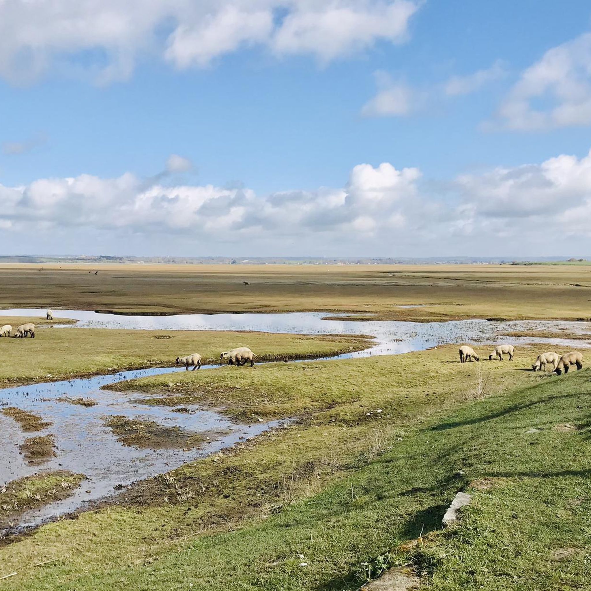
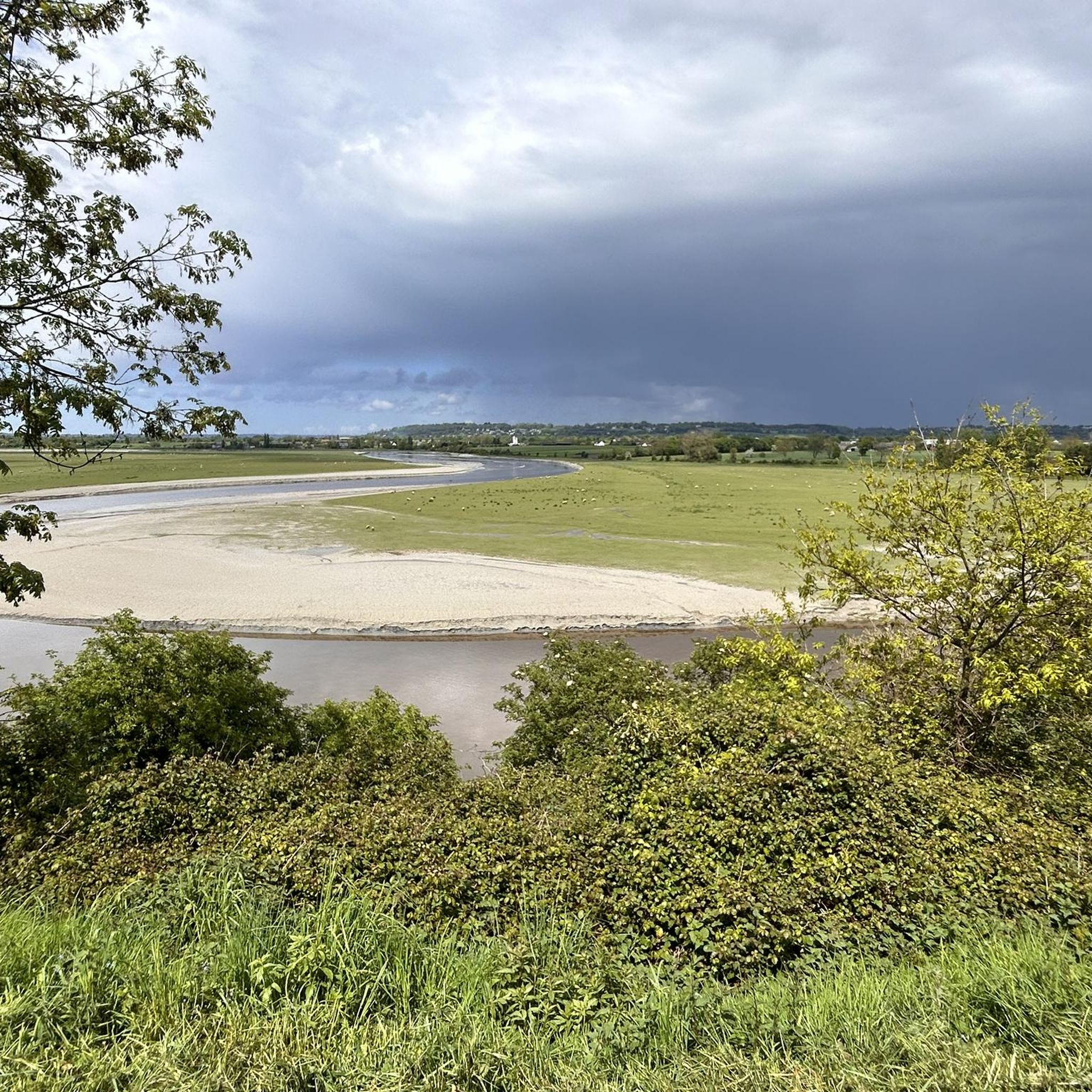
Hiking trails around La Croix-Avranchin traverse a landscape characterized by gentle rolling terrain and agricultural areas. The region features a network of paths often following quiet country roads and local tracks. Elevation changes are generally minimal, making many routes accessible. The area provides opportunities for exploring the rural environment of La Croix-Avranchin.
Best hiking trails around La Croix-Avranchin
- The most popular hiking route is Grande Rue – The mountain loop from Pontorson, a 8.3 miles (13.3 km) trail that…
Last updated: July 5, 2026
4.6
(14)
88
hikers
24.7km
06:17
70m
70m
Hard hike. Very good fitness required. Easily-accessible paths. Suitable for all skill levels.
4.6
(21)
52
hikers
9.88km
02:33
50m
50m
Moderate hike. Good fitness required. Easily-accessible paths. Suitable for all skill levels.

Sign up for free
4.6
(17)
46
hikers
7.66km
01:58
30m
30m
Easy hike. Great for any fitness level. Easily-accessible paths. Suitable for all skill levels.
4.4
(16)
94
hikers
Hard hike. Very good fitness required. Easily-accessible paths. Suitable for all skill levels.
5.0
(1)
30
hikers
18.8km
04:50
90m
90m
Moderate hike. Good fitness required. Easily-accessible paths. Suitable for all skill levels.
Get access to more routes and recommendations from other explorers.
Sign up for free
Already have an account?
Our route recommendations are based on thousands of hikes, rides, and runs completed by other people on komoot.
Start today with a free account
Your next adventure awaits.
Login or Signup

Tips from the Community

Great what they had already created back then !!
0
0

Practical for going to Pontorson station
0
0


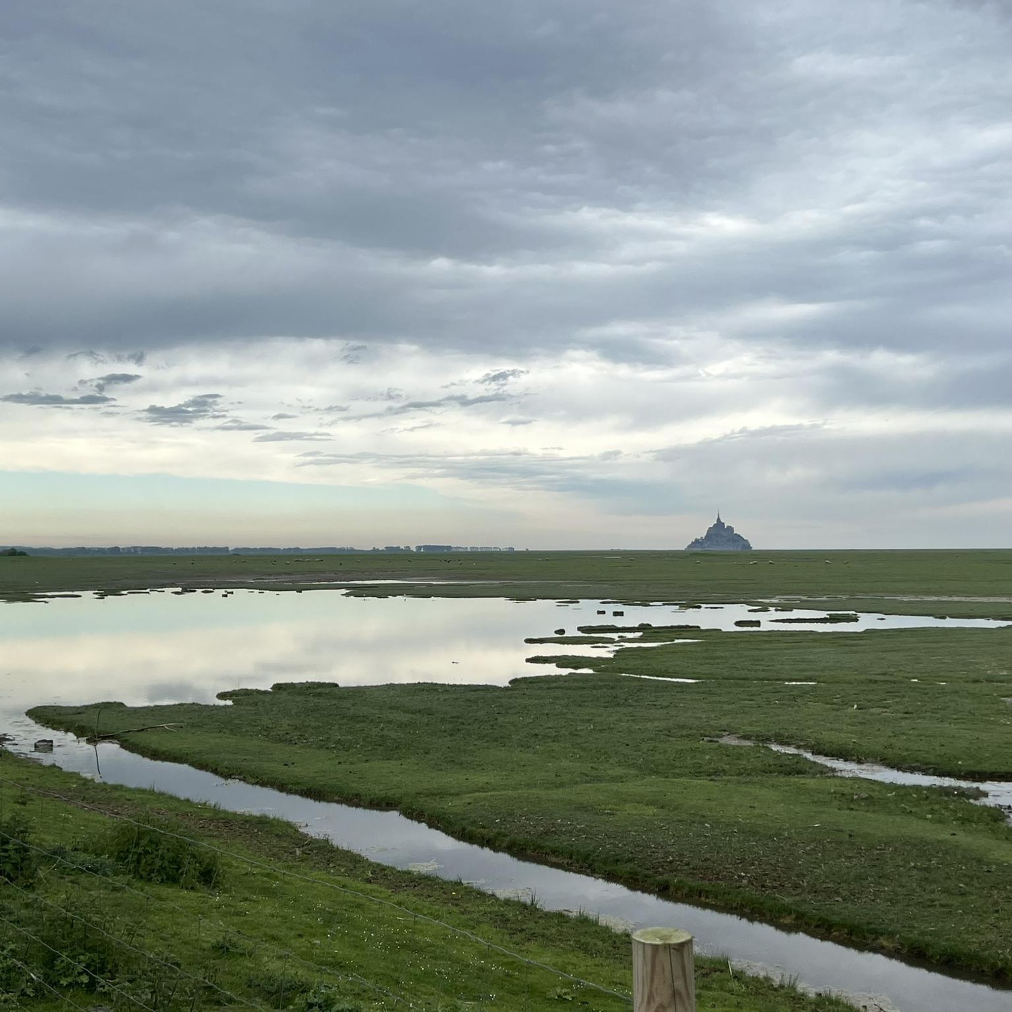
La Roche Torin is a prominent vantage point in the Bay of Mont Saint-Michel. This spot offers a unique view of the bay and is a popular destination for hikers and photographers, especially during strong tides (coefficient over 100). The tidal coefficient is the most important indicator for assessing the dynamics of the bay. A coefficient over 100 indicates spectacular tide conditions and a natural spectacle. Here in the Bay of Mont Saint-Michel, the highest tides in Europe occur, with a tidal range of up to 15 meters between high and low tide. Tidal range Mont Saint-Michel: https://tides4fishing.com/fr/basse-normandie/le-mont-saint-michel#_tidal_coefficient
1
0
The city walls of Mont Saint-Michel have protected the village since the Middle Ages and are up to 10 meters high. Several defensive towers, such as the Tour du Nord and Tour Gabriel, line the circular route. The Chemin des Remparts offers impressive views over the narrow streets, the abbey, and the expansive bay.
3
0
The King's Gate was built in the 15th century as part of the extensive fortifications that made Mont Saint-Michel a virtually impregnable fortress during the Hundred Years' War. Behind the simple stone architecture lies a sophisticated defense system: The gate was once secured by a drawbridge, a portcullis, and several locking mechanisms. Attackers attempting to conquer the Mont had to break through several gates one after the other.
3
0
The higher you climb, the quieter it becomes. Small side streets, hidden staircases, and wall passages lead to vantage points and quiet corners from which you can survey the expanse of the bay. Particularly impressive is the walk along the old fortifications – the battlements and walls, from which you can observe the mighty tides.
1
0
Frequently Asked Questions
How many hiking trails are available around La Croix-Avranchin?
There are over 130 hiking routes in the La Croix-Avranchin area. These trails traverse a landscape characterized by gentle rolling terrain and agricultural areas, offering a variety of options for exploration.
What kind of terrain can I expect on hikes in La Croix-Avranchin?
Hikes in La Croix-Avranchin typically feature gentle rolling terrain and agricultural landscapes. You'll often find yourself on quiet country roads and local tracks, with generally minimal elevation changes, making many routes accessible.
Are there easy hiking trails suitable for beginners or families in La Croix-Avranchin?
Yes, the region offers a good selection of easy trails. With 66 routes classified as easy, many of which have minimal elevation gain, La Croix-Avranchin is well-suited for beginners, families, or those looking for a relaxed walk. Consider the View of Mont Saint-Michel – La Roche Torin loop from Courtils for a pleasant easy option.
Are there any long-distance hiking options near La Croix-Avranchin?
While many routes are shorter, there are longer options for those seeking more distance. For example, the Pont d'Orson – Beautiful avenue loop from Pontorson covers 11 miles (17.8 km), providing a substantial walk through rural paths and avenues.
Can I find circular walks in the La Croix-Avranchin area?
Yes, many of the hiking routes around La Croix-Avranchin are designed as circular loops, allowing you to start and end at the same point. This includes popular trails like the Grande Rue – The mountain loop from Pontorson.
What are some interesting natural sights or landmarks to see while hiking?
The region offers several points of interest. You can explore the Banks of the Sélune at Pontaubault or the Sélune Estuary for natural beauty. For historical landmarks, the Saint-Benoît Polishing Stone is a unique highlight.
Are there any good viewpoints or places to see Mont Saint-Michel from the trails?
Yes, several routes offer views of Mont Saint-Michel. The La Roche Torin – View of Mont Saint-Michel loop from Céaux is specifically noted for its rural landscapes and potential views. Additionally, the Beautiful view of Mont-Saint-Michel (Barrage) is a dedicated viewpoint highlight.
What do other hikers enjoy most about hiking in La Croix-Avranchin?
The area is highly rated by the komoot community, with an average score of 4.4 stars from over 1,900 reviews. Hikers often praise the peaceful rural environment, the gentle gradients, and the opportunity to explore the agricultural vistas.
Is La Croix-Avranchin suitable for dog-friendly walks?
Given the rural nature of La Croix-Avranchin with its country roads and tracks, many trails are generally suitable for walking with dogs. However, always ensure your dog is under control, especially near livestock or in agricultural areas, and check local regulations for specific routes.
What is the best time of year to go hiking in La Croix-Avranchin?
The gentle terrain of La Croix-Avranchin makes it enjoyable for hiking throughout much of the year. Spring and autumn offer pleasant temperatures and beautiful scenery, while summer provides longer daylight hours. Even in winter, with appropriate gear, the minimal elevation changes can make for accessible walks, though paths might be muddier.
Are there any challenging hikes in the area?
While the region is known for its gentle terrain, there are a few routes that offer a bit more challenge, with 3 routes classified as difficult. These might involve longer distances or slightly more varied ground, though significant elevation is not typical. For a longer moderate option, consider the La Roche Torin – View of Mont Saint-Michel loop from Courtils, which covers nearly 19 km.
Most popular routes around La Croix-Avranchin
Most popular attractions around La Croix-Avranchin

Get inspired with the komoot mobile app


Explore more
Browse the best Hikes in other regions.
