The best road cycling routes around Serres
4.5
(146)
3,050
riders
31
rides
Road cycling around Serres offers diverse terrain, from extensive flat plains to challenging mountainous regions. The landscape is characterized by rolling hills and prominent mountain ranges such as Lailias, Menikio, Belles, Orvilos, and Pangaio, providing significant elevation gains. Cyclists can also find routes around Lake Kerkini, which feature flatter sections. This variety allows for routes catering to different fitness levels and preferences.
Best road cycling routes around Serres
- The most popular road cycling route is Three cols - Parc naturel…
Last updated: July 7, 2026
22
riders
121km
06:22
2,260m
2,260m
Hard road ride. Very good fitness required. Mostly well-paved surfaces and easy to ride.
4.6
(8)
121
riders
68.3km
03:19
920m
920m
Hard road ride. Very good fitness required. Mostly well-paved surfaces and easy to ride.

Sign up for free
5.0
(5)
105
riders
95.2km
05:04
1,840m
1,840m
Hard road ride. Very good fitness required. Mostly well-paved surfaces and easy to ride.
39
riders
102km
04:41
1,150m
1,150m
Hard road ride. Very good fitness required. Mostly well-paved surfaces and easy to ride.
5.0
(1)
19
riders
110km
05:56
2,190m
2,190m
Hard road ride. Very good fitness required. Mostly well-paved surfaces and easy to ride.
Get access to more routes and recommendations from other explorers.
Sign up for free
Already have an account?
Our route recommendations are based on thousands of hikes, rides, and runs completed by other people on komoot.
Start today with a free account
Your next adventure awaits.
Login or Signup
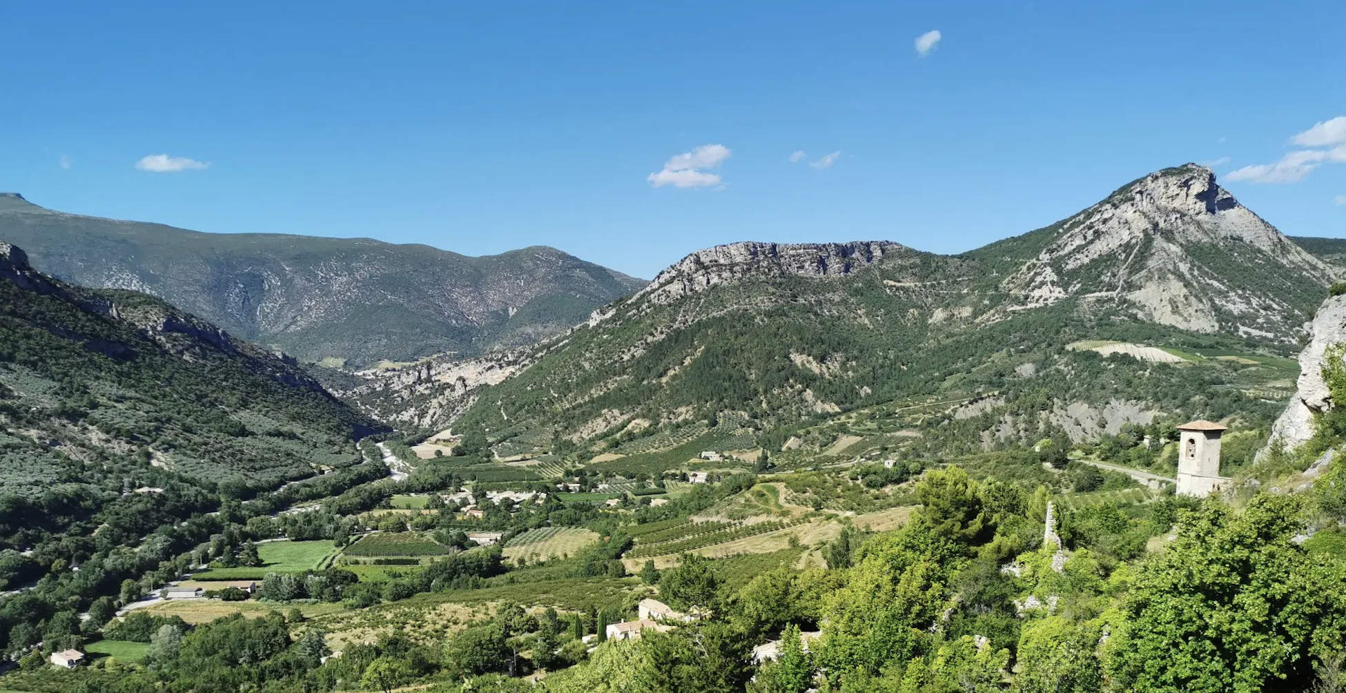
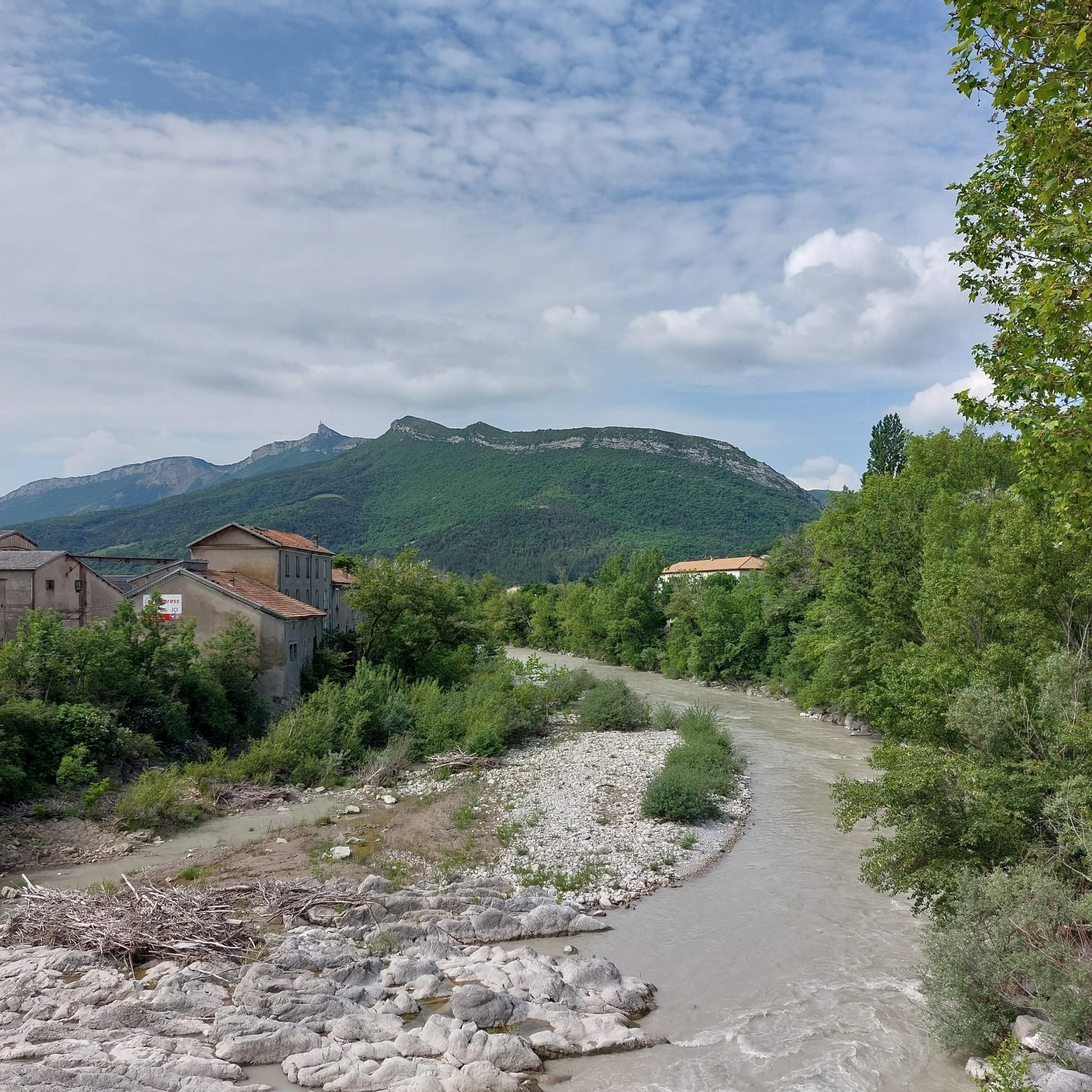
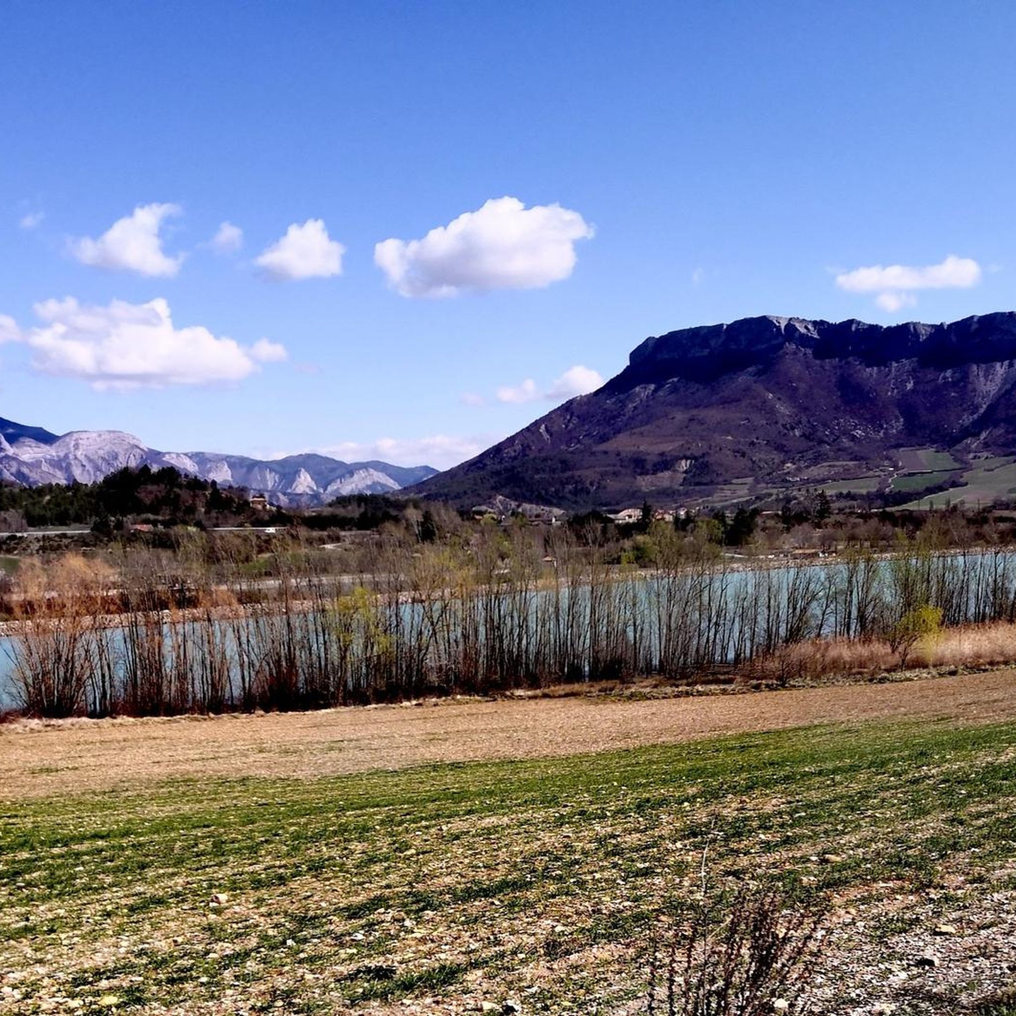
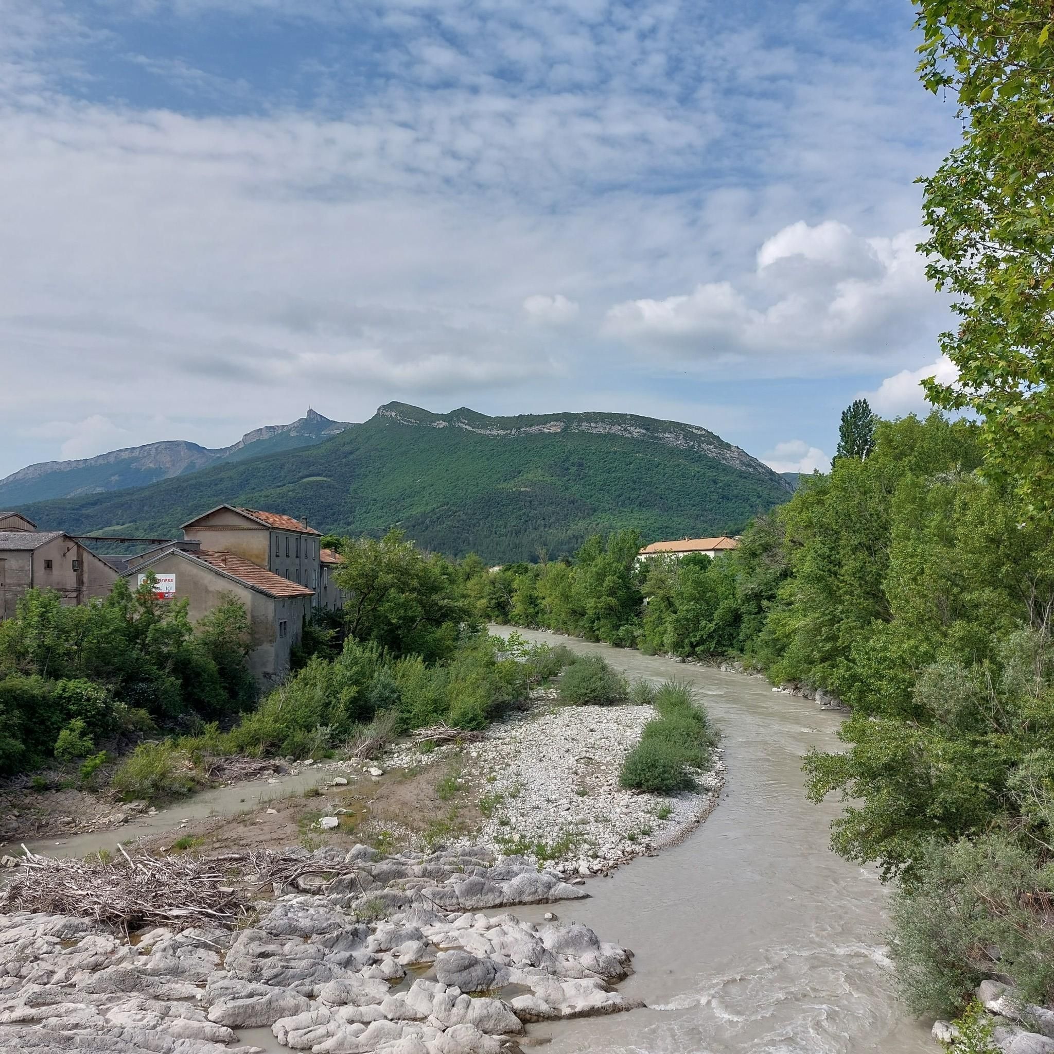

Other adventures around Serres

Tips from the Community

For cyclists it's a climb: * Length: approx. 7 km * Elevation gain: approx. 320 m * Average gradient: 4.6% * Maximum gradient: approx. 5%
2
0
The Col de Soubeyrand (987–994 m, depending on the map source) is located in the Drôme department, in the Auvergne-Rhône-Alpes region, within the Baronnies provençales massif. It connects the Eygues valley with the Ennuye valley, between the villages of Rémuzat and Sainte-Jalle.
4
0
The Col de Peyruergue (794 m) is a pass located in the Drôme department, within the Parc naturel régional des Baronnies provençales. It connects the Ennuye valley with that of the Ouvèze, near Saint-Sauveur-Gouvernet.
3
0
Col de Perty is located in the Baronnies Provençales massif, in the Drôme department, in the Auvergne-Rhône-Alpes region, in the southeast of France. It reaches an altitude of 1,302 m and connects the Ouvèze valley with the Orpierre area, in the Hautes-Alpes.
5
0
Secondary road with excellent asphalt.
7
0
A road that cuts out the traffic, Unforgettable panoramas
11
0
The Col de Faye is a mountain pass in the Southern Alps, located in the department of Hautes-Alpes at an altitude of approximately 922 to 924 meters. It connects the Buëch valley to the Durance valley — between the municipalities of Savournon and Ventavon — via the departmental road D21.
13
0
Orpierre is a small medieval village located in the Hautes-Alpes department in the Provence-Alpes-Côte d’Azur region of southeastern France. It has a population of between 300 and 330 inhabitants and stands in the Céans valley, surrounded by limestone cliffs and mountains that give it a unique landscape setting.
12
0
Frequently Asked Questions
What kind of terrain can I expect when road cycling around Serres?
Serres offers a diverse landscape for road cyclists. You'll find extensive flat plains, rolling hills, and challenging mountainous regions with significant elevation gains, particularly in ranges like Lailias, Menikio, Belles, Orvilos, and Pangaio. Routes around Lake Kerkini tend to be flatter, providing options for various preferences and fitness levels.
How many road cycling routes are available in the Serres region?
There are over 20 road cycling routes documented in the Serres region on komoot, catering to different skill levels. This includes 1 easy route, 6 moderate routes, and 15 difficult routes, ensuring a suitable option for every road cyclist.
Are there any challenging road cycling routes for experienced riders in Serres?
Yes, Serres is well-known for its challenging road cycling routes. For instance, the Three cols - Parc naturel régional des Baronnies Provençales is a difficult 121.3 km trail with substantial elevation gain. Another demanding option is the Col de la Haute Beaume loop from Serres, a 68 km path featuring significant climbs and descents.
What are some scenic natural features to look out for on road cycling routes in Serres?
Many routes in Serres wind through picturesque countryside, including quaint villages, vineyards, and olive groves. You can also find routes near the serene Kerkini Lake, an artificial reservoir surrounded by lush greenery. The Agioi Anargyroi Valley and Agios Ioannis areas offer green landscapes and waters, while the Krousia Mountains provide rugged backdrops.
Are there any historical landmarks or attractions I can visit along road cycling routes in Serres?
Absolutely. Serres offers several historical and cultural points of interest. You might pass by the ancient Acropolis of Serres, the Byzantine Castle, or the significant Monastery of Saint John the Baptist. For example, the La Charce Castle – Col de Carabès loop from Serres takes you through mountainous terrain where you can appreciate the region's history.
What do other cyclists say about road cycling in Serres?
The road cycling routes in Serres are highly regarded by the komoot community, with an average rating of 4.5 out of 5 stars from over 60 reviews. Cyclists often praise the diverse terrain, from challenging mountain passes to scenic routes through the countryside, and the well-maintained paved surfaces ideal for road biking.
Are there any moderate road cycling routes suitable for intermediate riders?
Yes, Serres offers several moderate routes. The Route de Sigottier – Col de Carabès loop from Serres is a moderate 30.4 km route that provides a good balance of challenge and enjoyment without the extreme demands of the more difficult climbs. The region has a total of 6 moderate routes to explore.
Can I find routes that offer views of mountain passes around Serres?
Many routes in Serres feature stunning mountain passes. Notable passes you might encounter include Col de Carabès, Faye Pass, Col des Tourette (1126 m), and Col de la Saulce (877 m). These passes often provide panoramic views of the surrounding landscapes.
Are there any specific routes that pass by castles or old structures?
Yes, you can find routes that incorporate historical structures. For instance, the La Charce Castle – View of the Old Castle loop from Serres is a difficult 99.8 km route that allows you to cycle past significant historical points, including views of old castles.
What is the best time of year for road cycling in Serres?
While specific seasonal weather details are not provided, the diverse terrain of Serres suggests that spring and autumn would likely offer the most comfortable temperatures for road cycling, avoiding the peak heat of summer and potential winter conditions in mountainous areas. The region's natural beauty, from vineyards to mountains, is enjoyable across many seasons.
Are there any bike-friendly facilities available in Serres for cyclists?
Yes, the municipality of Serres has been actively developing its cycling infrastructure. This includes mapping and signage for routes, and you can often find bike-friendly accommodations that offer secure storage and repair kits. There are also local bike shops and clubs that can provide advice and guided trips, enhancing the cycling experience.
Most popular attractions around Serres

Get inspired with the komoot mobile app


Explore more
Browse the best Road cycling routes in other regions.
