Top 6 Mountain Passes around Pelleautier
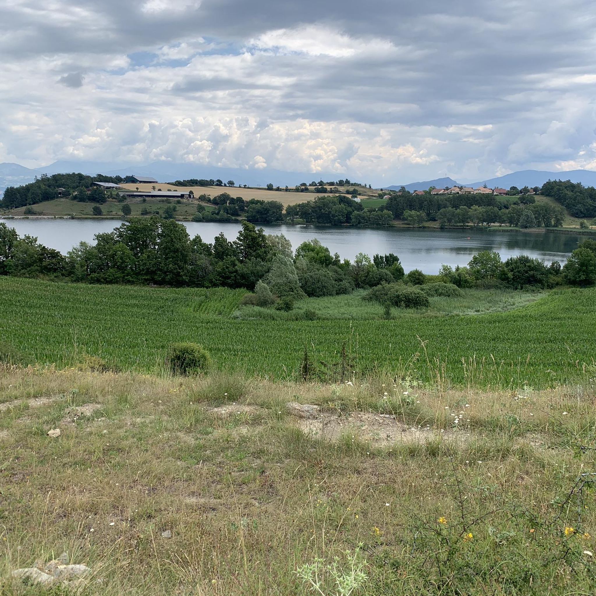
Best mountain passes around Pelleautier are found in the Hautes-Alpes department of France, a region characterized by its Alpine landscapes. The area offers a variety of mountain passes, from those connecting valleys to challenging climbs. These passes provide access to diverse natural features, including unique geological formations and panoramic views. Pelleautier serves as a base for exploring these routes within the broader Hautes-Alpes region.
Best mountain passes around Pelleautier
- The most popular mountain pass is Espréaux Pass, a mountain…
Last updated: June 26, 2026
Espréaux Pass
Highlight • Mountain Pass
Translated by Google •
Tip by

Verniers Pass
Highlight • Mountain Pass
Translated by Google •
Tip by

Sign up now to discover places like this
Get recommendations on the best single tracks, peaks, & plenty of other exciting outdoor places.
Sign up for free
Tourrond Pass
Highlight • Mountain Pass
Translated by Google •
Tip by
Massif de Céüse
Highlight (Segment) • Climb
Translated by Google •
Tip by
Ascent to Manse
Highlight (Segment) • Mountain Pass
Translated by Google •
Tip by

Sign up for free to discover even more mountain passes around Pelleautier.
Sign up for free
Already have an account?
Start today with a free account
Your next adventure awaits.
Login or Signup


Tips from the Community


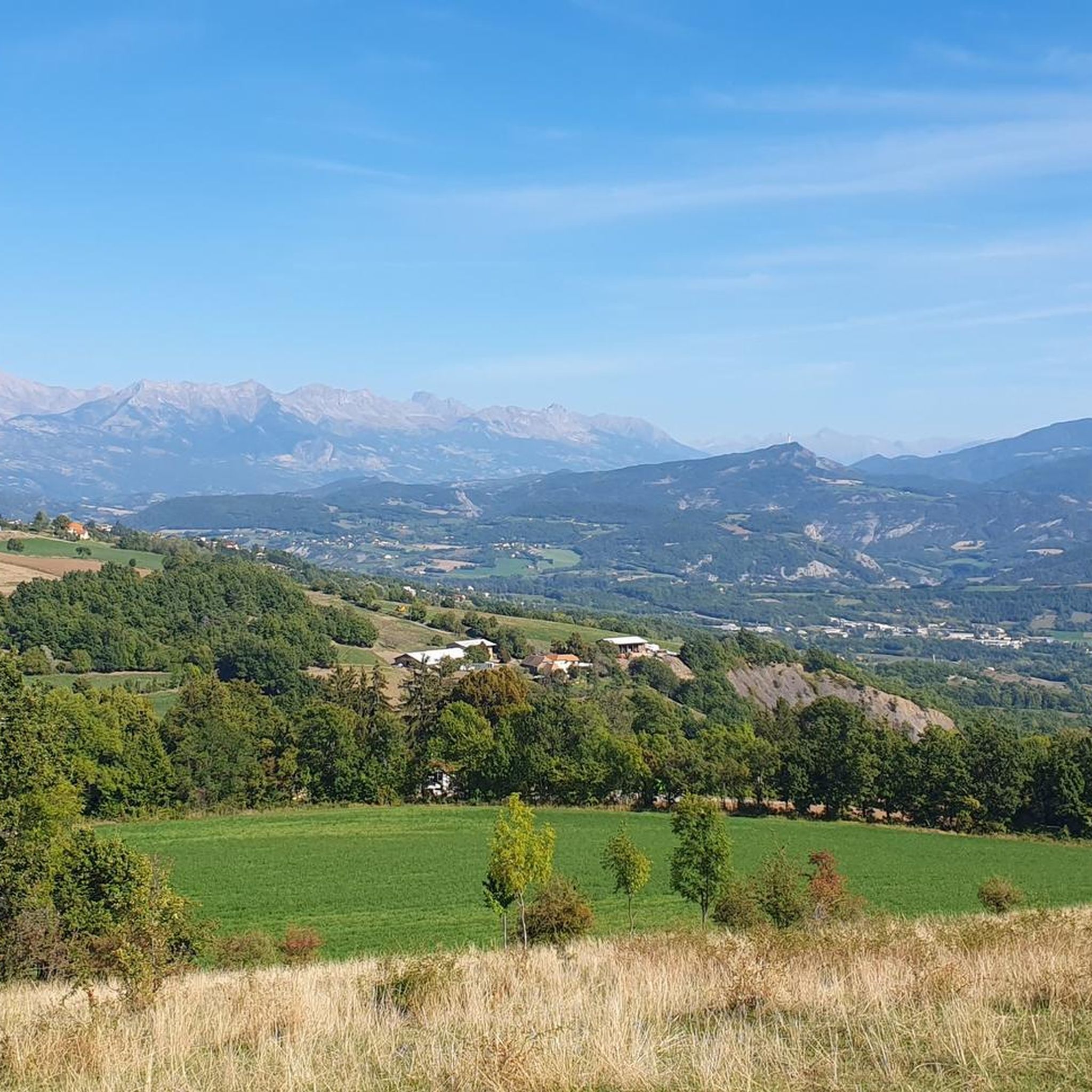
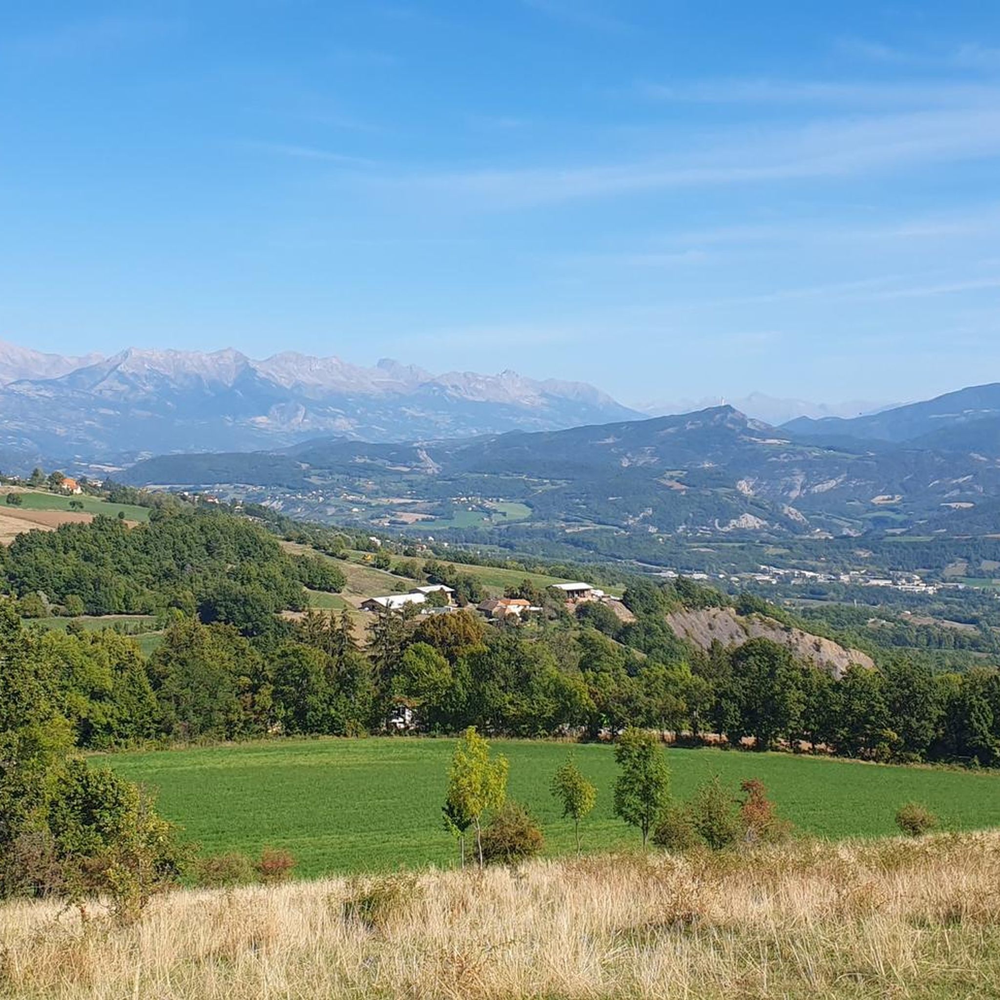
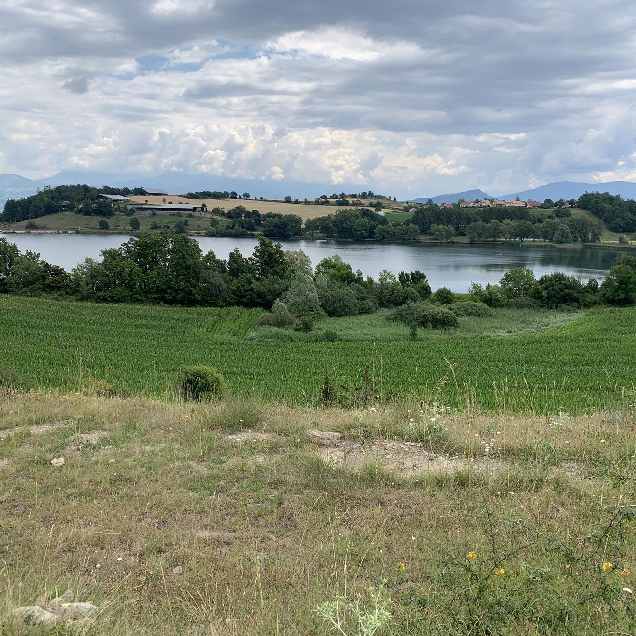
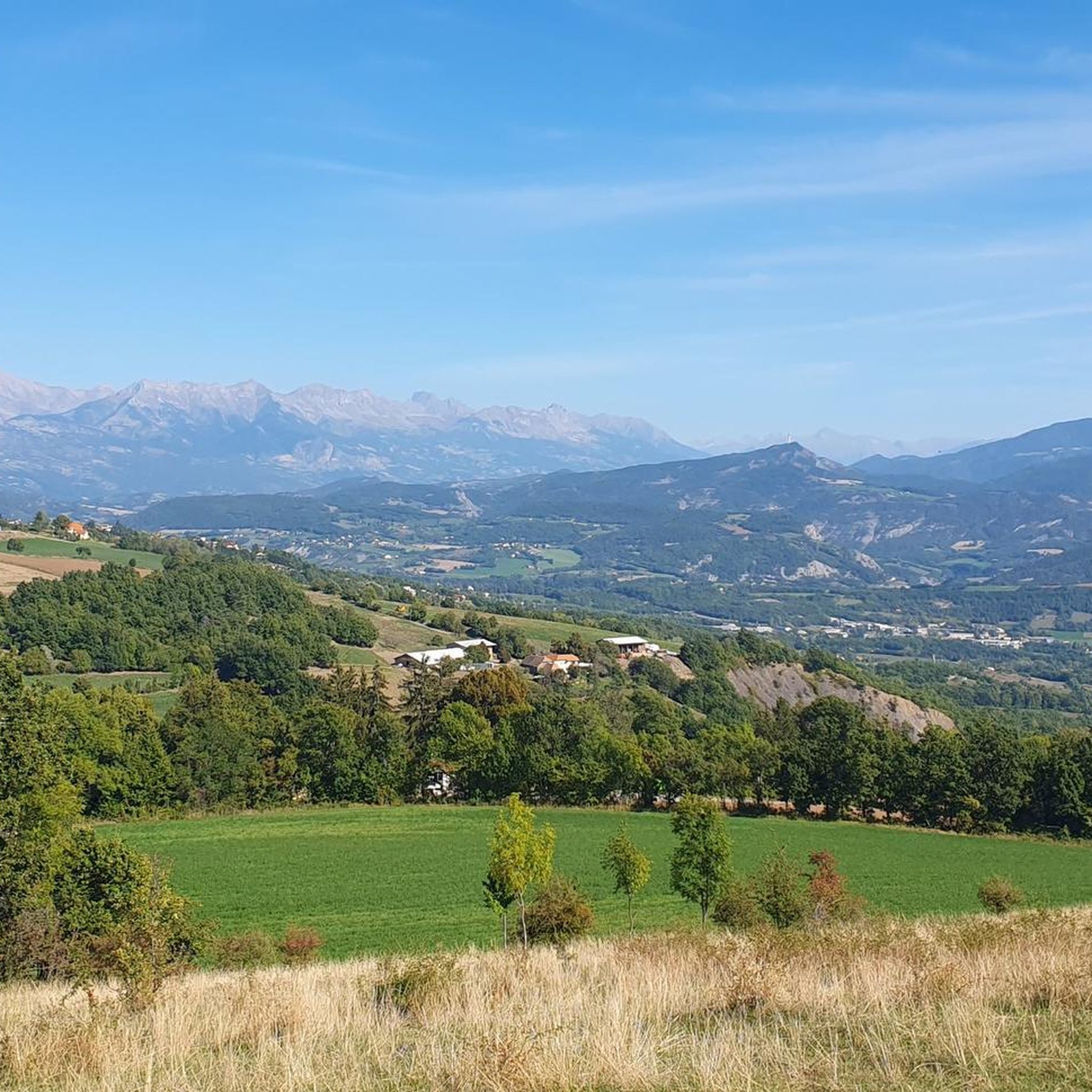
A pass lost in the mountains, a very small road with very few cars and magnificent landscapes
1
0

The shorter and less difficult part of the pass, watch out for the gravel on the descent, magnificent shaded landscape towards Notre Dame du Laus
0
0

Really pleasant ascent of the north slope. Road with little traffic and very pretty marl landscapes.
1
0

The Col d'Espréaux connects the Buëch valley and the Durance valley at an altitude of 1,160 meters. This passage offers unique and spectacular landscapes in the Southern Alps.
1
0

Superb passes without big challenge with magnificent landscapes. a treat during the RAF 500 2023 even in the rain :-)
2
1

Col d'Espréaux, at 1160 meters above sea level, which connects Plan de Vitrolles to Veynes, via the road of the perched villages.
3
1

The Col du Tourrond from Jarjayes is 3.5 km long with an average gradient of 4.5%, however there is a downhill part in the middle. The last section of this climb has inclines of 8-9%.
1
0
Frequently Asked Questions
What are some of the most popular mountain passes near Pelleautier?
Near Pelleautier, Espréaux Pass is highly regarded for its unique geological formations, known as 'marls'. Other popular options include Tourrond Pass, which offers a quiet, paved climb through a forest, and Verniers Pass, known for its scenic ascent via Châteauneuf d'Oze.
What unique natural features can I expect to see at the mountain passes around Pelleautier?
The region is renowned for its stunning Alpine landscapes. At Espréaux Pass, you can observe fascinating 'marls' – geological formations where limestone-rich rocks have eroded into distinctive geometric shapes. Further afield in the Hautes-Alpes, the Col de l'Izoard features the almost lunar landscape of the 'Casse Déserte'.
Are there challenging mountain passes for experienced cyclists or hikers in the Hautes-Alpes region?
Absolutely. For a challenging climb near Pelleautier, consider the Massif de Céüse, which features an average gradient of 8.5% and maximums of 10%. In the broader Hautes-Alpes, the Col du Galibier and Col de la Bonette are legendary for their demanding ascents and high altitudes, attracting serious cyclists and adventurers.
What is the best time of year to visit the mountain passes around Pelleautier?
The best time to visit is typically from late spring to early autumn (May to October) when the weather is milder and most passes are clear of snow. This period offers ideal conditions for cycling, hiking, and enjoying the panoramic views. Some higher passes in the broader Hautes-Alpes region may open later in the season, usually by June.
Are there family-friendly options among the mountain passes near Pelleautier?
While specific 'family-friendly' categories aren't always assigned to passes, many routes offer varying difficulties. Passes with lower average gradients and quieter roads, such as parts of the ascent to Ascent to Manse or the pleasant north slope of Espréaux Pass, can be more suitable for families looking for a less strenuous experience. Always check the specific route details for elevation and terrain.
What outdoor activities can I do near these mountain passes?
The region around Pelleautier is excellent for various outdoor activities. You can find numerous routes for cycling, gravel biking, and mountain biking. For cycling, explore options like the 'Lac de Pelleautier – loop at the foot of the mountain of Céüse' or the 'Pelleautier Lake – Col du Villard loop'. Mountain biking enthusiasts can tackle routes like the 'Lake Pelleautier – Ceuze pike loop'. You can find more details on these activities in the Cycling around Pelleautier, Gravel biking around Pelleautier, and MTB Trails around Pelleautier guides.
What do visitors enjoy most about the mountain passes in this area?
Visitors frequently praise the tranquility and stunning natural beauty. The quiet roads, shaded landscapes, and superb panoramas are often highlighted. The unique geological formations at Espréaux Pass are particularly captivating, and the peaceful, forested climbs like that of Tourrond Pass are highly appreciated.
Are there any mountain passes in the Hautes-Alpes that are open all year round?
Yes, the Col du Lautaret, located between Grenoble and Briançon, is notable for being open all year round. It serves as a crucial natural border between the Southern and Northern Alps and offers exceptional panoramic views of the surrounding peaks, including the Écrins Massif.
What are the typical gradients and lengths of the ascents for passes near Pelleautier?
The passes around Pelleautier offer a range of gradients. For instance, the ascent of Tourrond Pass from Jarjayes is 3.5 km long with an average gradient of 4.5%, featuring inclines of 8-9% in its final section. Verniers Pass has a 2.4 km ascent with an average gradient of 5.1% and a maximum of 11%. The Massif de Céüse climb is more challenging at 6.6 km with an 8.5% average and 10% maximum.
Are there any particularly high mountain passes in the broader Hautes-Alpes region?
Yes, the Hautes-Alpes region is home to some of the highest passes in the French Alps. The Col du Galibier reaches 2,645 meters, offering wild and spectacular scenery. Even higher is the Col de la Bonette, with a road that loops around its summit to an impressive 2,802 meters, often cited as the highest paved road in Europe.
What should I wear when hiking or cycling in the mountain passes around Pelleautier?
Given the Alpine environment, it's advisable to dress in layers, even during warmer months, as weather conditions can change rapidly. Essential items include moisture-wicking base layers, insulating mid-layers, and a waterproof/windproof outer shell. Sturdy hiking boots or appropriate cycling shoes, sun protection (hat, sunglasses, sunscreen), and sufficient water are also crucial.
Are there any passes known for their historical significance in cycling?
The Col de l'Izoard is a legendary pass in the Hautes-Alpes, particularly famous among cyclists and a regular feature of the Tour de France. Its dramatic landscapes and challenging ascent have made it an iconic part of cycling history.
Most popular routes around Pelleautier
Most popular attractions around Pelleautier

Get inspired with the komoot mobile app


Explore more
See even more epic mountain passes by checking out these guides around Pelleautier:
