The best mountain hikes around Le Monêtier-Les-Bains
5.0
(29)
210
hikers
27
hikes
Mountaineering routes around Le Monêtier-Les-Bains traverse a high-alpine landscape characterized by rugged peaks, glacial valleys, and numerous mountain lakes. The region, situated in the French Alps, features challenging ascents and descents through rocky terrain and past high-altitude refuges. This area offers extensive opportunities for advanced mountaineering, with routes often leading above the tree line into exposed environments.
Best mountaineering routes around Le Monêtier-Les-Bains
- The most popular mountaineering route is Handrail, steep passage – The Grand Lake loop from Pont de l'Alp, a 5.2 miles (8.4 km) trail that takes 3 hours 58 minutes to complete. This route features significant elevation gain and challenging sections.
- Another top favourite among local mountaineers is Lac des Béraudes loop from Plan Lachat, a moderate 6.2 miles (10.0 km) path. This trail offers views of alpine lakes and surrounding peaks.
- Local mountaineers also love the Refuge du Pavé loop from Groupe Scolaire La Meije, a 15.9 miles (25.5 km) trail leading through high mountain passes, often completed in about 10 hours 52 minutes.
- Mountaineering around Le Monêtier-Les-Bains is defined by high-altitude lakes, challenging ascents, and alpine refuges. The network offers options for different ability levels, with a focus on difficult and moderate routes.
- The routes in Le Monêtier-Les-Bains are highly rated by the komoot community with an average score of 4.9 stars from over 40 reviews. More than 300 mountaineers have used komoot to explore Le Monêtier-Les-Bains's varied terrain.
Last updated: July 1, 2026
5.0
(1)
18
hikers
25.9km
11:11
1,380m
1,380m
Hard mountaineering route. Very good fitness required. Mostly accessible paths. Sure-footedness required.
14
hikers
14.3km
06:50
1,080m
1,080m
Hard mountaineering route. Very good fitness required. Sure-footedness, sturdy shoes and alpine experience required.

Sign up for free
5.0
(2)
13
hikers
13.5km
05:35
760m
760m
Hard mountaineering route. Very good fitness required. Mostly accessible paths. Sure-footedness required.
13
hikers
23.1km
11:01
1,450m
1,450m
Hard mountaineering route. Very good fitness required. Sure-footedness, sturdy shoes and alpine experience required.
5.0
(2)
9
hikers
17.7km
07:28
950m
950m
Hard mountaineering route. Very good fitness required. Sure-footedness, sturdy shoes and alpine experience required.
Get access to more routes and recommendations from other explorers.
Sign up for free
Already have an account?
Our route recommendations are based on thousands of hikes, rides, and runs completed by other people on komoot.
Start today with a free account
Your next adventure awaits.
Login or Signup
Popular around Le Monêtier-Les-Bains

8 hikes in the Hautes-Alpes — mountain passes and high-altitude lakes
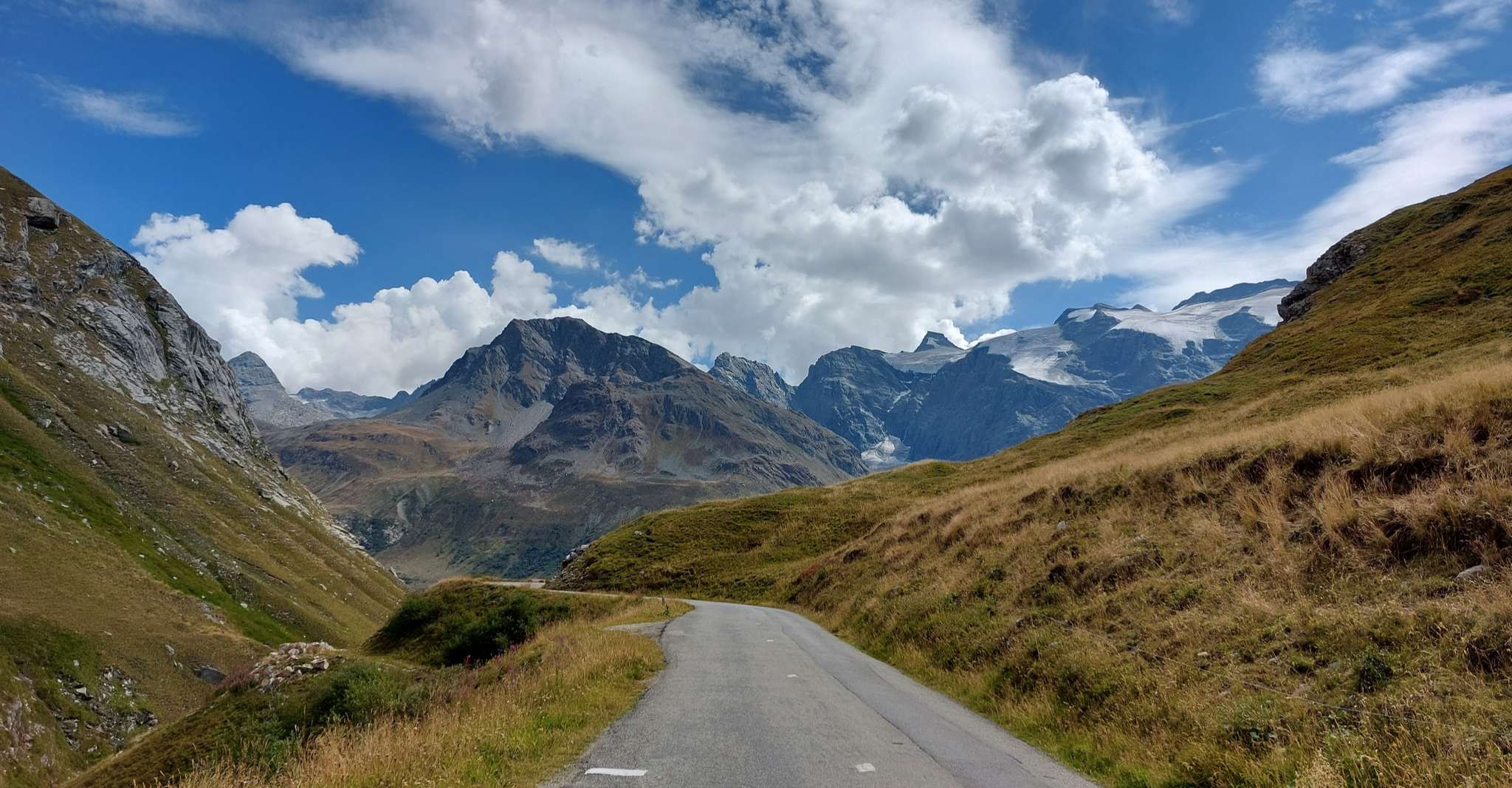
Briançon to Aosta – travelling across the Alps (part 2)
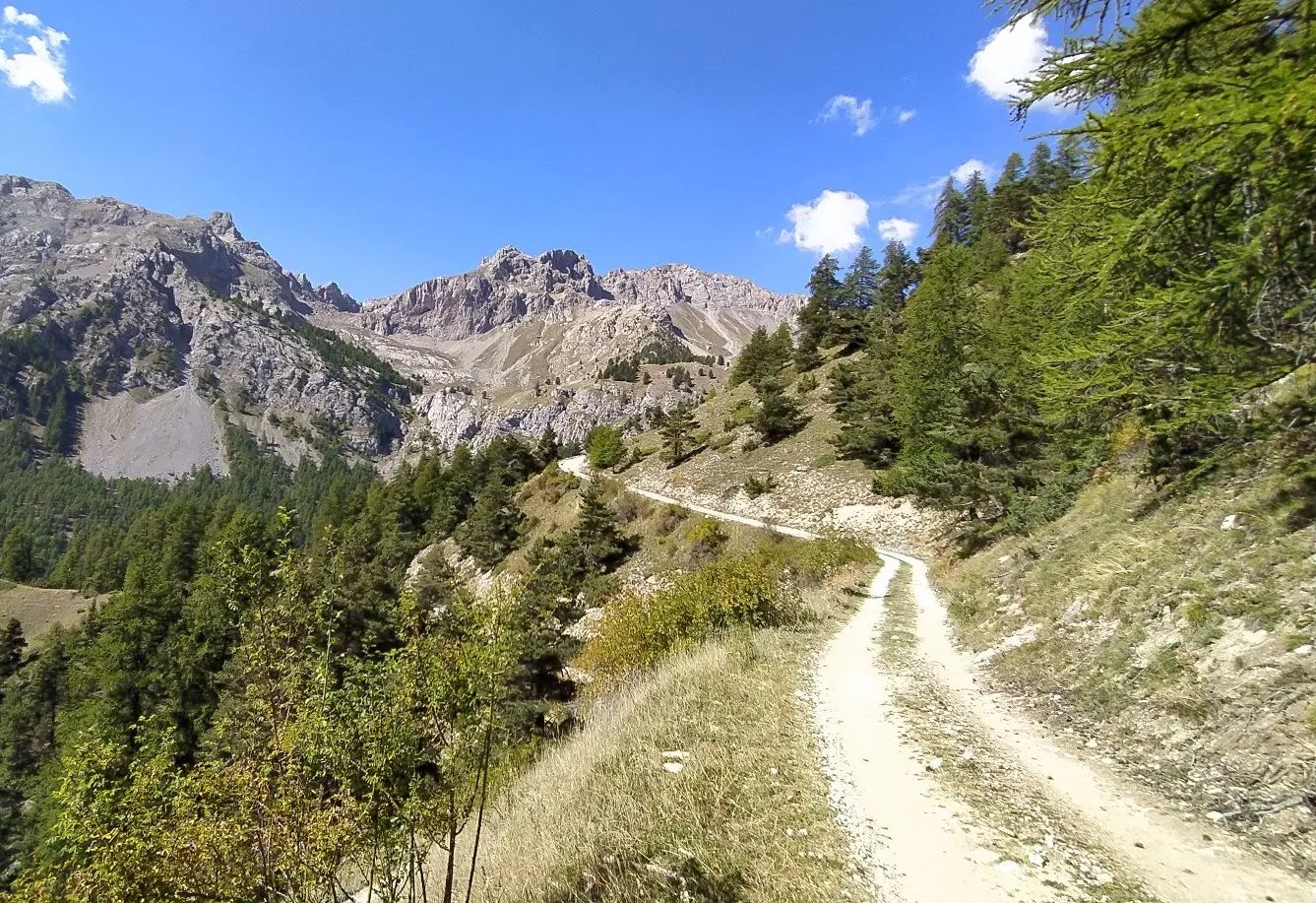
High in the Western Alps – Grand Tour des Écrins by MTB

Écrins, Belledonne and Vercors – HexaTrek, Hautes-Alpes

Hike from Savoie to Vanoise – Hexatrek in France’s Northern Alps
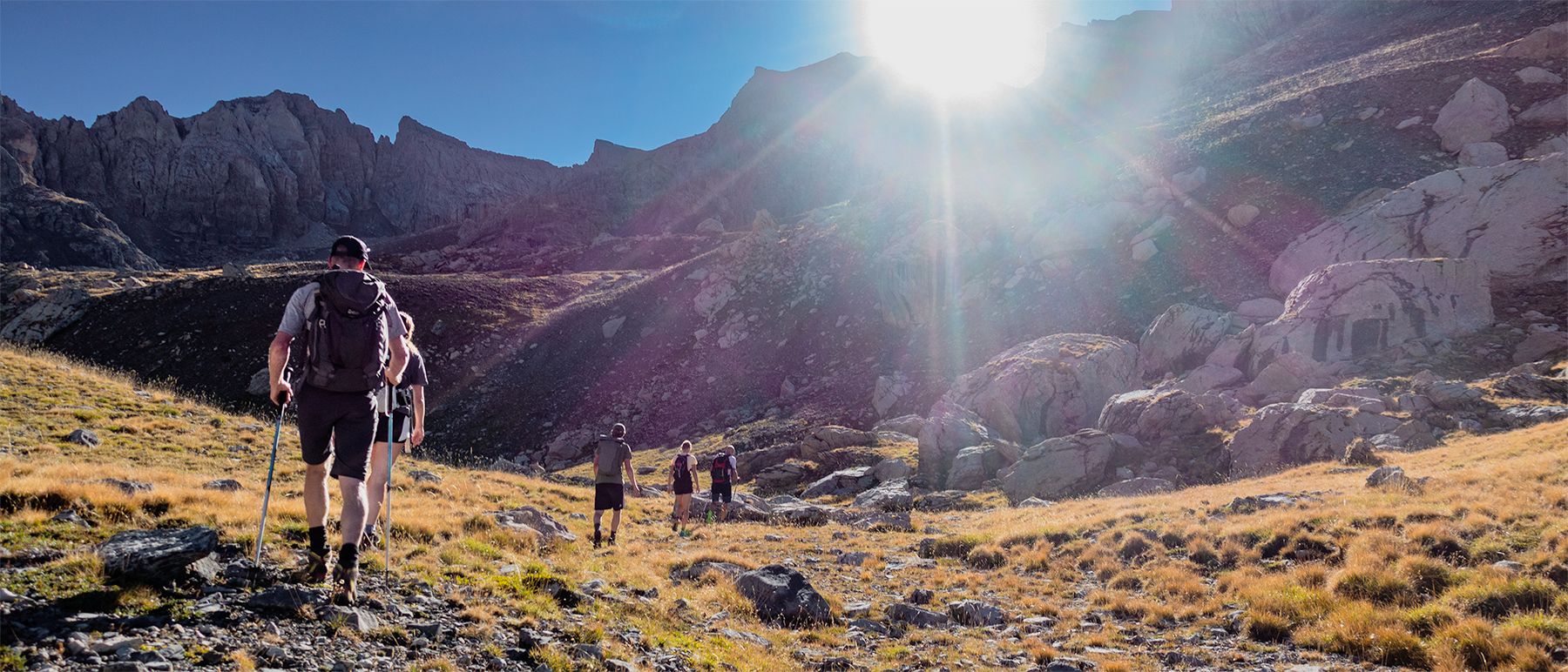
Écrins National Park and more – hikes in and around Puy Saint Vincent
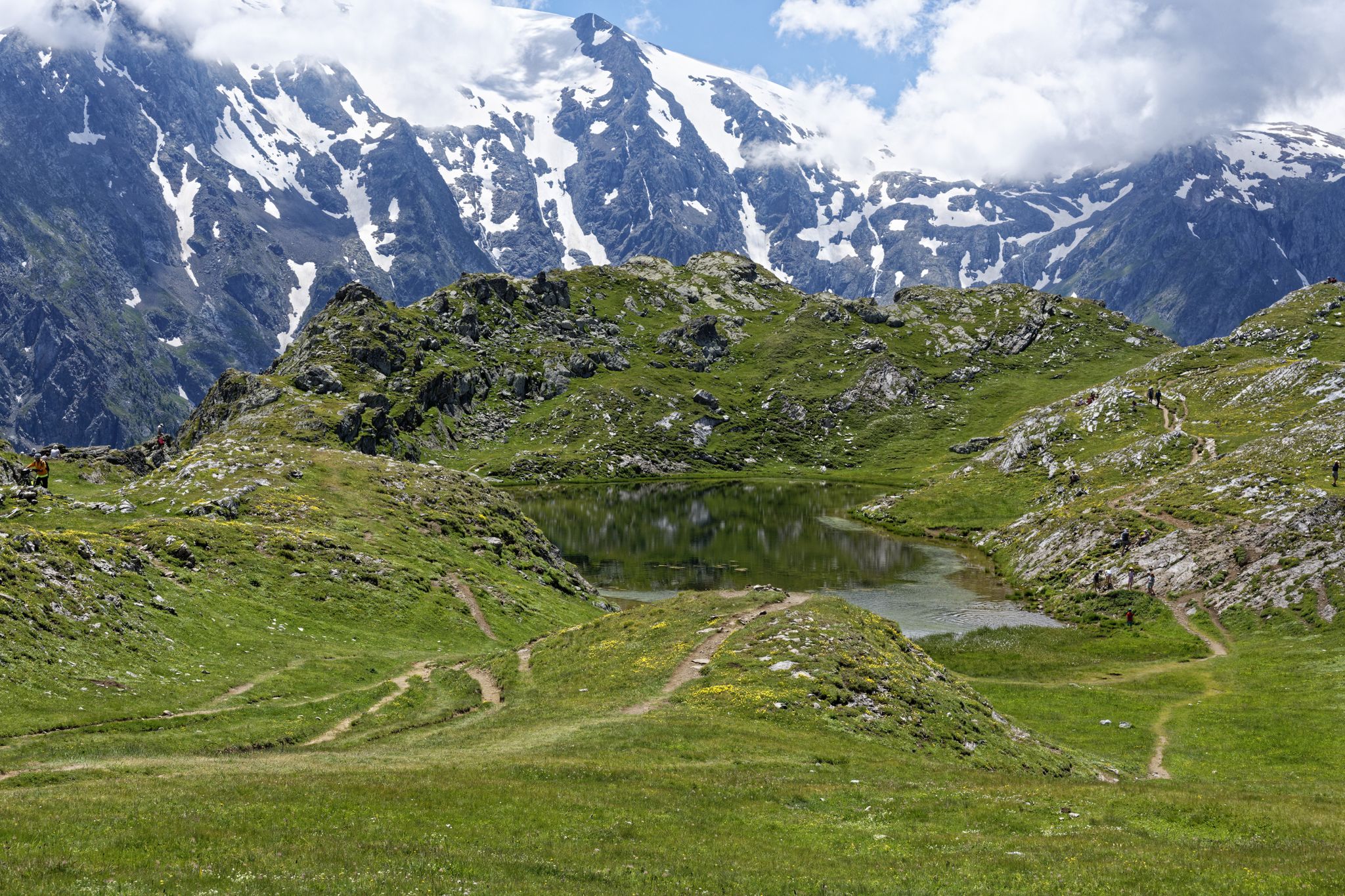
Exploring the Oisans and the Écrins in France — the GR 54

Legendary passes of the Tour de France
Hiking around Le Monêtier-Les-Bains
Road Cycling Routes around Le Monêtier-Les-Bains
Other adventures around Le Monêtier-Les-Bains


Tips from the Community

https://youtu.be/AkxhPles800 An incredibly impressive pass. Very doable by mountain bike. The singletrack down into the valley to the south is one of the most beautiful I've ever ridden. It will stay with you forever.
0
0

nice view over the GrandLac and on the Grand Galibier
0
0

Very beautiful lake. Accessible with a dog, from the lake the path goes through the heart of the Ecrins, dogs are then prohibited even on a leash. The signage is well done at the top.
0
0

The shelter team was great, the location was ideal. I'll be back. Olivier
0
0

The springs are not very spectacular, they appear in the form of resurgences under the scree
0
0

You'll have to push a bit, but don't be afraid of the S3, which Komoot has marked as black. You can also push it up with an e-bike and the whole route is a dream.
1
0
Frequently Asked Questions
What kind of mountaineering routes can I expect around Le Monêtier-Les-Bains?
The region around Le Monêtier-Les-Bains is characterized by high-alpine landscapes, rugged peaks, glacial valleys, and numerous mountain lakes. You'll find challenging ascents and descents through rocky terrain, often leading above the tree line into exposed environments. The routes primarily cater to moderate and difficult skill levels, with over 30 challenging options available.
Are there any circular mountaineering routes in the area?
Yes, many routes in Le Monêtier-Les-Bains are designed as loops, allowing you to start and finish at the same point. For example, the Handrail, steep passage – The Grand Lake loop from Pont de l'Alp is a popular difficult option, or consider the moderate Lac des Béraudes loop from Plan Lachat.
What is the best time of year for mountaineering in Le Monêtier-Les-Bains?
The prime season for mountaineering in the high-alpine terrain around Le Monêtier-Les-Bains is typically from late June to early September, once the snow has largely melted from higher elevations. Always check local conditions and weather forecasts, as conditions can change rapidly in the mountains.
Are there any easier mountaineering routes suitable for beginners or families?
While the region is known for its challenging terrain, there are a few moderate routes that might be suitable for those with some experience looking for a less strenuous option. The Lac du Serpent loop from Névache - Fontcouverte is a moderate 9.3 km route that offers beautiful alpine scenery without extreme difficulty.
What are some of the natural attractions or landmarks I might see on a mountaineering route?
The routes often pass by stunning high-altitude lakes and offer panoramic views of the Ecrins National Park. You might also encounter alpine refuges. For specific natural landmarks, consider exploring the nearby Clarée Valley or the Chambran Valley, which are known for their natural beauty.
How many mountaineering routes are available in the Le Monêtier-Les-Bains area?
There are over 35 mountaineering routes documented around Le Monêtier-Les-Bains, offering a wide range of options for different skill levels, though the majority are rated as difficult.
What do other mountaineers say about the routes in Le Monêtier-Les-Bains?
The mountaineering routes in Le Monêtier-Les-Bains are highly regarded by the komoot community, boasting an impressive average rating of 4.9 stars from over 40 reviews. Mountaineers frequently praise the stunning high-alpine scenery, the challenging nature of the trails, and the rewarding views of glacial valleys and mountain lakes.
Are there any particularly challenging mountaineering routes for experienced climbers?
Absolutely. The region is renowned for its difficult routes. One notable challenging option is the Refuge du Pavé loop from Groupe Scolaire La Meije, a demanding 25.5 km trail that typically takes over 10 hours to complete, leading through high mountain passes.
Where can I find parking for mountaineering trailheads in Le Monêtier-Les-Bains?
Parking availability varies by trailhead. Many popular starting points, such as Pont de l'Alp or Plan Lachat, have designated parking areas. It's advisable to check specific route descriptions for detailed parking information, especially during peak season when spaces can fill up quickly.
Are there any routes that feature multiple alpine lakes?
Yes, several routes traverse areas rich with alpine lakes. The Lake Laramon – Serpent Lake loop from Névache - Fontcouverte is a challenging route that will take you past multiple beautiful mountain lakes, offering spectacular views.
Can I find places to eat or drink near the mountaineering routes?
Many longer mountaineering routes in the region pass by high-altitude refuges, which often offer basic food, drinks, and overnight accommodation. In Le Monêtier-Les-Bains itself, and in nearby villages, you'll find various cafes and restaurants to refuel before or after your adventure.
What are the typical elevation gains on mountaineering routes here?
The mountaineering routes around Le Monêtier-Les-Bains feature significant elevation gains, reflecting the high-alpine environment. For example, the Handrail, steep passage – The Grand Lake loop from Pont de l'Alp involves over 700 meters of ascent, while longer routes like the Refuge du Pavé loop can exceed 1200 meters of elevation gain.
Most popular routes around Le Monêtier-Les-Bains
Most popular attractions around Le Monêtier-Les-Bains

Get inspired with the komoot mobile app


Explore more
Browse the best Mountain Hikes & Routes in other regions.
