The best running trails around Chauvigné
4.3
(55)
1,803
runners
143
runs
Jogging routes around Chauvigné, France, offer a diverse range of terrain for outdoor enthusiasts. The region is characterized by its varied landscapes, including the picturesque Couesnon River valley and dedicated greenways. With altitudes ranging from 30m to 107m, Chauvigné provides modest elevation changes, adding variety to running routes. This mix of natural features ensures options for different fitness levels, from easy paved paths to more challenging trails.
Best jogging routes around Chauvigné
- The most popular jogging route is Running loop…
Last updated: July 4, 2026
5.0
(1)
4
runners
12.6km
01:21
40m
40m
Moderate run. Good fitness required. Mostly paved surfaces. Suitable for all skill levels.
3
runners
6.21km
00:40
80m
80m
Moderate run. Good fitness required. Mostly paved surfaces. Suitable for all skill levels.

Sign up for free
5
runners
15.1km
01:35
80m
80m
Hard run. Very good fitness required. Mostly paved surfaces. Suitable for all skill levels.
3
runners
6.15km
00:38
30m
30m
Moderate run. Good fitness required. Mostly paved surfaces. Suitable for all skill levels.
2
runners
8.31km
00:52
50m
50m
Moderate run. Good fitness required. Mostly paved surfaces. Suitable for all skill levels.
Get access to more routes and recommendations from other explorers.
Sign up for free
Already have an account?
Our route recommendations are based on thousands of hikes, rides, and runs completed by other people on komoot.
Start today with a free account
Your next adventure awaits.
Login or Signup

Tips from the Community

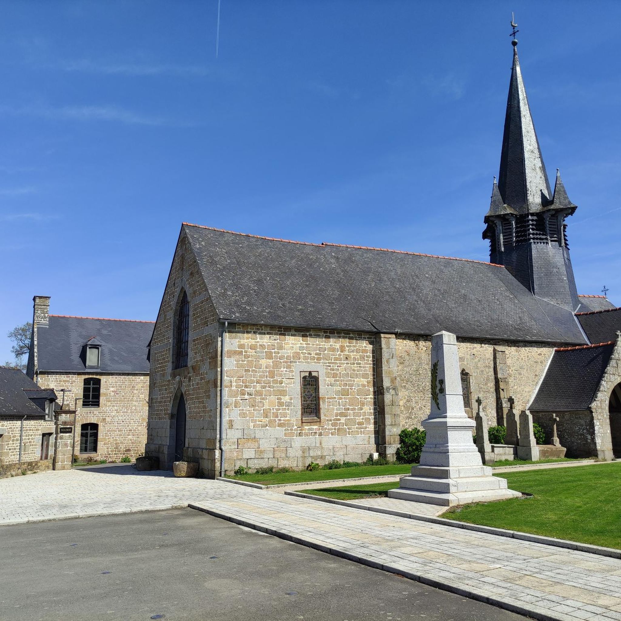
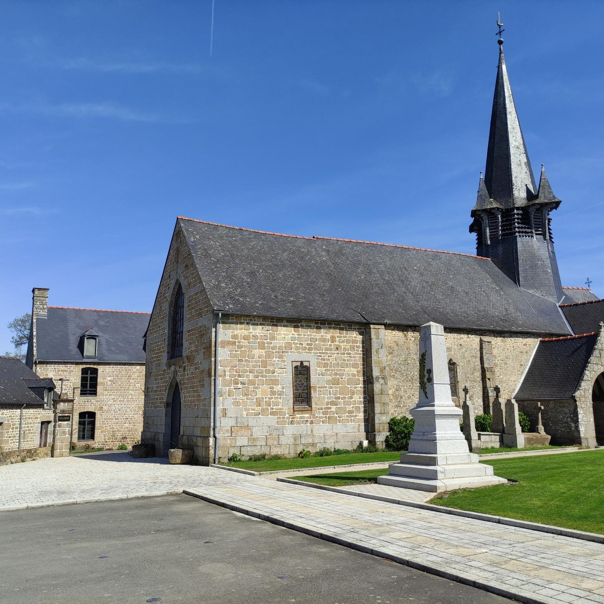
The Notre-Dame de Chauvigné church is a pretty rural church in the heart of the village. Recognizable by its simple and typically Breton architecture, it is a calm place, ideal for a break, with a welcoming little village around it.
0
0


Superb section, shaded and pleasant, quite flat descending towards Mont Saint-Michel.
0
0

The portion between St-Brice-En-Coglès and Antrain is magnificent and secure. A must do!
0
1

Very practical for when it's hot and you've forgotten your water bottle :-)
0
0
Frequently Asked Questions
How many running routes are available around Chauvigné?
There are over 120 running routes in the Chauvigné area, offering a wide range of options for all fitness levels. The komoot community has explored these trails extensively, with over 1,600 runners using them.
What kind of terrain can I expect on jogging routes in Chauvigné?
Chauvigné offers a diverse mix of terrain. You'll find everything from easy paved paths, like the Running loop from Saint-Marc-le-Blanc, to more challenging trails with modest elevation changes in the picturesque Couesnon River valley. The Regalante greenway provides shaded, relatively flat sections, ideal for a relaxed experience, while other routes venture into forests and past ponds, offering varied scenery.
Are there any family-friendly jogging trails in Chauvigné?
Yes, Chauvigné has several easy routes suitable for families. The Running loop from Saint-Marc-le-Blanc is an excellent choice, being an easy 4.1 km trail with mostly paved surfaces, making it accessible for all ages and fitness levels.
Can I bring my dog on the running routes near Chauvigné?
Many of the natural trails and greenways around Chauvigné are suitable for running with dogs, provided they are kept under control, ideally on a leash, and you clean up after them. Always be mindful of local regulations, especially when passing through agricultural lands or near livestock.
What interesting sights or natural features can I discover while running in Chauvigné?
The region is rich in natural beauty. You can enjoy scenic views over the Couesnon valley, explore sections of the Regalante greenway, or pass by historical elements like the Lavoir de la Loysance in Antrain. The rolling terrain also offers panoramic views of the Breton countryside.
I'm looking for a longer, more challenging run. What options does Chauvigné offer?
For those seeking a greater challenge, Chauvigné has several difficult routes. The La vallée du Couesnon – Château de la Ville Olivier loop from Vieux-Vy-sur-Couesnon is a demanding 20.8 km trail with significant elevation changes, taking about 2 hours 25 minutes to complete. Another option is the Manoir de la Vairie loop from Chauvigné, a 15.1 km difficult route.
Are there many circular running routes available in the Chauvigné area?
Yes, many of the running routes around Chauvigné are designed as circular loops, allowing you to start and finish at the same point. Examples include the popular Regalante greenway loop from Saint-Marc-le-Blanc and the Running loop from Vieux-Vy-sur-Couesnon.
What do other runners enjoy most about jogging in Chauvigné?
The komoot community highly rates the running experience in Chauvigné, with an average score of 4.3 stars from over 40 reviews. Runners often praise the diverse landscapes, the tranquility of the Couesnon Valley, and the pleasant, shaded sections of the greenways. The variety of routes, from easy to difficult, is also frequently highlighted.
Is there parking available near the jogging routes in Chauvigné?
While specific parking information for every route isn't always detailed, most trailheads in rural areas like Chauvigné typically have informal parking spots or are accessible from village centers where parking is available. It's advisable to check the starting point of your chosen route on komoot for more precise parking suggestions.
What is the best time of year for running in Chauvigné?
The spring and autumn months generally offer the most pleasant conditions for running in Chauvigné, with mild temperatures and beautiful scenery. Summer can be warm, but shaded routes along the greenways or through forests provide relief. Winter running is also possible, though some trails might be muddy after rain.
Are there any routes that combine natural beauty with cultural exploration?
While not directly on the routes, the region's proximity to historic towns like Fougères and Saint-Brice-en-Cogles, and remarkable gardens such as the Jardin du château de La Ballue, means you can combine your run with cultural visits. Some longer routes might pass near these areas, offering glimpses of the local heritage.
Most popular attractions around Chauvigné

Get inspired with the komoot mobile app


Explore more
Browse the best Running Trails & Routes in other regions.
