The best cycling routes around Marcillé-Raoul
4.5
(212)
1,290
riders
116
rides
Touring cycling around Marcillé-Raoul offers diverse landscapes, featuring a mix of natural and historical elements. The region is characterized by the presence of the Ille-et-Rance Canal, providing scenic paths, and the Forêt domaniale de Villecartier, a national forest with varied terrain. Cyclists can also explore areas around Boulet Pond and utilize the developing network of "Voies Vertes" (Greenways) for accessible routes. The terrain generally includes mostly paved surfaces, suitable for touring bicycles, with options ranging from flat sections along canals…
Last updated: July 2, 2026
4.8
(10)
35
riders
128km
07:45
880m
880m
Hard bike ride. Very good fitness required. Mostly paved surfaces. Suitable for all skill levels.
4.0
(5)
31
riders
8.92km
00:43
40m
40m
Easy bike ride. Great for any fitness level. Mostly paved surfaces. Suitable for all skill levels.

Sign up for free
4.5
(2)
10
riders
28.1km
01:51
120m
120m
Easy bike ride. Great for any fitness level. Mostly paved surfaces. Suitable for all skill levels.
23
riders
40.7km
03:06
320m
320m
Hard bike ride. Good fitness required. You may need to push your bike for some segments of this route.
3.8
(4)
18
riders
55.7km
03:57
330m
330m
Moderate bike ride. Good fitness required. Mostly paved surfaces. Suitable for all skill levels.
Get access to more routes and recommendations from other explorers.
Sign up for free
Already have an account?
Our route recommendations are based on thousands of hikes, rides, and runs completed by other people on komoot.
Start today with a free account
Your next adventure awaits.
Login or Signup
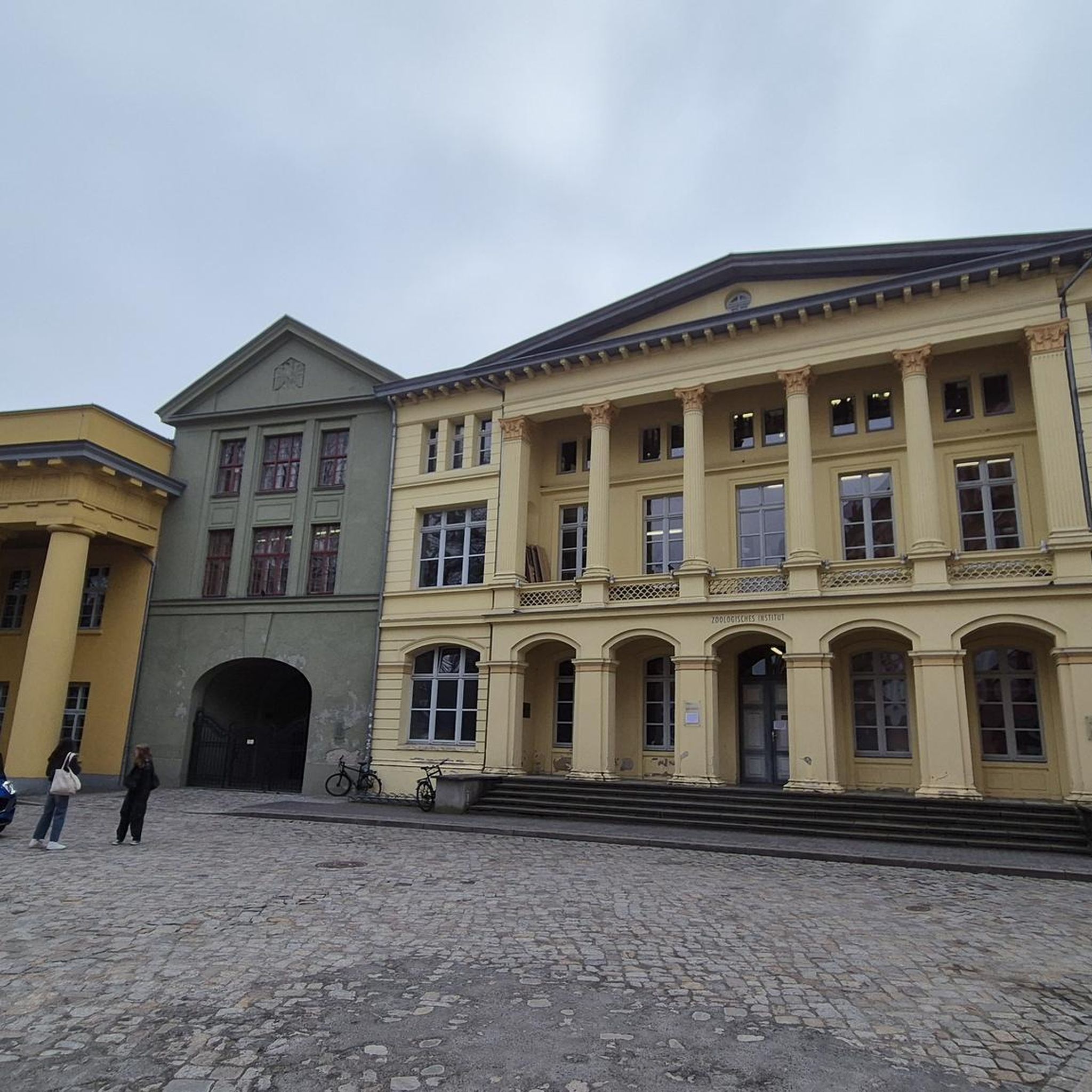
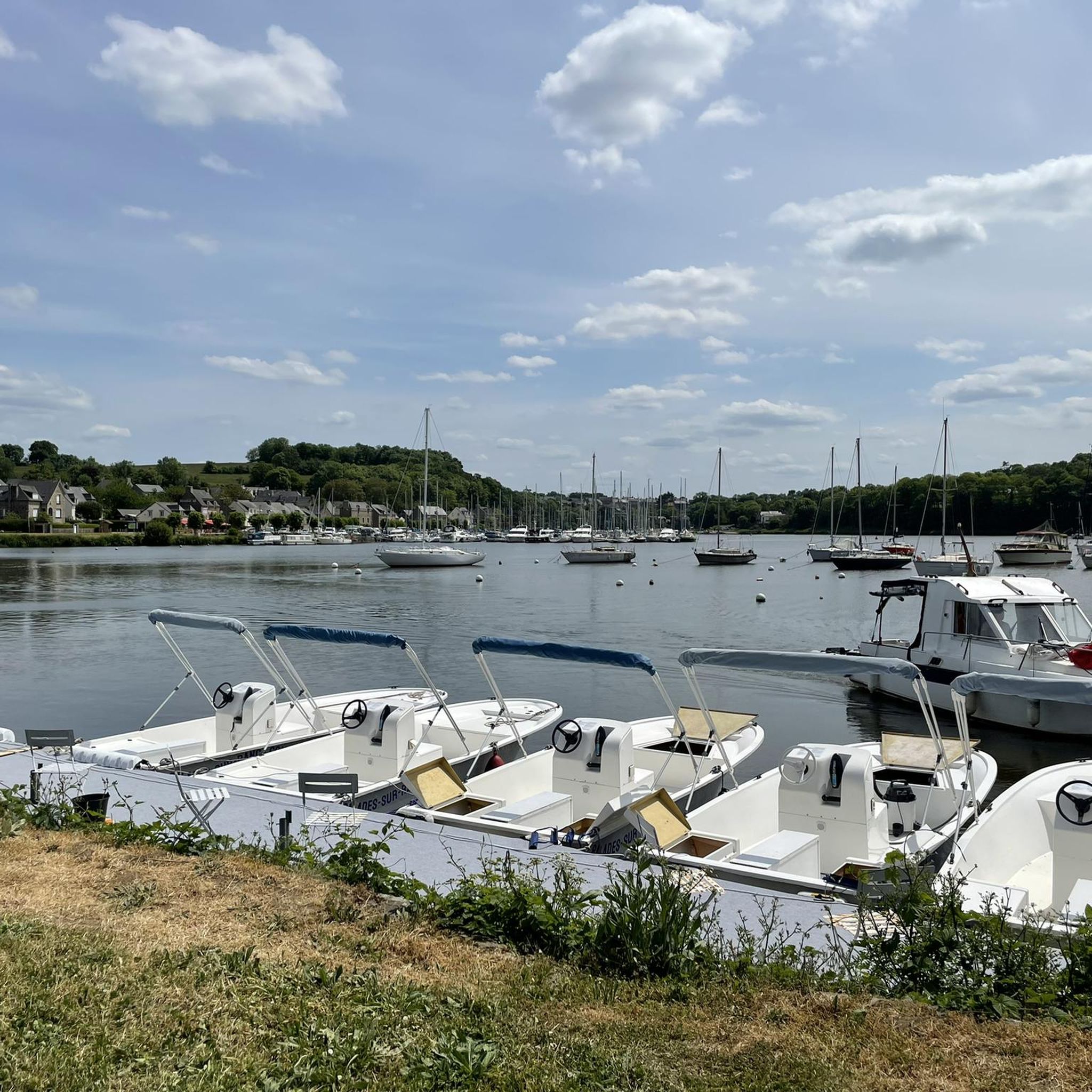
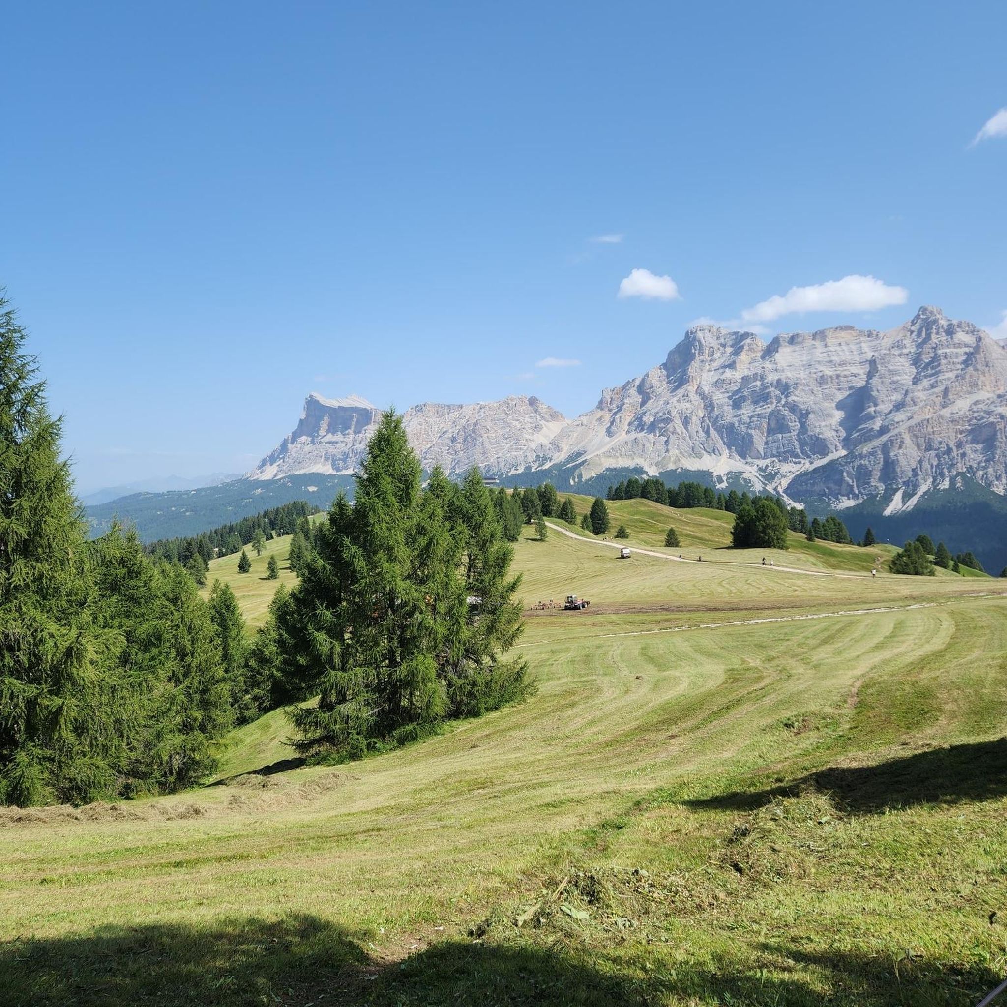

Tips from the Community

Shared path very well maintained in the woods
0
0

Hello, your Point of Interest • 10 km cycle path from Rougé to Châteaubriant (48°16'19.6"N 1°39'50.1"W) is not located correctly on the map. Here are the correct coordinates: 47°46'48.7"N 1°27'11.3"W. Sincerely
0
0

one of the tide mills on the Rance, worth the detour
0
0

Going back up towards St-Malo, a pretty path to the left (Rance valley) allows you to partly avoid the D117.
0
0

There are toilets and electrical outlets here, which saved me on my bike trip.
0
0


Good spot to take a break with a very nice view!
0
0
Good spot to take a break with a very nice view!
0
0
Frequently Asked Questions
How many touring cycling routes are available around Marcillé-Raoul?
There are over 120 touring cycling routes around Marcillé-Raoul, offering a wide variety of options for different skill levels and preferences. This includes 40 easy routes, 41 moderate routes, and 48 difficult routes.
What kind of terrain can I expect on touring cycling routes in Marcillé-Raoul?
The terrain around Marcillé-Raoul is diverse, featuring mostly paved surfaces ideal for touring bicycles. You'll find scenic paths along the Ille-et-Rance Canal, routes through the Forêt domaniale de Villecartier, and accessible "Voies Vertes" (Greenways). While many sections are relatively flat, especially along canals, some routes include moderate elevation changes.
Are there touring cycling routes suitable for beginners or families?
Yes, Marcillé-Raoul offers several easy touring cycling routes perfect for beginners and families. A great option is the Boulet Pond loop from Feins, an 8.9 km (5.5 miles) path that provides a serene natural setting and is suitable for all fitness levels. The region's "Voies Vertes" also offer accessible paths with low elevation changes.
Are there challenging touring cycling routes for experienced cyclists?
Absolutely. For experienced touring cyclists seeking a challenge, routes like the Site des Onze écluses – Beauchet Tidal Mill loop from Dingé offer a difficult 126.8 km (78.8 miles) journey with significant elevation gain, exploring waterways and historical sites.
What natural features or landmarks can I explore along the touring cycling routes?
Many routes incorporate significant natural and historical landmarks. You can cycle along the scenic Ille-et-Rance Canal, explore the Forêt domaniale de Villecartier, or enjoy the tranquil setting around Boulet Pond. The historic Combourg Castle is also within cycling distance and makes for a notable stop.
Are there any circular touring cycling routes in the area?
Yes, many touring cycling routes around Marcillé-Raoul are designed as loops. For example, the Lock No. 30 La Guéhardière – Site des Onze écluses loop from Dingé offers a 28.1 km (17.5 miles) circular journey through canal-side landscapes.
What do other touring cyclists enjoy about the routes in Marcillé-Raoul?
The touring cycling routes in Marcillé-Raoul are highly rated by the komoot community, with an average score of 4.5 stars from over 170 reviews. Cyclists often praise the varied scenery, from tranquil canal paths to forest trails, and the well-maintained surfaces suitable for touring bikes.
What is the best time of year for touring cycling in Marcillé-Raoul?
The region is generally pleasant for cycling from spring through autumn. Spring offers blooming landscapes, while summer provides warm weather for longer rides. Autumn brings beautiful foliage, making it a scenic time to explore. Always check local weather forecasts before heading out.
Are the touring cycling routes around Marcillé-Raoul dog-friendly?
While many natural areas in France welcome dogs on a leash, specific regulations can vary. For canal paths and forest trails, dogs are generally permitted if kept under control. It's always best to check local signage or specific route descriptions for any restrictions regarding pets.
Where can I find parking for touring cycling routes in Marcillé-Raoul?
Parking is generally available in and around Marcillé-Raoul, particularly near popular starting points for routes or in village centers. For routes like the Boulet Pond loop, there's a picnic spot with a campsite that often provides parking. For routes starting from Dingé, parking facilities are usually available in the town.
Is public transport available to access touring cycling routes near Marcillé-Raoul?
Public transport options to Marcillé-Raoul and surrounding villages may be limited, especially for carrying bicycles. It's advisable to check regional bus services or train connections to larger towns in Ille-et-Vilaine, such as Rennes, and then plan your cycling route from there. Some routes, particularly those along "Voies Vertes," are designed to be accessible from various points.
Are there places to eat or stay near the touring cycling routes?
Yes, the region offers various amenities. You'll find snack bars and picnic spots, such as the one in front of Boulet Pond. Villages along the routes, including Marcillé-Raoul itself, often have local cafes, restaurants, and accommodation options. Look for "Accueil Vélo" certified establishments, which cater specifically to cyclists.
Most popular routes around Marcillé-Raoul
Most popular attractions around Marcillé-Raoul

Get inspired with the komoot mobile app


Explore more
Browse the best Cycling routes in other regions.
