The best walks and hikes around Saint-Ouen-La-Rouërie
4.3
(153)
797
hikers
70
hikes
Hiking around Saint-Ouen-La-Rouërie offers a network of trails through the rural landscape of Brittany. The region is characterized by gently rolling terrain, agricultural fields, and small villages, with routes often following quiet country lanes and paths. Elevation gains are generally moderate, making the area accessible for various hiking abilities. The trails frequently connect historical sites and natural areas, providing varied scenery.
Best hiking trails around Saint-Ouen-La-Rouërie
- The most popular hiking route is Antrain loop from Tremblay, a 10.2 miles…
Last updated: October 12, 2026
4.7
(3)
12
hikers
16.5km
04:23
170m
170m
Moderate hike. Good fitness required. Easily-accessible paths. Suitable for all skill levels.
5.0
(1)
4
hikers
9.33km
02:33
140m
150m
Moderate hike. Good fitness required. Easily-accessible paths. Suitable for all skill levels.

3.0
(1)
4
hikers
11.8km
03:09
120m
120m
Moderate hike. Good fitness required. Easily-accessible paths. Suitable for all skill levels.
4.5
(2)
11
hikers
13.5km
03:35
140m
140m
Moderate hike. Good fitness required. Easily-accessible paths. Suitable for all skill levels.
2
hikers
Easy hike. Great for any fitness level. Easily-accessible paths. Suitable for all skill levels.
Get access to more routes and recommendations from other explorers.
Already have an account?
Our route recommendations are based on thousands of hikes, rides, and runs completed by other people on komoot.
Start today with a free account
Your next adventure awaits.
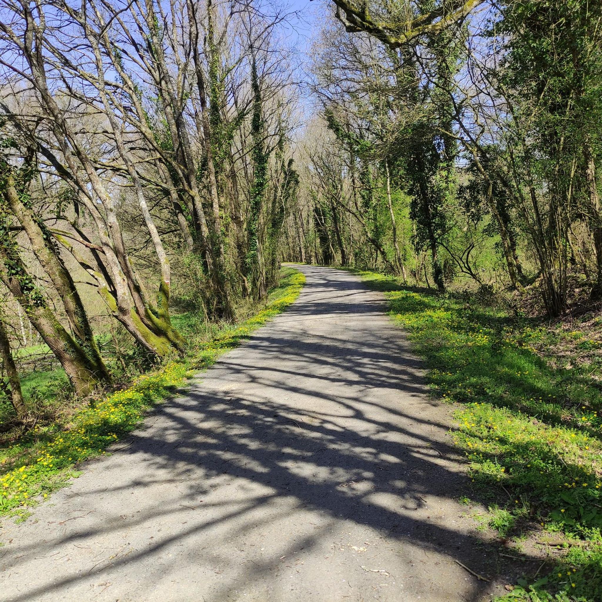
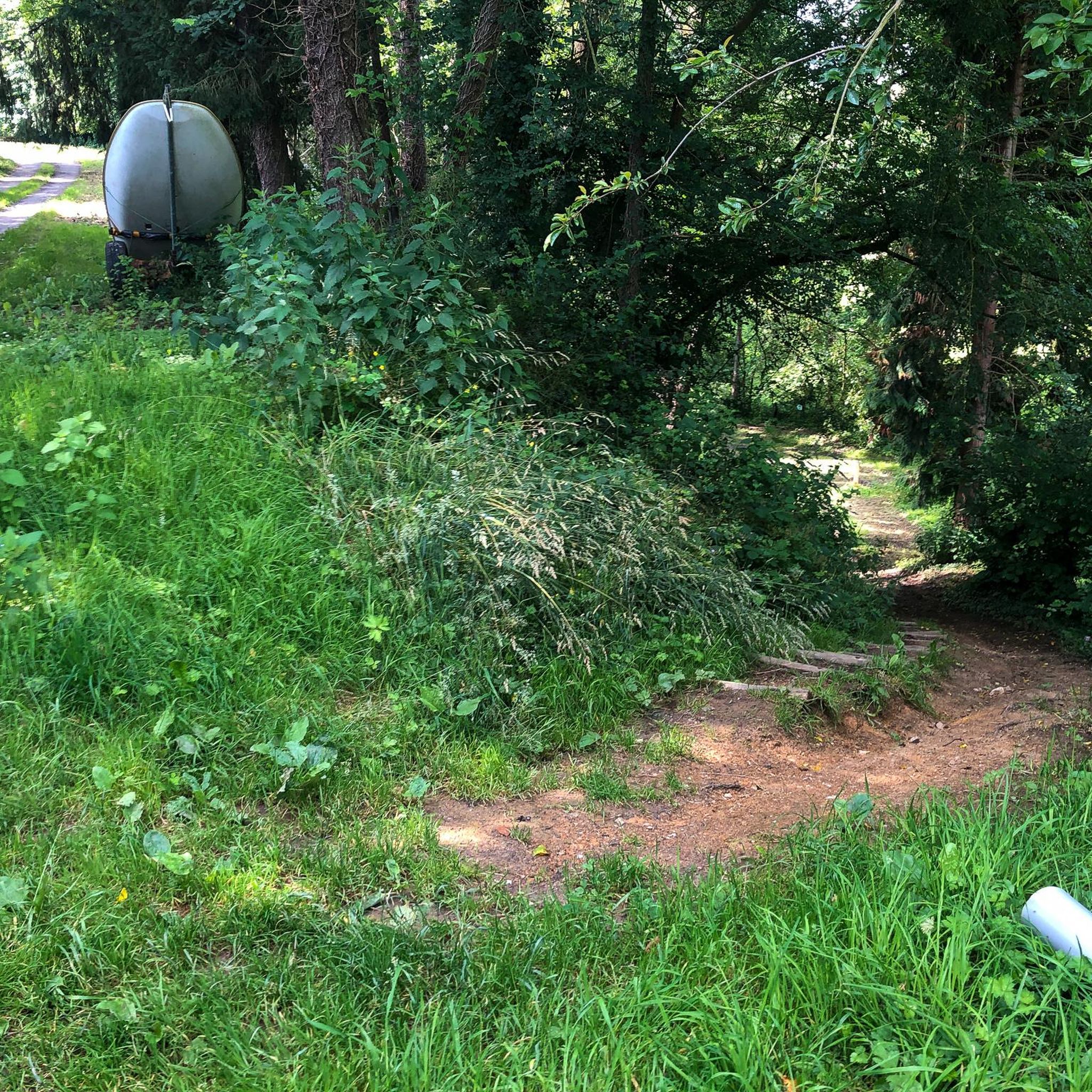



Tips from the Community

Antrain is a charming Breton village nestled between the Couesnon and Loysance rivers. The area is popular with hikers for its natural setting of hedged fields and marshes. Visitors can discover a remarkable heritage, including the Church of Saint-André and the Château de Bonnefontaine, as well as pretty old streets.
0
0

Good rest stop for a break before continuing steeply uphill towards Pontorson!
1
0

"It dates back to the 17th century, and was completely rebuilt in the 20th century. Before its reconstruction, it allowed about twenty professionals to exercise their profession, to dry their laundry on an adjoining site equipped accordingly. It is fitted with stones. of granite flush with the river, on which the washers placed their "coach", a wooden crate where they worked on their knees. This wash house was still in operation in the 1970s ".
2
0
Frequently Asked Questions
How many hiking trails are available in Saint-Ouen-La-Rouërie?
There are over 65 hiking trails around Saint-Ouen-La-Rouërie, offering a variety of options for exploring the rural landscape of Brittany. The region features gently rolling terrain, agricultural fields, and small villages.
Are there easy hiking routes suitable for beginners in Saint-Ouen-La-Rouërie?
Yes, Saint-Ouen-La-Rouërie offers a good selection of easy hikes. Approximately 27 of the trails are rated as easy, making them perfect for beginners or those looking for a relaxed stroll. An example is the La Fontenelle loop from Basse Vallée du Couesnon - Secteur du marais de la Folie, which is about 4.1 miles (6.6 km) long.
What kind of terrain can I expect on hikes around Saint-Ouen-La-Rouërie?
The terrain around Saint-Ouen-La-Rouërie is characterized by gently rolling hills, agricultural fields, and quiet country lanes. You'll often find paths connecting small villages, with moderate elevation gains that are accessible for various hiking abilities.
Are there any circular walks in the Saint-Ouen-La-Rouërie area?
Yes, many of the trails in the region are circular, allowing you to start and end at the same point. A popular option is the Antrain – La Fontenelle loop from Antrain, a moderate 5.8 miles (9.3 km) path that explores the area between two villages.
What are some interesting places to see or landmarks near the hiking trails?
While hiking, you can explore several nearby attractions. Consider visiting the Lavoir de la Loysance in Antrain, or the historic Notre-Dame de Pontorson church. The Forêt domaniale de Villecartier also offers natural beauty.
How long do hikes typically take in Saint-Ouen-La-Rouërie?
Hike durations vary depending on the route and your pace. For example, the Chapelle de Le Buisson – La Fontenelle loop from La Fontenelle is about 7.3 miles (11.8 km) and typically takes around 3 hours and 9 minutes. Shorter, easy routes can be completed in under 2 hours, while longer moderate trails might take 4 hours or more.
Are there any challenging day hikes for experienced hikers?
While the region is generally known for its moderate terrain, there is at least one difficult route available for those seeking a greater challenge. The majority of trails are moderate, such as the Antrain loop from Antrain, which covers 8.4 miles (13.5 km) with moderate elevation.
What do other hikers say about the trails in Saint-Ouen-La-Rouërie?
The trails in Saint-Ouen-La-Rouërie are highly regarded by the komoot community, with an average rating of 4.2 stars from over 100 reviews. Hikers often praise the quiet rural landscapes, the well-maintained paths, and the charm of connecting between small villages.
Is it possible to access hiking trails using public transport?
While specific public transport links directly to trailheads might be limited in this rural area, many routes connect villages. It's advisable to check local bus services for connections to larger towns like Antrain or Tremblay, from where some popular loops begin.
Are there family-friendly walking options in Saint-Ouen-La-Rouërie?
Yes, the region's generally gentle terrain and numerous easy routes make it suitable for families. Many paths follow quiet country lanes and offer pleasant walks through agricultural scenery, perfect for all ages. Look for the shorter, easy-rated trails for the best family experience.
When is the best time of year to go hiking in Saint-Ouen-La-Rouërie?
The best time to hike in Saint-Ouen-La-Rouërie is typically from spring through autumn (April to October). During these months, the weather is generally mild and pleasant, and the countryside is vibrant. Summer offers longer daylight hours, while spring and autumn provide comfortable temperatures and beautiful seasonal colors.
Are there any less crowded hiking spots or hidden gems?
Given the rural nature of Saint-Ouen-La-Rouërie, many trails offer a peaceful experience away from large crowds. Exploring routes that connect smaller hamlets or those slightly off the main village-to-village paths can lead to particularly tranquil and less-frequented spots.
Most popular routes around Saint-Ouen-La-Rouërie
Most popular attractions around Saint-Ouen-La-Rouërie

Get inspired with the komoot mobile app


Explore more
Browse the best Hikes in other regions.
