The best cycling routes around Isigny-Le-Buat
4.5
(441)
5,937
riders
124
rides
Touring cycling around Isigny-Le-Buat features a landscape characterized by rolling countryside, river valleys, and dedicated greenways. The region offers a mix of gentle paths and more challenging routes with varied elevation. Many routes incorporate historical sites and scenic bridges, providing diverse cycling experiences.
Best touring cycling routes around Isigny-Le-Buat
- The most popular touring cycling route is Beautiful new cycle path – Pontaubault Bridge loop from Virey, a 88.6 miles (142.7 km) trail that takes 9 hours 2 minutes to…
Last updated: July 5, 2026
4.8
(20)
164
riders
Hard bike ride. Very good fitness required. Mostly paved surfaces. Suitable for all skill levels.
4.5
(15)
113
riders
40.1km
02:32
270m
270m
Moderate bike ride. Good fitness required. Mostly paved surfaces. Suitable for all skill levels.

Sign up for free
4.7
(3)
26
riders
Hard bike ride. Very good fitness required. Mostly paved surfaces. Suitable for all skill levels.
5.0
(1)
21
riders
30.9km
01:57
200m
200m
Moderate bike ride. Good fitness required. Mostly paved surfaces. Suitable for all skill levels.
4.5
(2)
12
riders
Moderate bike ride. Good fitness required. Mostly paved surfaces. Suitable for all skill levels.
Get access to more routes and recommendations from other explorers.
Sign up for free
Already have an account?
Our route recommendations are based on thousands of hikes, rides, and runs completed by other people on komoot.
Start today with a free account
Your next adventure awaits.
Login or Signup

Tips from the Community

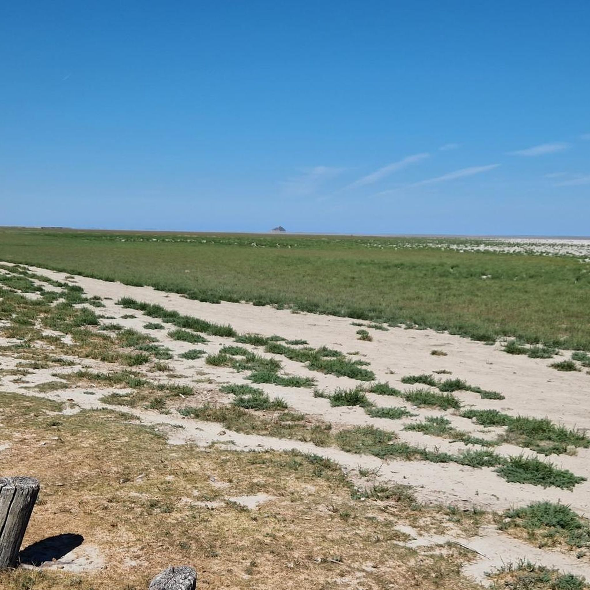
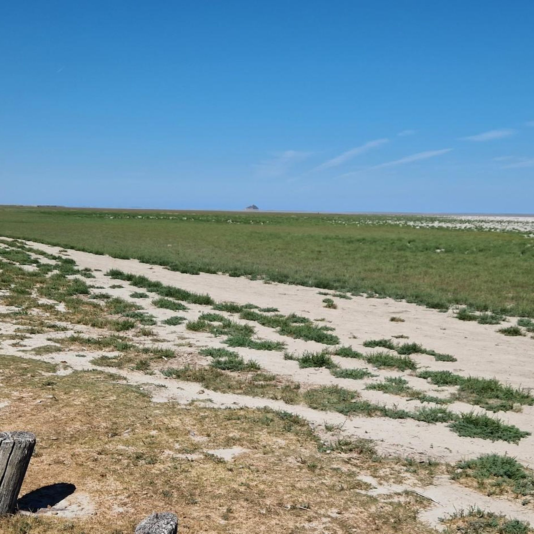
From there it looks the strongest !!!
0
0

Practice for going to the train station
0
0

Lovely route, first along the coast on good cycle paths, then after the large car park via all sorts of narrow roads and villages back to the campsite in Ceaux.
0
0

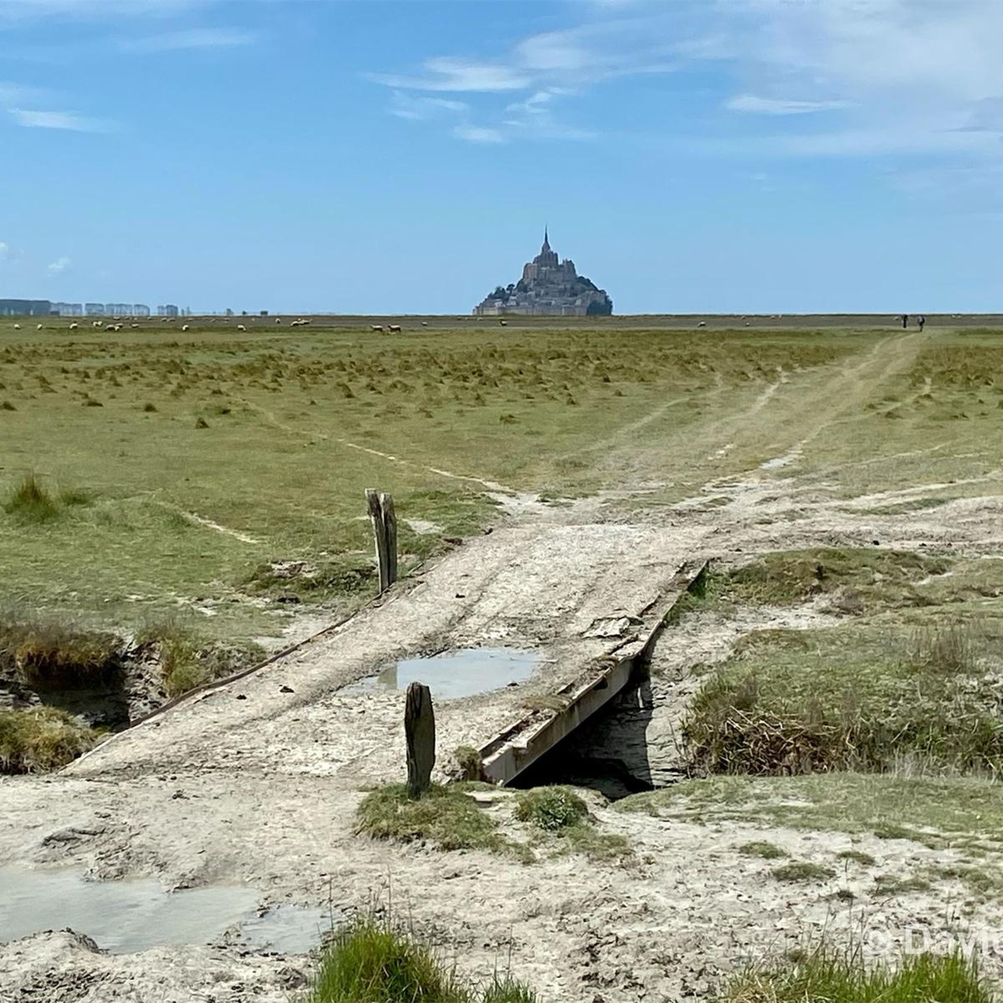
If there's a remarkable site that's worth a detour, it's Mont St Michel!
0
0

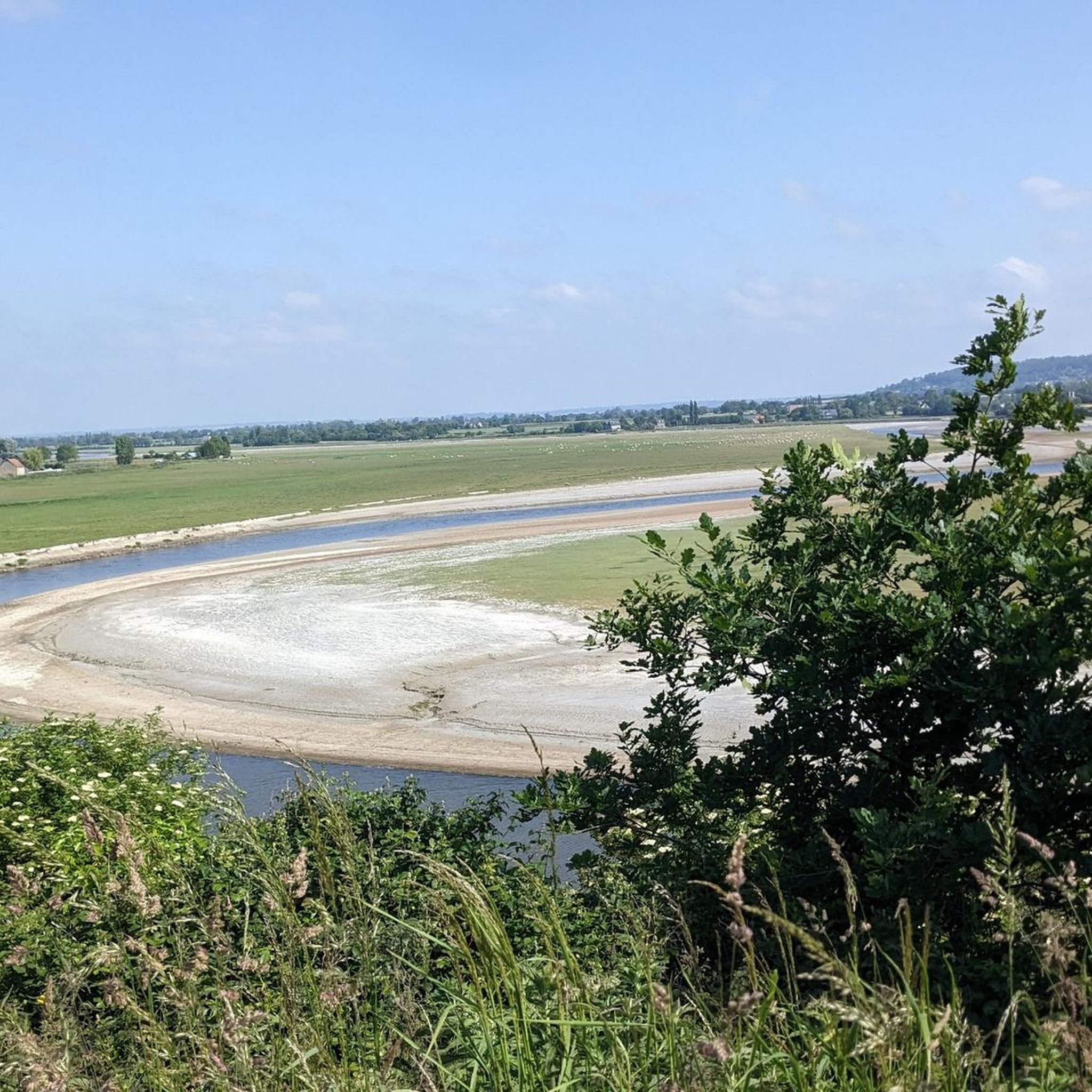
La Roche Torin is a prominent vantage point in the Bay of Mont Saint-Michel. This spot offers a unique view of the bay and is a popular destination for hikers and photographers, especially during strong tides (coefficient over 100). The tidal coefficient is the most important indicator for assessing the dynamics of the bay. A coefficient over 100 indicates spectacular tide conditions and a natural spectacle. Here in the Bay of Mont Saint-Michel, the highest tides in Europe occur, with a tidal range of up to 15 meters between high and low tide. Tidal range Mont Saint-Michel: https://tides4fishing.com/fr/basse-normandie/le-mont-saint-michel#_tidal_coefficient
1
0

This greenway between Mont Saint-Michel and Pontorson alternates between magnificent stretches with unobstructed views and shaded sections with bucolic charm. Away from road traffic, this section reveals the unique calm of nature.
0
0
The Couesnon dike connects the mainland to Mont-Saint-Michel by crossing the polders. By bike, it offers a unique perspective of the bay and its expanses. This rolling, windy section gives the approach to the Mont its character.
0
0

Go at low or high tide
1
0
Frequently Asked Questions
How many touring cycling routes are available in Isigny-Le-Buat?
There are over 120 touring cycling routes around Isigny-Le-Buat, offering a wide range of experiences. This includes 31 easy routes, 59 moderate routes, and 33 difficult routes, catering to various skill levels and preferences.
Are there easy touring cycling routes suitable for beginners in Isigny-Le-Buat?
Yes, Isigny-Le-Buat offers 31 easy touring cycling routes perfect for beginners or those looking for a relaxed ride. A great option is the Beautiful photo motif – Voie verte de la Véloscénie loop from Marcilly, which is 9.5 miles (15.2 km) long and utilizes the gentle terrain of the Voie verte de la Véloscénie.
Can I find long-distance touring cycling routes in the region?
Absolutely. For those seeking longer distances, Isigny-Le-Buat has 33 difficult routes, many of which are extended tours. The Beautiful new cycle path – Pontaubault Bridge loop from Virey is a challenging 88.6 miles (142.7 km) route that follows a new cycle path and crosses the historic Pontaubault Bridge.
Are there any circular touring cycling routes in Isigny-Le-Buat?
Many of the touring cycling routes in Isigny-Le-Buat are designed as loops, allowing you to start and end at the same point. An example is the Voie verte de la Véloscénie – Pontaubault Bridge loop from Isigny-le-Buat, a 20.7 miles (33.3 km) trail that takes you through greenways and across the Pontaubault Bridge.
What kind of attractions can I see along the touring cycling routes?
The routes often pass by significant landmarks and natural beauty. You might encounter the historic Pontaubault Bridge, the scenic Banks of the Sélune at Pontaubault, or even the charming settlement of Ducey. Some routes also feature historical sites like Montgommery Castle.
Are there family-friendly touring cycling options in Isigny-Le-Buat?
Yes, the region's greenways and less challenging paths are ideal for families. Many easy routes, like those utilizing the Voie verte de la Véloscénie, offer gentle terrain and a safe environment for cyclists of all ages. Look for routes marked as 'easy' for the most suitable family experiences.
What do other touring cyclists enjoy most about cycling in Isigny-Le-Buat?
The touring cycling routes in Isigny-Le-Buat are highly rated by the komoot community, with an average score of 4.5 stars from over 340 reviews. Cyclists often praise the region's diverse landscape, which includes rolling countryside, peaceful river valleys, and well-maintained dedicated greenways. The mix of historical sites and scenic bridges also adds to the appeal.
Are there touring cycling routes that feature local art or unique cultural spots?
Yes, some routes offer glimpses into local culture. For example, the Street art – Local Restaurant loop from Les Biards is a moderate 18.4 miles (29.7 km) route that combines cycling with opportunities to discover local street art and dining experiences.
Can I find routes that pass by historical castles or significant landmarks?
Certainly. The region is rich in history, and several routes incorporate historical sites. The Château de Vassy loop from Le Grand-Celland is a difficult 17.3 miles (27.8 km) route that allows you to cycle past the impressive Château de Vassy, offering a blend of nature and heritage.
What is the best time of year for touring cycling in Isigny-Le-Buat?
The spring and autumn months generally offer the most pleasant conditions for touring cycling in Isigny-Le-Buat, with milder temperatures and beautiful scenery. Summer is also popular, though it can be warmer. Winter cycling is possible, but some paths might be less maintained, and weather conditions can be more challenging.
Are there options for parking near the touring cycling routes?
Many touring cycling routes in Isigny-Le-Buat start from or pass through towns and villages where public parking is available. It's advisable to check the starting point of your chosen route on komoot for specific parking information, as many routes are designed as loops, making car access convenient.
Is public transport accessible for reaching touring cycling trails in Isigny-Le-Buat?
While Isigny-Le-Buat is a rural area, some regional bus services connect larger towns. However, public transport options directly to trailheads might be limited. For the most flexibility, especially with a touring bike, driving to a starting point with parking is often the most practical choice.
Most popular routes around Isigny-Le-Buat
Most popular attractions around Isigny-Le-Buat

Get inspired with the komoot mobile app


Explore more
Browse the best Cycling routes in other regions.
