The best walks and hikes around La Baconnière
4.5
(126)
568
hikers
37
hikes
Hiking around La Baconnière offers diverse landscapes, characterized by picturesque natural settings. The region features the Valley of Ponds with its rich biodiversity, and the Ernée river which winds through the terrain, providing scenic riverside paths. Hikers will find a mix of hills and forests, particularly around Chailland, contributing to varied and engaging experiences. Some routes also include modern elements like wind turbines and local water bodies.
Best hiking trails around La Baconnière
- The most popular hiking route is Château…
Last updated: July 4, 2026
4.4
(9)
18
hikers
13.4km
03:31
120m
110m
Moderate hike. Good fitness required. Easily-accessible paths. Suitable for all skill levels.
4.7
(3)
16
hikers
4.38km
01:13
80m
80m
Easy hike. Great for any fitness level. Easily-accessible paths. Suitable for all skill levels.

Sign up for free
4.6
(5)
16
hikers
10.9km
02:54
110m
110m
Moderate hike. Good fitness required. Easily-accessible paths. Suitable for all skill levels.
5.0
(2)
12
hikers
Easy hike. Great for any fitness level. Easily-accessible paths. Suitable for all skill levels.
4.8
(4)
8
hikers
Moderate hike. Good fitness required. Easily-accessible paths. Suitable for all skill levels.
Get access to more routes and recommendations from other explorers.
Sign up for free
Already have an account?
Our route recommendations are based on thousands of hikes, rides, and runs completed by other people on komoot.
Start today with a free account
Your next adventure awaits.
Login or Signup




Tips from the Community


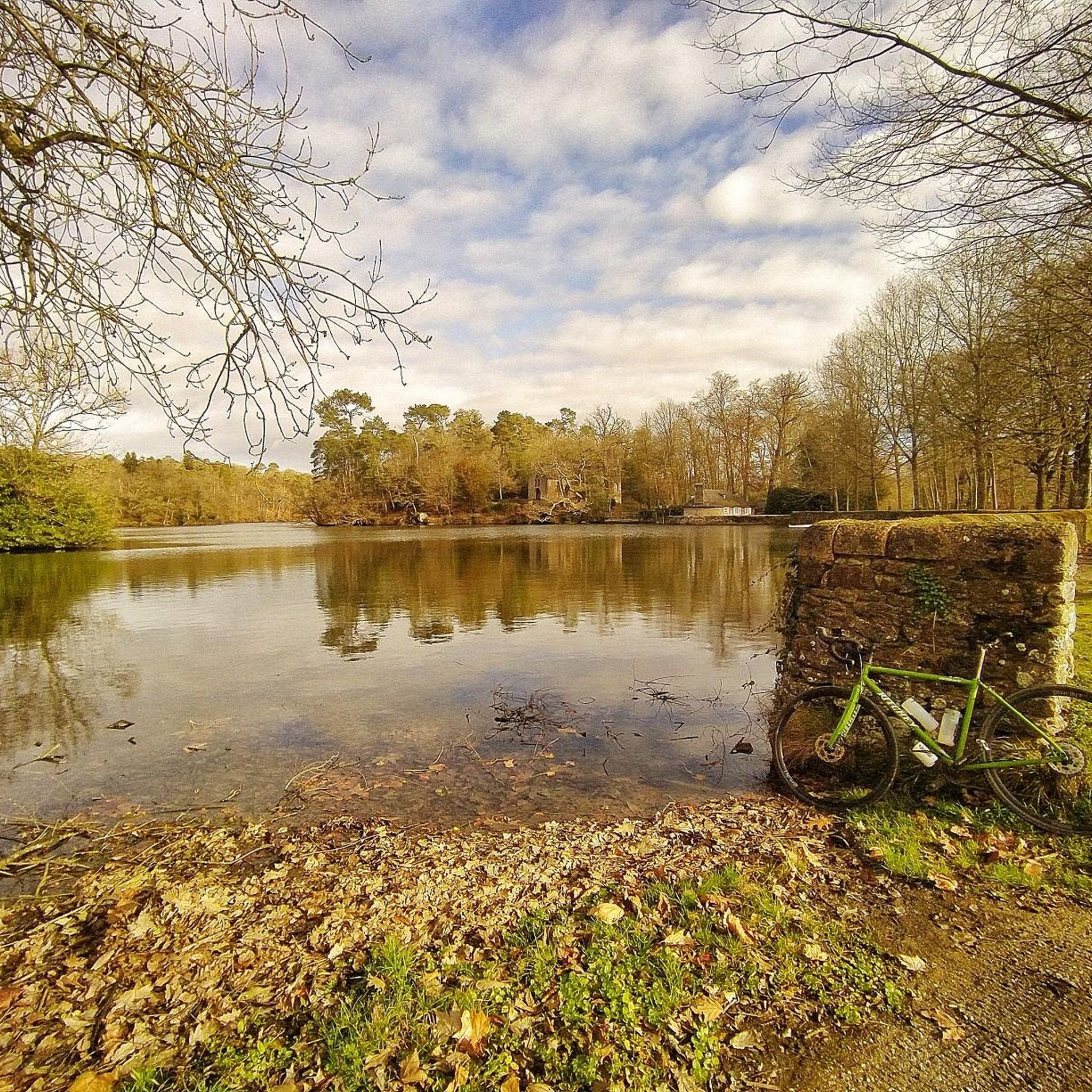
The Morfelon pond is a small lake surrounded by a botanical trail, a sports complex and a picnic area. L’Étang de Morfelon is a hidden gem that offers a peaceful and enjoyable experience for nature lovers.
2
0
This belvedere offers a breathtaking view of the Château de Villiers, a medieval castle dating from the 15th century and belonging to the same family for over 300 years. You can also admire the Valley of Ponds, a natural site which includes three ponds and rich biodiversity.
2
0
It is a bridge over the Ernée which connects the village of Chailland to the forest of Mayenne. The deck is a good place to watch the sunset or have a picnic.
3
0
The Château de la Forge is a 19th century residence which was built on the site of the former Aubert manor. The castle dominates the deep, steep valley of the Ernée, on the edge of the Mayenne forest. You will be able to admire the architecture and history of this place which was the property of Cardinal Mazarin in 1657.
2
0
This church is a neo-Gothic building built in 1892 on the site of a Romanesque church. It has stained glass windows by master glassmaker Alleaume and a remarkable 18th century organ. The church is located in the picturesque village of Chailland, surrounded by hills and forests. There you can admire the Ernée river and the Rocher de la Vierge, which houses a statue of the Virgin Mary. You can also explore the surrounding trails which offer varying levels of difficulty and length. The Notre-Dame-de-l'Assomption Church in Chailland is a hike that will please both your eyes and your ears.
3
0

The house was used as a post office and station building from 1901 until the railway line was closed in 1938.
0
0
Frequently Asked Questions
How many hiking trails are available around La Baconnière?
There are over 35 hiking routes around La Baconnière, catering to various preferences. You'll find a good mix of easy and moderate trails, with 18 easy routes and 19 moderate ones, ensuring there's something for every fitness level.
What kind of terrain can I expect on hikes near La Baconnière?
The terrain around La Baconnière is quite varied and picturesque. You can expect to encounter serene paths through the Valley of Ponds, scenic riverside trails along the Ernée river, and undulating routes through hills and forests, particularly near Chailland. Some routes also feature modern elements like wind turbines, offering a diverse hiking experience.
Are there any family-friendly hiking options in La Baconnière?
Yes, La Baconnière offers several easy routes perfect for families. An excellent choice is the Tourist Route Circuit, which is just over 4 km long and suitable for all skill levels. Another accessible option is the House of the laundresses – Bridge over the Ernée in Chailland loop from Chailland, which is around 5 km and offers lovely views.
Can I bring my dog on the hiking trails around La Baconnière?
Many trails around La Baconnière are suitable for dogs, provided they are kept on a leash. The region's diverse landscapes, including riverside paths and forest trails, offer great opportunities for you and your canine companion to explore. Always ensure to follow local regulations regarding pets on trails.
What are some notable landmarks or attractions to see while hiking?
While hiking around La Baconnière, you can discover several interesting points. The Rocher de la Vierge near Chailland is a unique rock formation with a statue. You might also pass by the historic Notre-Dame-de-l'Assomption Church of Chailland, known for its stained glass. For natural beauty, look out for the Port Lake or the Belle-Poule Lock.
Are there any circular hiking routes available?
Yes, many of the routes around La Baconnière are circular, making them convenient for day trips. For a moderate loop, consider the Château de Villiers — loop from Le Bourgneuf-la-Forêt, which is about 13.4 km. Another great option is The old priory loop from Olivet, spanning nearly 11 km.
What do other hikers say about the trails in La Baconnière?
The hiking trails around La Baconnière are highly regarded by the komoot community, with an average rating of 4.4 out of 5 stars from over 118 reviews. Hikers often praise the region's diverse landscapes, the tranquility of the paths, and the opportunities to discover charming villages and historical sites along the way.
Are there any routes that offer views of historical sites or castles?
Absolutely. The region is dotted with historical interest. The Château de Villiers — loop from Le Bourgneuf-la-Forêt offers glimpses of the Château de Villiers. Additionally, the 19th-century Château de la Forge, overlooking the Ernée valley, provides a beautiful historical backdrop to the landscape, though it may not be directly on a komoot-listed route.
What is the best time of year to go hiking in La Baconnière?
La Baconnière offers pleasant hiking experiences throughout much of the year. Spring and autumn are particularly beautiful, with mild temperatures and vibrant natural colors. Summer is also suitable, though it can be warmer, making riverside or shaded forest trails more appealing. Winter hikes are possible, but be prepared for cooler, potentially wetter conditions.
Are there any trails suitable for both hiking and cycling?
Yes, some routes in the area are multi-use. For example, The old priory loop from Olivet, a moderate 10.9 km trail, is enjoyed by both hikers and cyclists, offering a shared experience of the region's natural beauty.
Where can I find parking for trailheads in La Baconnière?
Parking is generally available near the starting points of many trails, especially in and around the villages like La Baconnière, Le Bourgneuf-la-Forêt, Chailland, and Olivet. Specific parking details are often included in individual route descriptions on komoot, so it's best to check the tour page for the route you plan to hike.
Most popular routes around La Baconnière
Most popular attractions around La Baconnière

Get inspired with the komoot mobile app


Explore more
Browse the best Hikes in other regions.
