The best walks and hikes around Saint-Loup
4.5
(317)
1,662
hikers
127
hikes
Hiking around Saint-Loup offers routes primarily characterized by coastal plains, wetlands, and riverine landscapes. The terrain generally features low elevation gains, making many trails accessible. The region is influenced by its proximity to the coast, with paths often following estuaries and greenways. This area provides opportunities for exploring diverse natural habitats, including salt marshes and riverbanks.
Best hiking trails around Saint-Loup
- The most popular hiking route is Pontaubault Bridge – View of Mont Saint-Michel loop from Pontaubault, a 6.6…
Last updated: August 15, 2026
3.6
(5)
84
hikers
Moderate hike. Good fitness required. Easily-accessible paths. Suitable for all skill levels.
4.4
(12)
30
hikers
14.3km
03:40
50m
50m
Moderate hike. Good fitness required. Easily-accessible paths. Suitable for all skill levels.

Sign up for free
4.6
(9)
28
hikers
9.71km
02:30
40m
40m
Moderate hike. Good fitness required. Easily-accessible paths. Suitable for all skill levels.
5.0
(2)
33
hikers
Moderate hike. Good fitness required. Easily-accessible paths. Suitable for all skill levels.
3.0
(2)
26
hikers
7.88km
02:00
20m
20m
Moderate hike. Good fitness required. Easily-accessible paths. Suitable for all skill levels.
Get access to more routes and recommendations from other explorers.
Sign up for free
Already have an account?
Our route recommendations are based on thousands of hikes, rides, and runs completed by other people on komoot.
Start today with a free account
Your next adventure awaits.
Login or Signup


Tips from the Community

During very high tides, your wheels may be in the water.
0
0

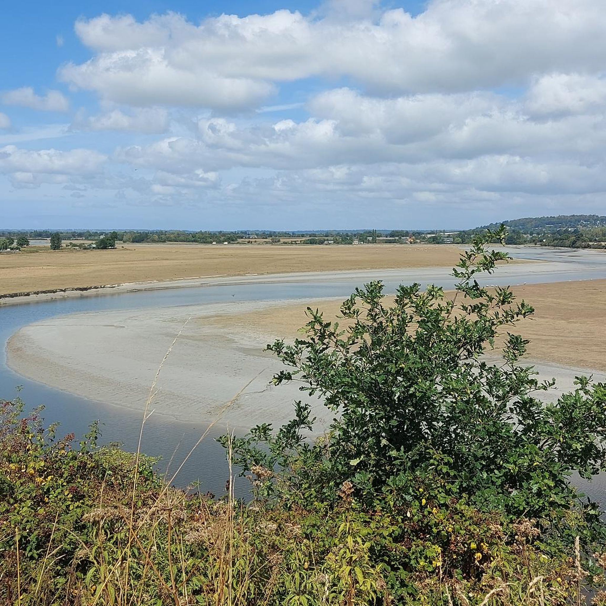
La Roche Torin is a prominent vantage point in the Bay of Mont Saint-Michel. This spot offers a unique view of the bay and is a popular destination for hikers and photographers, especially during strong tides (coefficient over 100). The tidal coefficient is the most important indicator for assessing the dynamics of the bay. A coefficient over 100 indicates spectacular tide conditions and a natural spectacle. Here in the Bay of Mont Saint-Michel, the highest tides in Europe occur, with a tidal range of up to 15 meters between high and low tide. Tidal range Mont Saint-Michel: https://tides4fishing.com/fr/basse-normandie/le-mont-saint-michel#_tidal_coefficient
1
0


Beautiful route but there are no water points for the cans! Otherwise it's magnificent
0
0
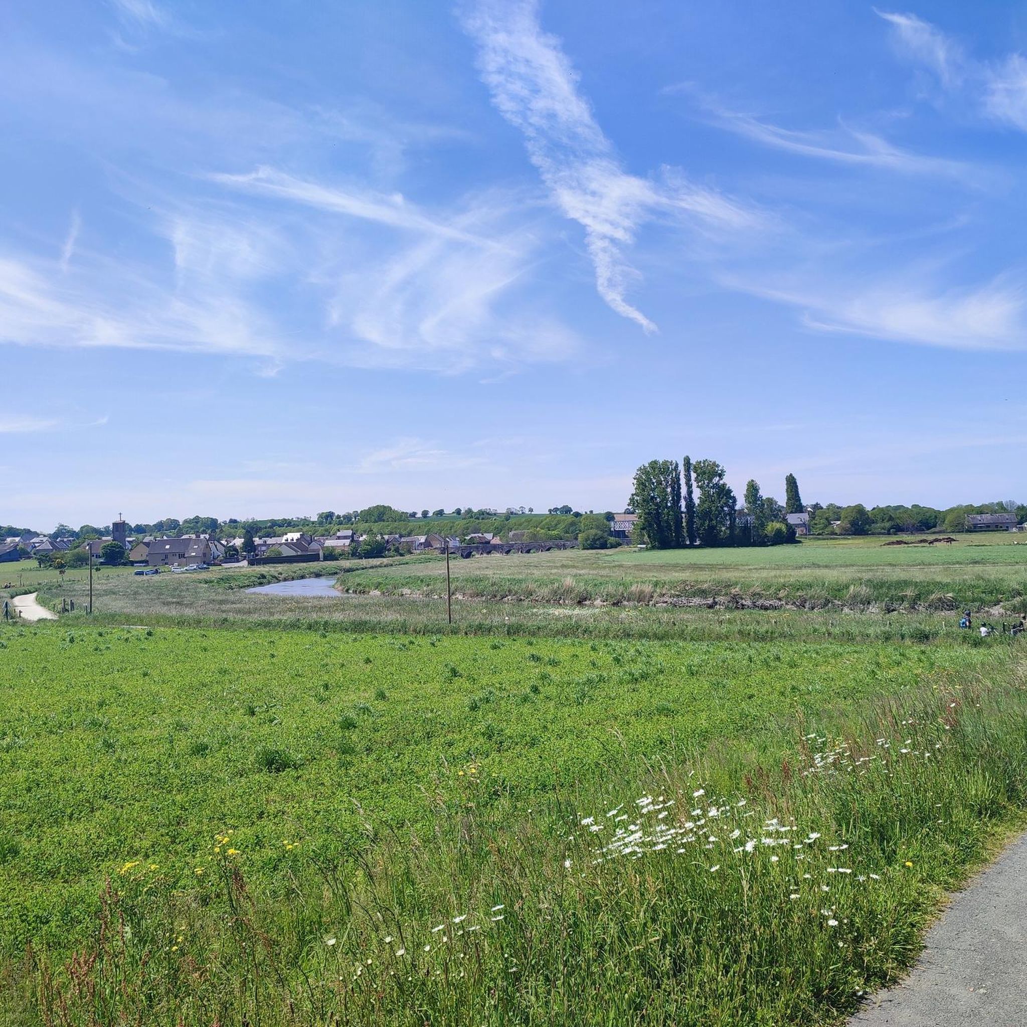
Magnificent landscape with its green pastures of salt meadows. Gradually approaching Mount Mich Mich
3
0

Magnificent meadow landscape
0
0

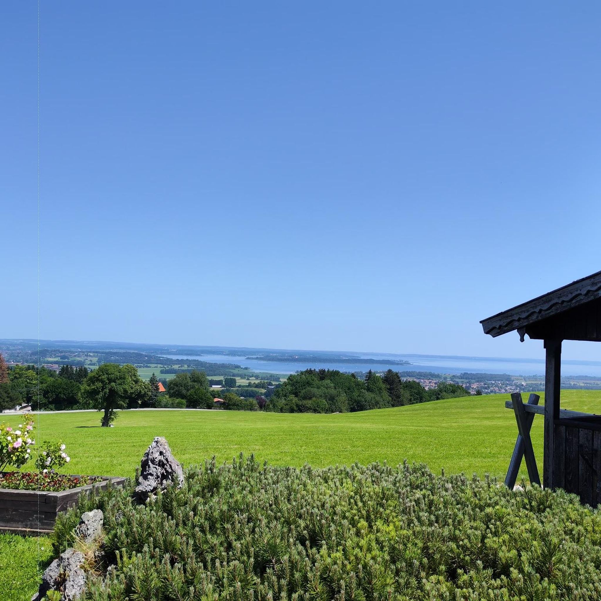
Beautiful view of the Klosterberg and an easy path to ride.
0
0
Frequently Asked Questions
How many hiking trails are available in Saint-Loup?
There are over 130 hiking routes around Saint-Loup, offering a wide range of options for different skill levels and preferences. The komoot community has explored these trails over 1,400 times.
Are there easy hikes suitable for beginners or families in Saint-Loup?
Yes, Saint-Loup offers a good selection of easy hikes, with 68 routes categorized as easy. These trails often feature low elevation gains and follow coastal plains or riverbanks, making them ideal for a relaxed outing. While specific family-friendly routes aren't highlighted, the general accessibility of many trails makes them suitable for various ages.
What kind of terrain can I expect on hikes around Saint-Loup?
The hiking trails in Saint-Loup are primarily characterized by coastal plains, wetlands, and riverine landscapes. You'll often find paths following estuaries, salt marshes, and greenways, offering diverse natural habitats. The terrain generally features low elevation gains, making most trails accessible.
Are there any longer or more challenging hikes in the area?
While most routes are easy to moderate, Saint-Loup does offer some longer options. For example, the La Roche Torin – View of Mont Saint-Michel loop from Pontaubault is a moderate 17.8 km trail. There is also one route categorized as difficult for those seeking a greater challenge, though the region is not known for high-difficulty mountain trekking.
What are some notable viewpoints or attractions along the hiking trails?
Many trails offer scenic views, particularly of the iconic Mont Saint-Michel. You can find excellent vantage points like View of Mont Saint-Michel and La Roche Torin. Other attractions include the historic Pontaubault Bridge and the natural beauty of the Sélune Estuary.
Are there circular hiking routes available in Saint-Loup?
Yes, many of the popular routes in Saint-Loup are circular, allowing you to start and end at the same point. Examples include the Pontaubault Bridge – View of Mont Saint-Michel loop from Pontaubault and the Anse de la Maraîcherie loop from Le Val-Saint-Père, which are great for exploring the area without retracing your steps.
What do other hikers enjoy most about hiking in Saint-Loup?
The hiking experience in Saint-Loup is highly rated by the komoot community, with an average score of 4.7 stars from over 260 reviews. Hikers often praise the diverse landscapes, including coastal paths, wetlands, and riverbanks, as well as the accessible nature of many trails. The views of Mont Saint-Michel are also a frequently mentioned highlight.
Are there any trails that explore the unique wetlands of the region?
Absolutely. The region is known for its wetlands, and you can explore this unique ecosystem on trails like the Pré Salé Wetlands – Pontaubault Bridge loop from Pontaubault. This route offers a great opportunity to experience the natural beauty and biodiversity of the salt marshes.
Is it possible to hike along the Sélune river?
Yes, several trails follow the Sélune river, offering pleasant riverside walks. The Pontaubault Bridge – View of Mont Saint-Michel loop from Pontaubault is one such route that includes sections along the Sélune, providing scenic views and a tranquil atmosphere.
Are there any trails that utilize greenways or old railway lines?
Yes, the region incorporates greenways into its hiking network. For instance, the Voie verte de la Véloscénie loop from Pontaubault utilizes a greenway, offering a flat and accessible path ideal for walking or cycling.
What is the best time of year to go hiking in Saint-Loup?
Given the coastal and wetland nature of Saint-Loup, spring and autumn generally offer the most pleasant hiking conditions with mild temperatures and beautiful scenery. Summer can also be enjoyable, though it might be warmer. Winter hikes are possible, but some paths might be muddy or exposed to coastal winds.
Are dogs allowed on the hiking trails in Saint-Loup?
While specific regulations can vary by trail or protected area, many paths in Saint-Loup's open landscapes are generally dog-friendly. It's always advisable to keep dogs on a leash, especially in areas with wildlife or near livestock, and to check local signage for any restrictions.
Most popular routes around Saint-Loup
Most popular attractions around Saint-Loup

Get inspired with the komoot mobile app


Explore more
Browse the best Hikes in other regions.
