The best walks and hikes around Saint-Senier-Sous-Avranches
4.6
(300)
1,583
hikers
140
hikes
Hiking around Saint-Senier-Sous-Avranches offers access to diverse landscapes in the Manche department of Normandy. The region features a characteristic bocage countryside with hedgerows and woodlands, alongside river valleys like the Sée and Sélune. Elevated viewpoints provide vistas of the surrounding green countryside and the distant Mont Saint-Michel Bay. This area provides a mix of rural paths and historical sites for hikers.
Best hiking trails around Saint-Senier-Sous-Avranches
- The most popular hiking route is Kirche Notre-Dame-des-Champs – Donjon of Avranches loop from Avranches, a 2.4 miles (3.9 km) trail that takes 1 hour 2 minutes to complete. This easy route explores historical landmarks within Avranches.
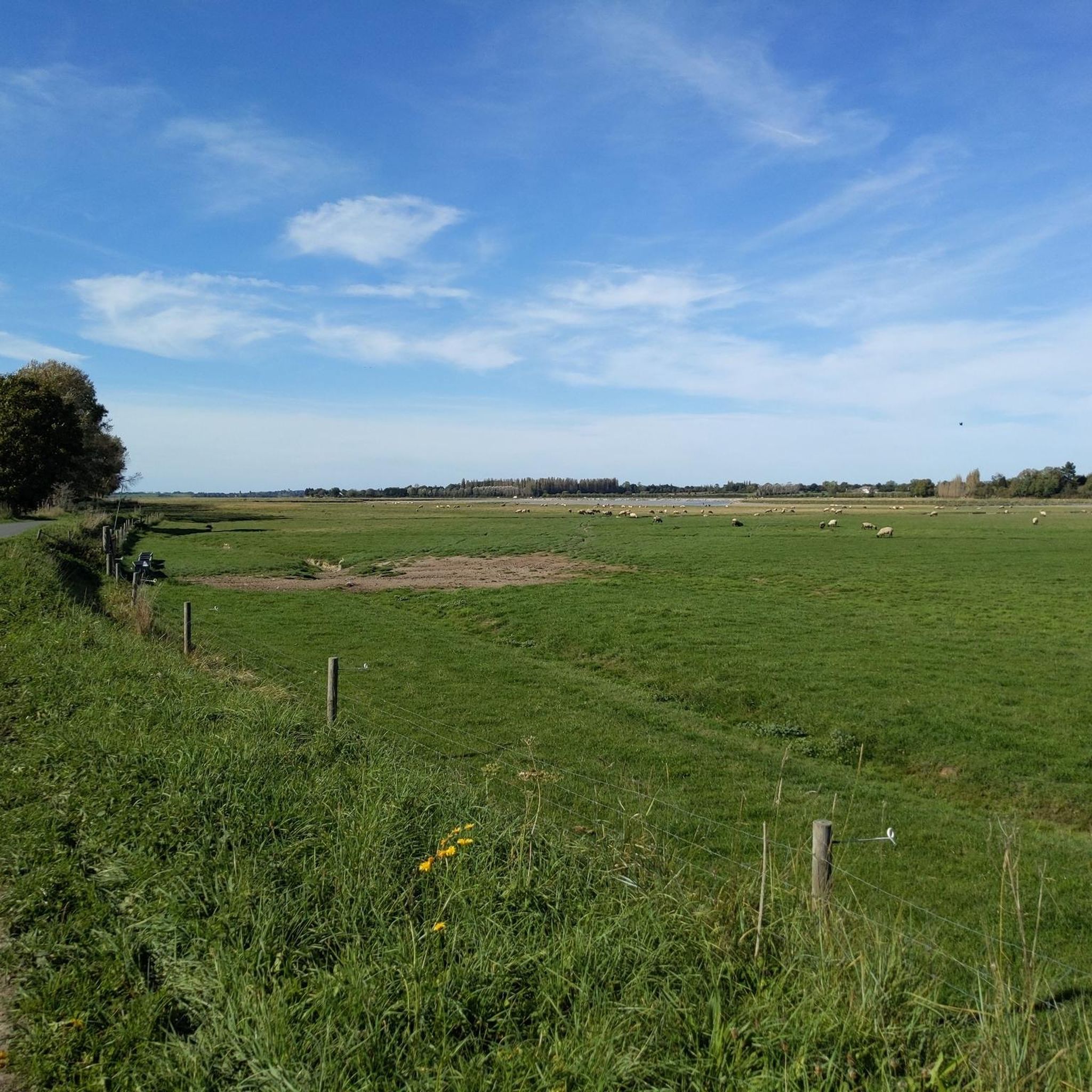
- Another top favourite among local hikers is View of the Green Field loop from Saint-Brice, an easy 3.9 miles (6.2 km) path. This trail offers views of the verdant, rural landscape near Saint-Brice.
- Local hikers also love the Avranches Botanical Garden – Kirche Notre-Dame-des-Champs loop from Avranches, a 3.9 miles (6.3 km) trail leading through the botanical garden and past historical sites, often completed in about 1 hour 40 minutes.
- Hiking around Saint-Senier-Sous-Avranches is defined by bocage countryside, river valleys, and views towards Mont Saint-Michel Bay. The network offers options for easy, moderate, and some more challenging routes.
- The routes in Saint-Senier-Sous-Avranches are highly rated by the komoot community with an average score of 4.7 stars from more than 280 reviews. More than 1400 hikers have used komoot to explore Saint-Senier-Sous-Avranches's varied terrain.
Last updated: July 5, 2026
4.5
(2)
2
hikers
3.88km
01:03
50m
50m
Easy hike. Great for any fitness level. Easily-accessible paths. Suitable for all skill levels.
5.0
(1)
9
hikers
6.22km
01:42
100m
100m
Easy hike. Great for any fitness level. Easily-accessible paths. Suitable for all skill levels.

Sign up for free
5.0
(2)
6
hikers
Easy hike. Great for any fitness level. Easily-accessible paths. Suitable for all skill levels.
4
hikers
4.68km
01:18
80m
80m
Easy hike. Great for any fitness level. Easily-accessible paths. Suitable for all skill levels.
3
hikers
7.18km
01:55
80m
80m
Easy hike. Great for any fitness level. Easily-accessible paths. Suitable for all skill levels.
Get access to more routes and recommendations from other explorers.
Sign up for free
Already have an account?
Our route recommendations are based on thousands of hikes, rides, and runs completed by other people on komoot.
Start today with a free account
Your next adventure awaits.
Login or Signup



Tips from the Community

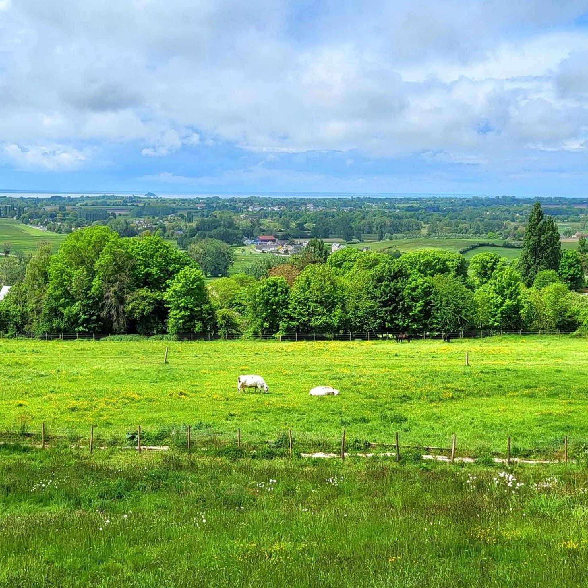
Here is the entrance to the park with a great view over the entire region to the sea. There are benches, shade, a playground, lawns and much more.
0
0
Beautiful houses, great city center with many small cafes and restaurants.
0
0
Beautiful old fortress that surprises you. When you get to the top there is a beautiful garden with loungers and benches. There are fruit trees, flowers and even a studio. And your own mega view over the city
1
0
From the old fortress you have a beautiful view over the roofs of the city
1
0
There is great art to discover on the street.
0
0

The old Notre-Dame des Champs church was located, as its name suggests, outside the city, to the south. This very simple church, known from a photo and a few engravings, dates from the end of the 17th century. Having become too small and work becoming necessary, the idea was accepted, around 1855, of constructing a new building, especially after the collapse of the Saint-André cathedral. Plans and an estimate were drawn up by the architect Nicolas Théberge, architect from La Manche and “child of the parish”. We also owe the latter other buildings in the neo-Gothic style such as Saint-Patrice du Teilleul in 1851, Saint-Hilaire-du-Harcouët in 1855, Saint-Pair de Sartilly or Sainte-Croix de Saint-Lô in 1860. However, it was not until April 12, 1863 to witness the laying of the first stone. The "neo-Gothic" style decided on by the architect involves the construction of a building with bold proportions that completely break with those of the modest church that we wish to replace. The means of the city and the parish were insufficient, especially since the reconstruction of Saint-Gervais had been very expensive, and in 1865 the mayor of Avranches and the archpriest traveled to Paris to seek help state finance. This long-requested aid was not finally granted until 1876 and the consecration of the church by Bishop Germain took place on November 13, 1892. The slow construction of the building was marred by many sometimes tragic events such as, in 1868, the death of a twenty-seven-year-old mason who fell from the height of the rose window where he was working. The architect Théberge, who died in 1866, was replaced by Cheftel. Delayed by the First World War, which mobilized all the workforce, the two towers of the facade were completed between 1926 and 1937; at this time, the large organs were also installed, the wind tunnel of which immediately benefited from electricity. In June 1944, the church was seriously damaged by a fire following the bombardment of the city. Restoration work lasted several years and the reopening to worship only took place in February 1962. The church is in the form of a nave with a façade with two towers (unfinished arrows), a projecting transept, and an ambulatory choir with an axial chapel (never built)1. The church had been provided with a set of windows signed Duhamel-Marette, destroyed by the bombings of 1944
0
0

This former fortified castle was built in the 10th century to protect the city from Breton attacks. Located on a rock, it offers beautiful views over the bay of Mont-Saint-Michel and the Sée valley.
2
0

The Château d'Avranches was built around 950 by Onfroi Le Dane, on the remains of the old Roman walls. Located on a rock, the fortress could monitor the bay of Mont-Saint-Michel and the various invaders made no mistake and occupied it; Celts with the Abrincates, Romans, Saxons, then Franks. A succession of enclosures and ditches were added to it. The Roman keep unfortunately disappeared in the last century. The top of the curtain forms a platform at the same level as the terrace. A diagram, made by Canon Pigeon, shows how keep and curtain wall were connected. This is also verifiable in a document kept in the Calvados Archives. Another detail should be noted, it is impossible to access the terrace from inside the building. Passages were obstructed after a collapse of the upper level of the building, at an undetermined time. Today, at the top of a crenellated curtain wall, one discovers a panorama over the bay and the valley of the Sée, in the heart of the various Avranchinese districts.
8
0
Frequently Asked Questions
How many hiking trails are available around Saint-Senier-Sous-Avranches?
There are over 140 hiking routes available around Saint-Senier-Sous-Avranches, catering to various skill levels. This includes 76 easy routes, 66 moderate routes, and a few more challenging options.
What kind of terrain can I expect on hikes in this region?
The region around Saint-Senier-Sous-Avranches features diverse terrain. You'll find characteristic bocage countryside with hedgerows and woodlands, tranquil river valleys like the Sée and Sélune, and elevated viewpoints offering vistas of the green countryside and the distant Mont Saint-Michel Bay. Coastal paths are also accessible nearby, providing varied landscapes.
Are there any family-friendly hiking options?
Yes, many trails in the area are suitable for families. With 76 easy routes available, you can find gentle walks through the bocage countryside or explore historical sites in nearby Avranches. For example, the Avranches Botanical Garden – Kirche Notre-Dame-des-Champs loop is an easy 6.3 km trail that families might enjoy.
What are the best viewpoints or landmarks to see while hiking?
Hikers can enjoy several notable viewpoints and landmarks. The Grouin du Sud offers remarkable views of Mont Saint-Michel Bay. You can also explore historical sites like the Château d'Avranches or the Priory of St Léonard. Many trails provide panoramic vistas of the surrounding Norman countryside.
Are there any dog-friendly hiking trails in the area?
While specific dog-friendly designations aren't always marked, many of the rural paths and trails through the bocage countryside and woodlands are generally suitable for dogs, provided they are kept under control. Always check local signage for any restrictions, especially in nature reserves or protected areas.
What do other hikers say about the trails in Saint-Senier-Sous-Avranches?
The hiking experience around Saint-Senier-Sous-Avranches is highly rated by the komoot community, with an average score of 4.7 stars from over 280 reviews. Hikers often praise the diverse landscapes, from the tranquil bocage to the scenic views of Mont Saint-Michel Bay, and the well-maintained paths.
Are there any long-distance hiking options or multi-day routes?
While the immediate area offers many day hikes, Saint-Senier-Sous-Avranches is close to sections of the famous 'Customs Officers' Path' (GR 223 or GR 34), which is a long-distance coastal trail. This path offers extensive walking opportunities along the 674 km of La Manche coastline, including diverse terrains like dunes, beaches, and cliffs, which can be explored over multiple days.
What is the best time of year to go hiking in Saint-Senier-Sous-Avranches?
The region offers pleasant hiking throughout much of the year. Spring and autumn provide mild temperatures and beautiful scenery with blooming flowers or vibrant fall foliage. Summer is also popular, though trails can be busier. Winter offers a quieter experience, but some paths might be muddy.
Are there any circular hiking routes available?
Yes, many of the trails around Saint-Senier-Sous-Avranches are designed as circular routes, allowing you to start and end at the same point. Examples include the View of the Green Field loop from Saint-Brice and the View of the Green Field loop from La Godefroy, both offering scenic loops through the countryside.
Where can I find parking for hiking trails?
Parking is generally available at trailheads, near villages, or at popular attractions like those in Avranches. For specific routes, it's advisable to check the route details on komoot, as many tours include information on starting points which often correspond to accessible parking areas.
Are there any challenging hikes in the area?
While the majority of routes are easy to moderate, there are a few more challenging options available. The region's varied terrain, including some hilly sections in areas like the Sée Valley or the Mortainais, can provide more strenuous walks for experienced hikers. For example, the Château d'Avranches – Donjon of Avranches loop is a moderate 10.8 km route with some elevation gain.
Can I access hiking trails using public transport?
Access to some trailheads, particularly those starting in larger towns like Avranches, may be possible via local public transport. However, for trails deeper in the bocage or rural areas, public transport options might be limited, and a car is often recommended for convenience. It's best to check local bus schedules for specific starting points.
Most popular routes around Saint-Senier-Sous-Avranches
Most popular attractions around Saint-Senier-Sous-Avranches

Get inspired with the komoot mobile app


Explore more
Browse the best Hikes in other regions.
