The best road cycling routes around Saint-Ovin
4.4
(65)
1,457
riders
271
rides
Road cycling around Saint-Ovin, located in the Mont Saint-Michel Bay area of Normandy, France, offers diverse terrain for cyclists. The region features elevations ranging from 36 to 193 meters, providing a mix of gentle gradients and more challenging climbs. Cyclists can explore varied landscapes including coastal areas, salt meadows, bocage countryside, and river valleys like the Sélune. The area is characterized by a network of small country roads and greenways, connecting maritime and rural environments.
Best road cycling routes around…
Last updated: July 5, 2026
5.0
(1)
24
riders
53.8km
02:19
390m
390m
Moderate road ride. Good fitness required. Some segments of this route may be unpaved and difficult to ride.
26
riders
Moderate road ride. Good fitness required. Some segments of this route may be unpaved and difficult to ride.

Sign up for free
14
riders
55.5km
02:46
640m
640m
Moderate road ride. Good fitness required. Some segments of this route may be unpaved and difficult to ride.
13
riders
Moderate road ride. Good fitness required. Mostly well-paved surfaces and easy to ride.
20
riders
33.7km
01:30
270m
270m
Easy road ride. Great for any fitness level. Mostly well-paved surfaces and easy to ride.
Get access to more routes and recommendations from other explorers.
Sign up for free
Already have an account?
Our route recommendations are based on thousands of hikes, rides, and runs completed by other people on komoot.
Start today with a free account
Your next adventure awaits.
Login or Signup

Tips from the Community


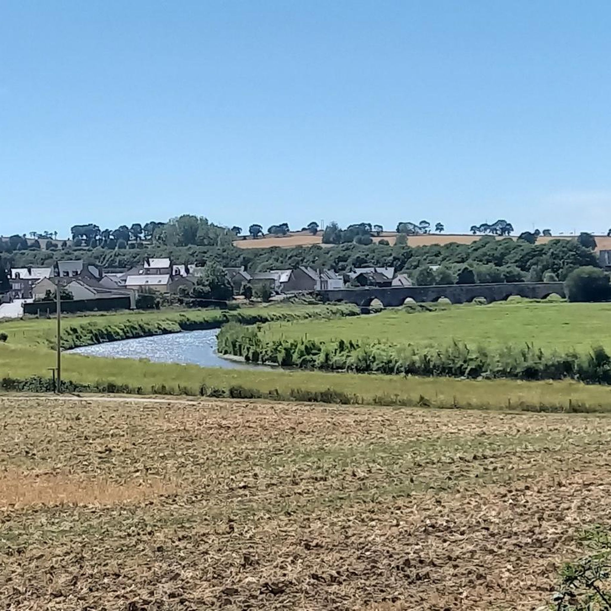
Parts of the route along the sea do not exist or are forbidden for bicycles
0
0

Mountain bike park with a pumptrack, restrooms, and a water fountain. Four cross-country loops (green, blue, red, black) and one downhill loop. Well-maintained with a magnificent view.
0
0

The Brouains Bumps: Pumptrack / Jumpline / DH / XCO - for mountain biking enthusiasts. Entry fee required.
0
0

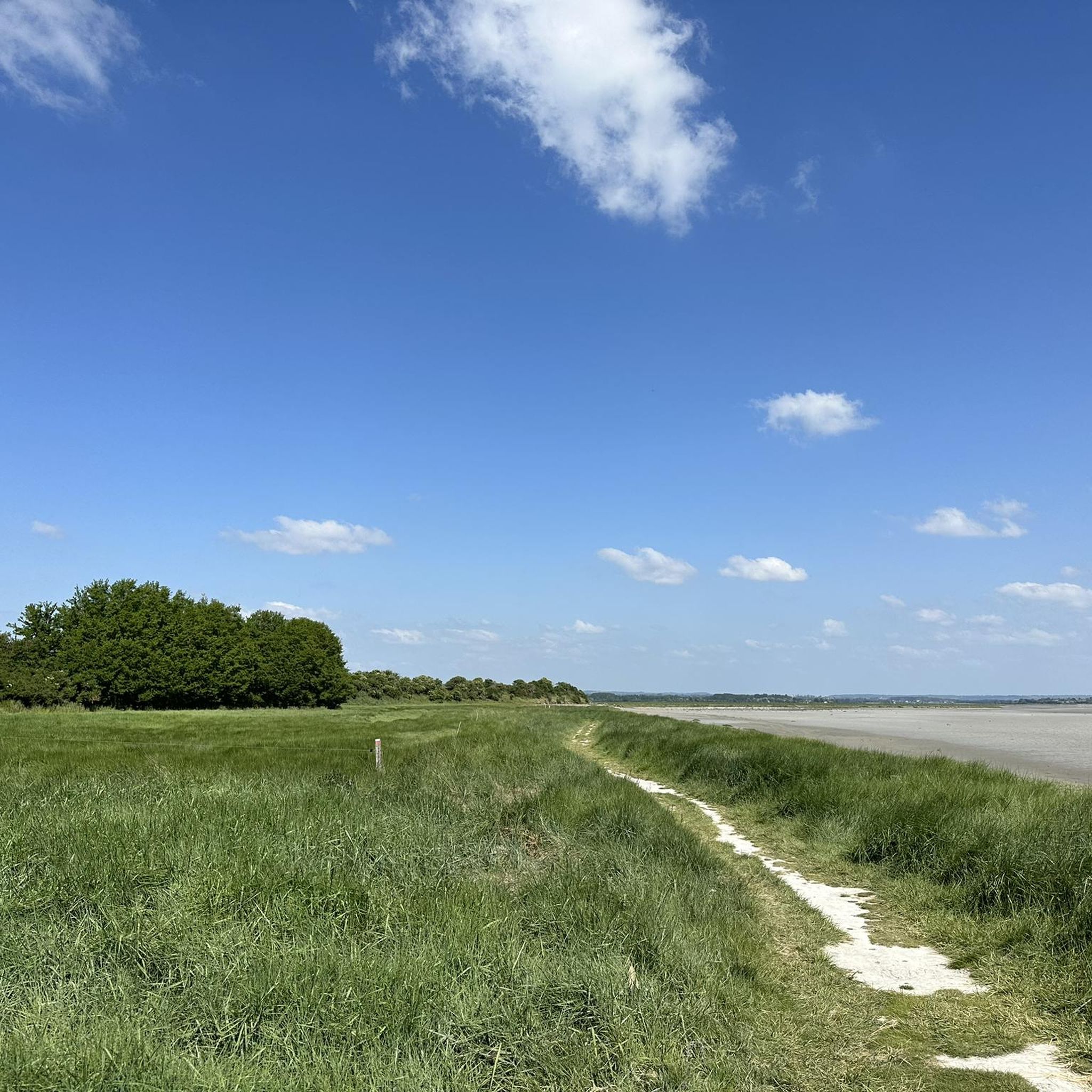
During very high tides, your wheels may be in the water.
0
0

So peaceful. Soon you will be among the crowds visiting this iconic location but for now, it is just you and the moutons.
0
0
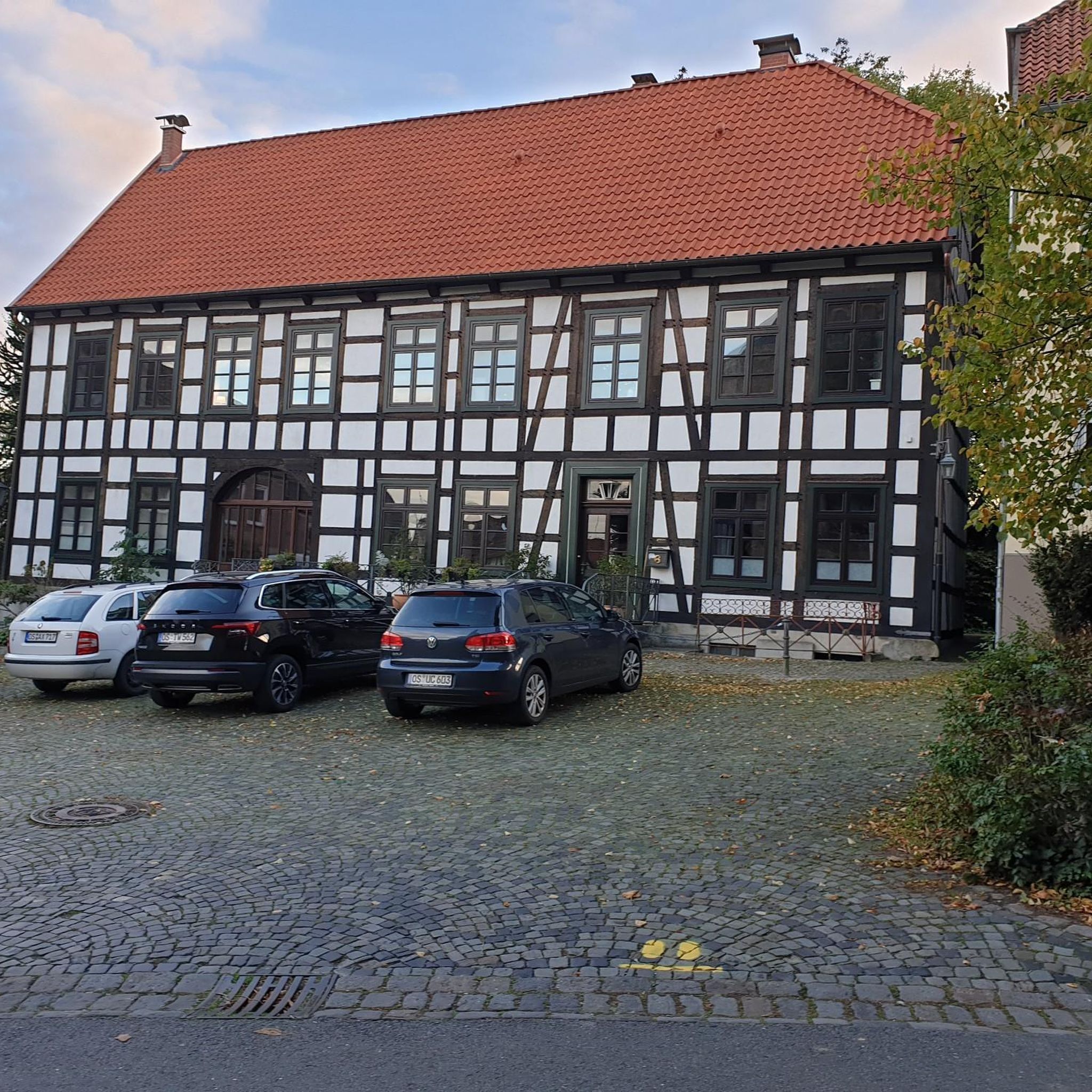
Spectacular technology and architecture fusion, worth spending 20-30 min to admire
0
0
Frequently Asked Questions
How many road cycling routes are available around Saint-Ovin?
There are over 250 road cycling routes around Saint-Ovin, catering to various skill levels. This includes 23 easy routes, 194 moderate routes, and 33 more challenging options for experienced cyclists.
What kind of terrain can I expect on road cycling routes near Saint-Ovin?
The terrain around Saint-Ovin is diverse, with elevations ranging from 36 to 193 meters. You'll find a mix of coastal paths along the Mont Saint-Michel Bay, routes through unique salt meadows, and trails winding through bocage countryside and river valleys like the Sélune. This offers both gentle gradients and more challenging climbs.
Are there routes with significant elevation gain for more challenging rides?
Yes, for cyclists seeking more challenging rides, there are routes with notable elevation gain. For instance, The upper Sée valley – Mur de La Lorière loop from Le Petit-Celland features an elevation gain of approximately 678 meters over its 58.1 km distance. Another option is the Daniel Mangeas Cycling Museum – Pont les biards loop from Le Petit-Celland, which includes about 749 meters of ascent.
What landmarks or scenic viewpoints can I see while road cycling in the Saint-Ovin area?
Many routes offer stunning views and access to historical sites. You can enjoy coastal views of the iconic Mont Saint-Michel Bay, especially on routes like the View of Mont Saint-Michel loop from Le Petit-Celland. Other notable attractions include the historic Pontaubault Bridge over the Sélune River, the Montgommery Castle in Ducey, and the ancient Château d'Avranches.
Are there family-friendly road cycling routes around Saint-Ovin?
While specific 'family-friendly' designations for road cycling can vary, the region offers numerous local greenways and paths, often utilizing converted old train tracks, which provide gentle gradients. These are generally suitable for a more relaxed pace and can be enjoyed by families. The diverse network includes 23 easy routes that could be good starting points.
What is the best time of year to go road cycling in Saint-Ovin?
The Mont Saint-Michel Bay area, including Saint-Ovin, generally offers pleasant cycling conditions from spring through early autumn. These seasons provide milder weather, making it ideal for exploring the coastal and rural landscapes. Always check local weather forecasts before heading out.
Are there circular road cycling routes available?
Yes, many of the road cycling routes around Saint-Ovin are designed as loops, allowing you to start and finish at the same point. Examples include the Sélune Riverbank – View of Mont Saint-Michel loop from Le Grand-Celland, which covers nearly 80 km, and the Mur de La Lorière – The upper Sée valley loop from Le Grand-Celland.
What do other road cyclists enjoy most about road cycling in Saint-Ovin?
The area is highly rated by the komoot community, with an average score of 4.4 stars from over 60 reviews. Cyclists often praise the stunning coastal paths along Mont Saint-Michel Bay, the unique experience of riding through salt meadows, and the varied routes winding through the bocage countryside. The blend of scenic beauty and diverse terrain is a common highlight.
Can I access road cycling routes in Saint-Ovin using public transport?
While Saint-Ovin itself is a smaller commune, the broader Mont Saint-Michel Bay area is well-connected. Cyclists can often use regional bus services or trains to reach nearby towns like Avranches, which may offer better public transport links. From there, you can cycle to Saint-Ovin or directly access routes. It's advisable to check specific transport provider policies regarding bicycles.
Are there facilities like cafes or accommodation specifically for cyclists in the area?
The region around Mont Saint-Michel Bay is committed to cycling tourism, with many services certified under the 'Accueil Vélo' (Cyclists Welcome) scheme. This means you can find accommodations, restaurants, and other services that cater specifically to cyclists, offering amenities like secure bike storage and repair kits. Towns like Avranches and Ducey, close to Saint-Ovin, are good places to look for such facilities.
Are there any long-distance cycling routes that pass through or near Saint-Ovin?
Yes, Saint-Ovin is situated within a region that is a major hub for long-distance cycling. Three prominent marked bike routes pass through or near the Mont Saint-Michel Bay area: the Véloscénie (connecting Paris to Mont Saint-Michel), the Landing Beaches to Mont Saint-Michel cycling route, and the vast Vélomaritime® EuroVélo4, which spans from the English Channel to the North Sea.
Most popular routes around Saint-Ovin
Most popular attractions around Saint-Ovin

Get inspired with the komoot mobile app


Explore more
Browse the best Road cycling routes in other regions.
