The best running trails around La Chapelle-Urée
3.8
(23)
594
runners
71
runs
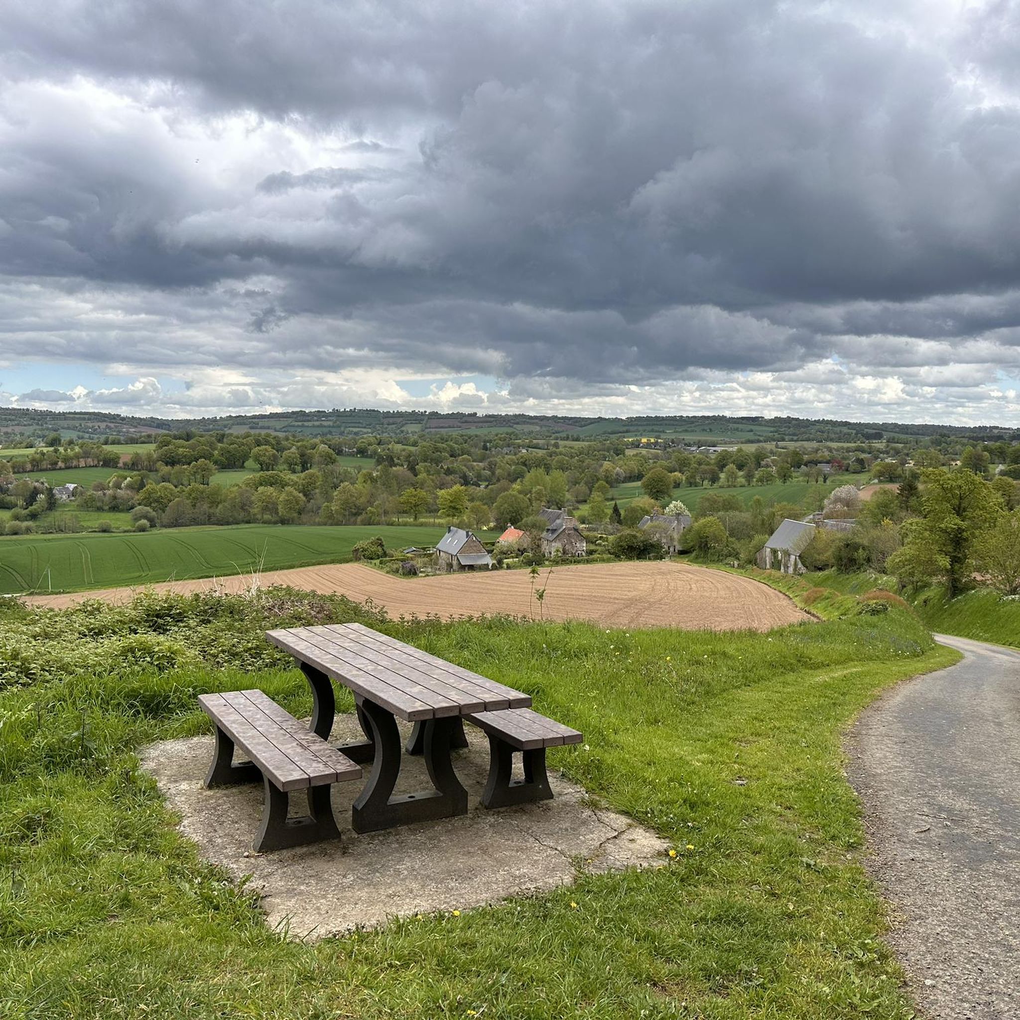
Jogging around La Chapelle-Urée offers an exploration of a rural commune characterized by undulating terrain, verdant hedged fields (bocage), and a network of streams. The landscape provides varied backdrops for runs, from gentle inclines to more challenging ascents. A significant feature for runners is the presence of greenways on former railway lines, offering flat, well-maintained paths away from traffic.
Best jogging routes around La Chapelle-Urée
- The most popular jogging route is Running loop from Isigny-le-Buat, a 6.1 miles (9.8…
Last updated: August 19, 2026
3.0
(1)
6
runners
9.83km
01:06
110m
110m
Moderate run. Good fitness required. Mostly paved surfaces. Suitable for all skill levels.
6
runners
6.07km
00:39
70m
70m
Moderate run. Good fitness required. Mostly paved surfaces. Suitable for all skill levels.

Sign up for free
3.0
(2)
9
runners
7.91km
00:58
30m
20m
Moderate run. Good fitness required. Mostly paved surfaces. Suitable for all skill levels.
6
runners
8.52km
00:55
130m
130m
Moderate run. Good fitness required. Mostly paved surfaces. Suitable for all skill levels.
2
runners
17.9km
02:00
190m
190m
Hard run. Very good fitness required. Mostly paved surfaces. Suitable for all skill levels.
Get access to more routes and recommendations from other explorers.
Sign up for free
Already have an account?
Our route recommendations are based on thousands of hikes, rides, and runs completed by other people on komoot.
Start today with a free account
Your next adventure awaits.
Login or Signup


Tips from the Community

great spot just past here to stop for a coffee or 2km further on in Isigby Le but there is a Boulangerie and a tabac for great sandwiches and coffee there is also a coccimarket
0
0

And we saw the 15th edition of the art trails! So many creative ideas!
0
0

Here Alice is depicted in Wonderland.
1
0
The 14th edition of the art paths. A tube organ can be seen here. If you hit the top of a flip flop, a tone will sound on the tube
1
0

This old station is located on the old railway route, now converted into a greenway. It's nice to find a water point there as well as benches and tables.
1
0
Frequently Asked Questions
How many running routes are available in La Chapelle-Urée?
There are over 60 running routes around La Chapelle-Urée listed on komoot, offering a wide variety of options for different fitness levels and preferences.
Are there easy running routes suitable for beginners or families?
Yes, La Chapelle-Urée offers several easy running routes. For instance, there are 2 routes specifically categorized as easy, and many of the 50 moderate routes also feature gentle inclines, making them accessible for those new to running or looking for a relaxed pace. The greenways on former railway lines are particularly good for comfortable, flat runs.
What kind of terrain can I expect on the running trails in La Chapelle-Urée?
Runners in La Chapelle-Urée can expect a diverse landscape characterized by undulating terrain, verdant hedged fields (bocage), and a network of streams. You'll find paths ranging from gentle inclines to more challenging ascents, often winding through tranquil Norman countryside. A significant feature is the presence of greenways on former railway lines, which provide flat, well-maintained paths away from traffic.
Are there any circular running routes in the area?
Yes, many of the running routes around La Chapelle-Urée are circular. For example, the Running loop from Isigny-le-Buat is a popular 6.1-mile (9.8 km) circular trail, and the Old railway station loop from Montgothier offers a 4.9-mile (7.9 km) circular experience.
Can I bring my dog on the running trails in La Chapelle-Urée?
While specific regulations for each trail can vary, generally, dogs are welcome on many rural trails in France, especially if kept on a leash. The tranquil, rural nature of La Chapelle-Urée's paths, including greenways and bocage trails, often makes them suitable for running with a dog. Always ensure your dog is under control and respect local signage.
What are some interesting sights or landmarks I might see while running?
While La Chapelle-Urée is primarily known for its natural beauty, you can encounter interesting features. Some routes, like the Old railway station loop from Montgothier, utilize former railway lines, offering a glimpse into local history. The Old railway station itself is a notable highlight. You'll also pass through charming local villages and hamlets, and the undulating terrain provides scenic viewpoints of the surrounding Norman countryside.
What do other runners say about the trails in La Chapelle-Urée?
The running routes in La Chapelle-Urée are highly rated by the komoot community, with an average score of 3.8 stars from 16 reviews. Over 400 runners have used komoot to explore the area, often praising the tranquil rural environment, the varied terrain, and the well-maintained greenways that offer a pleasant experience away from traffic.
Where can I find parking near the running routes?
Given the rural nature of La Chapelle-Urée, parking is generally available in or near the small villages and hamlets that serve as starting points for many routes. The former railway station, now a greenway point, often provides amenities like benches and tables, suggesting it could be a convenient spot for parking to access nearby trails.
Is public transport available to reach the running trails in La Chapelle-Urée?
Public transport options directly to La Chapelle-Urée are limited due to its rural location. While there might be local bus services connecting to larger towns like Avranches or Isigny-le-Buat, it's advisable to check specific bus routes and schedules (e.g., Nomad Car 50) in advance. Access by car is generally the most convenient way to reach the trailheads.
What is the best time of year for jogging in La Chapelle-Urée?
The best time for jogging in La Chapelle-Urée is generally during the spring, summer, and early autumn months. The weather is typically milder and more pleasant, allowing you to fully enjoy the verdant landscapes and outdoor experience. The bocage scenery is particularly beautiful when in full bloom or displaying autumn colors.
Are there any longer or more challenging running routes for experienced runners?
Yes, for experienced runners seeking a greater challenge, La Chapelle-Urée offers several difficult routes. An example is the Old railway station loop from Isigny-le-Buat, which is a demanding 11.3-mile (18.2 km) trail with significant elevation changes, providing a robust workout amidst the scenic Norman countryside.
What makes the landscape unique for running in this region of Normandy?
The landscape around La Chapelle-Urée is uniquely Norman, characterized by its 'bocage' – a mosaic of small fields enclosed by dense hedgerows and trees. This creates a sense of tranquility and natural beauty, offering varied and interesting backdrops for runs. The presence of greenways on former railway lines also provides distinct, flat paths, contrasting with the region's naturally undulating terrain and network of streams.
Most popular routes around La Chapelle-Urée
Most popular attractions around La Chapelle-Urée

Get inspired with the komoot mobile app


Explore more
Browse the best Running Trails & Routes in other regions.
