The best road cycling routes around Lavieu
4.3
(63)
2,102
riders
228
rides
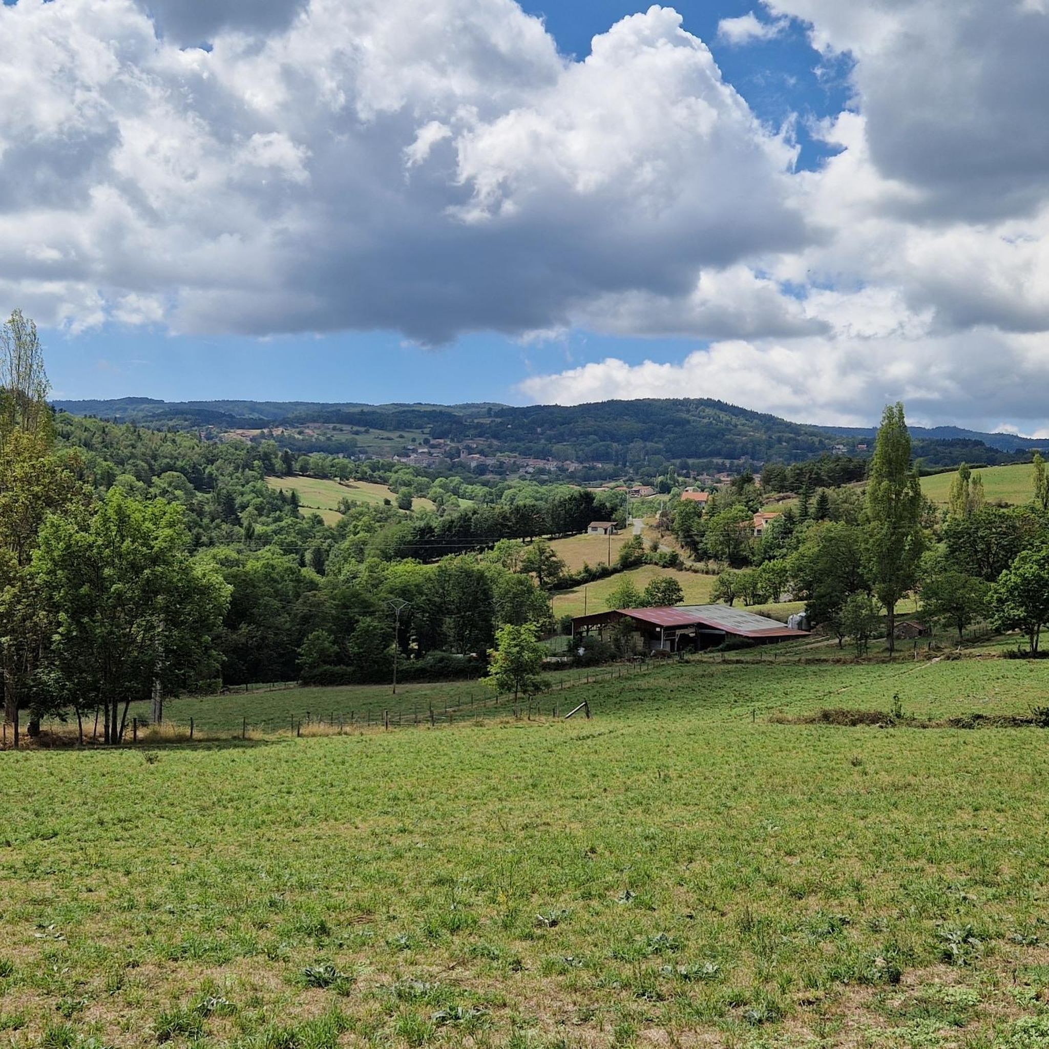
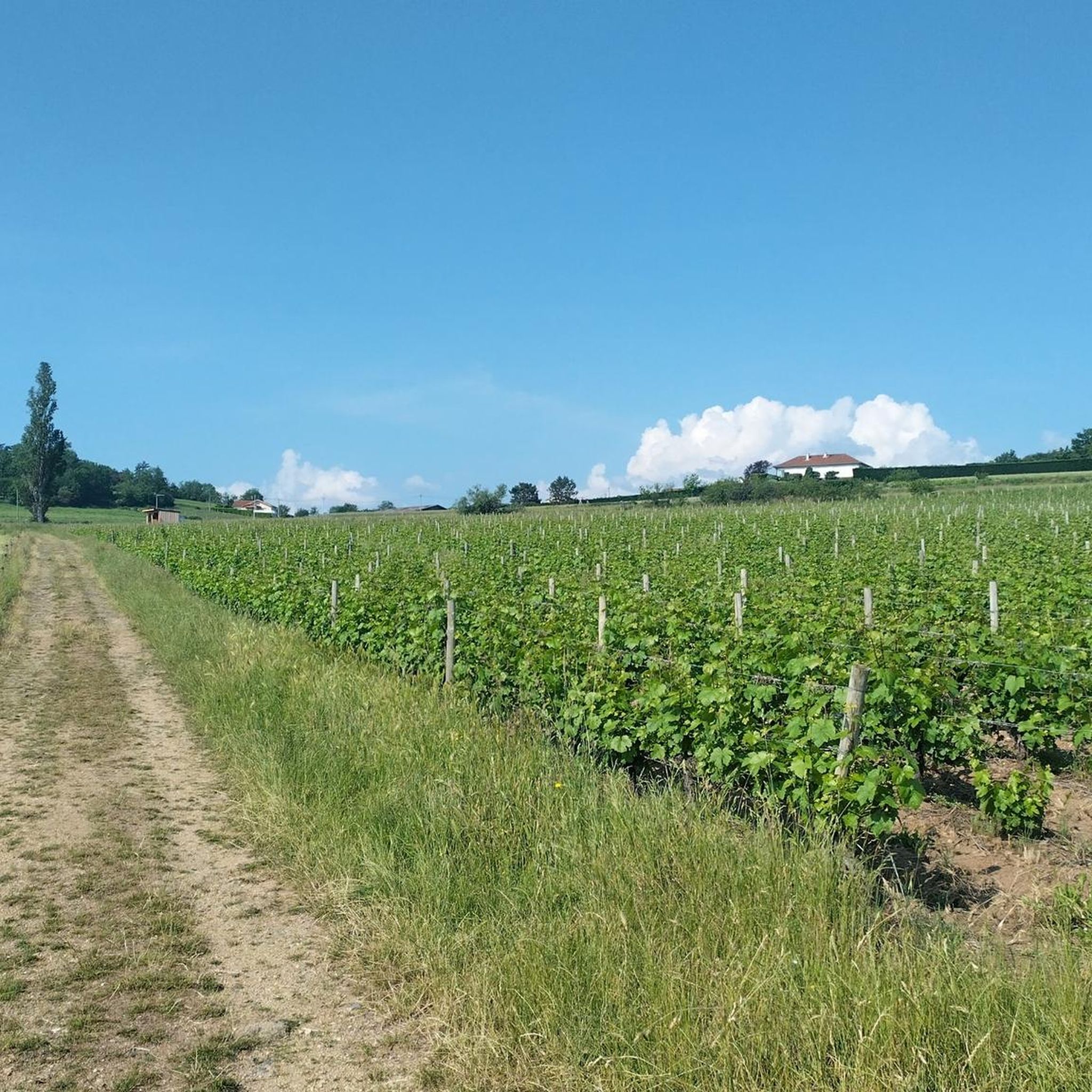
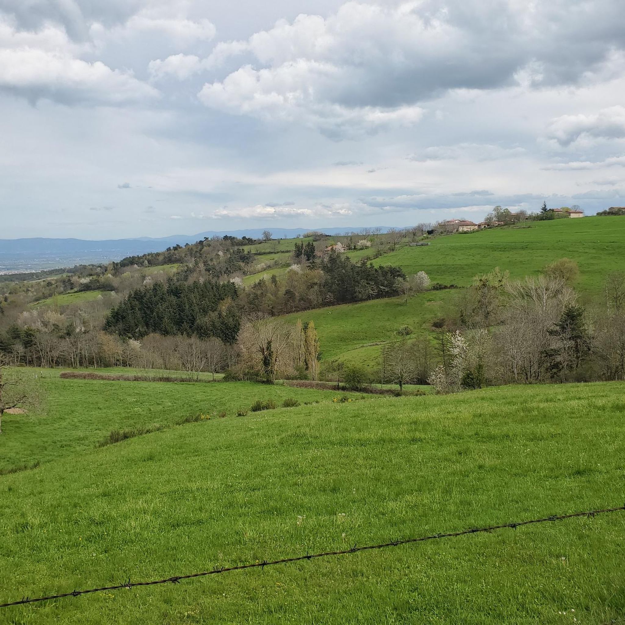
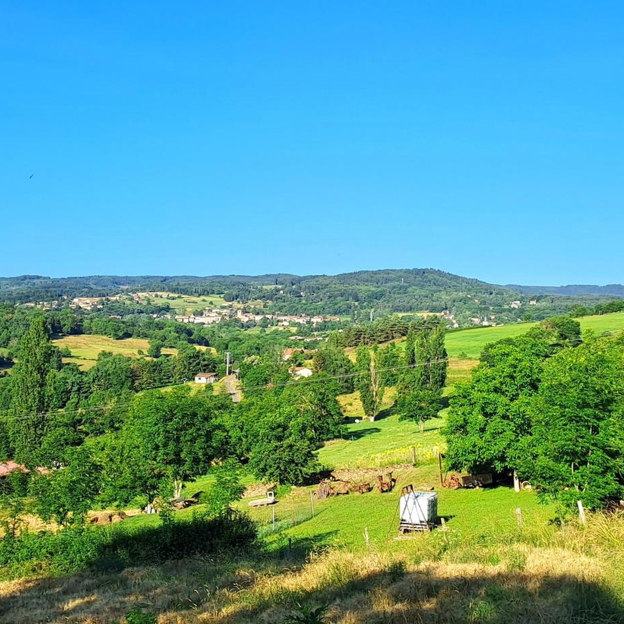
Road cycling routes around Lavieu offer a range of experiences across varied terrain. The region features a mix of rolling hills and more challenging ascents, with routes often traversing through rural landscapes. While specific prominent natural features for Lavieu are not detailed, the area provides opportunities for road cyclists to explore local roads and elevation changes. The routes available cater to different fitness levels, from moderate to difficult.
Best road cycling routes around Lavieu
- The most popular road cycling route…
Last updated: July 1, 2026
5.0
(1)
69
riders
79.1km
04:25
1,760m
1,760m
Hard road ride. Very good fitness required. Some segments of this route may be unpaved and difficult to ride.
46
riders
63.0km
03:05
910m
900m
Hard road ride. Very good fitness required. Mostly well-paved surfaces and easy to ride.

Sign up for free
32
riders
127km
06:49
2,380m
2,380m
Hard road ride. Very good fitness required. Mostly well-paved surfaces and easy to ride.
28
riders
123km
07:06
2,580m
2,580m
Hard road ride. Very good fitness required. Mostly well-paved surfaces and easy to ride.
4.0
(1)
24
riders
53.7km
02:08
200m
200m
Moderate road ride. Good fitness required. Some segments of this route may be unpaved and difficult to ride.
Get access to more routes and recommendations from other explorers.
Sign up for free
Already have an account?
Our route recommendations are based on thousands of hikes, rides, and runs completed by other people on komoot.
Start today with a free account
Your next adventure awaits.
Login or Signup

Tips from the Community

Great view from Essalois castle.
0
0

A breathtaking view of the Forez Mountains. A site that's well worth the effort...
0
0

Reserved for users of ravine paths with stones.
0
0

A breathtaking view that is worth the effort and wild landscapes! What a natural spectacle, wow! Undeniably one of the places not to be missed in Auvergne.
1
0

Magnificent village promoting artists and artisans... a super nice café: La Pause Marolaise
0
0

Beautiful little road, regular gradient, beech forest
0
0

Surrounded by green hills and forests, this reservoir offers a peaceful setting for a stroll or a boat trip. The dam itself, with its panoramic views of the Loire Valley and the Château de Grangent, emerging from a small island, is a striking sight.
2
1
The view is superb, the surrounding paths are great!
0
0
Frequently Asked Questions
How many road cycling routes are available around Lavieu?
There are over 220 road cycling routes around Lavieu, providing a wide variety of options for cyclists of all levels.
What types of terrain can I expect on road cycling routes near Lavieu?
The region around Lavieu features a mix of rolling hills and more challenging ascents. Routes often traverse through rural landscapes, offering diverse elevation changes and scenic views.
Are there road cycling routes suitable for beginners or families in Lavieu?
Yes, out of the more than 220 routes, 36 are classified as easy, making them suitable for beginners or those looking for a more relaxed ride. Additionally, 137 routes are moderate, offering a good balance for intermediate cyclists.
What are some challenging road cycling routes around Lavieu?
For experienced cyclists seeking a challenge, there are 50 difficult routes available. One notable difficult route is the Marols Village – Grangent Dam loop from Margerie-Chantagret, which covers 39.1 miles (63.0 km) with significant elevation gain. Another is the Col des Pradeaux – Col des Supeyres loop from Gumières, a 49.2 miles (79.1 km) path featuring substantial climbing through mountain passes.
Are there any circular road cycling routes in the Lavieu area?
Many of the routes around Lavieu are designed as loops, allowing you to start and finish in the same location. For example, the Canal du Forez – Monts du lyonnais sud loop from Soleymieux is a 43.8 miles (70.5 km) circular trail through varied landscapes.
What do other road cyclists say about the routes in Lavieu?
The road cycling routes in Lavieu are highly rated by the komoot community, with an average score of 4.2 stars from nearly 100 reviews. Cyclists often praise the varied terrain, from rolling hills to challenging climbs, and the opportunity to explore rural roads.
What kind of natural scenery can I expect while road cycling near Lavieu?
While specific prominent natural features for Lavieu are not detailed, the surrounding area offers rural landscapes with diverse elevation changes. Nearby natural attractions include the Orgues Basaltiques and the Plan d'eau de Saint-Anthème, which provide picturesque settings.
Are there any interesting landmarks or places to visit along the road cycling routes?
Yes, several interesting landmarks and settlements can be explored. You might pass through historic villages like Montarcher and Marols. Other points of interest include the Saint-Thomas Church, Montsupt Peak and Chapel, and the Col de Baracuchet (1267 m).
Are there any long-distance road cycling routes available?
Yes, many routes offer significant distances. For instance, the Col des Pradeaux – Col des Supeyres loop from Gumières is a substantial 49.2 miles (79.1 km) route, ideal for those looking for a longer ride.
What is a good moderate road cycling route in the area?
A popular moderate option is the Roadbike loop from Margerie-Chantagret. This route is 12.6 miles (20.3 km) long with a moderate elevation gain, making it a good choice for a less strenuous ride.
Can I find routes with significant elevation gain for training?
Absolutely. Routes like the Col des Limites loop from Margerie-Chantagret, which is 34.1 miles (54.8 km) long and features nearly 1000 meters of elevation gain, are excellent for training and challenging climbs.
Most popular attractions around Lavieu

Get inspired with the komoot mobile app


Explore more
Browse the best Road cycling routes in other regions.
