Top 6 Mountain Passes around Allenc
Mountain passes around Allenc, a commune in the Lozère department of France, are situated within the Massif Central, particularly the Cévennes and Mont Lozère regions. This area is characterized by mountainous terrain, offering routes for cyclists and hikers. The region features diverse landscapes, including heather moors, granite outcrops, and pine forests. Allenc serves as a base for exploring these natural features.
Best mountain passes around Allenc
- The most popular mountain pass is Loubière Pass, an intermediate mountain pass that…
Last updated: October 13, 2026
Loubière Pass
Highlight • Mountain Pass
Showing Translation
Tip by

Santel Pass
Highlight • Mountain Pass
Translated by Google •
Tip by

Sign up now to discover places like this
Get recommendations on the best single tracks, peaks, & plenty of other exciting outdoor places.
Col du Goulet
Highlight • Mountain Pass
Tip by

Col des Tribes and the watershed divide
Highlight • Mountain Pass
Translated by Google •
Tip by
Pass of the Planted Stone
Highlight • Mountain Pass
Translated by Google •
Tip by

Sign up for free to discover even more mountain passes around Allenc.
Already have an account?
Start today with a free account
Your next adventure awaits.
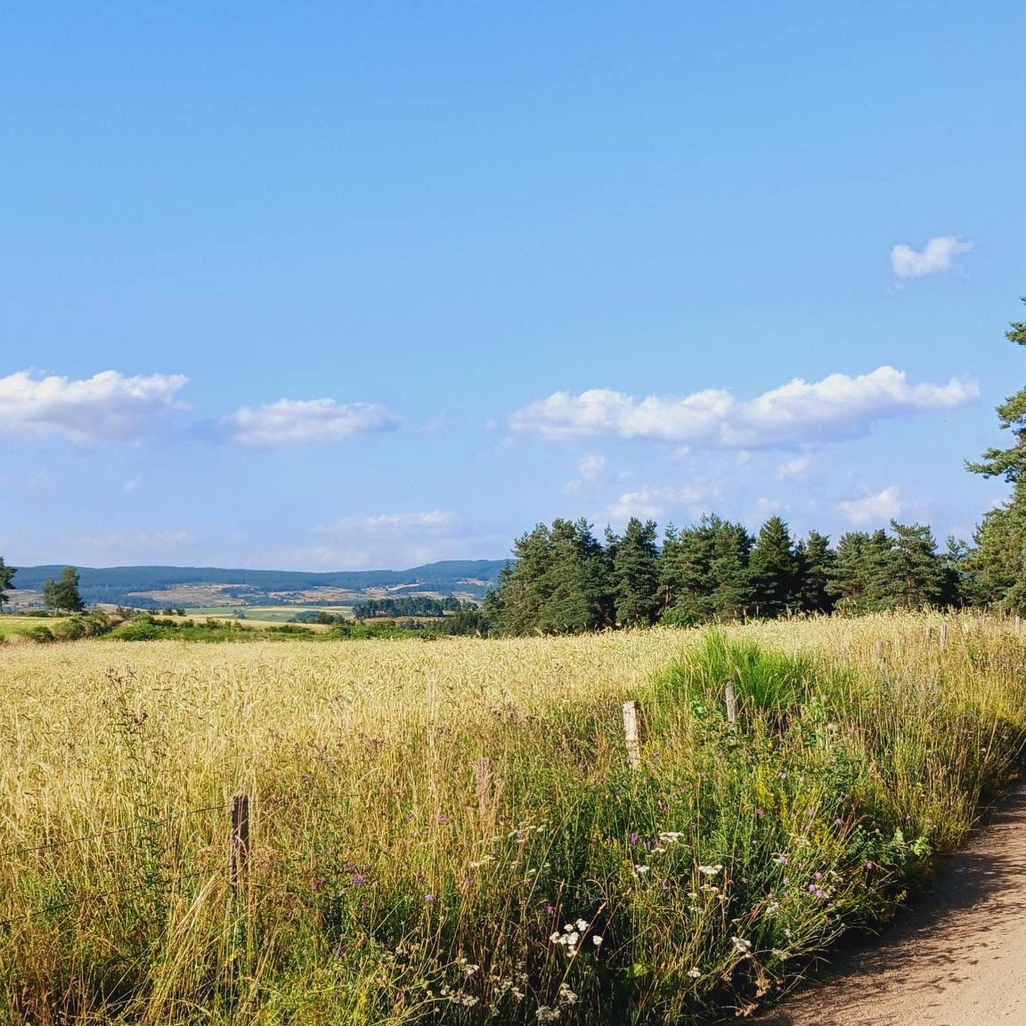
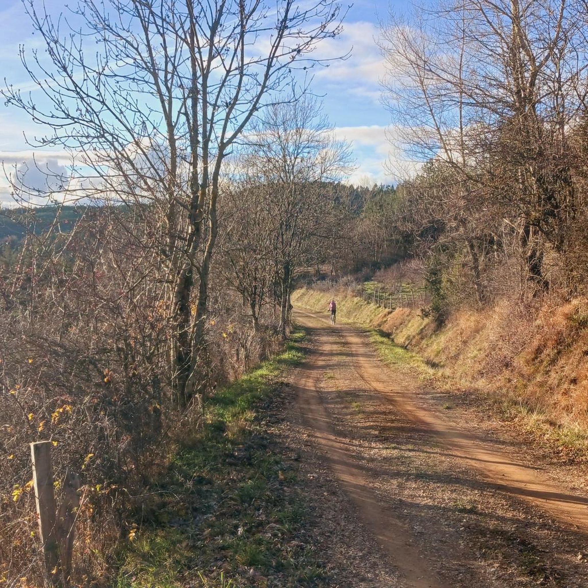
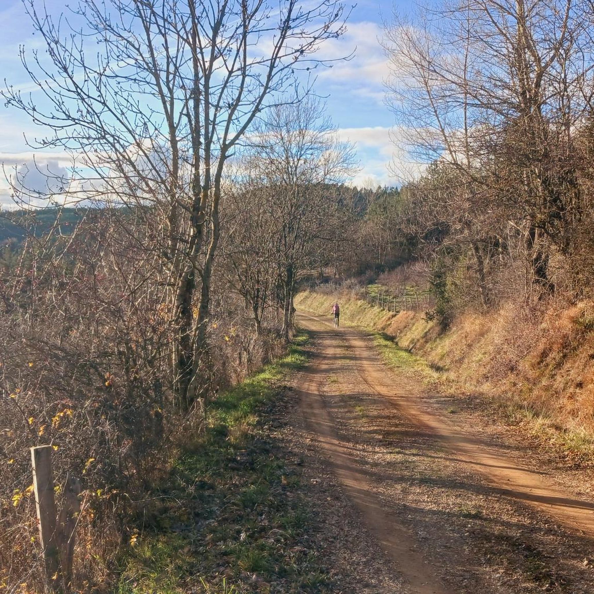
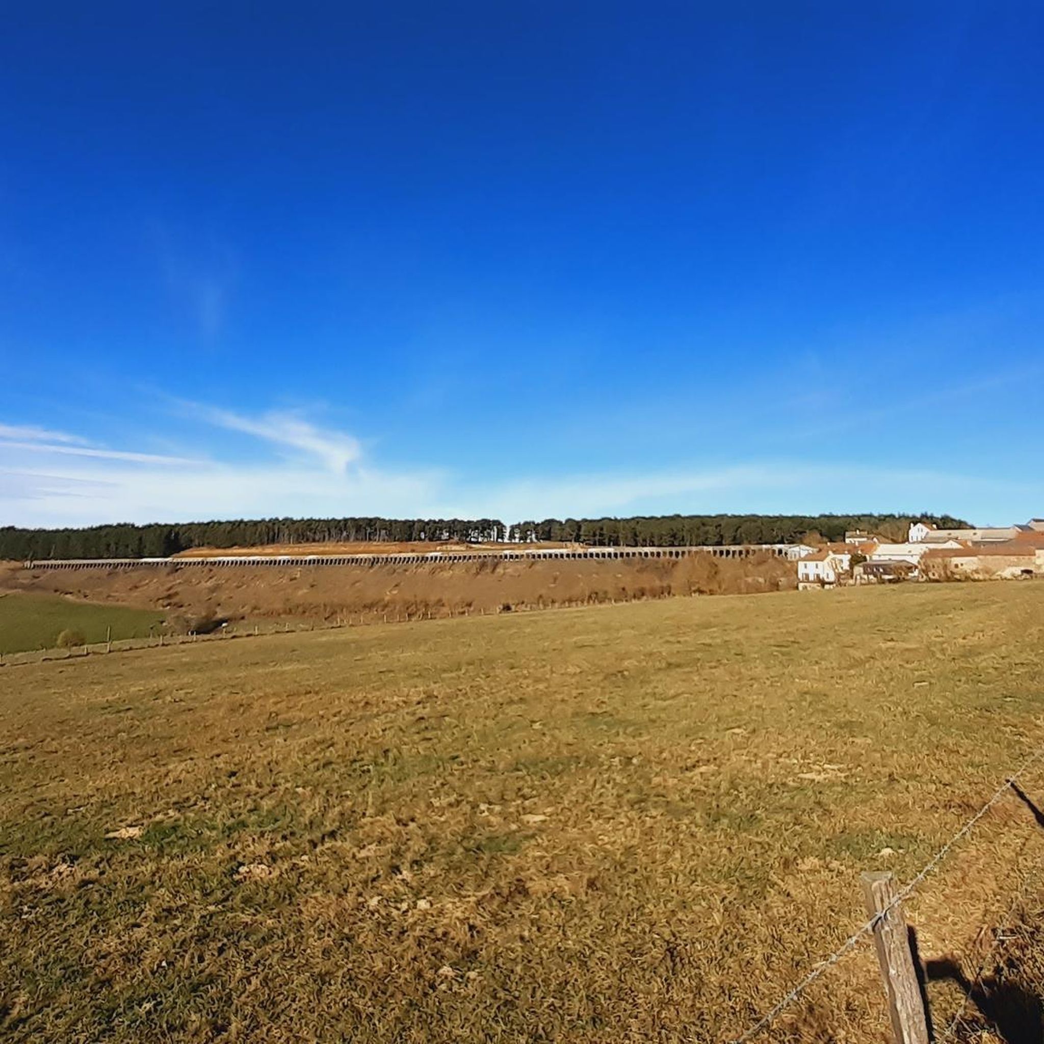
Tips from the Community

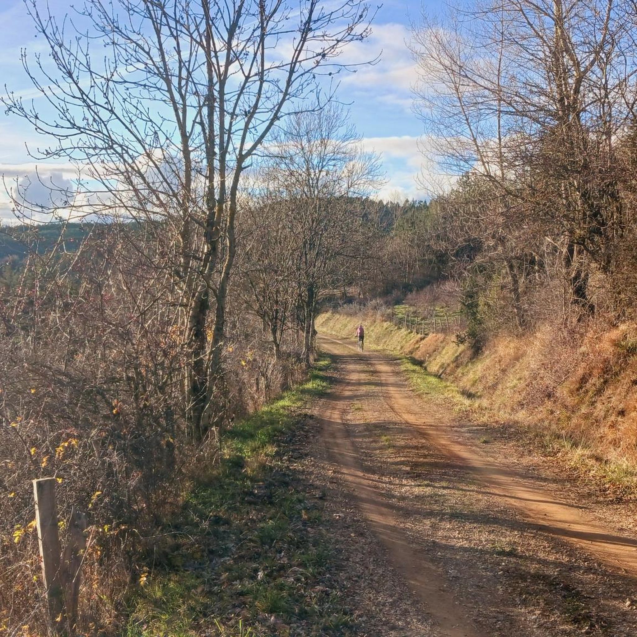
Nice little pass, okay, absolutely easy from Bleymard. Watershed between the Atlantic and the Mediterranean.
0
0
D41, very small road, relatively little traffic, challenging from both sides but doable.
2
0

The Col de Santel connects a number of paths, including the famous GR 68 which goes around Mont-Lozère. From here you can also reach the Col de Finiels, which is the highest point in the Cévennes.
2
0

A col where it can be deceivingly cold as you're not that high up and you will have worked hard to get up here. Bring a jacket for the descent!
0
0

The Col de la Pierre Plantée has a length of 5.1 kilometers with an elevation gain of 299 meters. The average gradient is 5.86% with maximum gradients of 9.7%.
2
0

Located between the Lot valley and Valdonnez, the Col de la Loubière is 1,181 meters high and six kilometers long with an average gradient of 5.59%. The climb, regardless of its side, is very pleasant and takes place on a small, quiet road.
1
0
This middle category pass has the particularity of being located at the level of the watershed line.
1
0

Between the Lot valley and Valdonner.
1
0
Frequently Asked Questions
What are some notable mountain passes near Allenc?
The region around Allenc, within the Massif Central, offers several noteworthy mountain passes. Beyond the popular Loubière Pass and Santel Pass, you can explore the scenic Col de Montmirat, known for its panoramic views, or the historic Col du Sapet, a starting point for many hikes.
Which mountain passes offer the best panoramic views?
For expansive panoramic views, the Col de Montmirat is highly recommended, particularly over the Tarn Valley and the Causse Méjean. The Loubière Pass also provides picturesque views over the valley, depending on the hairpin turns. The Col du Sapet offers magnificent panoramas of the Cévennes and Mont Lozère.
Are there good cycling routes over the mountain passes near Allenc?
Yes, the area is excellent for cycling. The Col de Montmirat is a category 2 climb with varying ascents, including a section that was part of the 2018 Tour de France. The Loubière Pass offers a peaceful cycling experience with minimal car traffic, and since 2019, it features information boards for cyclists. The Col du Sapet is also favored by local cyclists for its scenic climbs.
What hiking opportunities are available around the mountain passes?
Many passes serve as excellent starting points for hikes. The Col du Sapet, for instance, offers routes towards the Signal de Bougès and is part of the Stevenson Trail. From Santel Pass, you can access the famous GR 68, which circles Mont Lozère, and reach the Col de Finiels, the highest point in the Cévennes. For more hiking options, explore the Hiking around Allenc guide.
Are there mountain biking trails accessible from the passes?
Yes, for mountain bikers, reaching the top of the Loubière Pass provides access to trails leading to Col de Finiels, passing Lac de Barandon and La Croix de Maître Vidal, or towards the Causse de Mende. You can find more mountain biking routes in the MTB Trails around Allenc guide.
What is the difficulty level of the mountain passes around Allenc?
The passes offer a range of difficulties. The Loubière Pass is considered intermediate and challenging from both sides, while the Col du Goulet is known for its challenging climb. The Col de Montmirat is a category 2 climb for cyclists. However, some ascents, like from Le Pont de Montvert to Col du Sapet, are described as having a gentle gradient, making them pleasant for hikers.
Are there any historical or cultural points of interest on the passes?
The Col du Sapet is marked by a boundary stone, which is a remnant of medieval land management. The Col des Tribes and the watershed divide is notable for being located at the watershed line, separating waters flowing to the Atlantic and the Mediterranean.
What natural features can I see around the mountain passes?
The region is characterized by diverse natural features. You can expect to see heather moors, granite outcrops, and scattered pine forests, especially on the eastern approach to Col de Montmirat. The Col du Sapet is named after the Occitan word for 'fir,' referring to areas planted with fir trees, and offers views within the Cévennes National Park.
What should I know about the weather when visiting the passes?
Mountain weather can be unpredictable. For example, the Col du Goulet can be deceptively cold at the top, even if it doesn't seem very high, so bringing a jacket for descents is advisable.
What do visitors enjoy most about the mountain passes around Allenc?
Visitors appreciate the diverse landscapes, from heather moors to pine forests, and the variety of routes for different activity levels. The relatively low traffic on passes like Loubière Pass makes for a peaceful experience, while the challenging climbs and panoramic views are a draw for cyclists and hikers alike. The region's natural beauty and recreational opportunities are highly valued.
Is the Col de Montmirat suitable for road cycling?
Yes, the Col de Montmirat is a popular choice for road cyclists. It's a category 2 climb with an average gradient of 4.9% over 9.1 kilometers. The southern ascent from Florac, although on a national road, is described as pleasant due to its regular elevation and well-maintained surface, making it suitable for road biking.
What is unique about the Col des Tribes?
The Col des Tribes and the watershed divide is unique because it is situated precisely on the watershed line, meaning that waters on one side flow towards the Atlantic, and on the other, towards the Mediterranean. This natural phenomenon makes it a fascinating point of interest.
Most popular attractions around Allenc

Get inspired with the komoot mobile app


Explore more
See even more epic mountain passes by checking out these guides around Allenc:
