The best running trails around Châteauneuf-De-Randon
4.6
(5)
108
runners
16
runs
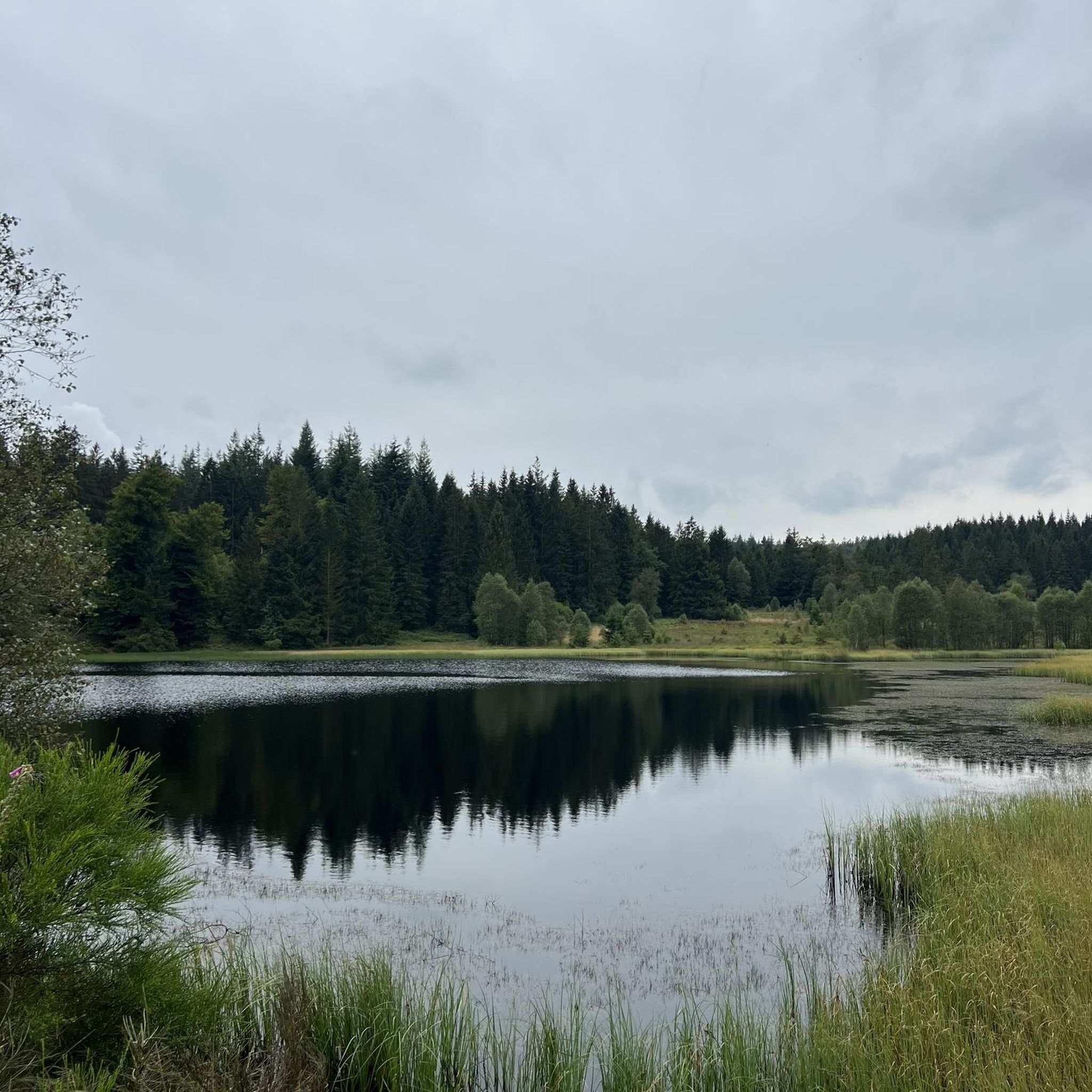
Jogging around Châteauneuf-De-Randon offers diverse terrain across the Margeride plateau, situated at an altitude of 1286 meters. The region features a network of trails through dense forests of Scots pines, past Lake Charpal, and around granite hills. Runners can explore varied landscapes, from the banks of Lake Charpal to the higher elevations of the surrounding area, including points like Truc de Fortunio.
Best jogging routes around Châteauneuf-De-Randon
- The most popular jogging route is Trail loop le Moure de la Gardille…
Last updated: June 29, 2026
8.30km
00:58
200m
200m
Moderate run. Good fitness required. Mostly paved surfaces. Suitable for all skill levels.
5.0
(1)
10
runners
12.8km
01:25
250m
240m
Moderate run. Good fitness required. Mostly paved surfaces. Suitable for all skill levels.

Sign up for free
5.0
(1)
6
runners
11.5km
01:18
160m
160m
Moderate run. Good fitness required. Mostly paved surfaces. Suitable for all skill levels.
2
runners
9.08km
01:02
190m
190m
Moderate run. Good fitness required. Mostly paved surfaces. Suitable for all skill levels.
4
runners
6.69km
00:43
110m
110m
Moderate run. Good fitness required. Mostly paved surfaces. Suitable for all skill levels.
Get access to more routes and recommendations from other explorers.
Sign up for free
Already have an account?
Our route recommendations are based on thousands of hikes, rides, and runs completed by other people on komoot.
Start today with a free account
Your next adventure awaits.
Login or Signup
Tips from the Community

Spectacular rocky chaos in the middle of the forest.
0
0
The Moure de la Gardille, which rises to 1,503m above sea level, is one of the peaks of the Margeride and therefore offers a magnificent panorama from Aubrac in the west to Vivarais in the northeast. Its orientation table facilitates the identification of the summits of its massifs.
0
0
The Moure de la Gardille, which peaks at 1,503 meters above sea level, is one of the peaks of the Margeride and therefore offers a magnificent panorama from Aubrac in the west to Vivarais in the northeast. Its orientation table makes it easier to identify the summits of its massifs.
3
0

The sunset is magnificent there.
0
0
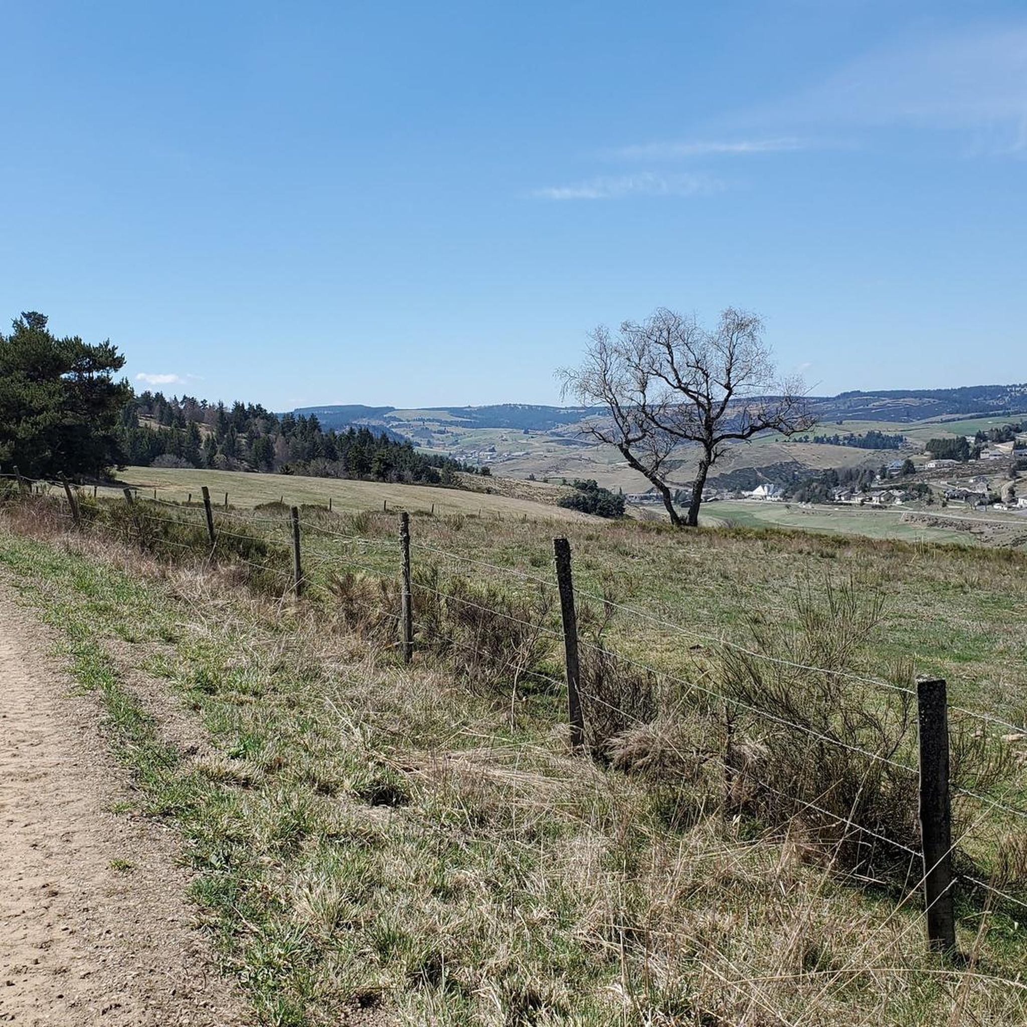
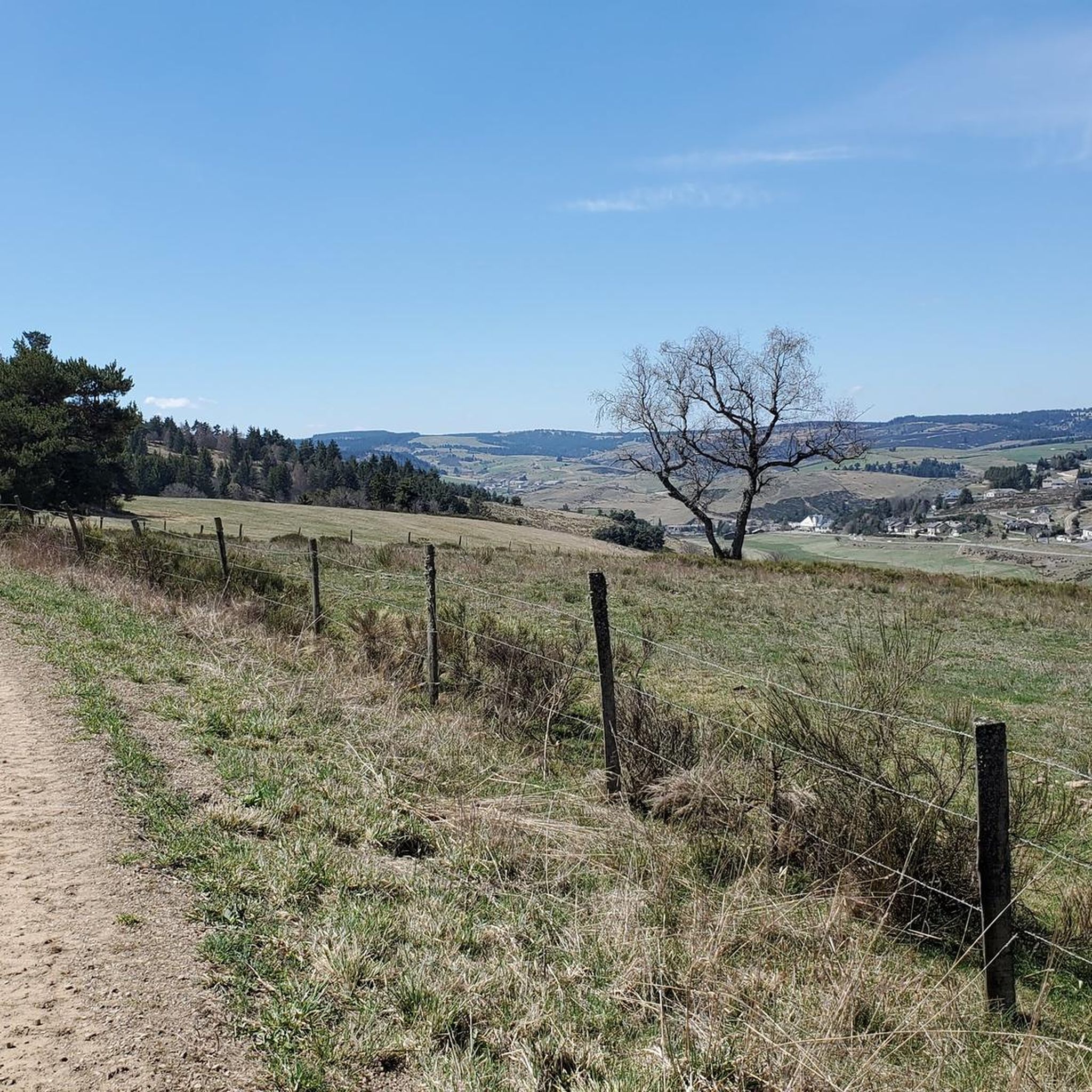
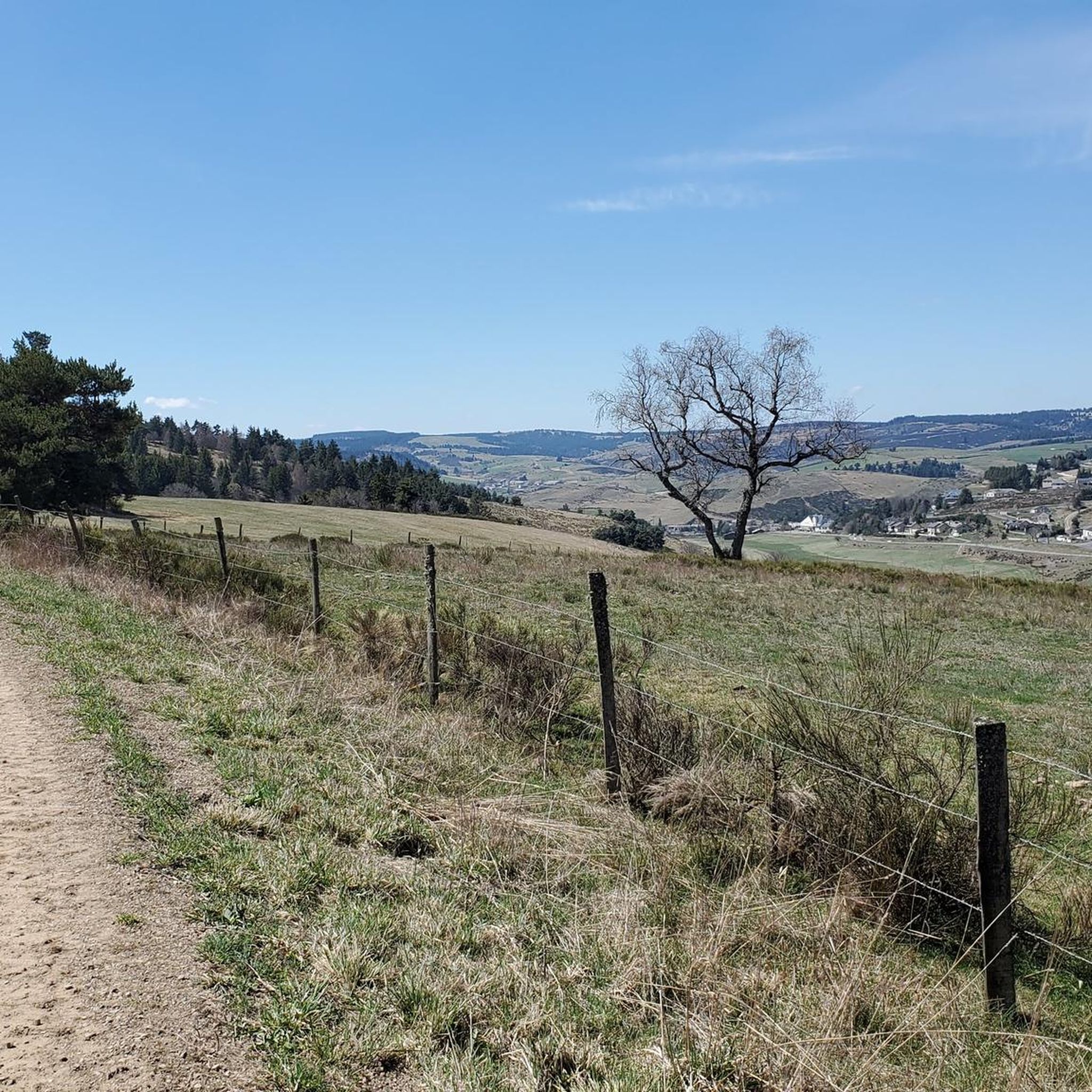
An extraordinary view of the Margeride.
0
0
A Cao of stones in the middle of an exceptional forest.
1
0
Frequently Asked Questions
How many running routes are available around Châteauneuf-De-Randon?
There are over 15 dedicated jogging routes in the Châteauneuf-De-Randon area, offering a variety of distances and elevations across the scenic Margeride plateau.
What is the typical terrain like for jogging in the Châteauneuf-De-Randon area?
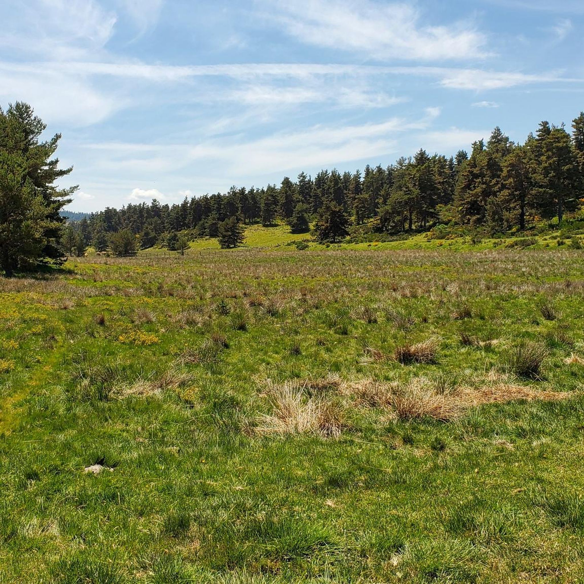
The terrain is quite diverse, ranging from paths around serene lakes like Lake Charpal to trails through dense forests of Scots pines, beeches, and oaks. You'll also encounter wild stretches of land, granite boulders, and meadows, with some routes leading to higher elevations offering panoramic views.
Are there routes suitable for different fitness levels?
Yes, the area offers a good mix. While most routes are classified as moderate, there is at least one more challenging trail for experienced runners. For example, the Trail loop le Moure de la Gardille et le Ron des Egos is a moderate 8.3 km route with a significant elevation gain, while other routes like the Cheylard-l'Évêque loop from Cheylard-l'Évêque offer a slightly less demanding experience.
What do other runners say about the trails in Châteauneuf-De-Randon?
The running routes in Châteauneuf-De-Randon are highly rated by the komoot community, with an average score of 4.0 stars from more than 4 reviews. Runners often praise the varied terrain, the natural beauty of the Margeride region, and the well-maintained paths that make for an enjoyable experience.
When is the best time of year to go jogging in Châteauneuf-De-Randon?
The region is beautiful throughout the warmer months. Spring and autumn offer pleasant temperatures and stunning natural colors, making them ideal for running. Summer is also great, especially for routes that pass through shaded forests or around lakes, providing a refreshing experience.
Can I find routes that pass by natural landmarks or attractions?
Absolutely. Many routes offer opportunities to see notable natural features. For instance, you can jog around the picturesque Lake Charpal, explore trails near the impressive granite formations of Ron de la Baoume, or even challenge yourself on paths leading towards the summit of Le Moure de la Gardille for magnificent panoramas.
Are there any circular running routes?
Yes, many of the running routes in the area are designed as loops, allowing you to start and finish in the same location. Examples include the Laubert. loop from Gourgons and the Running loop from Rocles, both offering varied terrain and scenic views.
Are the jogging trails in Châteauneuf-De-Randon suitable for families?
While specific family-friendly designations aren't always available, the region's extensive network of trails includes many paths with moderate difficulty and varied distances. Routes around Lake Charpal, for instance, offer a relatively flat 9 km path that can be enjoyable for families looking for a nature walk or a gentle jog.
Are the running trails in Châteauneuf-De-Randon dog-friendly?
Generally, the natural trails and forest paths in the Margeride region are welcoming to dogs, provided they are kept under control, especially in areas with livestock or wildlife. It's always recommended to check local signage for any specific restrictions, particularly around protected natural areas or private land.
Are there options for longer, more challenging trail runs?
For more ambitious runners, the region offers challenging routes with significant elevation gains, such as the Laubert. – Col de la Pierre Plantée loop from Laubert, which covers over 13 km with substantial climbing. Additionally, sections of the Grande Traversée du Massif Central (GTMC) pass through Lozère, providing opportunities for very long-distance trail running.
Are there any easy or beginner-friendly jogging routes?
While most routes are moderate, the 9 km path around Lake Charpal is relatively flat and well-suited for beginners or those looking for a relaxed run. The Cheylard-l'Évêque loop from Cheylard-l'Évêque is another good option, being one of the shorter moderate routes available.
Are there jogging routes with parking available?
Many trailheads and popular starting points for routes in the Châteauneuf-De-Randon area, especially those near villages or major attractions like Lake Charpal, typically have designated parking areas. It's advisable to check the specific route details on komoot for parking information before you go.
Most popular routes around Châteauneuf-De-Randon
Most popular attractions around Châteauneuf-De-Randon

Get inspired with the komoot mobile app


Explore more
Browse the best Running Trails & Routes in other regions.
