The best road cycling routes around Cubiérettes
4.5
(34)
351
riders
18
rides
Road cycling routes around Cubiérettes traverse a landscape characterized by significant elevation changes, including mountain passes and valleys. The region features varied terrain, from challenging climbs to more moderate paths, often winding through natural areas. Road cyclists can expect routes that offer sustained ascents and descents, typical of a mountainous environment.
Best road cycling routes around Cubiérettes
- The most popular road cycling route is Le Pont-de-Montvert – Finiels Pass loop from Le Pré du Moulin, a 68.6 miles (110.5…
Last updated: July 8, 2026
4.4
(5)
71
riders
59.1km
03:26
1,400m
1,400m
Hard road ride. Very good fitness required. Some segments of this route may be unpaved and difficult to ride.
4.5
(4)
60
riders
68.6km
03:40
1,370m
1,370m
Hard road ride. Very good fitness required. Mostly well-paved surfaces and easy to ride.

Sign up for free
4.0
(3)
27
riders
55.1km
02:57
940m
940m
Hard road ride. Very good fitness required. Mostly well-paved surfaces and easy to ride.
17
riders
68.4km
03:41
1,370m
1,380m
Hard road ride. Very good fitness required. Mostly well-paved surfaces and easy to ride.
5.0
(1)
19
riders
24.8km
01:33
720m
720m
Moderate road ride. Good fitness required. Mostly well-paved surfaces and easy to ride.
Get access to more routes and recommendations from other explorers.
Sign up for free
Already have an account?
Our route recommendations are based on thousands of hikes, rides, and runs completed by other people on komoot.
Start today with a free account
Your next adventure awaits.
Login or Signup
Tips from the Community

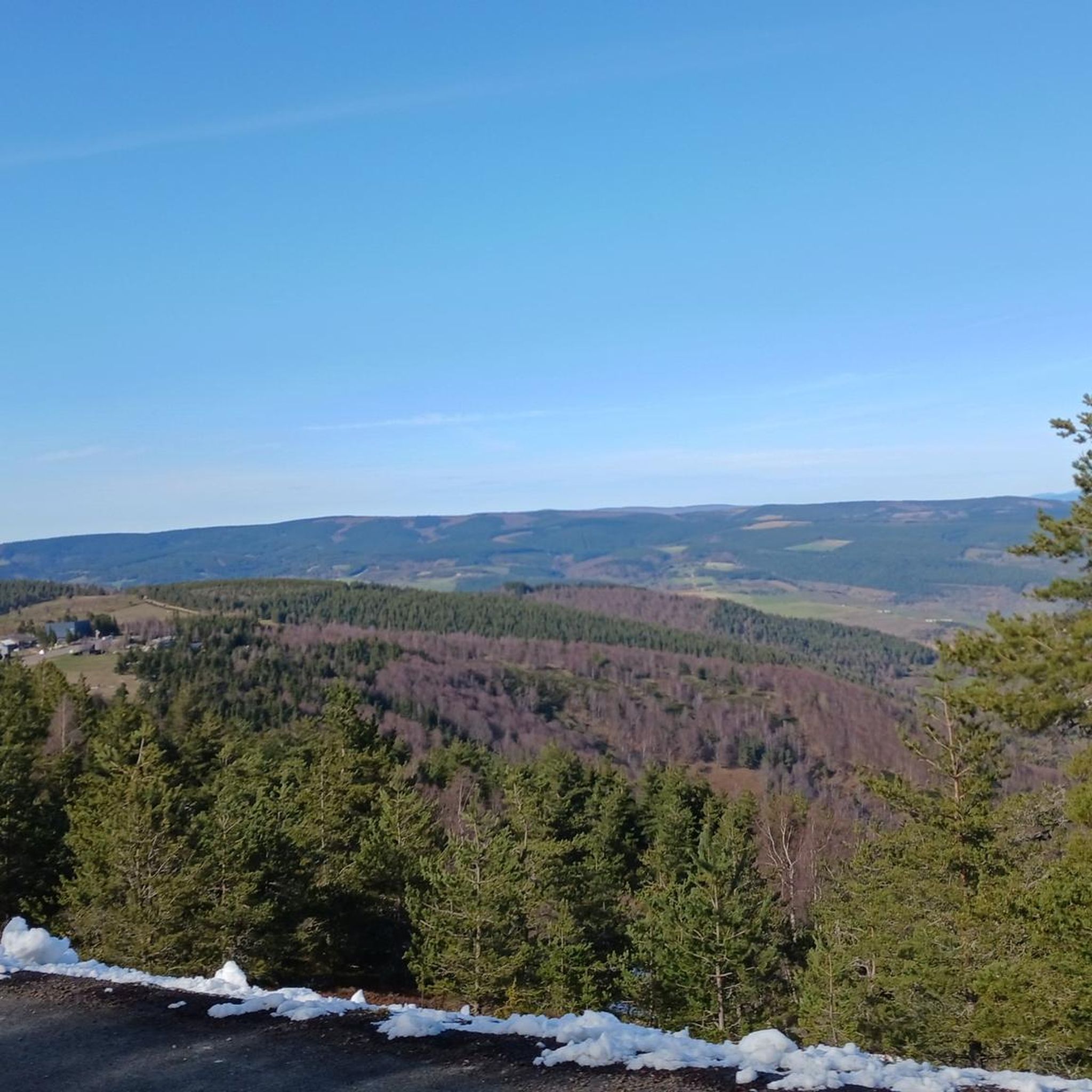
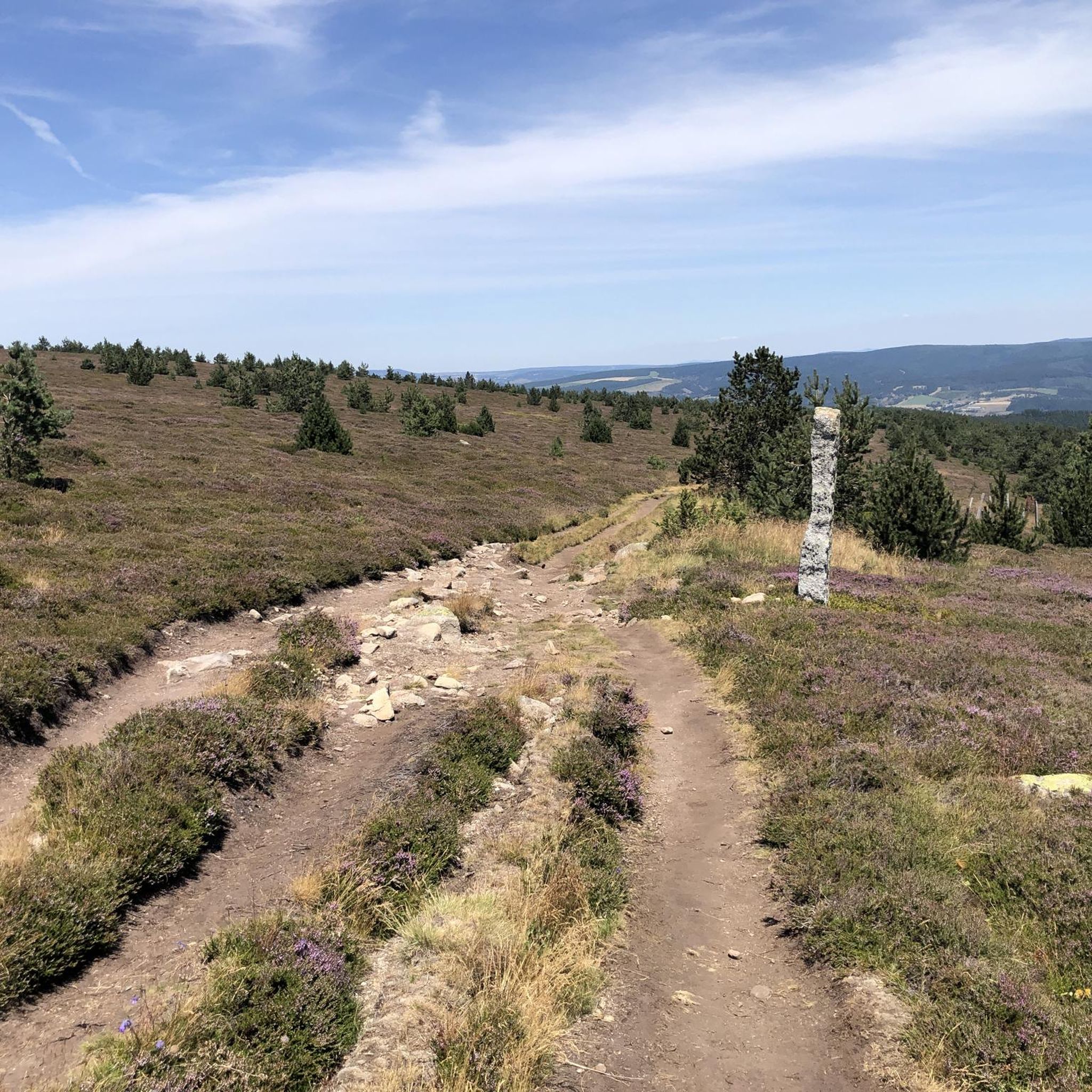
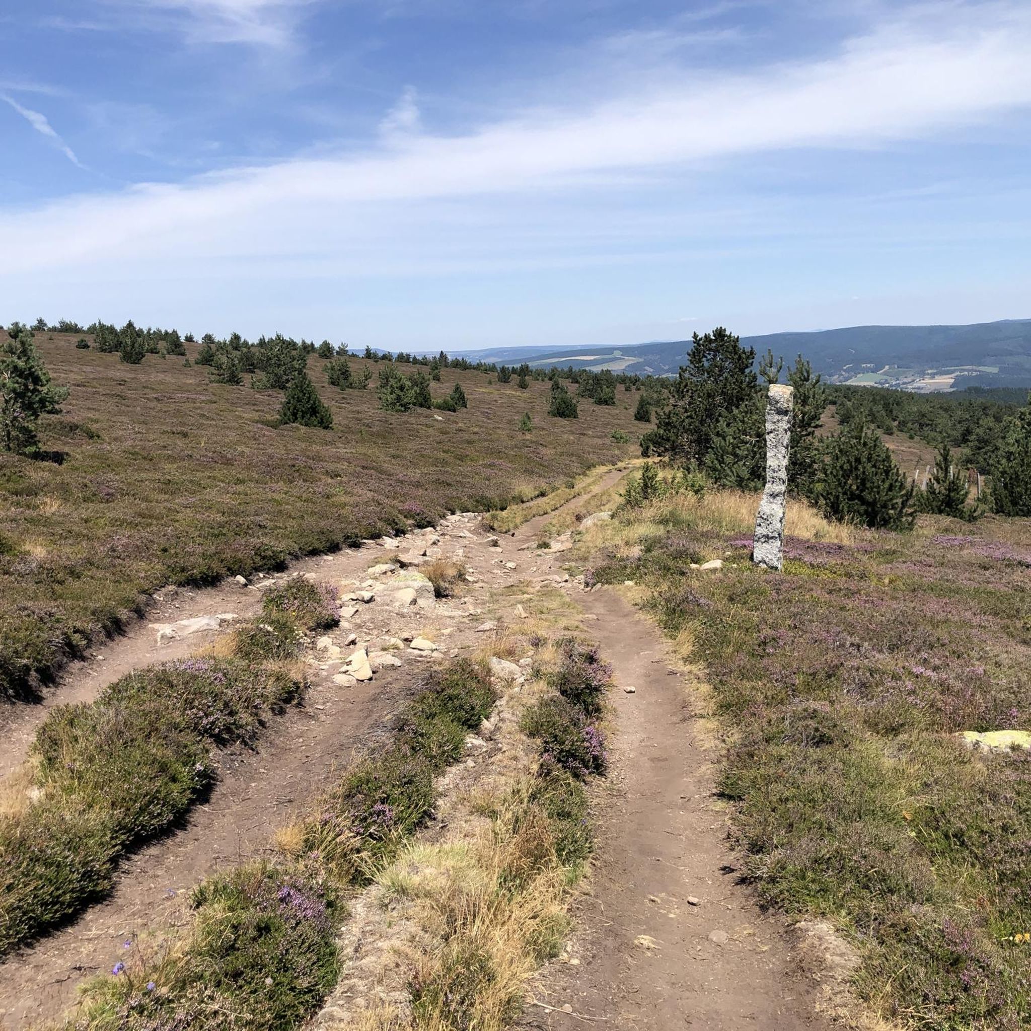
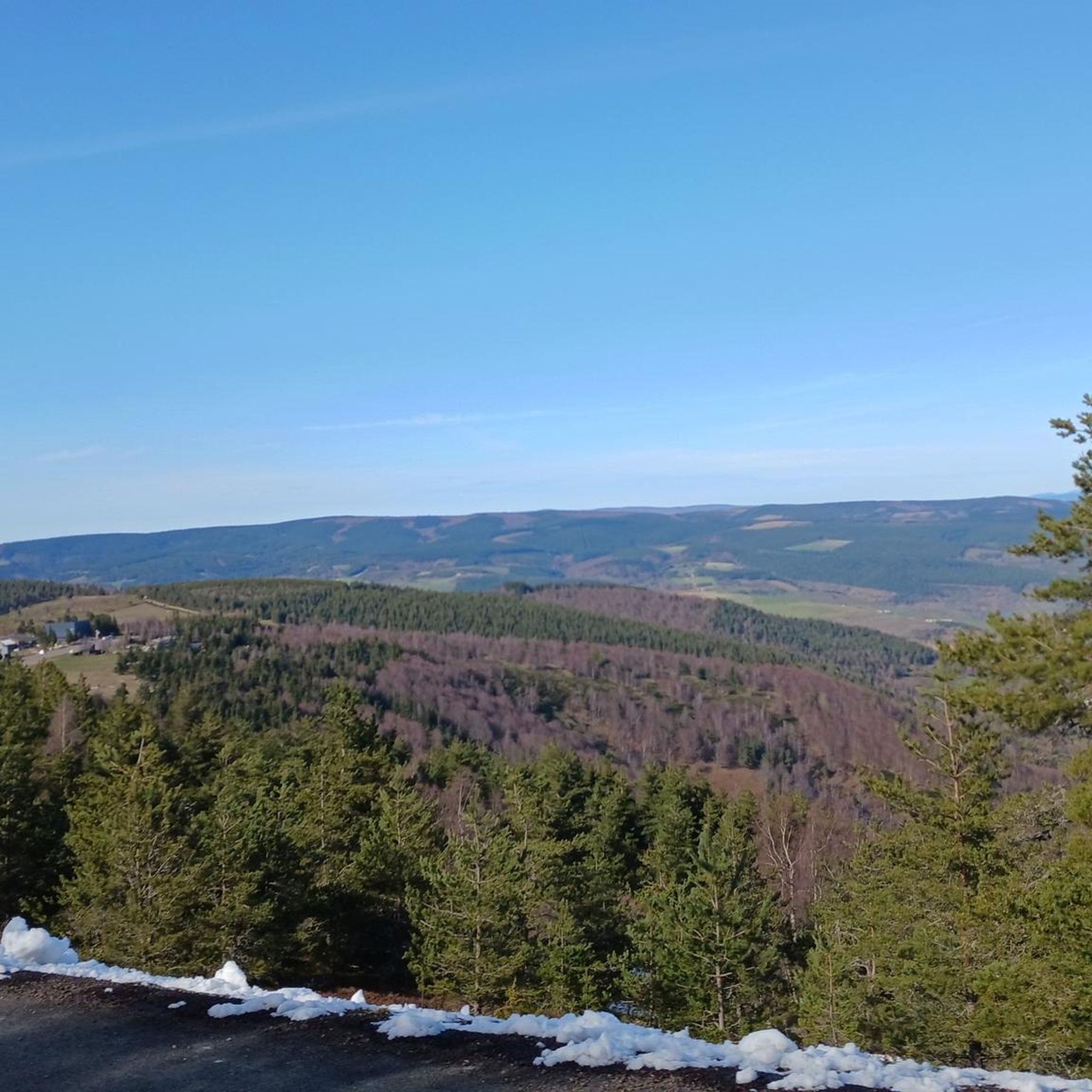
magnificent view. Moderate difficulty. Beware of high heat.
0
0

Here, the Lot is still a small stream, with its source 300 meters away. For me, this was the last bridge over the Lot. More information: https://de.wikipedia.org/wiki/Lot_%28Fluss%29?wprov=sfla1
2
0
beautiful little church at the entrance to the village
0
0
narrow but illuminated tunnel on the D901 below the castle ruins
0
0
Beautiful view of the castle ruins
0
0
A small town on the Lot River, but few options. Everything was closed when I drove through. Unfortunately, there were no water sources to be found anywhere.
0
0


A dreamlike mountain road - so beautiful and so quiet
0
0
Frequently Asked Questions
How many road cycling routes are available in Cubiérettes?
Cubiérettes offers a diverse network of 16 road cycling routes. These routes cater to various skill levels, including 1 easy, 7 moderate, and 8 difficult options, all traversing a landscape characterized by significant elevation changes and scenic views.
Are there challenging road cycling routes in Cubiérettes?
Yes, Cubiérettes is known for its challenging terrain. There are 8 difficult road cycling routes, featuring substantial elevation gain and mountain passes. An example is the Le Pont-de-Montvert – Finiels Pass loop from Le Pré du Moulin, which is 68.6 miles (110.5 km) long and includes the demanding Finiels Pass.
Are there any less strenuous road cycling routes suitable for beginners in Cubiérettes?
While the region is characterized by significant elevation changes, there is 1 easy road cycling route available. Additionally, 7 moderate routes offer a less intense experience than the most difficult climbs, providing options for riders seeking a more relaxed pace.
What kind of scenery can I expect on road cycling routes around Cubiérettes?
Road cycling routes around Cubiérettes offer diverse and scenic views. You can expect to traverse mountainous environments with sustained ascents and descents, often winding through natural areas. Routes like the Cubières – View of Château du Tournel loop from Cubières provide views of historic landmarks amidst varied terrain.
Are there any circular road cycling routes in Cubiérettes?
Yes, many of the road cycling routes in Cubiérettes are designed as loops, allowing you to start and finish at the same point. Examples include the Le Pont-de-Montvert – Finiels Pass loop from Le Pré du Moulin and the Mont Lozère – Finiels Pass loop from Finiels.
What are some notable landmarks or attractions along the road cycling routes?
The routes in Cubiérettes pass by several interesting landmarks. You might encounter the Finiels Summit, the historic settlement of Le Pont-de-Montvert, or the Tarn Bridge. The Cubières – View of Château du Tournel loop from Cubières specifically offers views of the Château du Tournel.
What do other road cyclists say about the routes in Cubiérettes?
The road cycling routes in Cubiérettes are highly regarded by the komoot community, holding an average rating of 4.4 stars from over 20 reviews. More than 200 road cyclists have explored the varied terrain, often praising the challenging climbs and scenic mountain passes.
Are there any long-distance road cycling routes available?
For those seeking longer rides, Cubiérettes offers several options. The Le Pont-de-Montvert – Finiels Pass loop from Le Pré du Moulin is a significant route, covering 68.6 miles (110.5 km) and featuring substantial elevation gain.
When is the best time of year to go road cycling in Cubiérettes?
Given the mountainous environment and significant elevation changes, the best time for road cycling in Cubiérettes is typically during the warmer months, from late spring through early autumn. This period generally offers more favorable weather conditions for tackling the region's climbs and descents.
Can I find routes that include specific mountain passes or climbs?
Yes, the road cycling in Cubiérettes is defined by its mountain passes and significant climbs. Routes frequently incorporate features like the Finiels Pass, as seen in the Le Pont-de-Montvert – Finiels Pass loop from Fraissinet-de-Lozère, offering cyclists the challenge of ascending these iconic features.
Are there routes that explore the Mont Lozère area?
Yes, you can find road cycling routes that take you through the Mont Lozère area. An example is the Mont Lozère – Finiels Pass loop from Finiels, which provides an opportunity to experience this distinctive part of the region.
Are GPX tracks available for the road cycling routes?
Yes, all road cycling routes on komoot, including those in Cubiérettes, come with downloadable GPX tracks. This allows you to easily navigate the routes using your GPS device or smartphone.
Most popular routes around Cubiérettes
Most popular attractions around Cubiérettes

Get inspired with the komoot mobile app


Explore more
Browse the best Road cycling routes in other regions.
