The best walks and hikes around Grosville
4.5
(869)
4,016
hikers
224
hikes
Hiking around Grosville offers diverse landscapes, primarily characterized by its coastal features, including headlands, beaches, and coves. The region provides a mix of paths ranging from easy strolls along the shore to more challenging routes traversing varied terrain. Many trails offer views of the English Channel and access to historical points of interest. The area's natural composition supports a network of paths suitable for different hiking preferences.
Best hiking trails around Grosville
- The most popular hiking route is Le Cap…
Last updated: July 5, 2026
4.6
(14)
43
hikers
23.0km
06:15
320m
320m
Hard hike. Very good fitness required. Easily-accessible paths. Suitable for all skill levels.
4.6
(14)
53
hikers
11.6km
03:06
140m
140m
Moderate hike. Good fitness required. Easily-accessible paths. Suitable for all skill levels.

Sign up for free
4.3
(3)
13
hikers
4.16km
01:08
60m
60m
Easy hike. Great for any fitness level. Easily-accessible paths. Suitable for all skill levels.
4.8
(4)
25
hikers
7.06km
01:58
130m
130m
Easy hike. Great for any fitness level. Easily-accessible paths. Suitable for all skill levels.
5.0
(1)
2
hikers
21.1km
05:44
300m
310m
Hard hike. Very good fitness required. Easily-accessible paths. Suitable for all skill levels.
Get access to more routes and recommendations from other explorers.
Sign up for free
Already have an account?
Our route recommendations are based on thousands of hikes, rides, and runs completed by other people on komoot.
Start today with a free account
Your next adventure awaits.
Login or Signup
Tips from the Community

The path through the forest (from the D4) is currently blocked by fallen trees. They cannot be bypassed either. Shame.
0
0


The website for the film documentary "Border Paths – The Customs Officers' Trail" states: "The historic Customs Officers' Trail, now one of France's most popular hiking trails, begins at the famous pilgrimage site of Mont St. Michel. Along its 1,700 kilometers, between Mont St. Michel in the north and St. Nazaire in the south of the Breton peninsula, visitors can discover impressive landscapes with a diverse range of flora and fauna. Passing rugged cliffs, vast dune landscapes, and seemingly endless beaches, hikers become border crossers on a floating border that shifts with the rhythm of the tides." The film about the "Sentier des Douaniers" (duration: 43 minutes / language: German) in the ARD media library can be found via the following link =>> https://www.ardmediathek.de/video/grenzwege-der-zoellnerpfad/grenzwege-der-zoellnerpfad/mdr/Y3JpZDovL21kci5kZS9zZW5kdW5nLzI4MjA0MC81MjE2OTktNTAxNzM2
0
0

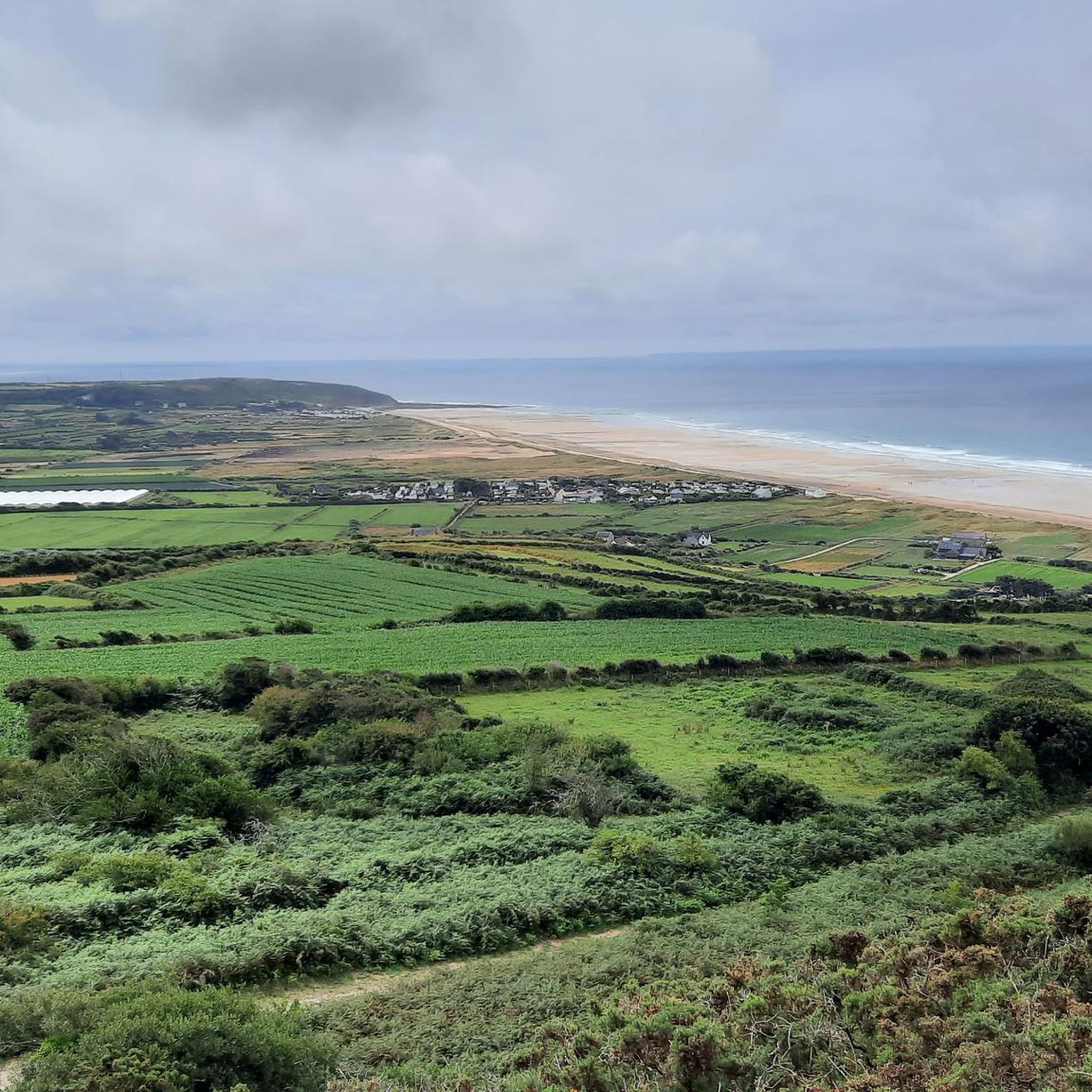
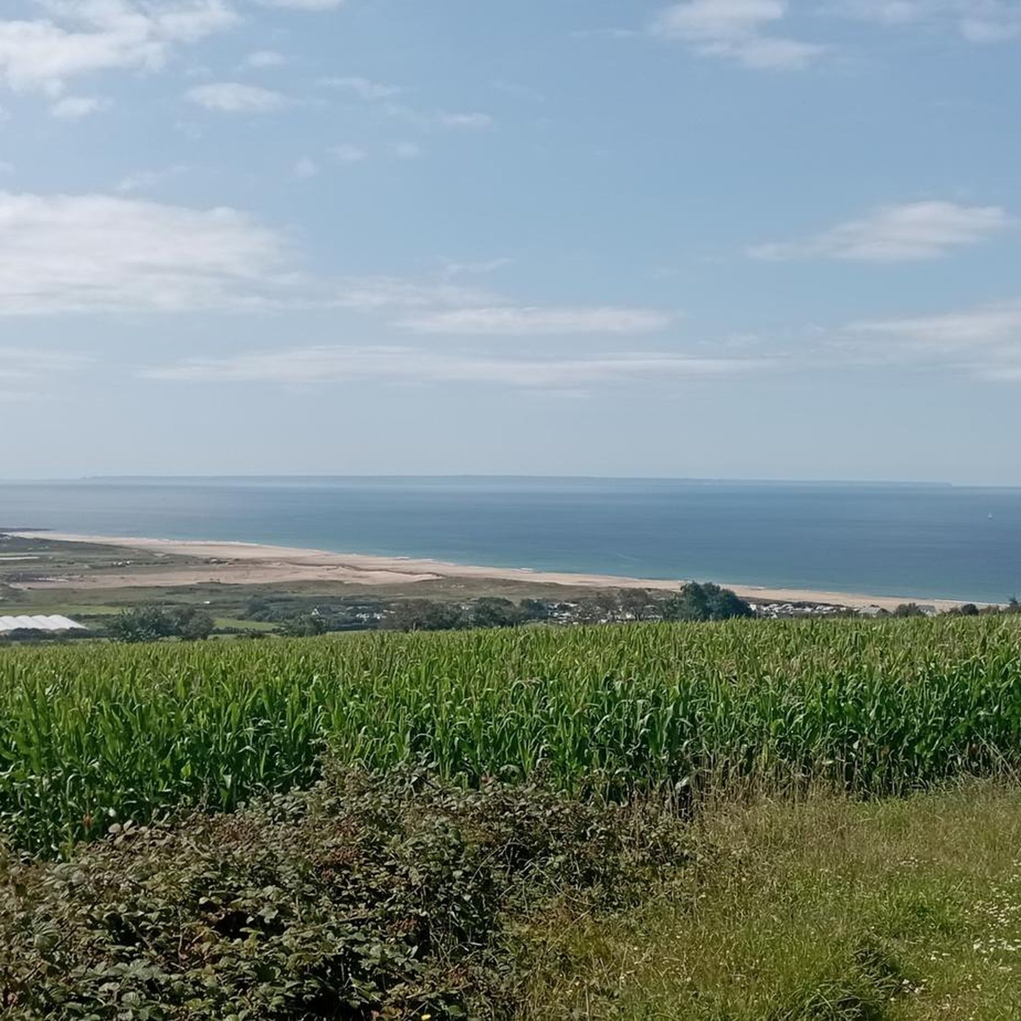
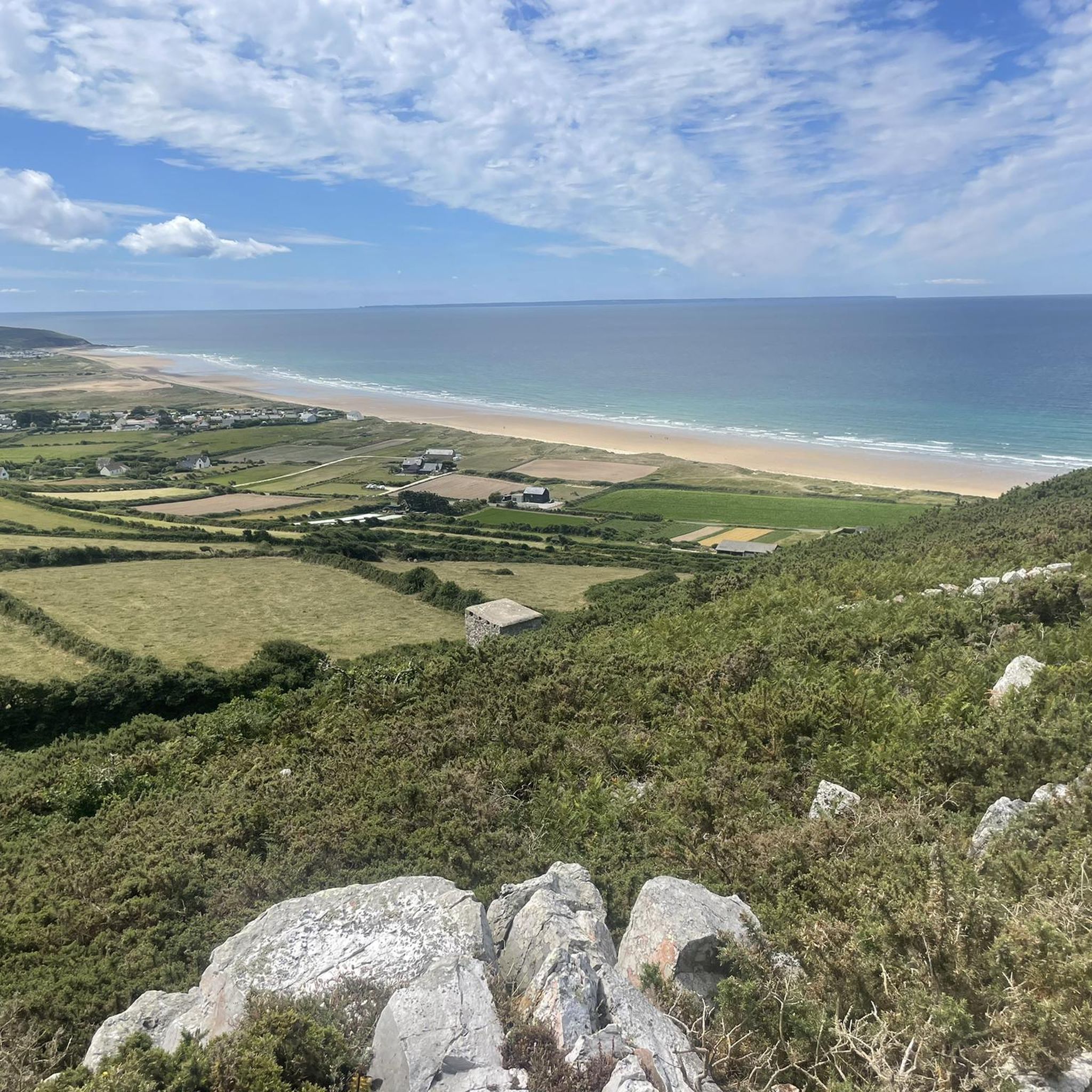
Very extensive stretch of beach at low tide.
0
0
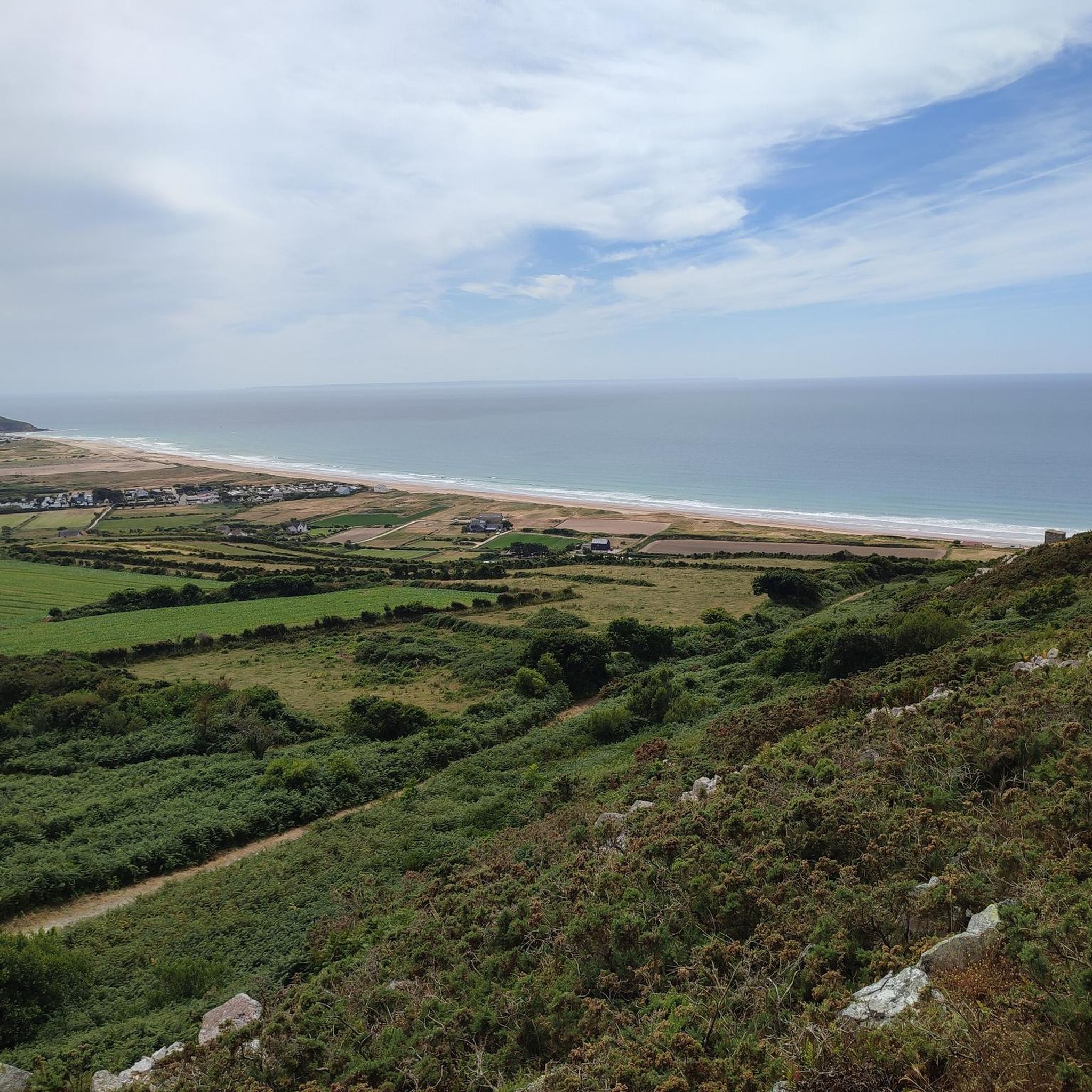
beautiful beach view from up here
0
0

We specifically waited until the tide went out.
0
0
Frequently Asked Questions
How many hiking trails are available around Grosville?
Grosville offers a wide variety of hiking experiences, with over 230 routes available. These range from easy coastal strolls to more challenging excursions across varied terrain.
Are there easy hiking options for beginners or casual walkers in Grosville?
Yes, Grosville has over 120 easy hiking routes. A good option for a shorter, less strenuous walk is the Trail along the But – Small river at the farm loop from Le Rozel, which is just over 4 km long and features gentle elevation changes.
What kind of challenging hikes can I find near Grosville?
For those seeking a challenge, Grosville offers 12 difficult routes. An example is Le Cap de Flamanville et l'Anse de Sciotot — loop from Les Pieux, a 23 km trail with extensive coastal views and varied terrain around the headland.
Are there any circular hiking routes in Grosville?
Many of the trails around Grosville are designed as loops, allowing you to start and end at the same point. For instance, the Château de Flamanville – Cap de Flamanville loop from Les Pieux offers a moderate 17.3 km circular path combining historical sites with scenic coastal views.
What are the best times of year to go hiking in Grosville?
Given its coastal nature, hiking in Grosville is generally pleasant from spring through early autumn (April to October), when the weather is milder and the coastal views are at their best. Winter hikes are possible, but conditions can be windy and wet, especially along exposed headlands.
Can I bring my dog on the hiking trails in Grosville?
Many coastal paths and rural trails in the Grosville area are dog-friendly, especially if your dog is well-behaved and kept on a leash. However, it's always advisable to check local signage for any specific restrictions, particularly in nature reserves or protected areas.
Are there family-friendly hiking trails in Grosville?
Yes, there are numerous family-friendly options, often shorter and with less elevation gain. Look for easy-rated trails, many of which offer accessible paths suitable for children. The coastal paths often provide engaging scenery for all ages.
Where can I find scenic viewpoints on hikes around Grosville?
The coastal trails around Grosville are rich with scenic viewpoints, offering expansive vistas of the English Channel and the rugged coastline. For a specific highlight, consider seeking out the View of Cap Rozel, which provides stunning panoramic views.
What kind of natural attractions or landmarks can I see while hiking in Grosville?
Hiking in Grosville allows you to discover various natural and historical landmarks. You might encounter features like The Big Rock, explore the Bois des Roches forest, or visit ancient sites such as the Dolmen, La Pierre au Rey or the Tripod.
Is there public transport access to the hiking trails in Grosville?
Public transport options to trailheads in rural areas like Grosville can be limited. It's recommended to check local bus schedules for specific villages or starting points near the trails you plan to hike. Many routes are accessible by car, with parking often available in nearby towns or designated areas.
What do other hikers enjoy most about the trails in Grosville?
The trails in Grosville are highly rated by the komoot community, with an average score of 4.5 stars from over 800 reviews. Hikers frequently praise the diverse coastal landscapes, the stunning views of the English Channel, and the mix of paths that cater to different ability levels.
Are there any hikes that combine historical sites with natural scenery?
Yes, several routes in the region offer a blend of history and nature. The Château de Flamanville – Cap de Flamanville loop from Les Pieux is a great example, allowing you to explore historical sites alongside scenic coastal headland scenery. You can also find other historical points of interest like the Château de Bricquebec nearby.
Are there any hikes that include beach sections?
Absolutely. Grosville's coastal character means many trails incorporate beautiful beach sections. The Le Rozel - Beach section – Trail along the But loop from Les Pieux is a popular choice that leads through coastal paths and directly along the beach.
Most popular routes around Grosville
Most popular attractions around Grosville

Get inspired with the komoot mobile app


Explore more
Browse the best Hikes in other regions.
