The best road cycling routes around Quinéville
4.1
(49)
1,152
riders
99
rides
Road cycling routes around Quinéville are characterized by the flat to gently rolling terrain of the Cotentin Peninsula, offering extensive coastal paths and views of the English Channel. The region features a mix of open agricultural land and historical sites, providing varied scenery for road cyclists. Elevation gains are generally low, making many routes accessible.
Best road cycling routes around Quinéville
- The most popular road cycling route is Crisbecq Batteries – Utah Beach loop from Montebourg, a 33.7 miles…
Last updated: July 5, 2026
4.7
(9)
177
riders
78.3km
03:13
540m
540m
Moderate road ride. Good fitness required. Mostly well-paved surfaces and easy to ride.
2.0
(1)
24
riders
Easy road ride. Great for any fitness level. Mostly well-paved surfaces and easy to ride.

Sign up for free
26
riders
Moderate road ride. Great for any fitness level. Some segments of this route may be unpaved and difficult to ride.
19
riders
66.8km
02:34
210m
210m
Moderate road ride. Good fitness required. Mostly well-paved surfaces and easy to ride.
12
riders
28.5km
01:09
160m
160m
Easy road ride. Great for any fitness level. Mostly well-paved surfaces and easy to ride.
Get access to more routes and recommendations from other explorers.
Sign up for free
Already have an account?
Our route recommendations are based on thousands of hikes, rides, and runs completed by other people on komoot.
Start today with a free account
Your next adventure awaits.
Login or Signup




Tips from the Community

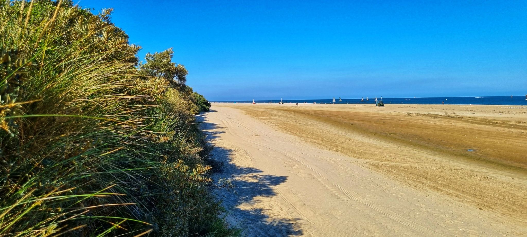
Utah Beach is the code name given by the Allies to one of the five beaches of the Normandy landings on June 6, 1944 (D-Day) during World War II. It represented the westernmost attack sector of the entire Operation Overlord and was located on the Cotentin Peninsula, between the towns of Pouppeville and Saint-Martin-de-Varreville. Today, the site presents itself as a quiet sandy beach at the gates of Sainte-Marie-du-Mont, rich in historical monuments and memory trails.
0
0

Utah Beach was the first of the five D-Day landing beaches to be recaptured by the Allies. It was chosen to retake Cherbourg and its deep-water port. Several memorials along the beach allow visitors to rediscover the history of the landings.
1
0

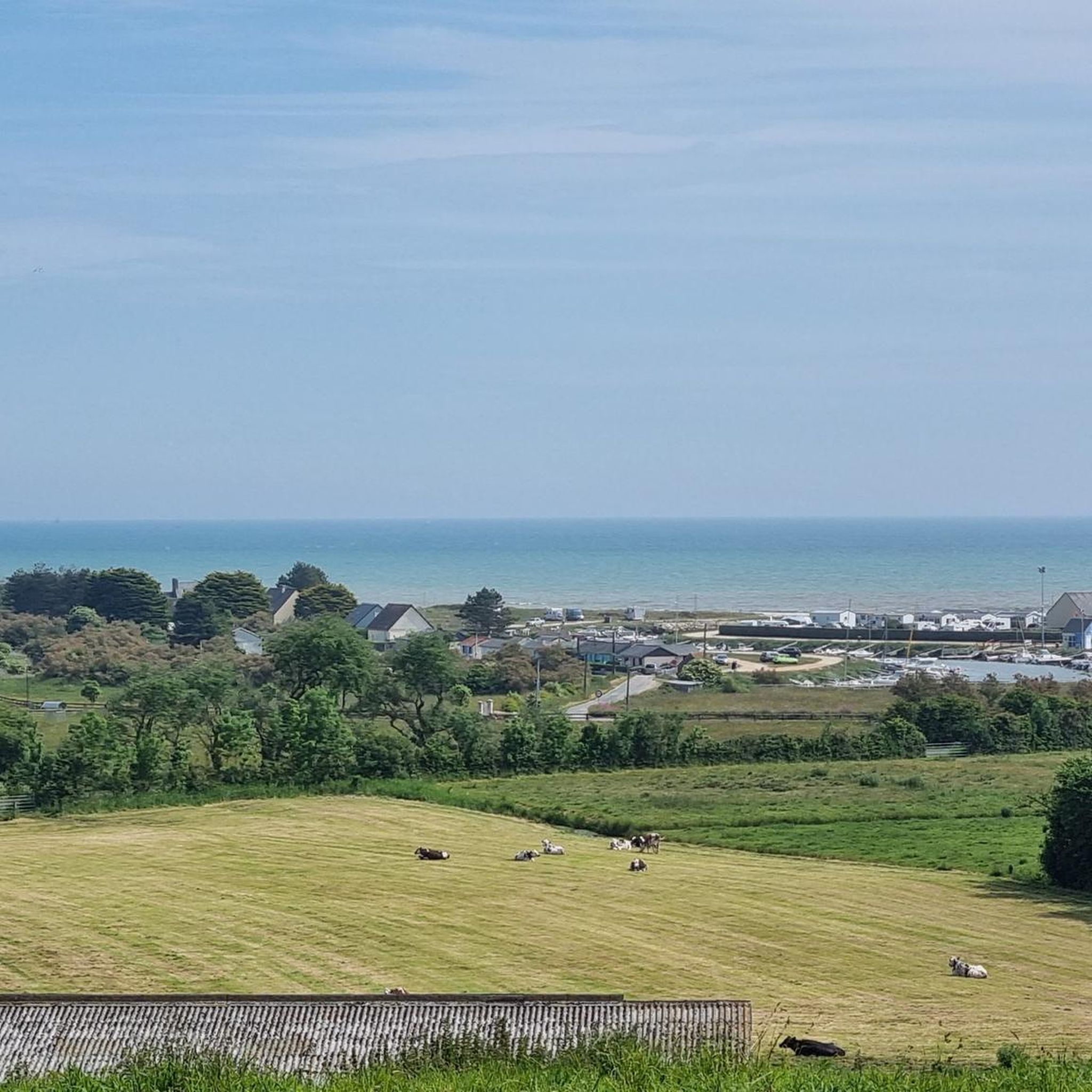
Excellent lunch spot; good service and very friendly
0
0

The original lighthouse was built in 1775 to protect the dangerous waters around Pointe de Barfleur, which were known for numerous shipping disasters, including the sinking of the "White Ship" in 1120. Since the first tower did not meet the requirements of the 1825 national coastal lighting program, construction began on a new, larger tower in 1829. Completed in 1835 under the direction of architect Charles-Félix Morice de la Rue, it replaced the old tower, which was then used as an optical telegraph. The new tower is made of approximately 11,000 granite blocks and has 365 steps—symbolizing the days of a year. It also has 52 windows (representing the weeks) and 12 floors (representing the months).
6
0
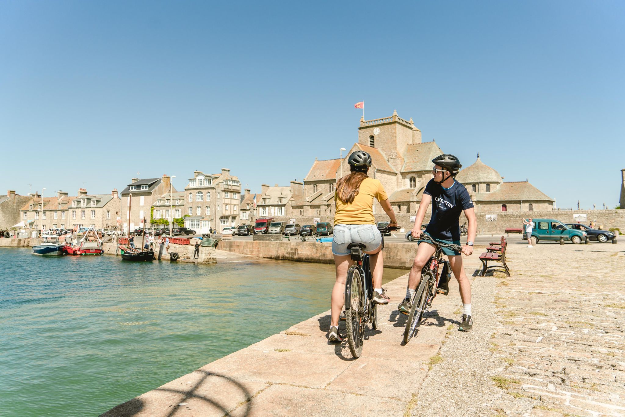
The old granite harbor is the heart of Barfleur and is still used by small fishing boats.
6
0
A beautiful little fishing village that is worth a visit.
6
0
A beautiful, expansive beach steeped in history.
3
1
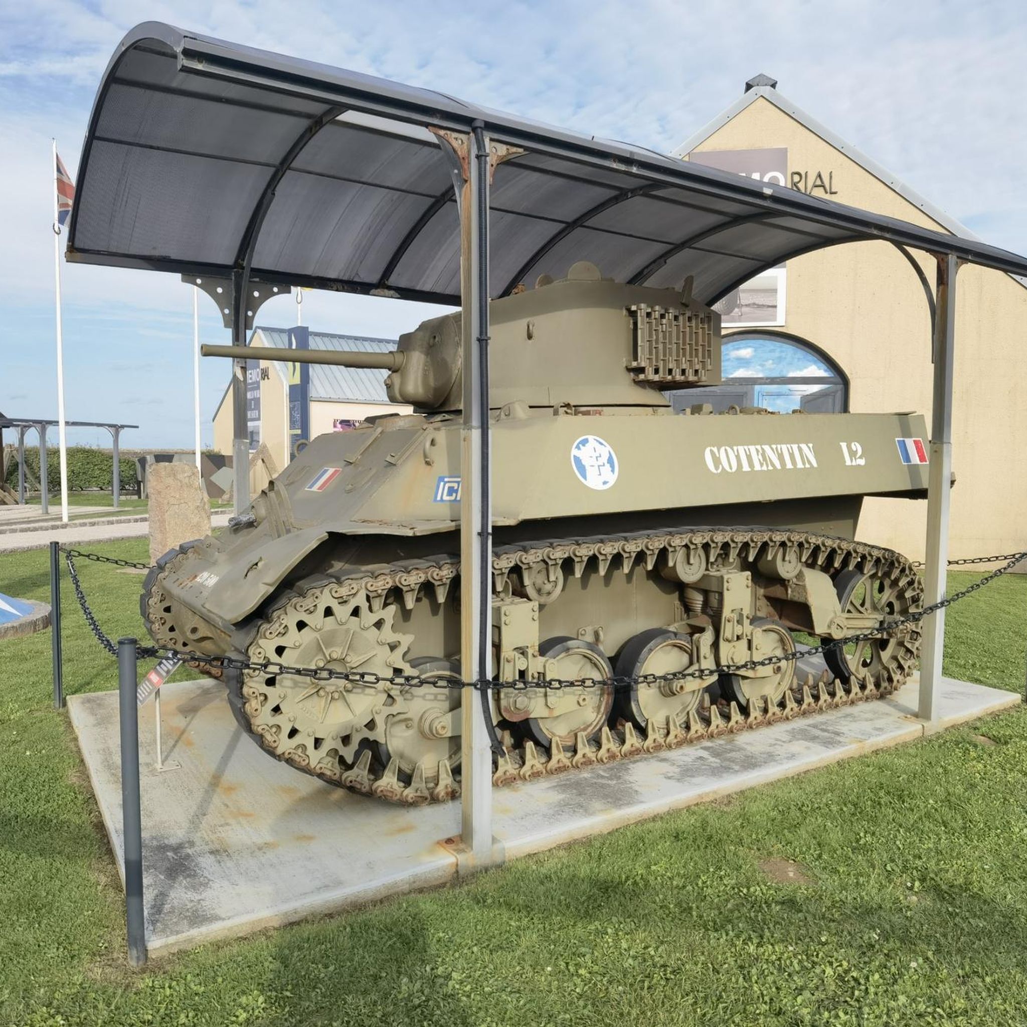
Memorials that remind you again and again "NEVER AGAIN WAR" that is something the warmongers from 🇩🇪 and the 🇪🇺 should especially make their motto.
3
0
Frequently Asked Questions
How many road cycling routes are available around Quinéville?
There are nearly 100 road cycling routes around Quinéville, offering a wide variety of options for different skill levels and preferences.
What kind of terrain can I expect on road cycling routes in Quinéville?
The region features flat to gently rolling terrain across the Cotentin Peninsula. You'll find extensive coastal paths with views of the English Channel, as well as routes through open agricultural land and past historical sites. Elevation gains are generally low, making many routes accessible.
Are there easy road cycling routes suitable for beginners or families in Quinéville?
Yes, Quinéville offers a good selection of easy road cycling routes. There are 34 routes specifically rated as easy. An example is the Port on the Sinope – Saint-Vaast-la-Hougue Harbor loop from Le Grand Hameau des Dunes, which is 41.5 km long with minimal elevation gain.
Are there any challenging road cycling routes or climbs in the Quinéville area?
While the terrain is generally flat to gently rolling, there are a few routes that offer a bit more challenge. The region has 4 routes rated as difficult, which may include slightly longer distances or more varied ascents compared to the easier coastal paths.
What are some scenic viewpoints or landmarks I can see along the road cycling routes?
Many routes offer scenic views of the English Channel and pass by historical landmarks. You can cycle past sites like the 2nd Armored Division Monument, the Crisbecq Battery (Saint-Marcouf), or the Fort of La Hougue. The Barfleur Harbour – Gatteville Lighthouse loop from Quinéville specifically offers views of Barfleur Harbour and the Gatteville Lighthouse.
What is the best time of year for road cycling in Quinéville?
Given its coastal location, the spring and summer months (May to September) generally offer the most favorable weather for road cycling in Quinéville, with milder temperatures and less chance of rain. However, the flat terrain makes it enjoyable for cycling throughout much of the year.
Are the road cycling routes around Quinéville typically loop routes?
Yes, many of the road cycling routes in Quinéville are designed as loops, allowing you to start and finish at the same point. Examples include the Crisbecq Batteries – Utah Beach loop from Montebourg and the Port on the Sinope – Crisbecq Batteries loop from Quinéville.
How long do road cycling routes in Quinéville usually take to complete?
Route durations vary depending on distance and your cycling speed. For instance, the Crisbecq Batteries – Utah Beach loop from Montebourg, which is 54.3 km, typically takes around 2 hours and 13 minutes. Shorter routes, like the 28.9 km 2nd Armored Division Monument – Quinéville Beach loop from Quinéville, can be completed in about 1 hour and 6 minutes.
What do other road cyclists think about the routes in Quinéville?
The road cycling routes in Quinéville are highly rated by the komoot community, with an average score of 4.4 stars from over 50 reviews. More than 1,100 road cyclists have explored the area using komoot, often praising the varied scenery, coastal paths, and historical points of interest.
Are there historical sites or attractions to explore near the road cycling routes?
Absolutely. The region is rich in history, particularly related to WWII. You can find attractions such as the Azzeville Battery and the Ravenoville Beach and Redoubt. The Quinéville Castle and the Vauban Tower and the La Hougue Semaphore also offer interesting stops.
Where can I find parking for road cycling trails in Quinéville?
While specific parking locations for each trail are not detailed, Quinéville and surrounding towns typically offer public parking areas. It's advisable to check local signage or use navigation apps to find convenient parking near your chosen route's starting point.
Most popular routes around Quinéville
Most popular attractions around Quinéville

Get inspired with the komoot mobile app


Explore more
Browse the best Road cycling routes in other regions.
