The best walks and hikes around Aumühle
4.6
(1534)
5,872
hikers
148
hikes
Hiking around Aumühle offers access to diverse natural landscapes within Schleswig-Holstein, Germany. The region is characterized by the extensive Sachsenwald, the largest forest in the state, providing a backdrop for numerous hiking trails. Water features such as the historic Aumühle Mill Pond, fed by the Schwarze Au river, and the Bille River within the Billetal Nature Reserve, contribute to varied terrain. Elevations are generally gentle, with routes navigating through forested areas and along riverbanks.
Best hiking trails around Aumühle
- The…
Last updated: October 13, 2026
4.7
(62)
175
hikers
6.01km
01:33
40m
40m
Easy hike. Great for any fitness level. Easily-accessible paths. Suitable for all skill levels.
4.7
(65)
208
hikers
21.9km
05:40
120m
120m
Hard hike. Very good fitness required. Easily-accessible paths. Suitable for all skill levels.

4.7
(58)
164
hikers
16.2km
04:13
110m
110m
Moderate hike. Good fitness required. Easily-accessible paths. Suitable for all skill levels.
4.6
(45)
146
hikers
Moderate hike. Good fitness required. Easily-accessible paths. Suitable for all skill levels.
4.4
(32)
96
hikers
Easy hike. Great for any fitness level. Easily-accessible paths. Suitable for all skill levels.
Get access to more routes and recommendations from other explorers.
Already have an account?
Our route recommendations are based on thousands of hikes, rides, and runs completed by other people on komoot.
Start today with a free account
Your next adventure awaits.
Tips from the Community

Since 1987, the Billetal has been protected. The 176-hectare area along the river is also part of the European ecological network "Natura 2000", which aims to protect endangered native wild plant and animal species and their natural habitats across countries.
11
0
The Wohltorfer Kirchenstieg originated around 1312, when Wentorf, Wohltorf, Börnsen and Escheburg became monastery villages of the Reinbek Monastery, but the original connection of the places to the church in Bergedorf remained. The faithful used the path to get to their church. However, the bridge still visible today probably does not date from that time, but very likely from the redesign of the park at the manor house of Georges Fester by Rudolph Jürgens in 1914. Jürgens laid out new paths on the property, including some that led down to the Bille and inevitably crossed the old Kirchenstieg.
9
2

The group of deer is a beautiful photo motif
3
0
Open to the public on weekends for a fee
3
0

To the left and right of the path it is partly better, for me still a nice trail ... at least for the MTB 😉
0
0

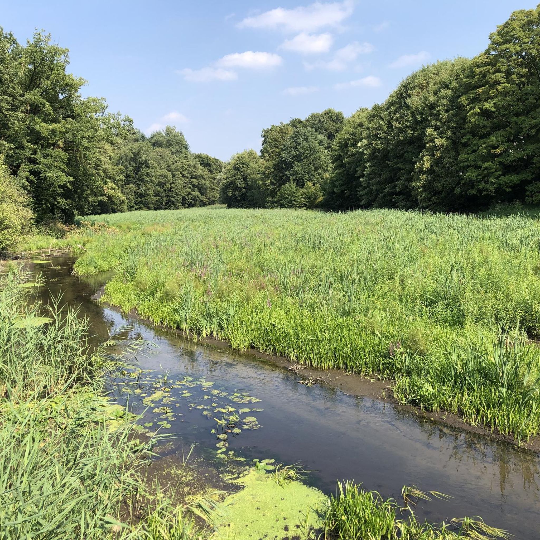
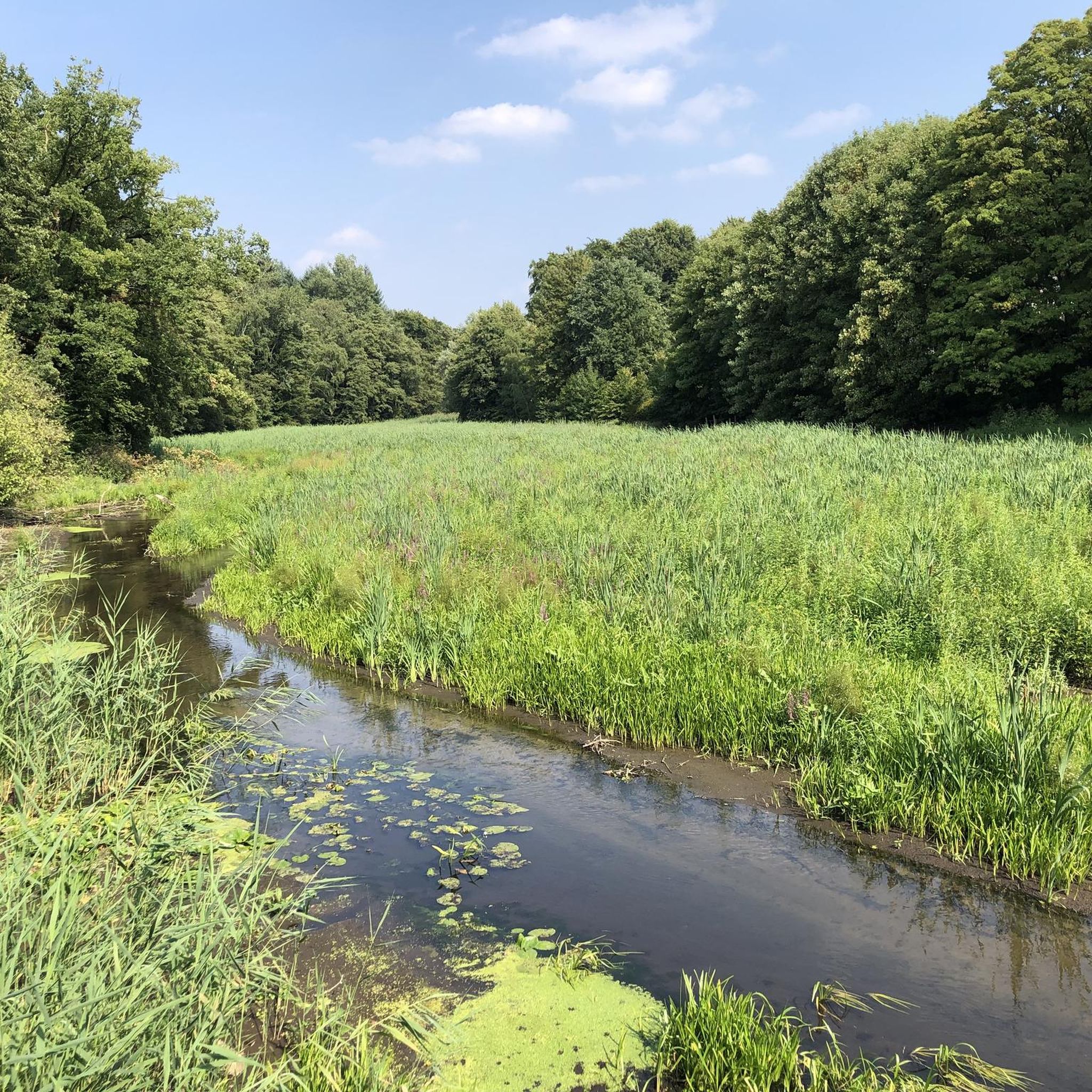
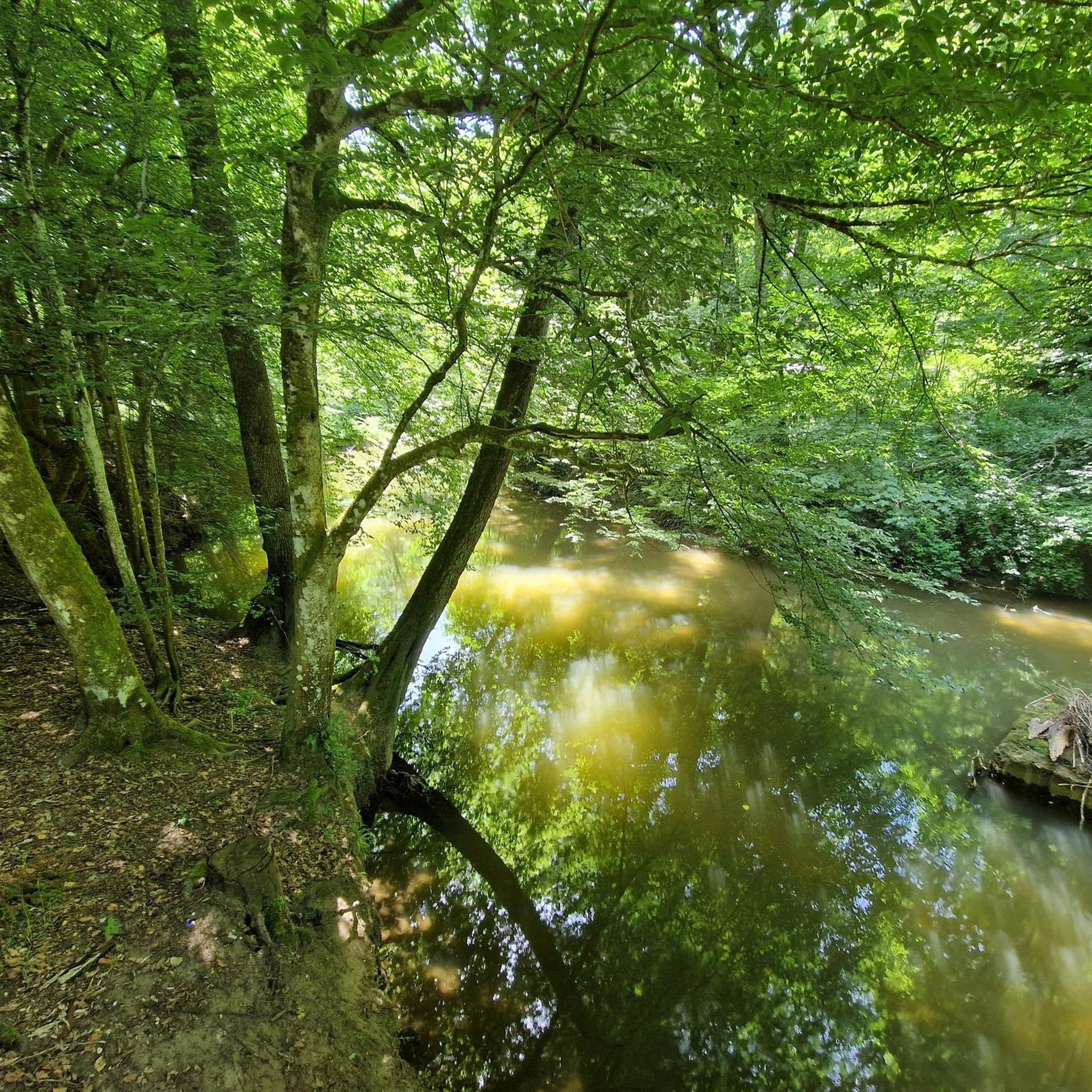
The Billetal nature reserve is located on the western edge of the Sachsenwald forest. Numerous, truly idyllic hiking trails meander along the river, which is cool even in summer. The Bille provides a habitat for brown trout and grayling. Surrounded by alluvial forests, wet meadows and tall herbaceous meadows, the area is home to numerous plant and animal species. The old beech forests along the valley slopes are particularly beautiful.
1
1

Here is pure nature, beautiful!
0
0
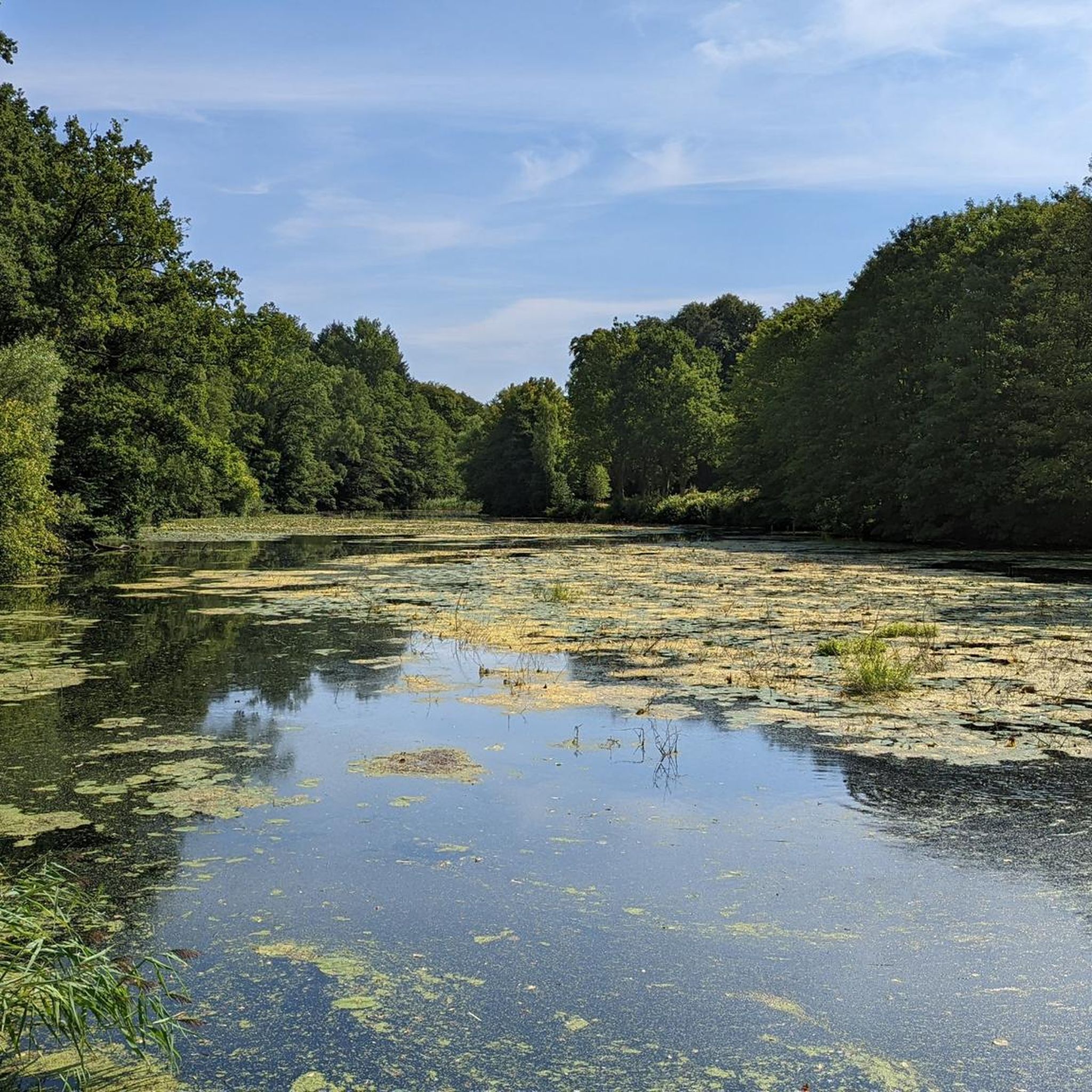
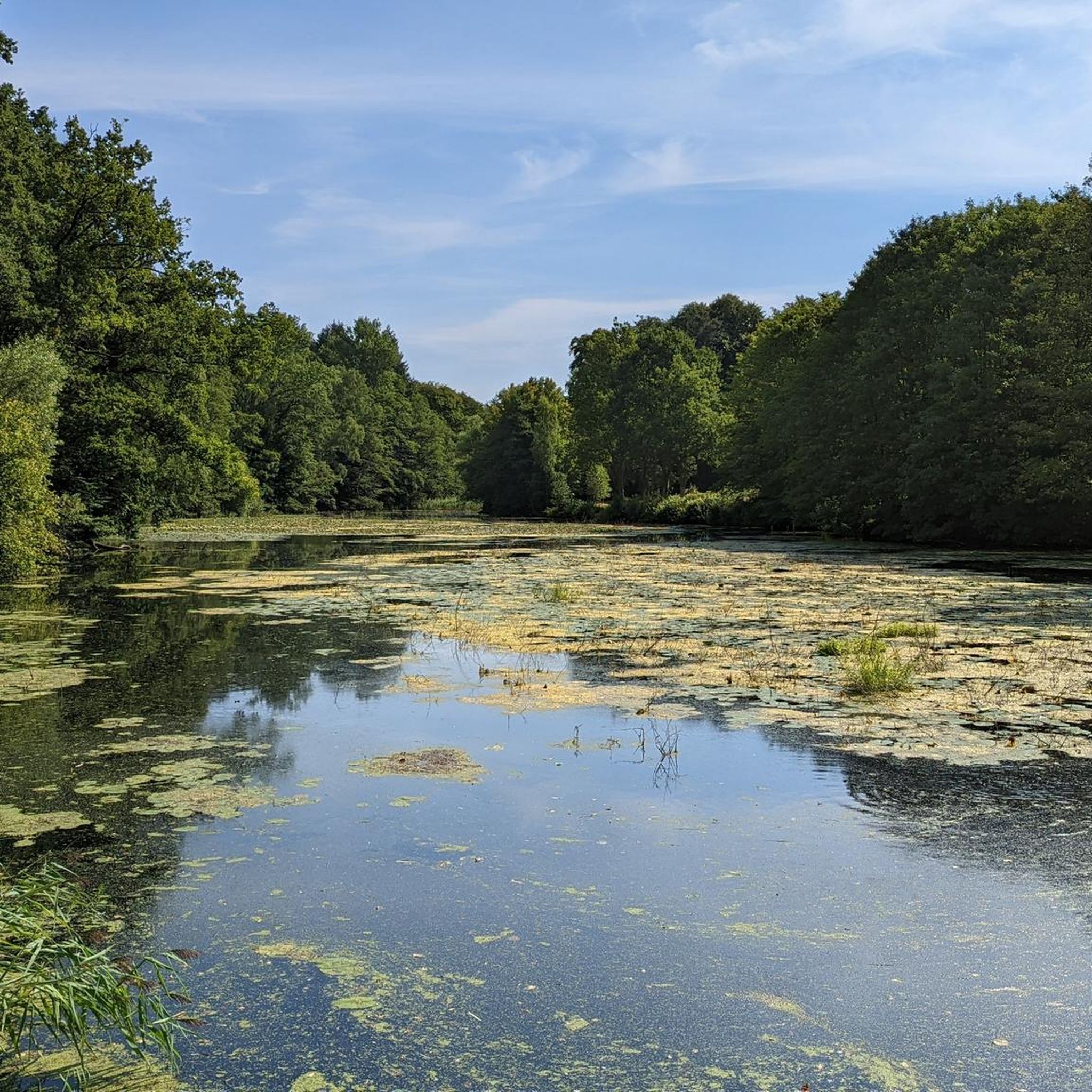
A very nice view over the water!
0
0
Frequently Asked Questions
How many hiking trails are available around Aumühle?
There are over 150 hiking trails around Aumühle, offering a wide variety of experiences. These routes navigate through the extensive Sachsenwald forest, along the tranquil Aumühle Mill Pond, and beside the Bille and Schwarze Au rivers.
What types of terrain can I expect on hikes in Aumühle?
Hikes around Aumühle feature diverse terrain, from the dense woodlands of the Sachsenwald to the serene banks of the Aumühle Mill Pond and the Bille River within the Billetal Nature Reserve. Elevations are generally gentle, making the area accessible for various fitness levels.
Are there hiking routes suitable for families with children?
Yes, Aumühle offers many family-friendly hiking options. The area has over 75 easy trails, with the Trails Along the Schwarze Au – Aumühle Mill Pond loop from Aumühle being a popular choice for its generally flat and accessible terrain around the historic mill pond.
What natural landmarks or viewpoints can I discover on hikes near Aumühle?
The region is rich in natural features. You can explore the unique dune landscape of the Boberger Dunes, walk along the Elbe River, or visit the tranquil Aumühle Mill Pond. For specific viewpoints, consider routes that pass by Theodor-Wulff Hill or Doctor Hill.
Are there any circular hiking routes in Aumühle?
Many of the hiking trails around Aumühle are designed as circular routes, allowing you to start and end at the same point. Examples include the Aumühle Mill Pond – Billetal Nature Reserve loop from Aumühle and the Friedrichsruh Forest House – Beech and Larch Avenue loop from Aumühle.
What is the best time of year to go hiking in Aumühle?
While hiking is enjoyable year-round, autumn is particularly recommended for its vibrant fall colors in the Sachsenwald. For water-based activities or warmer weather hikes, the period from May to September is ideal.
What do other hikers enjoy most about hiking in Aumühle?
The hiking trails around Aumühle are highly rated by the komoot community, with an average score of 4.6 stars from over 1,300 reviews. Hikers often praise the diverse landscapes, from the peaceful forest paths to the scenic riverbanks, and the well-maintained routes suitable for various abilities.
Are dogs allowed on the hiking trails around Aumühle?
Generally, dogs are welcome on hiking trails in the Aumühle area, especially within the Sachsenwald and along river paths. However, it's always advisable to keep them on a leash, particularly in nature reserves like the Billetal Nature Reserve, to protect local wildlife and ensure a pleasant experience for all visitors.
How accessible is Aumühle by public transport for hikers?
Aumühle is well-connected by public transport, making it an attractive destination for day trips from Hamburg. This accessibility allows hikers to reach trailheads easily without needing a car.
Are there any gorges or unique geological features to explore?
Yes, the area features several interesting gorges. The Dalbek Gorge is a notable example, with highlights such as the Dalbek Gorge Wooden Bridges and the Dalbekschlucht Nature Reserve Trails, offering a more rugged hiking experience.
Can I find challenging hikes in Aumühle?
While many trails are easy to moderate, Aumühle also offers options for more challenging hikes. There are 15 difficult routes available, often featuring longer distances or slightly more varied elevation changes within the forested areas.
Most popular routes around Aumühle
Most popular attractions around Aumühle

Get inspired with the komoot mobile app


Explore more
Browse the best Hikes in other regions.
