The best walks and hikes around Rieutort-De-Randon
4.6
(114)
1,033
hikers
31
hikes
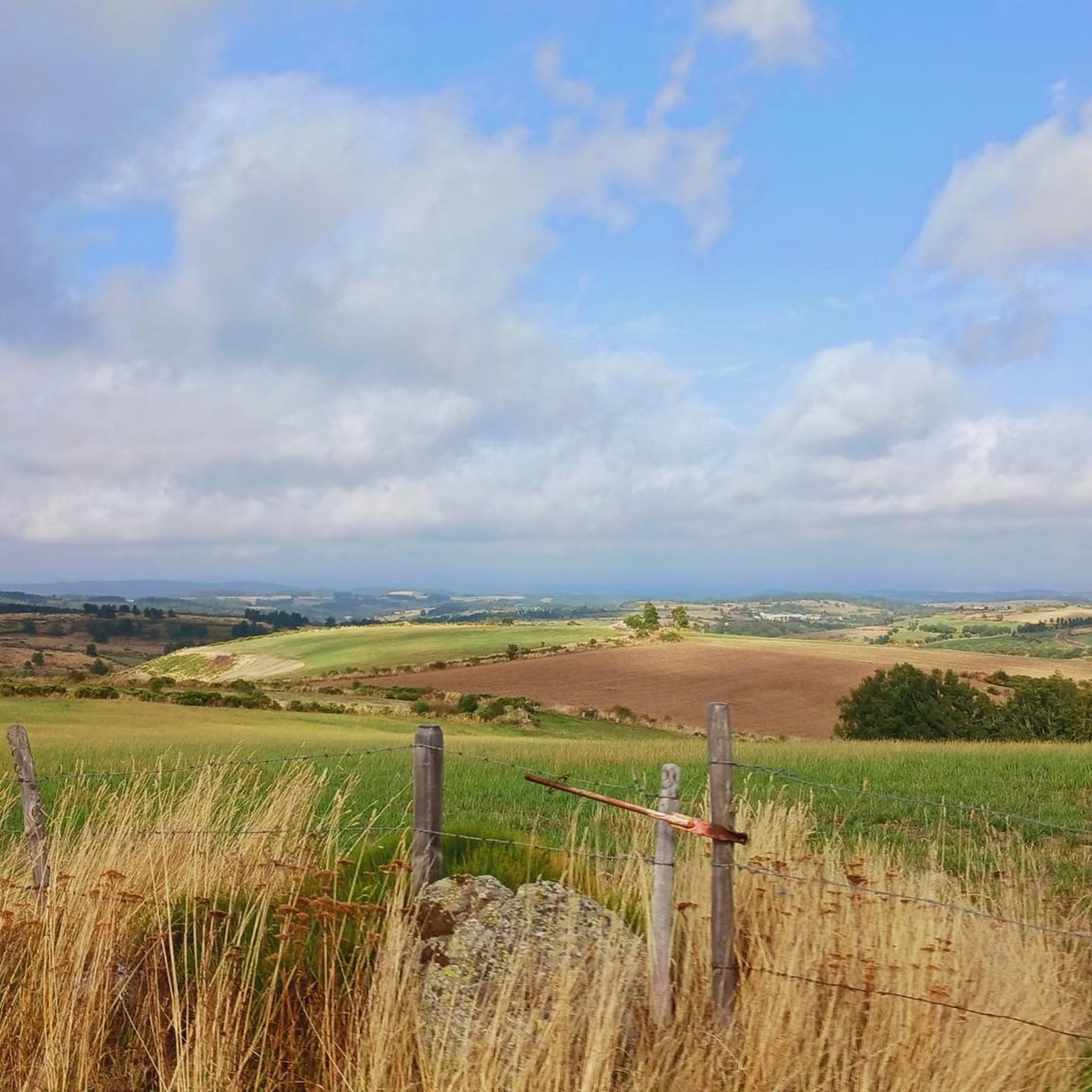
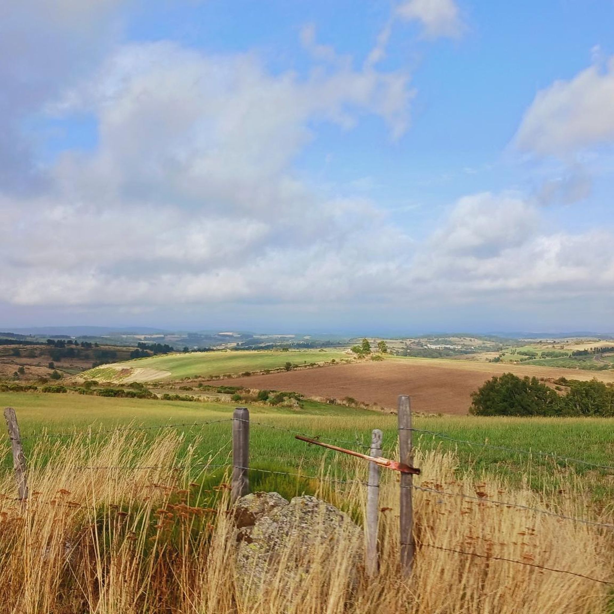
Hiking around Rieutort-De-Randon offers diverse terrain within the Margeride massif, characterized by granite landscapes, extensive forests, and vast prairies. The region features significant natural landmarks such as Lac de Charpal, a large lake formed by a dam on the Colagne river, and the Truc de Fortunio, the highest point in the Margeride at 1552 meters. The village itself is situated at an elevation of around 1,150 meters, contributing to a mountainous climate and varied ecosystems including peat bogs. This elevated…
Last updated: July 7, 2026
4.8
(63)
647
hikers
8.60km
02:13
40m
40m
Moderate hike. Good fitness required. Easily-accessible paths. Suitable for all skill levels.
4.0
(1)
9
hikers
14.1km
04:17
470m
470m
Hike the moderate 8.8-mile Tour of Truc de Fortunio in Margeride, gaining 1558 feet for 360-degree panoramic views from the summit.

Sign up for free
16.6km
04:44
400m
400m
Moderate hike. Good fitness required. Easily-accessible paths. Suitable for all skill levels.
4.6
(7)
46
hikers
Moderate hike. Good fitness required. Easily-accessible paths. Suitable for all skill levels.
4.6
(8)
49
hikers
13.7km
03:56
320m
320m
Moderate hike. Good fitness required. Easily-accessible paths. Suitable for all skill levels.
Get access to more routes and recommendations from other explorers.
Sign up for free
Already have an account?
Our route recommendations are based on thousands of hikes, rides, and runs completed by other people on komoot.
Start today with a free account
Your next adventure awaits.
Login or Signup

Other adventures around Rieutort-De-Randon

Tips from the Community

The Fortunio peak is the highest point in the Margeride massif. It is therefore naturally designated as the ideal observation post for Lake Charpal.
0
0

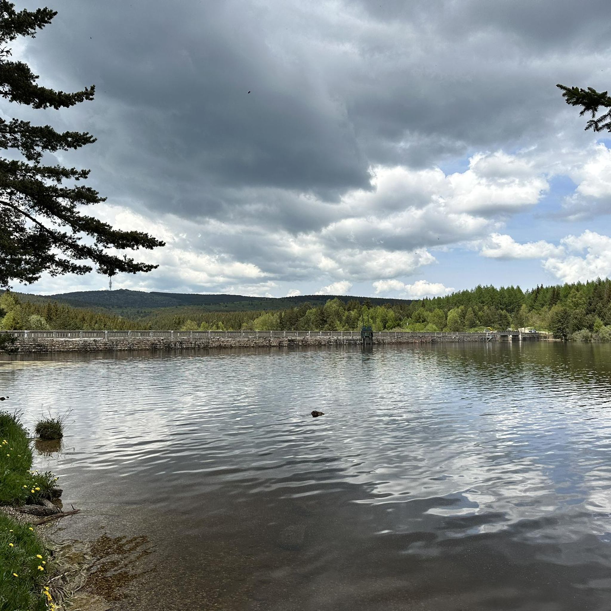
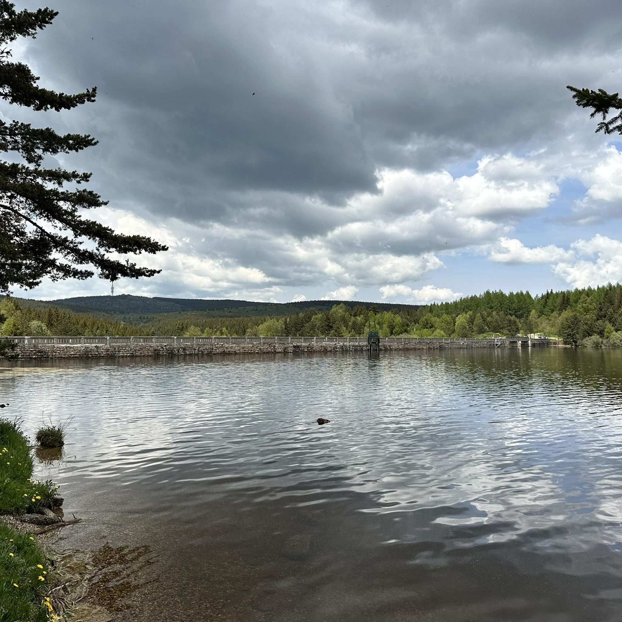
Lac de Charpal lies at an altitude of 1,360 meters amidst raised bogs, forests, and heathland. This artificial reservoir, built in the 1930s, supplies Mende with drinking water. Today, it is a tranquil retreat, popular for hiking, nature observation, and its protected flora and fauna.
0
0
Lac de Charpal lies at an altitude of 1,360 meters amidst raised bogs, forests, and heathland. This artificial reservoir, built in the 1930s, supplies Mende with drinking water. Today, it is a tranquil retreat, popular for hiking, nature observation, and its protected flora and fauna.
0
0

Very nice walk, the first part is a little difficult to access the lake because of the big difference in altitude. But the tour of the lake is very pleasant, and accessible with children (10 years old)
0
0

An extremely pleasant walk with beautiful panoramas, to do on foot or by bike, a successful experience despite a headwind on the eastern side of the lake which cools the air, I highly recommend it.
1
0

The Charpal lake discovery trail offers numerous perspectives on the body of water. This one is particularly beautiful! A path allows you to approach the water.
1
0
This small footbridge allows you to discover a wetland without soaking your feet! The surrounding meadow is a natural setting, and is home to a rich and varied fauna and flora.
0
0

A dam on the Colagne river created this Charpal lake. It supplies the town of Mende with drinking water. The Charpal site was originally chosen in 1925 to create an underwater munitions depot. This strange project never took place, because the lake was not deep enough and did not allow the immersion of the powder.
1
0
Frequently Asked Questions
How many hiking trails are available around Rieutort-De-Randon?
There are nearly 30 hiking trails around Rieutort-De-Randon, offering a wide range of experiences. You'll find options from easy strolls to more challenging ascents, with 10 easy, 17 moderate, and 2 difficult routes to explore.
What kind of terrain can I expect on hikes in Rieutort-De-Randon?
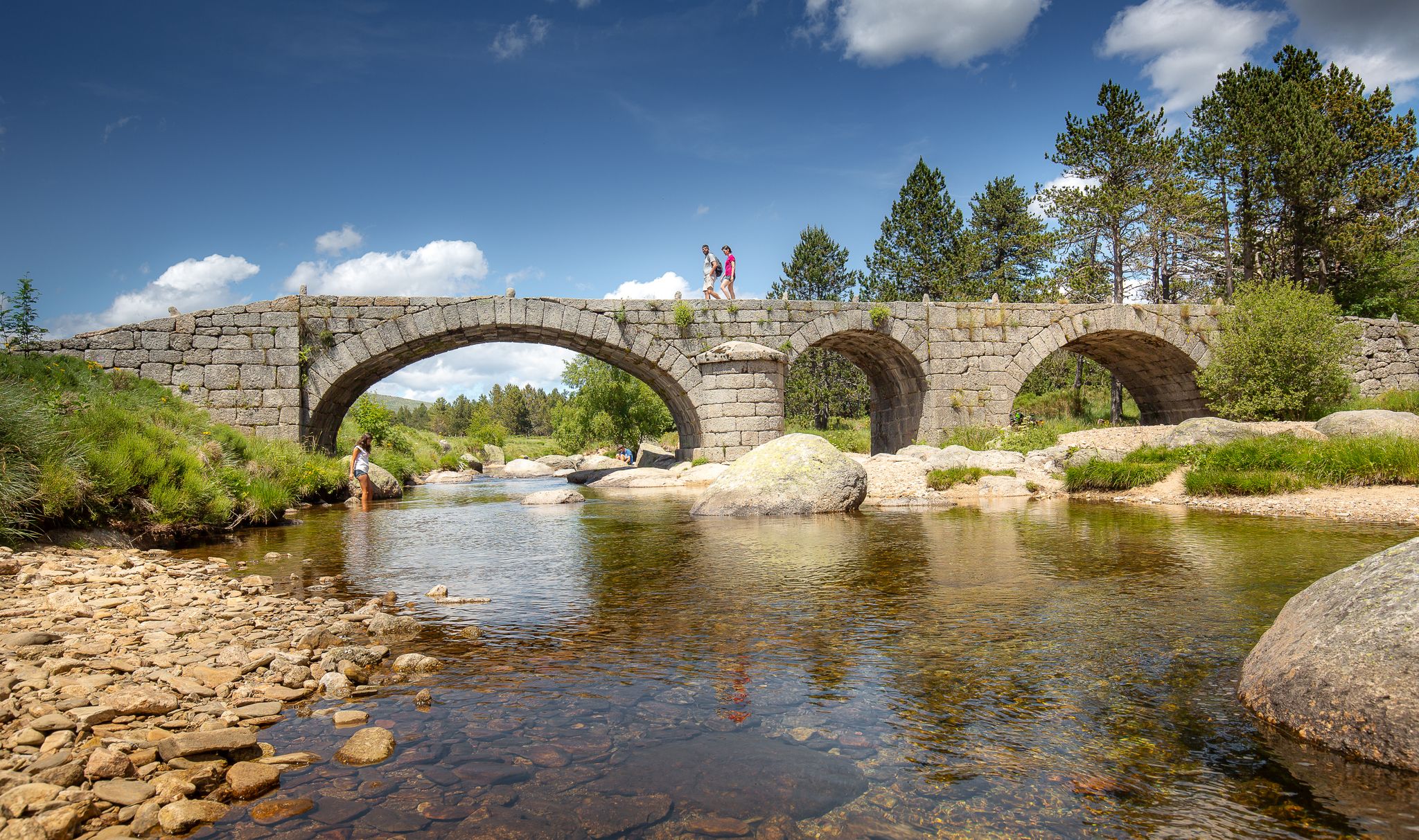
The terrain around Rieutort-De-Randon is highly varied, characteristic of the Margeride massif. You can expect granite landscapes, extensive forests, vast prairies, and unique 'chaos granitique' rock formations. Trails often traverse ancient Roman roads, forest paths, and even peat bogs, providing a diverse and engaging hiking experience.
Are there any family-friendly hiking options in Rieutort-De-Randon?
Yes, Rieutort-De-Randon offers several family-friendly hiking options, particularly around Lac de Charpal. The 'Tour du Lac de Charpal' is a popular, relatively flat route with minimal elevation gain, much of it winding through sub-wooded areas, making it enjoyable for all ages, even in warmer conditions. You can find an example with the Discover Charpal lake route.
What are the main natural landmarks or viewpoints to see while hiking?
The region boasts significant natural landmarks and panoramic viewpoints. The Lac de Charpal is a key highlight, offering serene lakeside paths. For breathtaking views, hike to the Truc de Fortunio, the highest point in the Margeride at 1552 meters, where an orientation table provides a 360-degree panorama encompassing the Aubrac, Lozère, and the lake.
Are there any circular hiking routes available?
Yes, many of the trails around Rieutort-De-Randon are circular, allowing you to start and end at the same point. Popular circular routes include those around Lac de Charpal and those incorporating the Truc de Fortunio. For example, the Truc de Fortunio – Lake Charpal loop from Truc de Fortunio offers a comprehensive circuit.
What is the best time of year to go hiking in Rieutort-De-Randon?
Rieutort-De-Randon, situated at an elevation of around 1,150 meters, experiences a rigorous yet often sunny mountainous climate. While hiking is possible in many seasons, late spring through early autumn generally offers the most pleasant conditions. The sub-wooded paths around Lac de Charpal are particularly enjoyable during warmer months.
What do other hikers say about the trails in Rieutort-De-Randon?
The trails in Rieutort-De-Randon are highly regarded by the komoot community, with an average rating of 4.5 stars from over 100 reviews. Nearly 1000 hikers have explored the area using komoot, often praising the diverse landscapes, from serene lake shores to panoramic mountain views, and the well-maintained paths.
Are there any long-distance hiking trails that pass through Rieutort-De-Randon?
Yes, Rieutort-De-Randon is connected to several significant long-distance hiking trails. These include the GR4, GR43 ('Les drailles de la Margeride'), GR470 ('Sources et gorges de l'Allier'), and the Via Agrippa. These routes offer extensive trekking possibilities for those looking for multi-day adventures.
Can I reach hiking trailheads using public transport?
While specific public transport options directly to all trailheads might be limited in this rural area, Rieutort-De-Randon is a village with some local services. It's advisable to check local bus schedules or consider driving to access the starting points of many trails, especially those leading to more remote areas like Lac de Charpal or Truc de Fortunio.
Are there any interesting villages or historical sites near the hiking routes?
The region is rich in history and traditional architecture. Hiking routes often pass through or near typical granite villages of the Margeride. While hiking, you might encounter sites like the Village Mort de La Chaumette. The nearby town of Mende, about 20 kilometers away, also offers historical attractions such as its Old Town and Cathedral Notre-Dame-et-Saint-Privat.
What is the elevation range for hikes in Rieutort-De-Randon?
The village of Rieutort-De-Randon itself is situated at an elevation of around 1,150 meters. The commune's highest point, the Truc de Fortunio, reaches 1,552 meters. This means hikes can range from relatively flat lakeside paths with minimal elevation gain to more strenuous ascents with several hundred meters of climb.
Is Rieutort-De-Randon close to any national parks?
Yes, Rieutort-De-Randon is conveniently located about 29 km from the Cévennes National Park. This proximity offers even more varied landscapes and extensive hiking opportunities for those wishing to explore beyond the immediate Margeride area.
Most popular routes around Rieutort-De-Randon
Most popular attractions around Rieutort-De-Randon

Get inspired with the komoot mobile app


Explore more
Browse the best Hikes in other regions.
