The best cycling routes around Saint-Léger-De-Peyre
4.0
(59)
765
riders
117
rides
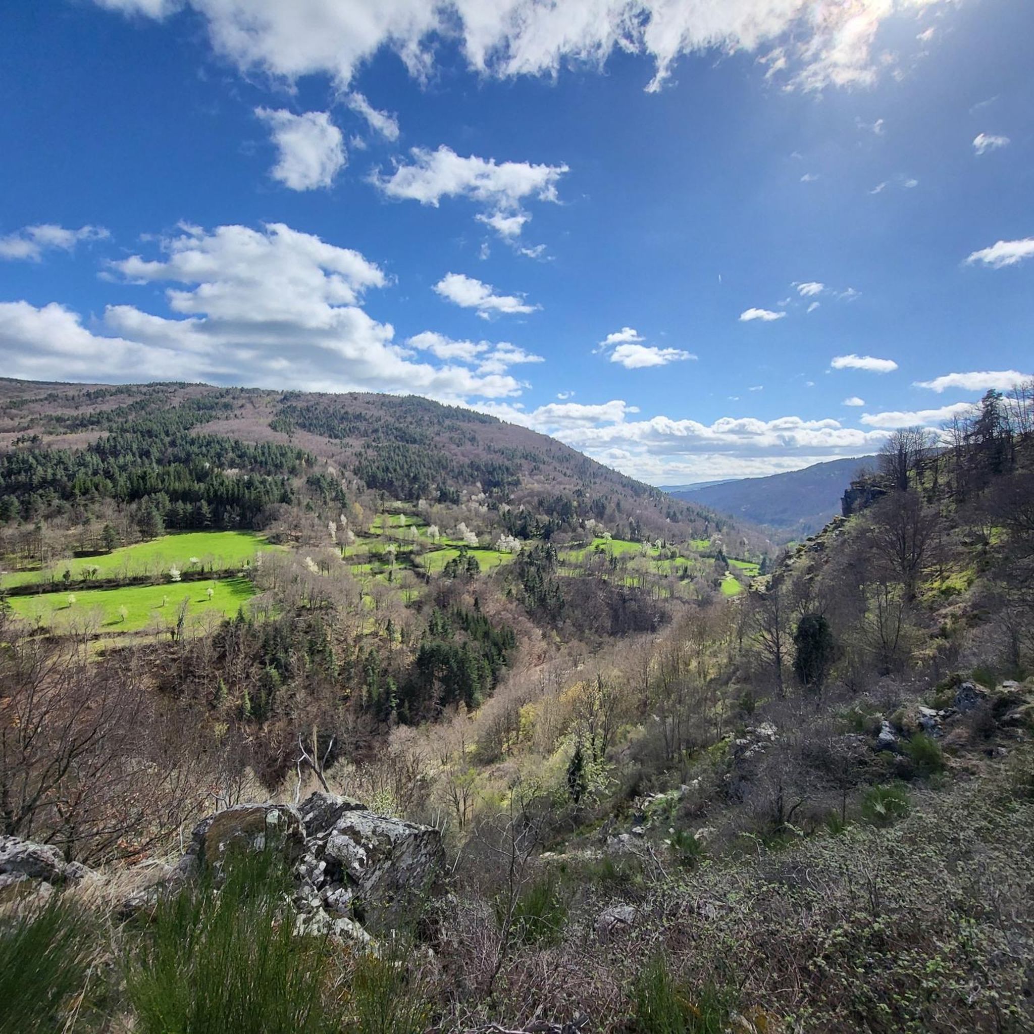
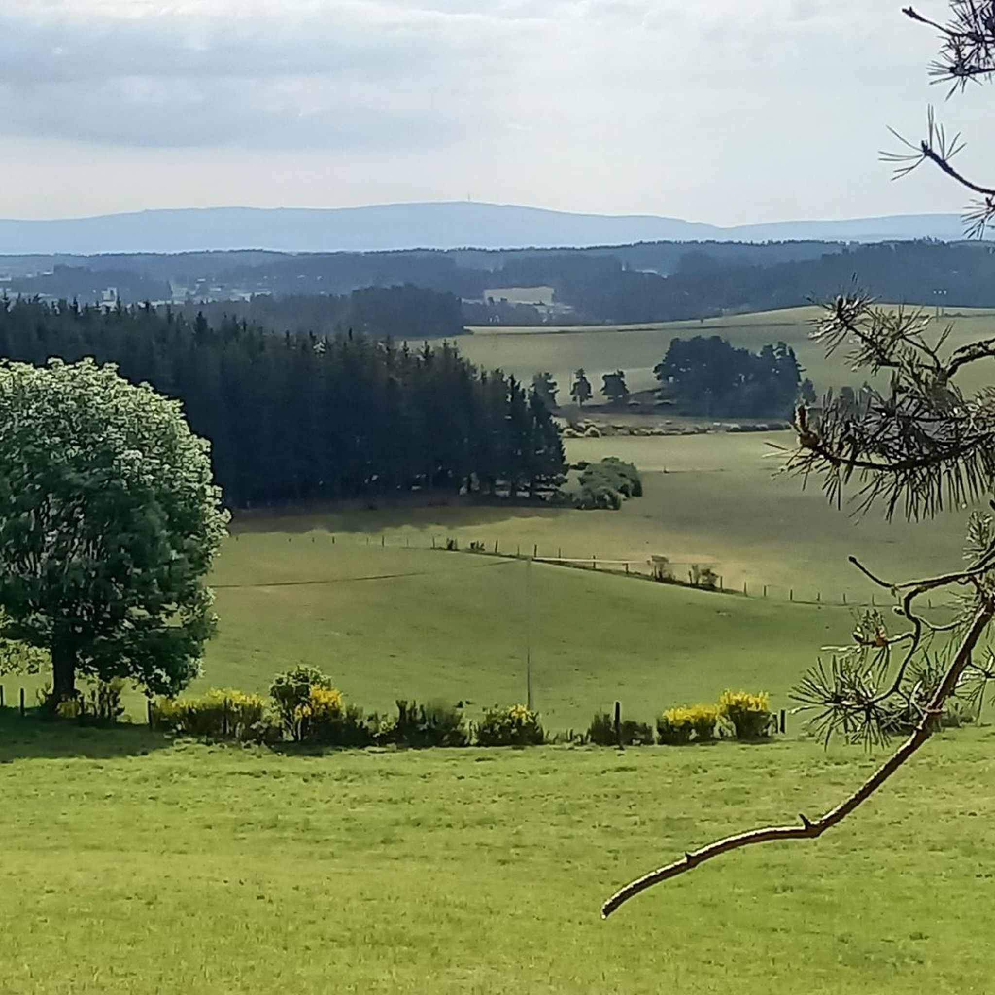
Touring cycling routes around Saint-Léger-De-Peyre traverse a landscape characterized by the confluence of the Colagne and Crueize rivers, creating fertile valleys and varied topography. The region is situated on the foothills of the Margeride mountains, offering routes with ascents and descents. This area provides a mix of challenging terrain and more leisurely paths, catering to diverse cycling preferences.
Best touring cycling routes around Saint-Léger-De-Peyre
- The most popular touring cycling route is Montjézieu – Le segala monjesieut loop from Marvejols,…
Last updated: June 29, 2026
4.5
(2)
23
riders
76.9km
04:47
790m
790m
Hard bike ride. Very good fitness required. Mostly paved surfaces. Suitable for all skill levels.
5.0
(1)
25
riders
57.3km
03:41
730m
730m
Hard bike ride. Very good fitness required. Mostly paved surfaces. Suitable for all skill levels.

Sign up for free
4.4
(8)
27
riders
36.5km
02:13
300m
300m
Moderate bike ride. Good fitness required. Mostly paved surfaces. Suitable for all skill levels.
25
riders
Hard bike ride. Very good fitness required. Mostly paved surfaces. Suitable for all skill levels.
1.0
(1)
24
riders
71.3km
05:06
1,150m
1,150m
Hard bike ride. Very good fitness required. Mostly paved surfaces. Suitable for all skill levels.
Get access to more routes and recommendations from other explorers.
Sign up for free
Already have an account?
Our route recommendations are based on thousands of hikes, rides, and runs completed by other people on komoot.
Start today with a free account
Your next adventure awaits.
Login or Signup

Tips from the Community


We passed and enjoyed this during our Camino trip in 2025: https://youtu.be/xZkbnoCtUzE
0
0

Nice place with an old tower and a winding old town on the mountain.
0
0

Aumont-Aubrac is located in the Lozère department on the Aubrac plateau and is one of the charming stopping points on the Way of St. James, the Via Podiensis. The village captivates with its narrow streets, traditional granite houses, and a remarkable church. Pilgrims and hikers appreciate the warm atmosphere and the numerous accommodations. Aumont-Aubrac is known for its culinary specialties featuring Aubrac beef. The surrounding landscape of meadows, forests, and expansive plateaus invites hikes and makes the village an ideal starting point for nature lovers.
0
0
little information about the history and a beautiful view of the castle tower
4
0
Beautiful view of the town from the D32.
2
0
small parking lot and nice little water point, very refreshing
1
0
Very nice restaurant on the Lot River. The salad was specially prepared to my liking. Cold drinks were perfect.
2
0
Frequently Asked Questions
How many touring cycling routes are available in Saint-Léger-De-Peyre?
There are over 100 touring cycling routes around Saint-Léger-De-Peyre, offering a wide range of options for different skill levels and preferences. The komoot community has explored 109 routes in total.
Are there easy touring cycling routes suitable for families?
Yes, the region offers easy and familial cycling routes. For instance, the "A la découverte de Saint Léger de Peyre" circuit, originating from Marvejols, is a 12km road cycling route that follows the Colagne and Crueize rivers, showcasing authentic old stone houses and cultural heritage. While specific easy routes are fewer, the overall network includes options for less strenuous rides.
What are some challenging touring cycling routes in the area?
For those seeking a challenge, Saint-Léger-De-Peyre is situated on the foothills of the Margeride mountains, providing routes with significant ascents and descents. The Chanac – Banassac loop from Marvejols is a difficult 57.6 km path with substantial elevation changes. Additionally, the "Vallée de l'Enfer" (Hell Valley) offers gorges and narrow, winding roads with breathtaking views for adventurous cyclists.
Are there circular touring cycling routes around Saint-Léger-De-Peyre?
Many of the touring cycling routes in the area are designed as loops, allowing you to start and end in the same location. Examples include the Montjézieu – Le segala monjesieut loop from Marvejols, a 76.9 km trail, and the Montjézieu – Booz Restaurant loop from Marvejols, which is 36.5 km long.
What kind of scenery can I expect on these touring cycling routes?
The routes traverse diverse landscapes, from the picturesque confluence of the Colagne and Crueize rivers, creating fertile valleys, to the elevated terrain of the Margeride foothills. You can expect scenic views of gorges, impressive viaducts like the Viaduc de l'Enfer, and panoramic vistas over the Margeride, Cévennes, and Cantal mountains from points like Pic de Mus.
What are some interesting places or landmarks to see along the routes?
While cycling, you can discover historical elements such as the Saint Stephen's Church, a former Benedictine priory, and various wayside crosses. The village itself retains remnants of its past wool industry with authentic old stone houses. For a unique stop, the Gévaudan Wolf Park is just a few minutes away.
Where can I park my car when starting a touring cycling route?
Many routes originate from towns like Marvejols, which typically offer public parking facilities. For specific trailheads, it's advisable to check the individual route details on komoot for parking recommendations. The region is well-equipped for cyclists, suggesting accessible starting points.
What is the best time of year for touring cycling in Saint-Léger-De-Peyre?
The region is suitable for touring cycling across various seasons, but spring and autumn generally offer the most pleasant weather with moderate temperatures and vibrant natural colors. Summer can also be enjoyable, especially for routes along rivers or those incorporating stops at places like Lac Ganivet, which has an equipped beach for cooling off.
How long do the touring cycling routes typically take to complete?
Route durations vary significantly based on distance and difficulty. For example, the Montjézieu – Le segala monjesieut loop from Marvejols, at 76.9 km, takes approximately 4 hours 46 minutes, while the Montjézieu – Booz Restaurant loop from Marvejols, at 36.5 km, can be completed in about 2 hours 12 minutes. There are options ranging from shorter, leisurely rides to full-day excursions.
What do other cyclists say about touring cycling in Saint-Léger-De-Peyre?
The touring cycling routes in Saint-Léger-De-Peyre are highly rated by the komoot community, with an average score of 4.1 stars from over 50 reviews. Cyclists often praise the varied terrain, the scenic river valleys, and the opportunities to explore the Margeride foothills. Over 700 touring cyclists have used komoot to discover the area's diverse paths.
Are there any routes that pass by Lac Ganivet?
Yes, you can find routes that incorporate the serene natural setting of Lac Ganivet. The Lac de Ganivet – Porte du Soubeyran, Marvejols loop from Recoules-de-Fumas is a 50.1 km route that allows you to experience this artificial lake on the Haute Colagne, offering a pleasant stop during your ride.
Can I find routes that explore the Margeride foothills?
Absolutely. Saint-Léger-De-Peyre is situated directly on the foothills of the Margeride mountains, meaning many routes will take you through this elevated terrain. This provides a backdrop of varied gradients and opportunities for routes with ascents and descents, appealing to cyclists looking for a more dynamic ride, such as the Aumont-Aubrac – Aumont-Aubrac loop from Marvejols.
Are there routes that follow the rivers in the region?
Yes, the village is uniquely situated at the confluence of the Colagne and Crueize rivers, offering picturesque waterside routes. Many cycling paths, including the easy "A la découverte de Saint Léger de Peyre" circuit, follow these rivers, providing a gentle and scenic experience through fertile valleys and past local settlements.
Most popular routes around Saint-Léger-De-Peyre
Most popular attractions around Saint-Léger-De-Peyre

Get inspired with the komoot mobile app


Explore more
Browse the best Cycling routes in other regions.
