Top 4 Mountain Passes around Saint-André-Les-Alpes
Best mountain passes around Saint-André-Les-Alpes are found in the Alpes-de-Haute-Provence department, offering access to several notable passes in the Southern Alps. This region is situated within the Verdon Regional Natural Park, characterized by its natural landscapes and the emerald-green Lac de Castillon. Saint-André-Les-Alpes serves as a hub for outdoor activities, including cycling and mountain biking routes. The area provides diverse terrain for exploring mountain passes.
Best mountain passes around Saint-André-Les-Alpes
- The most popular mountain passes is Route de Soleilhas,…
Last updated: August 20, 2026
Col du Défens (1,230 m)
Highlight • Mountain Pass
Translated by Google •
Tip by

Col de Toutes Aures (1,124 m)
Highlight • Mountain Pass
Translated by Google •
Tip by

Sign up now to discover places like this
Get recommendations on the best single tracks, peaks, & plenty of other exciting outdoor places.
Sign up for free
Col des Robines
Highlight • Mountain Pass
More information: fr.wikipedia.org/wiki/Col_des_Robines and alpenrouten.de/Robines-Col-des_point927.html
Translated by Google •
Tip by

Route de Soleilhas
Highlight (Segment) • Viewpoint
Translated by Google •
Tip by

Col des Lèques (1146 m)
Highlight • Mountain Pass
Translated by Google •
Tip by

Start today with a free account
Your next adventure awaits.
Login or Signup
Popular around Saint-André-Les-Alpes
P'tites Routes du Soleil (Little Routes of the Sun)
In the shadow of Europe's largest canyon – the TransVerdon
Hiking around Saint-André-Les-Alpes
Cycling around Saint-André-Les-Alpes
Road Cycling Routes around Saint-André-Les-Alpes
MTB Trails around Saint-André-Les-Alpes
Running Trails around Saint-André-Les-Alpes
Gravel biking around Saint-André-Les-Alpes


Tips from the Community

The circular hike was closed, the campsite and the cafe were closed
0
0

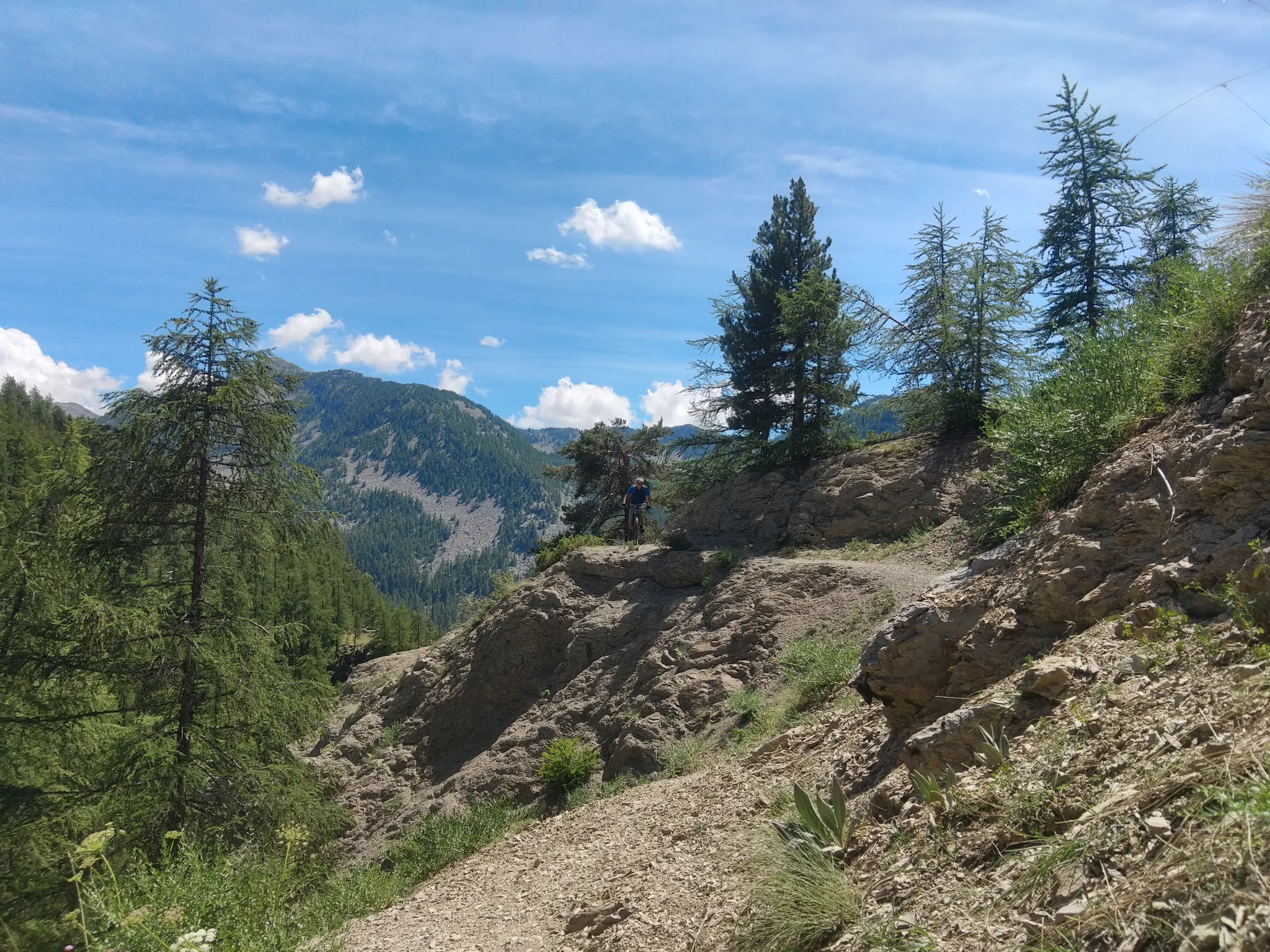
The western access is good for climbing and the eastern access for descending; we had little traffic.
1
0

Incredible plateau at over 1000 meters at the gateway to the Verdon.
0
0

A very easy climb to pedal.
16
1

Beautiful landscape, small road, only the last bends are strenuous.
3
0

The Col des Robines peaks at 988m and will allow you to climb to almost 1000m without making any effort because from Moriez you would have a slope of around 3km with a slope not exceeding 5% and on the Saint-André les Alpes side this will be shorter, around 1.5 km, but harder with an average of 6-7%. Be careful, however, of the often very heavy traffic on this pass because it is on the RN 202 which is HUGELY used almost all year round.
1
0

The Col de la Croix de Toutes Aures, often referred to as the Col de Toutes Aures, is a road pass on the Chambaran plateau on departmental road 518, located in the Isère department at 628 m altitude. Its name means "passage of all horizons" or "all winds" because its dominant position on the Chambaran plateau subjects it to numerous and changing wind currents, coming from all sides. In France, there are two other steps "de Tous Aures". The first is in the Alpes de Haute Provence and connects the Var valley with Lake Costillon. A second is located in Isère, in the foothills of the Vercors and connects Choranche with Presles. This pass is the meeting place for cyclists and hikers with the start of the Brion walk. (see the new Bièvre-Valloire map-guide)
1
0

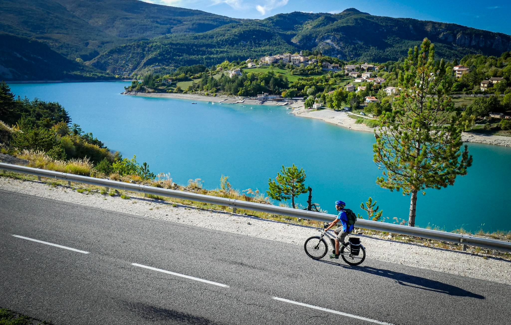
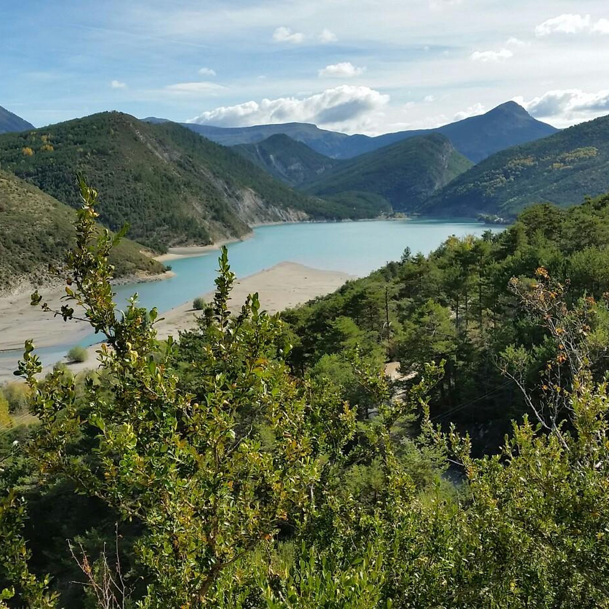
Magnificent views of Lac de Castillon at the turn of the laces
0
0
Frequently Asked Questions
What are some of the most scenic mountain passes accessible from Saint-André-les-Alpes?
While Saint-André-les-Alpes itself is home to local passes, the region offers access to several renowned and scenic passes in the Southern Alps. These include the Col d'Allos, known for its exceptional mountain landscapes and as a gateway to Mercantour National Park, and the Col de la Cayolle, which traverses the Mercantour National Park with abundant wildlife and diverse flora. Another wild and magnificent option is the Col des Champs, offering splendid views as you emerge from the forest into a mineral environment.
What are some local mountain passes directly around Saint-André-les-Alpes?
Around Saint-André-les-Alpes, you can explore passes like Col du Défens (1,230 m), which offers a good quality road, minimal traffic, and magnificent scenery. Another option is Col des Lèques (1146 m), where the western access is suitable for climbing. The Col des Robines is a small alpine pass on the N202, offering a gentle climb from Moriez.
What kind of natural features can I expect to see when visiting these mountain passes?
The mountain passes in this region offer diverse natural beauty. For instance, the Col d'Allos provides access to the Mercantour National Park and Lac d'Allos, Europe's largest natural high-altitude lake. The Col de la Cayolle traverses the Mercantour National Park, boasting abundant wildlife like marmots and diverse flora, along with impressive gorges and the source of the Var river. Near Saint-André-les-Alpes, you can also find Route de Soleilhas, offering magnificent views of Lac de Castillon.
What is the best time of year to visit the mountain passes near Saint-André-les-Alpes?
Most high mountain passes in the Southern Alps, such as Col d'Allos and Col de la Cayolle, are typically open from May or June to October, closing in winter due to snow. The summer and early autumn months (June to September) generally offer the best weather for cycling, hiking, and enjoying the panoramic views.
Are there opportunities for cycling on these mountain passes?
Yes, the mountain passes in this region are very popular among cyclists. The Col d'Allos is a legendary cycling climb, having been crossed 34 times by Tour de France riders. The Col de la Cayolle and Col des Champs are also well-regarded for cycling, often forming part of a challenging and scenic loop. For local routes, passes like Col du Défens (1,230 m) offer good quality roads with minimal traffic, suitable for accessible climbs. You can find more cycling routes in the area by visiting the Cycling around Saint-André-Les-Alpes guide.
What outdoor activities can I do near the mountain passes around Saint-André-les-Alpes?
Beyond cycling, the region offers excellent opportunities for hiking and gravel biking. The Col d'Allos is a popular starting point for hiking, including routes into the Mercantour National Park. The Col de la Cayolle also offers exceptional views and is a popular spot for hiking. For more specific trails, explore the Hiking around Saint-André-Les-Alpes guide or the Gravel biking around Saint-André-Les-Alpes guide.
Are there any family-friendly options or easy routes for beginners?
While some high mountain passes can be challenging, many areas around Saint-André-les-Alpes offer more accessible options. For instance, the ascent of Col du Défens (1,230 m) is described as very accessible on both sides. The region also features numerous marked trails for hiking and cycling, some of which are suitable for families or beginners. The Hiking around Saint-André-Les-Alpes guide includes easy and moderate routes like the 'Sentier des Pêcheurs loop'.
What do visitors enjoy most about the mountain passes in this area?
Visitors frequently appreciate the stunning landscapes, the challenge of the ascents, and the sense of immersion in nature. Tips for Col du Défens (1,230 m) highlight its 'magnificent scenery' and 'good quality road with very little traffic'. The Route de Soleilhas is praised for its 'spectacular viewpoints' and 'magnificent views of Lac de Castillon'.
Can I find wildlife or unique flora around these mountain passes?
Yes, the region is rich in biodiversity, especially within the Mercantour National Park, which the Col de la Cayolle traverses. Here, you can expect to see abundant wildlife, including marmots, and diverse flora. The Col d'Allos also offers opportunities to spot marmots, sheep, or cows grazing in the fields, adding to the natural experience.
Are there any historical or cultural points of interest near the mountain passes?
While the primary draw of these passes is natural beauty and outdoor activities, some locations have historical significance. For example, the road over the Col de la Cayolle includes impressive engineering structures dating back to 1910. The passes themselves have a rich history, particularly for cycling enthusiasts, with the Col d'Allos being a frequent feature in the Tour de France since 1911.
What are the typical elevations of the mountain passes in the region?
The passes accessible from Saint-André-les-Alpes vary significantly in elevation. High mountain passes like the Col d'Allos reach 2,247 meters (7,382 feet), the Col de la Cayolle culminates at 2,326 meters (7,631 feet), and the Col des Champs is at 2,087 meters (6,847 feet). Closer to Saint-André-les-Alpes, you'll find passes like Col du Défens (1,230 m) and Col des Lèques (1146 m), offering lower but still scenic ascents.
Most popular routes around Saint-André-Les-Alpes
Most popular attractions around Saint-André-Les-Alpes

Get inspired with the komoot mobile app


Explore more
See even more epic mountain passes by checking out these guides around Saint-André-Les-Alpes:
