The best walks and hikes around Saint-Agnant
4.5
(148)
1,254
hikers
137
hikes
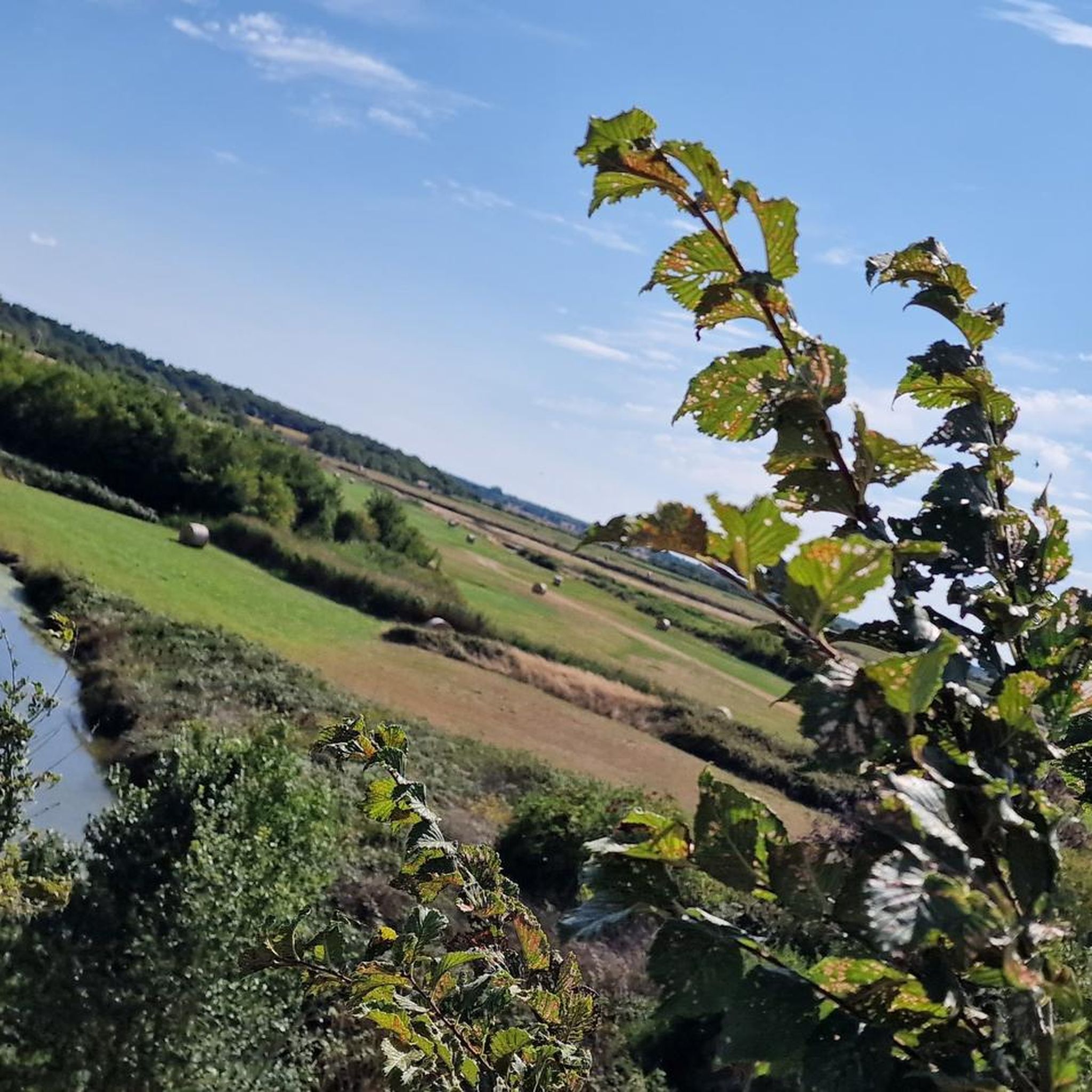
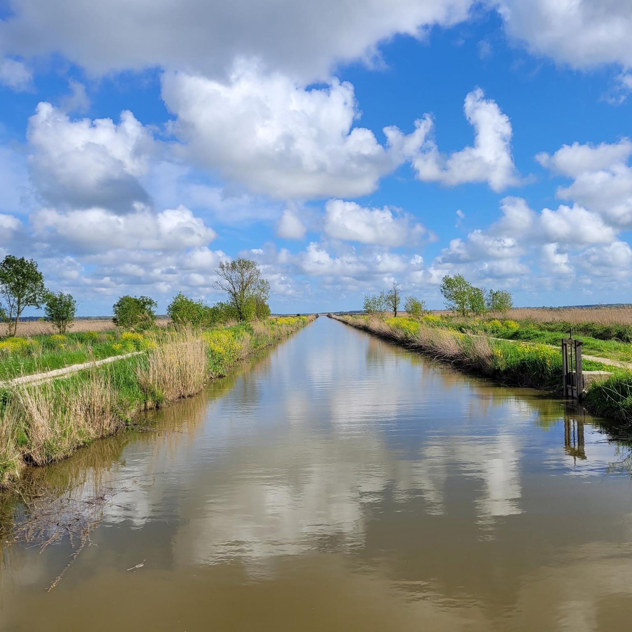
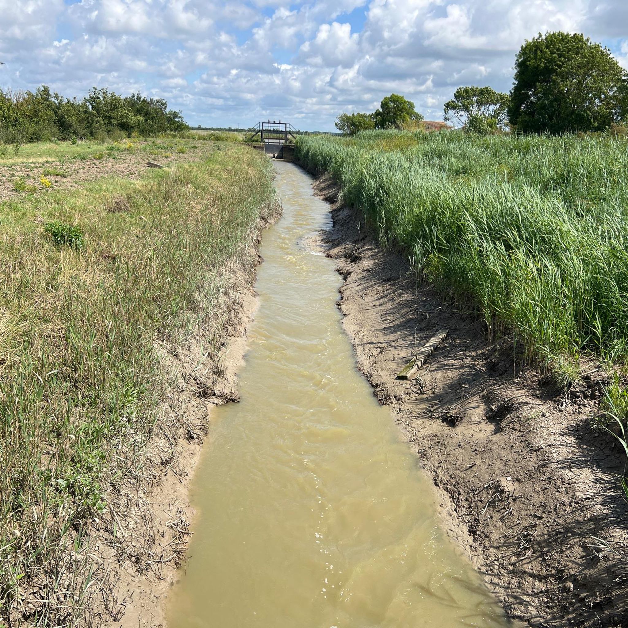
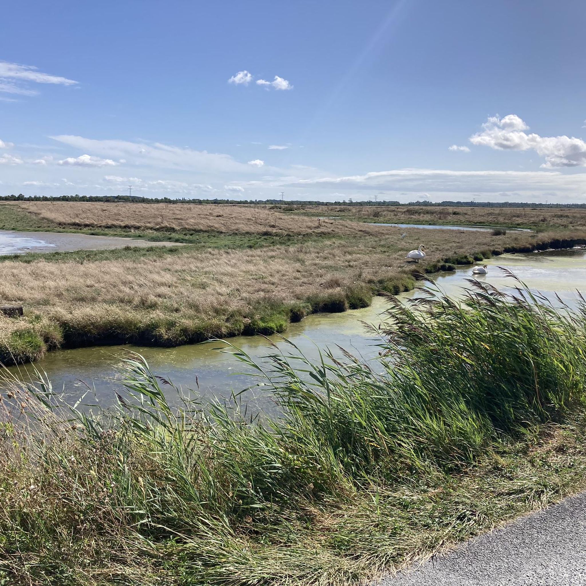
Hiking around Saint-Agnant offers a network of trails through the Charente-Maritime region. The landscape is characterized by relatively flat terrain, with low elevation gains, making it accessible for various activity levels. Features include local lakes, riverine areas, and open countryside. The region provides opportunities to explore the natural environment on foot.
Best hiking trails around Saint-Agnant
- The most popular hiking route is Lac de Trizay loop from Échillais, an easy 3.9 miles (6.3 km) trail that takes 1 hour…
Last updated: August 25, 2026
5.0
(1)
28
hikers
25.0km
06:23
80m
80m
Hard hike. Very good fitness required. Easily-accessible paths. Suitable for all skill levels.
5.0
(2)
14
hikers
9.13km
02:18
10m
10m
Moderate hike. Good fitness required. Easily-accessible paths. Suitable for all skill levels.

Sign up for free
14
hikers
Moderate hike. Good fitness required. Easily-accessible paths. Suitable for all skill levels.
18
hikers
26.3km
06:39
50m
50m
Hard hike. Very good fitness required. Easily-accessible paths. Suitable for all skill levels.
4.8
(4)
10
hikers
7.85km
02:01
30m
30m
Moderate hike. Good fitness required. Easily-accessible paths. Suitable for all skill levels.
Get access to more routes and recommendations from other explorers.
Sign up for free
Already have an account?
Our route recommendations are based on thousands of hikes, rides, and runs completed by other people on komoot.
Start today with a free account
Your next adventure awaits.
Login or Signup
Tips from the Community


A pretty 12th century church located in the town of Échillais. You can also find public toilets on site if you need them.
1
0

If you're wondering what this huge bridge-like structure is, it's a transporter bridge that spans the harbor to move vehicles and people from one bank to the other in a gondola (or transporter ) suspended from a carriage passing under the apron. Initially powered by steam, it now uses electricity. It was recently renovated and can still be used to cross the estuary.
3
0

The crossing costs €2 and takes a few minutes. Be careful, tickets are on sale, on the Echill side, at the ferry house, which is not open before 9:30 a.m.! However, you can buy the ticket from the driver when boarding, but only by credit card ;-) With the Soubise ferry, it's another nice way to cross the Charente.
4
1

Small town best known among cyclists for its river shuttle to Rochefort. The town remained for a long time an important crossing point for crossing the Charente between and the ocean, one of the only crossing points of the Charente with the Saint-Savinien ferry between Taillebourg and the ocean, until construction in 1842 of the Tonnay-Charente Suspension Bridge. The ferry was located at the current marina. The first mention of this ferry in the archives dates from 1477 but it existed well before. While the Rochefort lifting span bridge was put into service, the crossing of the Charente on the ferry stopped on February 5, 1967. The two stone slipways on either side of the river, where a road from Rochefort ended on the right bank, are still visible today at the village level and are used for launching boats. A ferry or ferry boat, the Rohan, has been back in service since June 2013 for the summer period. It has a transport capacity of 12 people including the pilot and 11 passengers on foot or by bike (2-3 Euro). At an altitude of 13 meters, on a spur overlooking the Charente which naturally lends itself to defense, there was a castle with a village enclosed by a surrounding wall like on the other bank at Rochefort. The castle is attested from 1092 with a first siege, and its destruction by a first fire. It is one of the first rocky banks encountered coming from the sea, on the left (south) bank of the Charente. On a seal dated 1383 there is this inscription in Latin: “subissia prima urbs insularum est sub borea” which can be translated as: “Soubise is the first town in the lee of the islands”. This is why in 1665, Jean-Baptiste Colbert proposed to the Duke of Rohan to sell his lordship or exchange it with the king to build a war port to arm and repair ships to protect them from attacks. English, but he refused and the project was finally carried out in Rochefort which is further from the estuary with a smaller draft. https://fr.wikipedia.org/wiki/Soubise_(Charente-Maritime)
1
1
The various imposing bridges that span the Charente river are visible from afar
0
1

Destroyed several times at the end of the Hundred Years' Wars (1337-1453) and the Wars of Religion (1560- 1598), the church was partly rebuilt, probably on different occasions. Kept in its original place, the cemetery still adjoins the church. Another cemetery was discovered recently, during the excavations of 2006, under the current place of November 11th. The building has two naves of the same height separated by a row of columns. On the right nave, at the height of the choir, stands a square bell tower with a low pyramidal roof, pierced on its four sides by two twin trefoil windows and surmounted by a weather vane in the shape of a rooster. At the end of the Middle Ages, a sacristy was added to the building, a rare occurrence for rural churches of this period. Two entrance doors adorned with a small triangular pediment open onto each of the naves. We can see in the church 4 statues on plinths: St Nazaire, St Eutrope, St Antoine de Padoue and Ste Eustelie. The high altar, located in the choir of the church, is decorated with a painting dated 1860, “The Virgin and Child” by Hansmann. And which is a gift from Emperor Napoleon Ill and his wife In a display case stands one of the most beautiful models of painted wooden boats in Charente-Maritime. This ship, a 74-gun building that sailed from 1763 to 1806, is a two-decker. It was the restoration in 1986 of the ex-voto boat, then vulgarly called "Le Léon", that enabled the real name to be found under a coat of paint. It is likely that this model (H: 117 cm. I: 160 cm) was built after 1815 by a former sailor from Zelé After months of restoration, he returned to the side aisle at the end of 1990. Some important dates, known relating to the church of Saint-Nazaire: August 21, 1775, blessing of the bell by Monsignor Pierre Marivaux, dean prior, archpriest of Soubise. The godfather and godmother were the sieur Gilles Huet de la Brousse, receiver of the King's farms in Rochefort and Dame Jeanne Perrine Murie !, widow Arondel, postmaster at Rochefort. Said bell was melted in La Rochelle by the Sieur François La Vouzelle, founder. During the troubled times of the Revolution, the church was no longer a place of worship, but it had become a great republican gathering place: public platform, tribunal for the committee of surveillance and public health, municipal elections, elections of the National Guard companies ... On November 11, 1793, the commune of Saint-Nazaire was renamed to take the name of "Commune Marat". On February 28, 1798, in this church took place "the great Feast of the Sovereignty of the People", civic feast, described in the archives of the municipality. May 11, 1920, election of the marble slab and its stone frame of Crazannes, on which will be engraved the names of the dead of the 1914-1918 war.
0
1
A transporter bridge is a bridge spanning a port, a canal or a river, to transport vehicles and people from one bank to the other in a nacelle (or ferry) suspended from a cart rolling under the deck. Traction, by cable controlled from the shore, was first provided by a steam engine and then, very quickly, by an electric motor. Originally, this transporter bridge was created to replace the ferries that made the crossings. These were unreliable and very dependent on the flow of the Charente, itself a function of rain, wind and especially tides. It was the engineer Arnodin who made the proposal, in 1888, of his prototype bridge to ensure more safety without hindering traffic. It was in 1900 that the bridge was inaugurated in the presence of the Minister of the Navy at the time, Mr. Lanessan, and the Minister of Public Works, Mr. Baudin. Unfortunately, the population increase and the increasing traffic, the traffic jams are more and more present and it is sometimes necessary to wait more than one hour to have a place on the nacelle. The decision was therefore taken, in 1967, to create a 2nd bridge not far away in order to unclog this axis. A very nice video is visible on youtube https://youtu.be/fOxl8Y3X_Ms Under renovation from 2016 to 2020, the transporter bridge has returned to service in good conditions and is once again providing crossings of the Charente. Some demonstrations are carried out such as those of tightrope walkers in November 2021 francebleu.fr/infos/insolite/non-vous-ne-revez-pas-il-y-a-bien-un-homme-en-equilibre-sous-le-pont -tranbordeur-de-rochefort-1636709367 The Rochefort bridge is closed to traffic from November to February inclusive. The cost of the trip is 2€ per person Know that today there are 8 transporter bridges still in operation in the world, including one in France, that of Rochefort: witnesses of the Belle Époque. Mostly fell into disuse by the middle of the 20th century, replaced by more traditional bridges, they were still impressive nonetheless. The very few modern transporter bridges (since 1930) were only created for tourist attraction or for occasional industrial needs. A new generation transporter bridge project is however being studied in Nantes: the return to soft traffic and the renewal of the maritime connections of the estuary towns give a glimpse of a new life for this type of structure.
5
1
Frequently Asked Questions
Are there easy hiking trails suitable for beginners or families in Saint-Agnant?
Yes, Saint-Agnant offers many easy hiking options. Over 60 of the trails in the area are rated as easy, making them ideal for beginners or families. A great example is the Lac de Trizay loop from Échillais, which is a relatively flat 3.9-mile (6.3 km) path circling a local lake.
What is the typical duration of hikes around Saint-Agnant?
Hikes around Saint-Agnant vary in length and duration. You can find shorter walks, such as the Lac de Trizay loop from Échillais, which takes about 1 hour 35 minutes. Longer excursions, like the Soubise loop from Échillais, can take around 6 hours 20 minutes to complete.
Are the hiking trails around Saint-Agnant dog-friendly?
Generally, the hiking trails in the Saint-Agnant area are dog-friendly. It's always recommended to keep your dog on a leash, especially in agricultural areas or near wildlife, and to clean up after them. Specific rules might apply in certain protected natural areas, so check local signage.
When is the best time of year to go hiking in Saint-Agnant?
The relatively flat terrain around Saint-Agnant makes it suitable for hiking for much of the year. Spring and autumn offer pleasant temperatures and vibrant scenery. Summer is also popular, though it can be warmer, while winter hiking is possible due to the low elevation gains, provided you dress appropriately for cooler, potentially damp conditions.
What kind of landscape can I expect on the hiking trails in Saint-Agnant?
The landscape around Saint-Agnant is characterized by relatively flat terrain with low elevation gains. You'll encounter a mix of local lakes, riverine areas, and open countryside. The trails often provide views of the Charente-Maritime region's natural environment, including agricultural fields and coastal influences.
Are there any circular hiking routes in Saint-Agnant?
Yes, many of the hiking routes around Saint-Agnant are designed as loops, offering convenient circular walks. Examples include the popular Hiking loop from Base aérienne 721 Rochefort and the Lac de Trizay loop from Échillais, allowing you to start and end at the same point.
What do other hikers enjoy most about hiking in Saint-Agnant?
The hiking experience in Saint-Agnant is highly rated by the komoot community, with an average score of 4.6 stars from over 140 reviews. Hikers often praise the accessible, relatively flat paths, the scenic lake views, and the peaceful open countryside that defines the region.
What interesting landmarks or attractions can I see near the hiking trails?
While hiking around Saint-Agnant, you can explore several notable attractions. These include the historic Rochefort Transporter Bridge, the impressive Tonnay-Charente Suspension Bridge, and the fortified Brouage Citadel. The charming settlement of Soubise is also a point of interest.
Are there any moderate or challenging hikes for more experienced hikers?
Yes, while many trails are easy, Saint-Agnant also offers options for more experienced hikers. For example, the Hiking loop from Base aérienne 721 Rochefort is a moderate 7.7-mile (12.4 km) path. For a longer, more challenging excursion, consider the View of the Soubise Bridge loop from Terres de la Borderie, which spans over 16 miles (25 km).
How many hiking trails are available in the Saint-Agnant area?
There are over 120 hiking trails available for exploration in the Saint-Agnant area. This extensive network provides a wide range of options for different preferences and fitness levels, from short, easy strolls to longer, more challenging routes.
Is public transport accessible to reach hiking trailheads in Saint-Agnant?
While specific public transport details for every trailhead are not available, Saint-Agnant and its surrounding towns are generally served by local bus networks. It's advisable to check local transport schedules for routes that connect to your chosen starting points, especially if you plan to rely on public transport.
Are there opportunities for wild swimming near the hiking trails?
The region features local lakes and riverine areas. While specific designated wild swimming spots directly adjacent to hiking trails are not detailed, these natural water bodies may offer opportunities for a refreshing dip. Always check local regulations and safety guidelines before entering any natural water.
Most popular routes around Saint-Agnant
Most popular attractions around Saint-Agnant

Get inspired with the komoot mobile app


Explore more
Browse the best Hikes in other regions.
